Elevation of Gopher Way, Tennessee, USA
Location: United States > Tennessee > Cocke County > Parrottsville >
Longitude: -83.076212
Latitude: 36.026949
Elevation: 400m / 1312feet
Barometric Pressure: 97KPa
Elevation Map:
Satellite Map:
Related Photos:
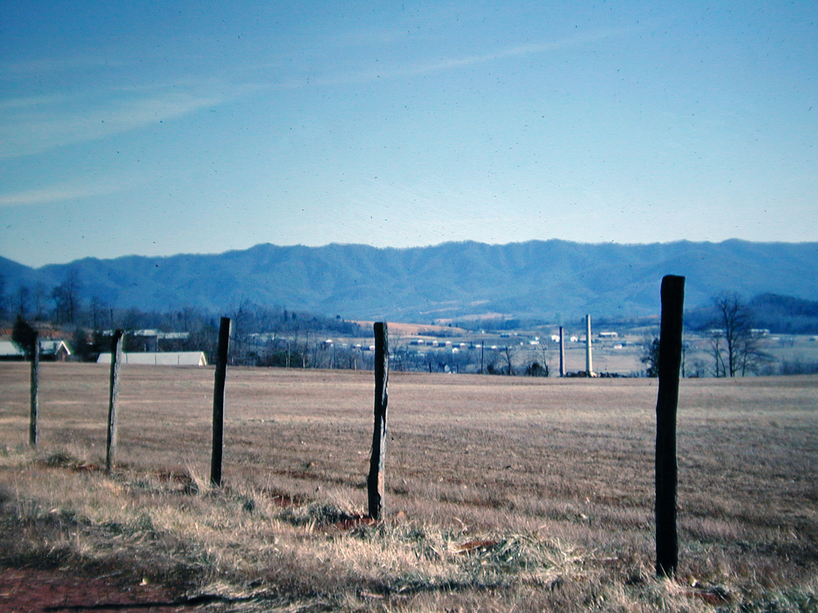
View at Newport, Tennessee, 1968

Cocke County, TN Courthouse - Newport, TN

Rural Barn of Tennessee

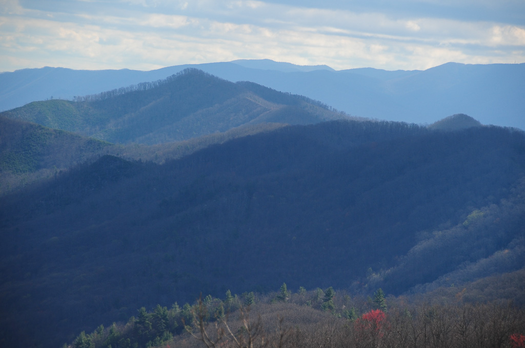
Houston Valley

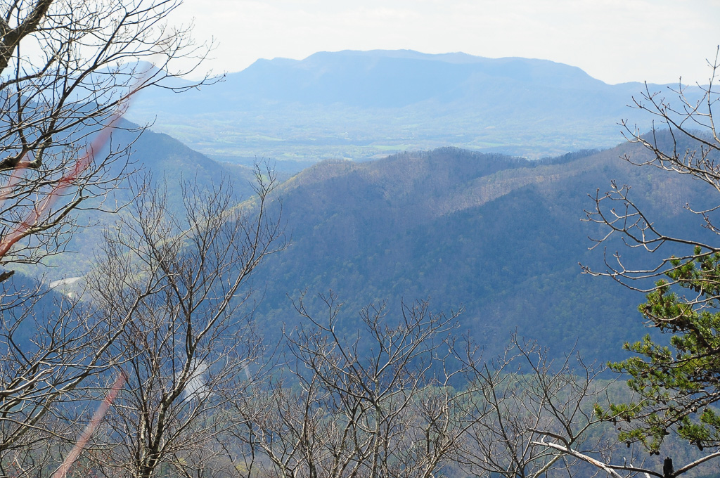
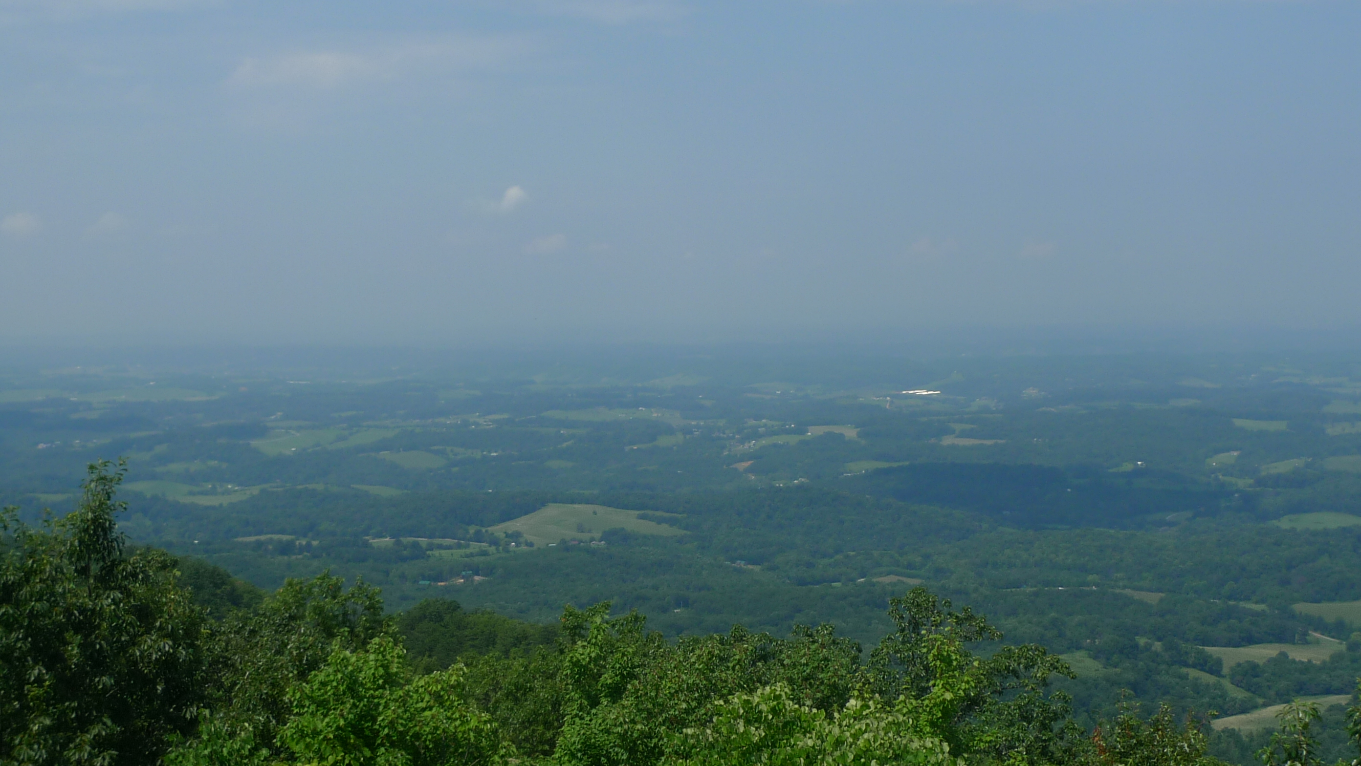
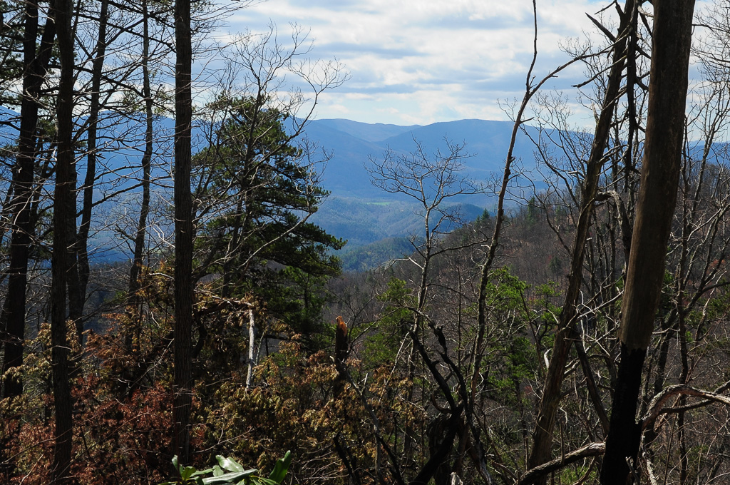
View from Meadow Creek Firetower

View from Meadow Creek Firetower
View from Meadow Creek Firetower

Family Inn Sign Newport, TN 1
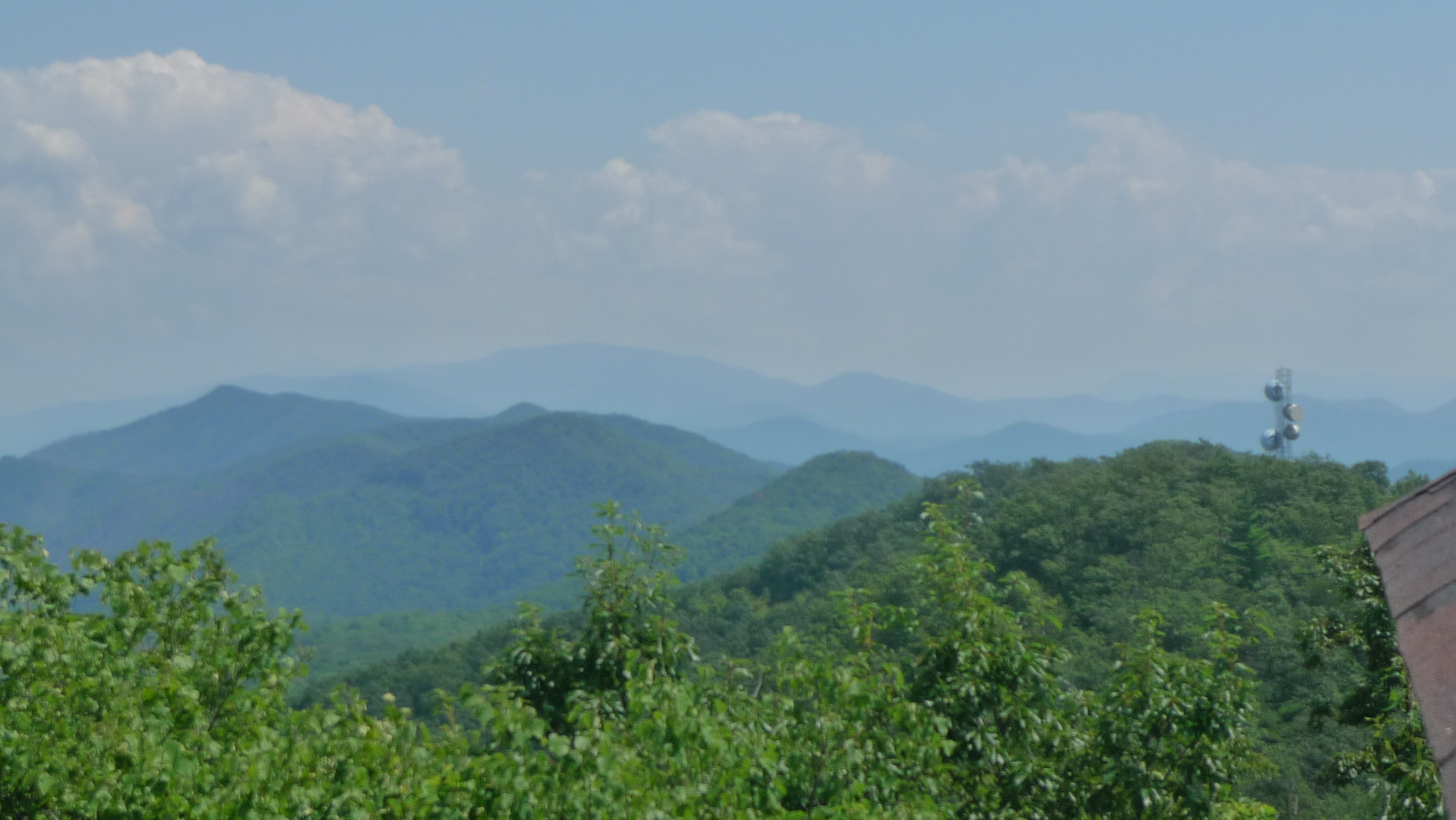
View of W4T/SU-053 - English Mtn
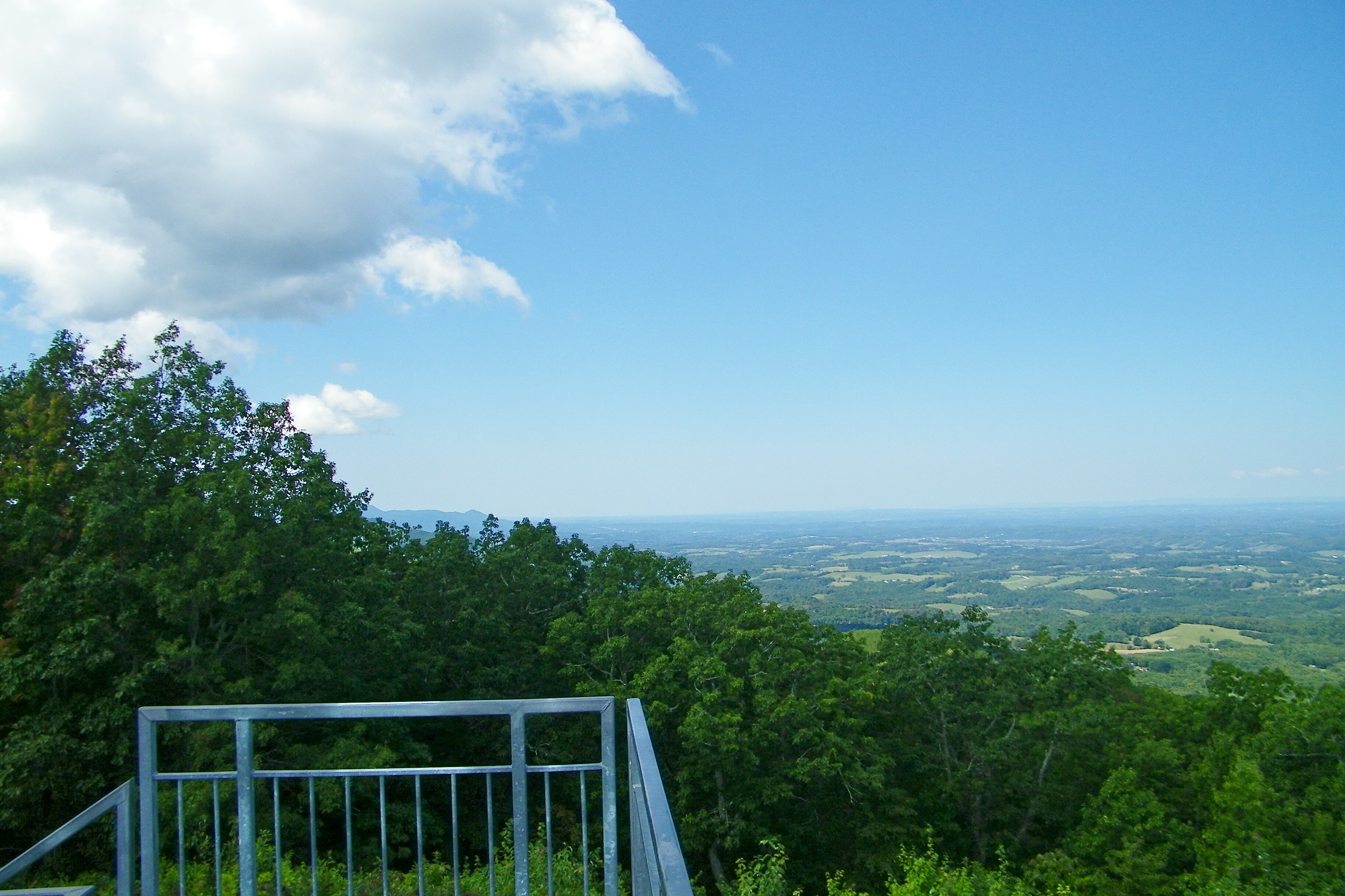
View from Meadow Creek Lookout
View to North from Meadow Creek Lookout

View from Meadow Creek Firetower

View from Meadow Creek Firetower

View from Meadow Creek Firetower

Rollin' Rollin' Rollin' my view from the backseat

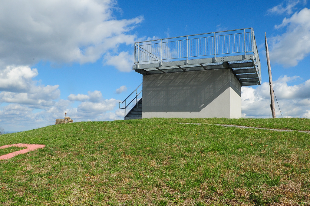
Meadow Creek Lookout Tower
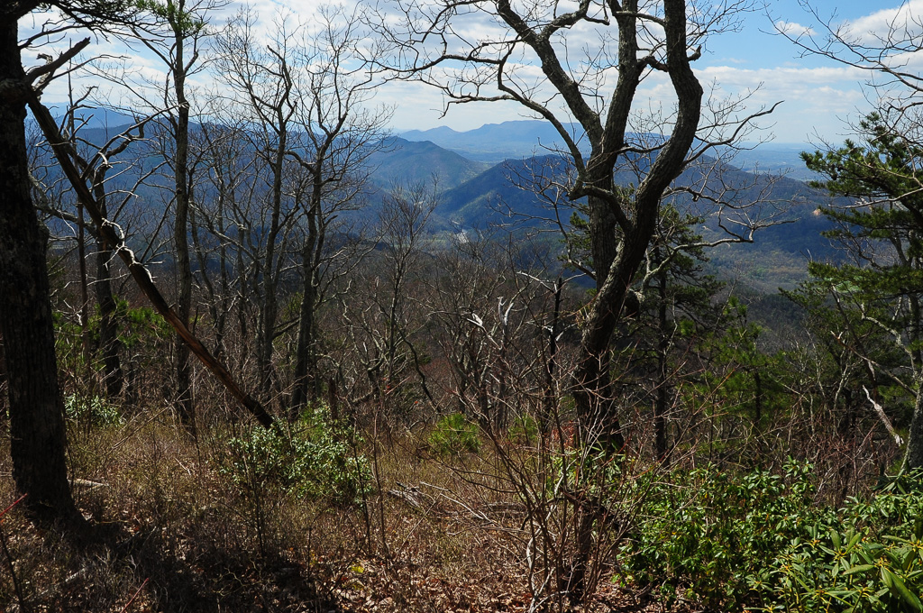
W4T/SU-073 - Cliffy Benchmark View
Meadow Creek Lookout Tower

Meadow Creek Lookout Tower
Meadow Creek Lookout Tower

Allen Branch Pond, Cherokee National Forest, Tennessee

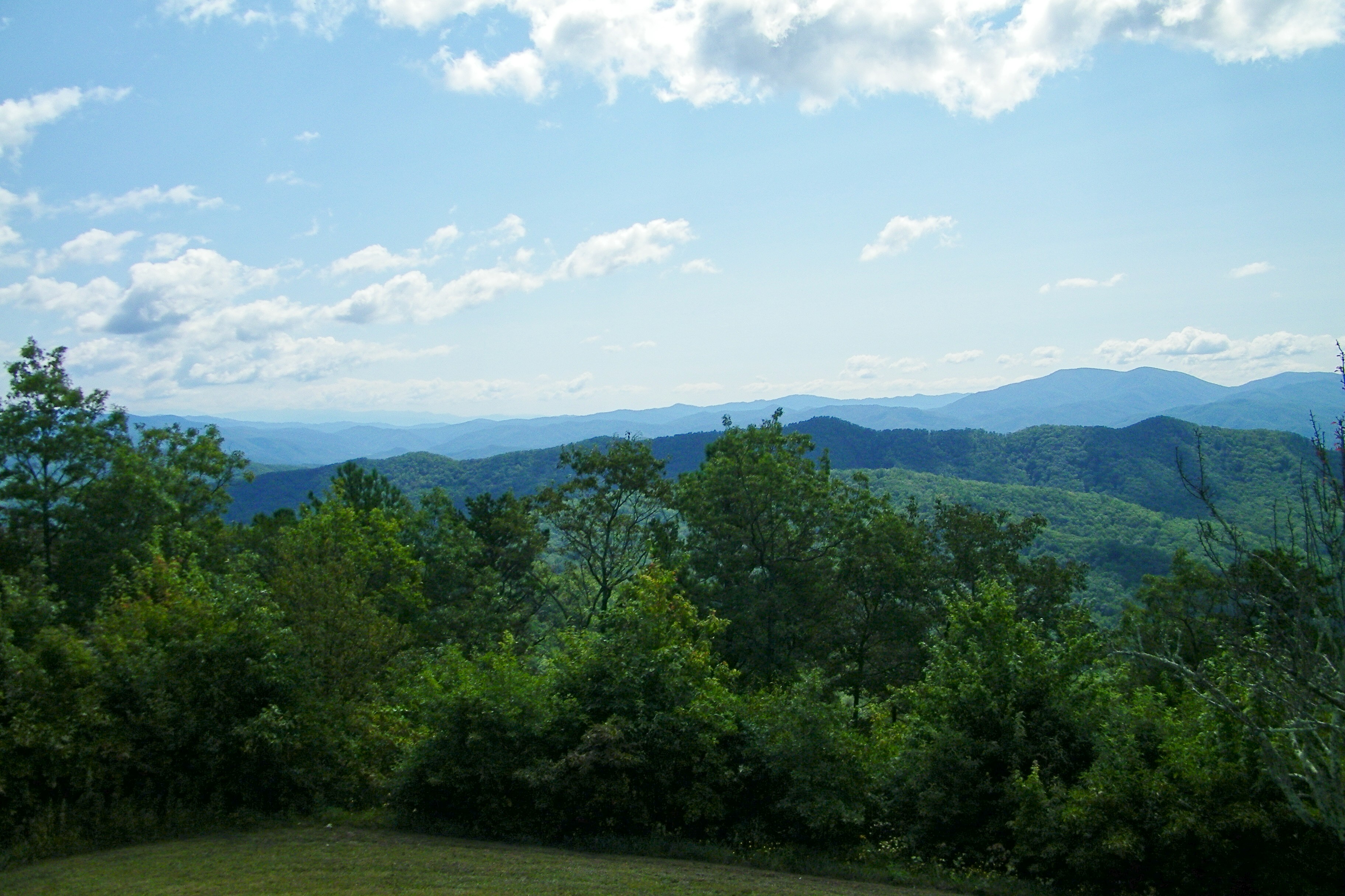
Neddy Mountain, Cherokee National Forest, Tennessee
View of W4T/SU-073 - Cliffy Benchmark
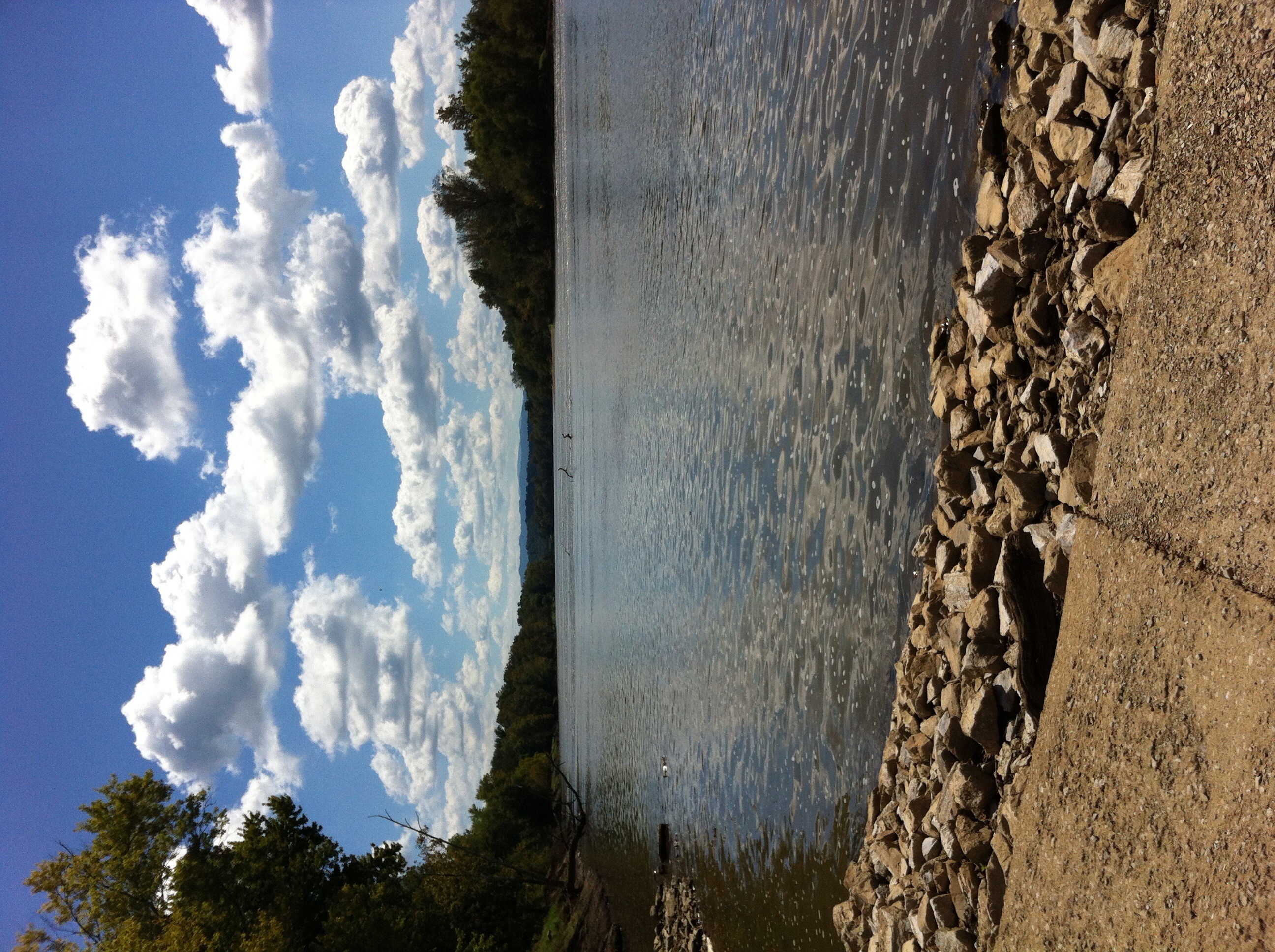
French Broad River

View of Cliffy Benchmark Ridgeline from Meadow Creek Firetower

W4T/SU-073 - Cliffy Benchmark View
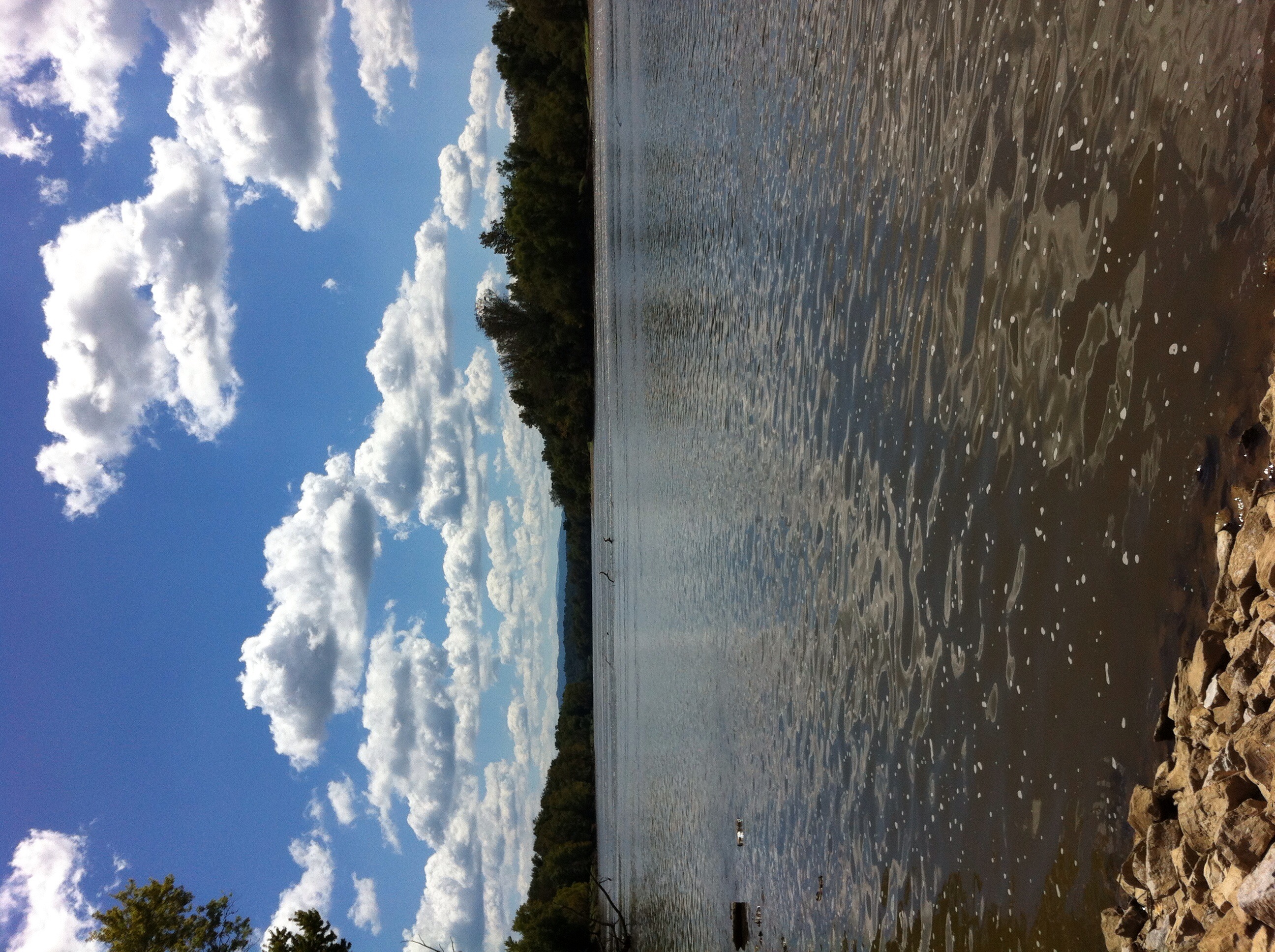
French Broad River
Trail View from W4T/SU-073 - Cliffy Benchmark
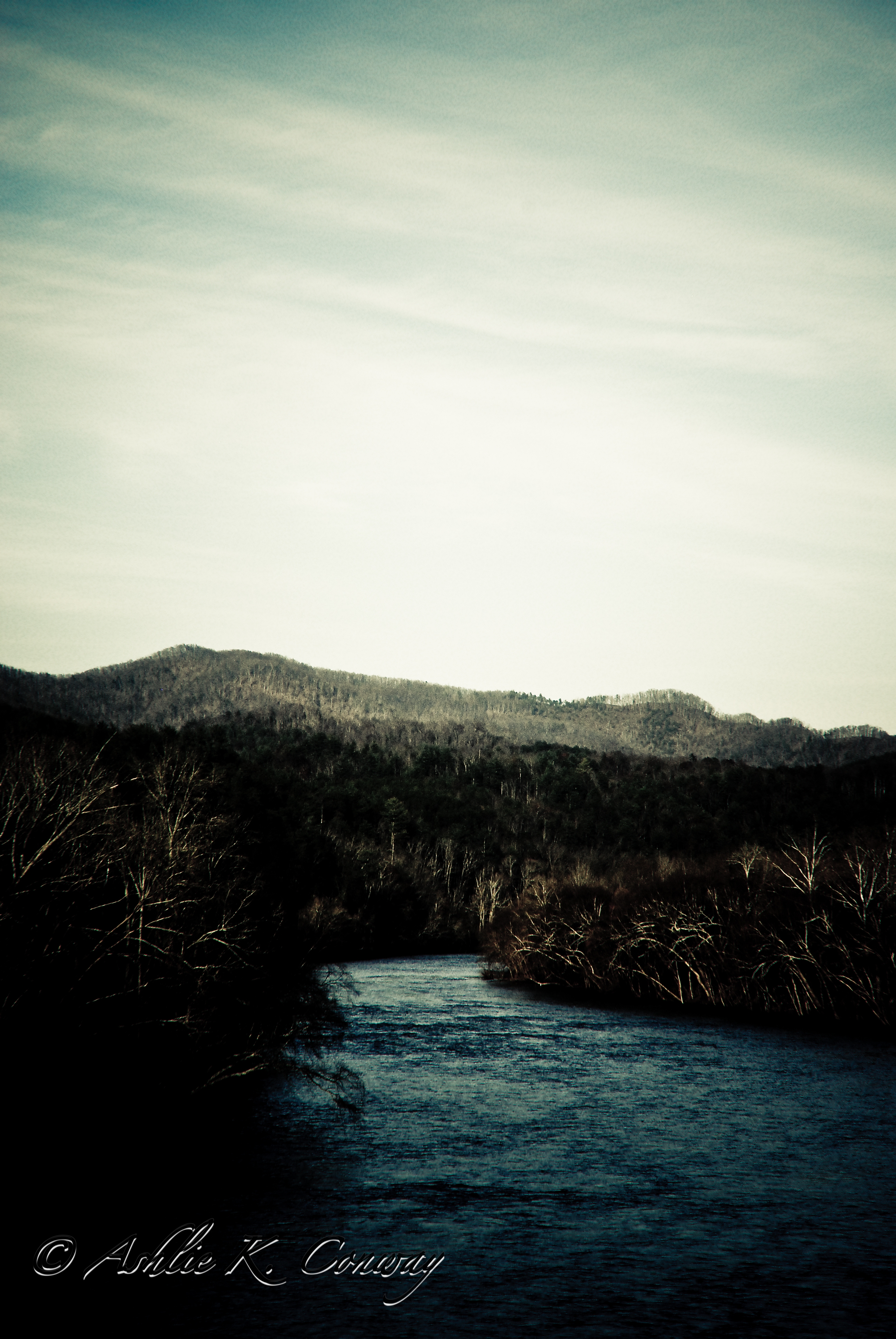
French Broad River
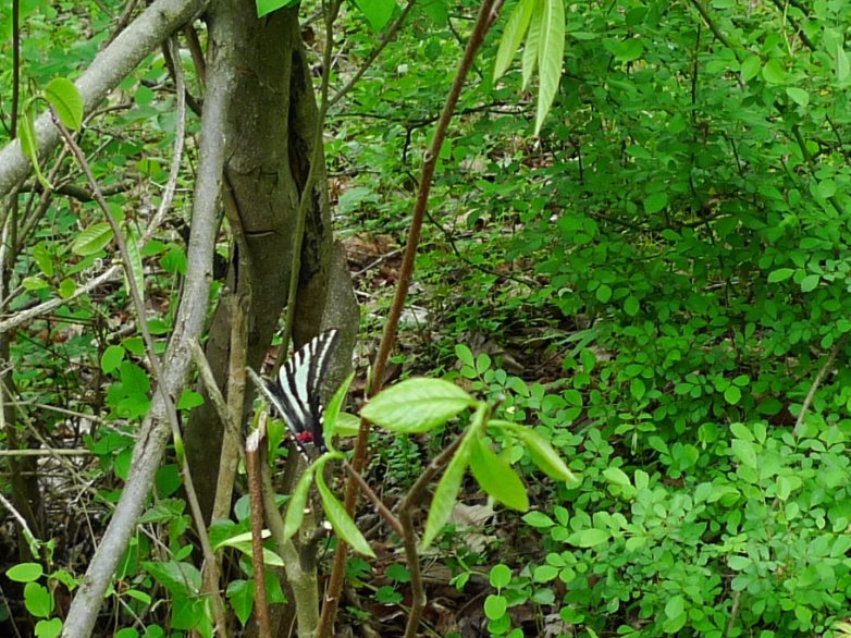
Tiger Moth
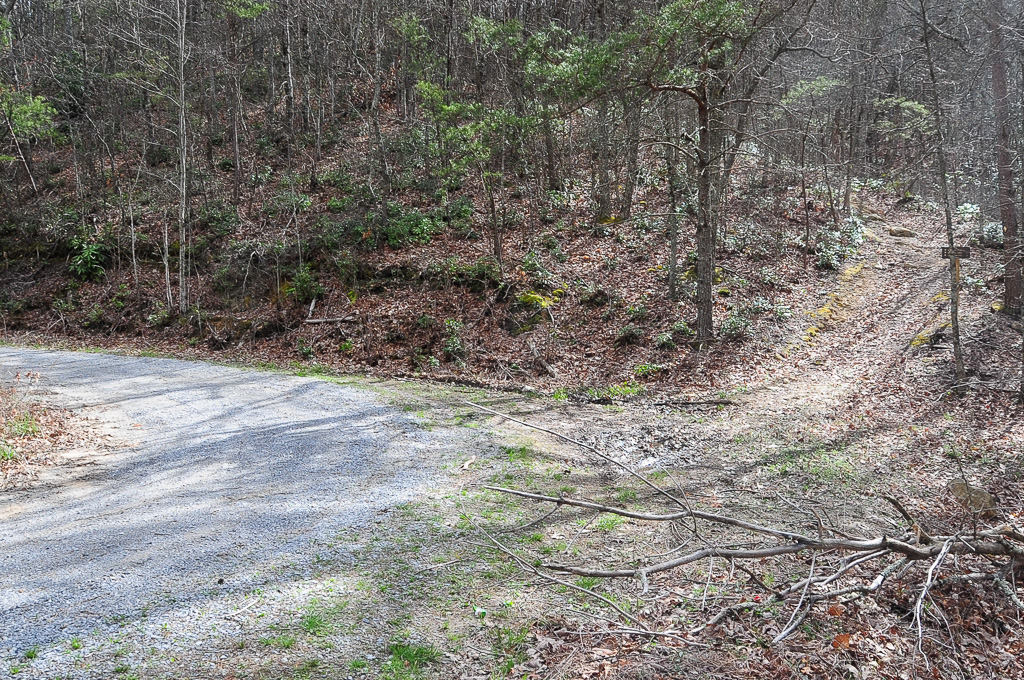
Trail Intersection heading to W4T/SU-073 - Cliffy Benchmark

Trail to W4T/SU-073 - Cliffy Benchmark
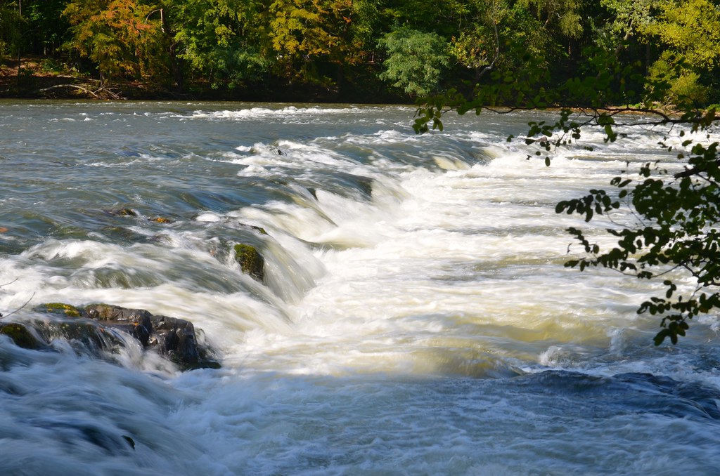
French Broad River, near Hot Springs, NC
Topographic Map of Gopher Way, Tennessee, USA
Find elevation by address:

Places near Gopher Way, Tennessee, USA:
1470 Shenandoah Way
Shenandoah Way
2020 White Dove Way
Clear Creek Rd, Parrottsville, TN, USA
131 Trentham Hollow Rd
Parrottsville
2011 Old Parrottsville Hwy
2679 Old Parrottsville Hwy
2411 Allen Chapel Rd
2315 Allen Chapel Rd
944 Baysinger Rd
2435 Freshour Hollow Rd
671 Sunlight Rd
2814 Happy Hollow Rd
1047 Secluded River Cir
Neddy Mountain Road
598 St Tide Hollow Rd
5987 Hopi Trail
1271 Smoky Hollow Way
225 Kiowa Way
Recent Searches:
- Elevation of Corso Fratelli Cairoli, 35, Macerata MC, Italy
- Elevation of Tallevast Rd, Sarasota, FL, USA
- Elevation of 4th St E, Sonoma, CA, USA
- Elevation of Black Hollow Rd, Pennsdale, PA, USA
- Elevation of Oakland Ave, Williamsport, PA, USA
- Elevation of Pedrógão Grande, Portugal
- Elevation of Klee Dr, Martinsburg, WV, USA
- Elevation of Via Roma, Pieranica CR, Italy
- Elevation of Tavkvetili Mountain, Georgia
- Elevation of Hartfords Bluff Cir, Mt Pleasant, SC, USA