Elevation of Goodland, KS, USA
Location: United States > Kansas >
Longitude: -101.71017
Latitude: 39.350833
Elevation: 1122m / 3681feet
Barometric Pressure: 89KPa
Elevation Map:
Satellite Map:
Related Photos:

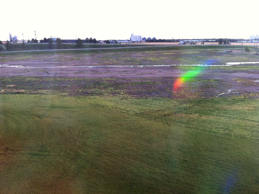
Falling Away
View from My Room
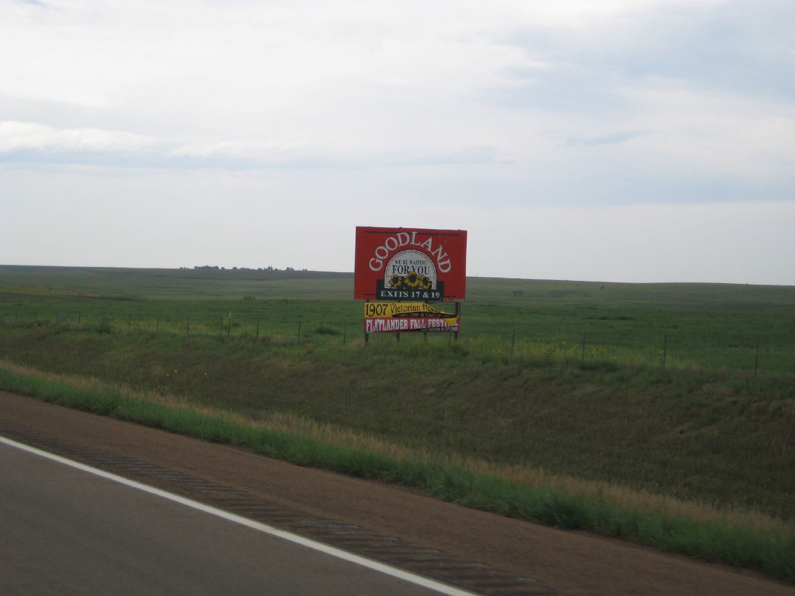
the start of kansas

The Red Chairs
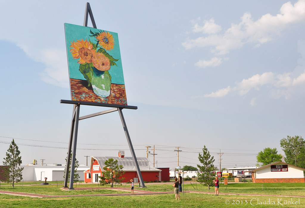
things are bigger in Kansas!
IMG_4305.jpg
Camera Roll-751

IMG_9714-HDR.jpg

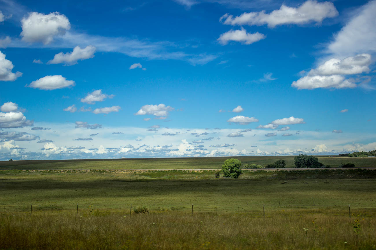
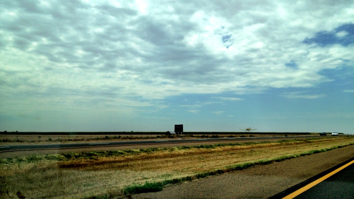
the plains
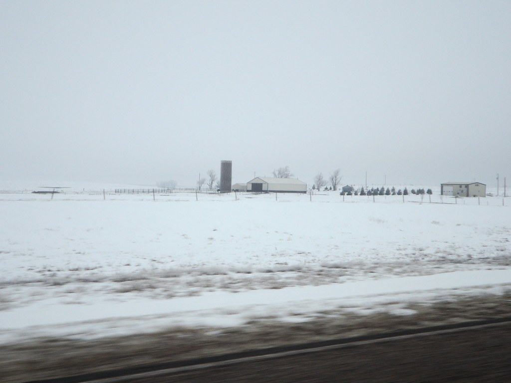
After the Snow

IMG_9681-HDR.jpg
IMG_0113.JPG
IMG_0112.JPG
IMG_9665.jpg
Topographic Map of Goodland, KS, USA
Find elevation by address:

Places near Goodland, KS, USA:
715 Center Ave
Brewster
West Hale
Wallace County
Sharon Springs
KS-27, Sharon Springs, KS, USA
Sharon Springs
Mount Sunflower
Cooper Avenue
Weskan
Martin Ave, Burlington, CO, USA
Burlington
Weskan
US-24, Burlington, CO, USA
Wichita County
Leoti
Stratton
Co Rd 30, Stratton, CO, USA
S 4th St, Leoti, KS, USA
Leoti
Recent Searches:
- Elevation of Corso Fratelli Cairoli, 35, Macerata MC, Italy
- Elevation of Tallevast Rd, Sarasota, FL, USA
- Elevation of 4th St E, Sonoma, CA, USA
- Elevation of Black Hollow Rd, Pennsdale, PA, USA
- Elevation of Oakland Ave, Williamsport, PA, USA
- Elevation of Pedrógão Grande, Portugal
- Elevation of Klee Dr, Martinsburg, WV, USA
- Elevation of Via Roma, Pieranica CR, Italy
- Elevation of Tavkvetili Mountain, Georgia
- Elevation of Hartfords Bluff Cir, Mt Pleasant, SC, USA