Elevation of Leoti, KS, USA
Location: United States > Kansas > Wichita County > Leoti >
Longitude: -101.3587713
Latitude: 38.479741
Elevation: 1008m / 3307feet
Barometric Pressure: 0KPa
Related Photos:
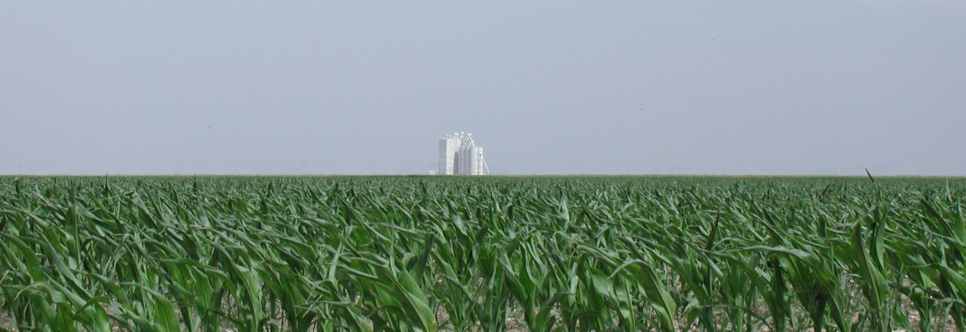
Bound for Colorado
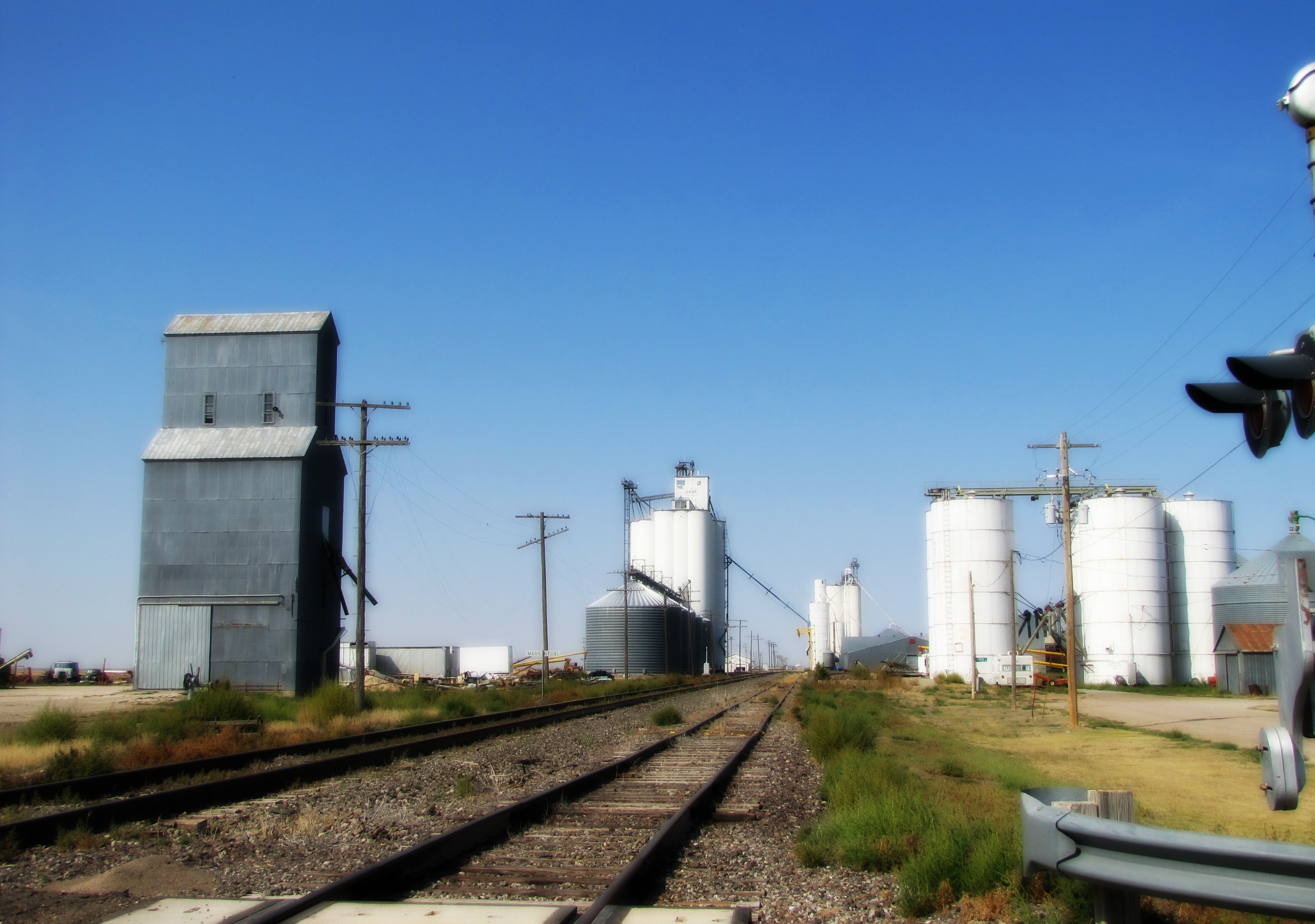
Grain Elevator
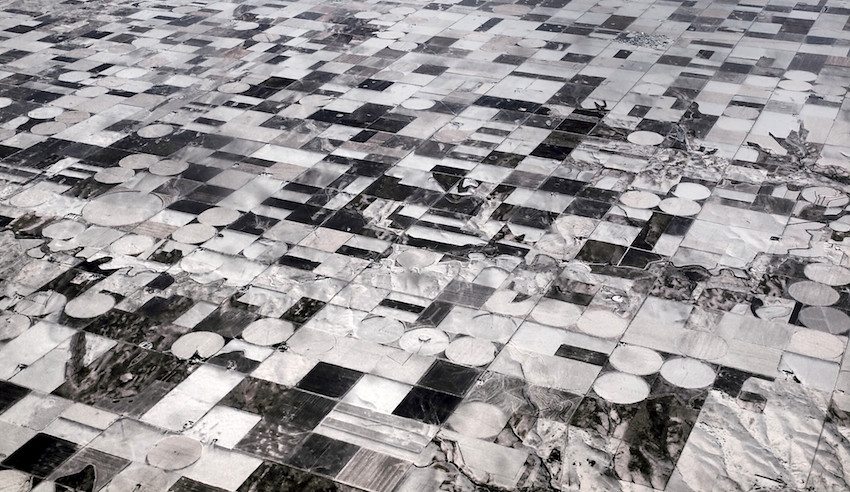
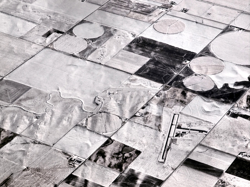
Are we still in Kansas?
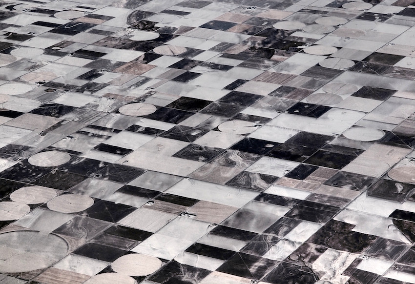
Are we still in Kansas?

Sunflower Kansas
Keep the runway clear!

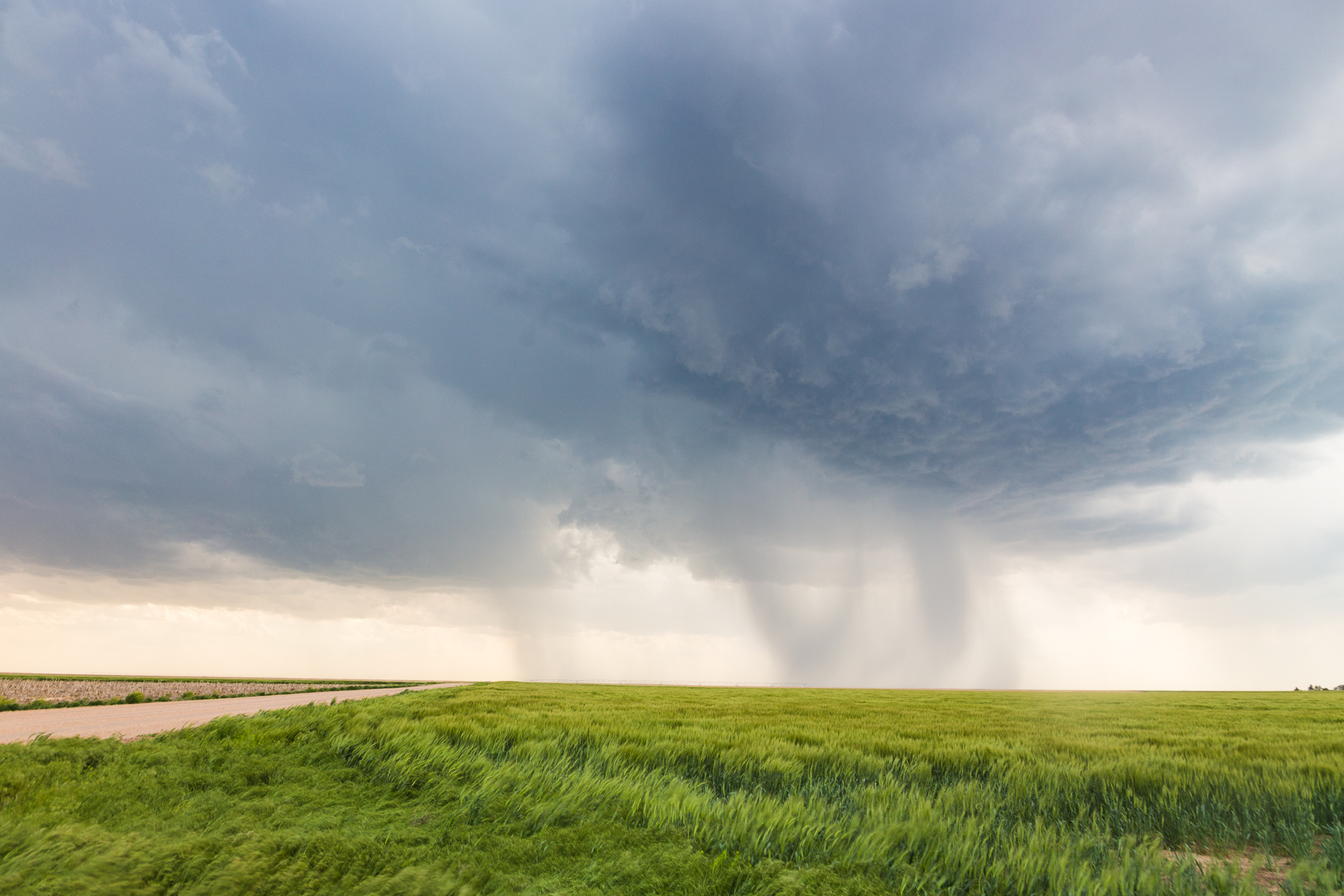
Leoti, KS Tornado #2 - 05/21/16

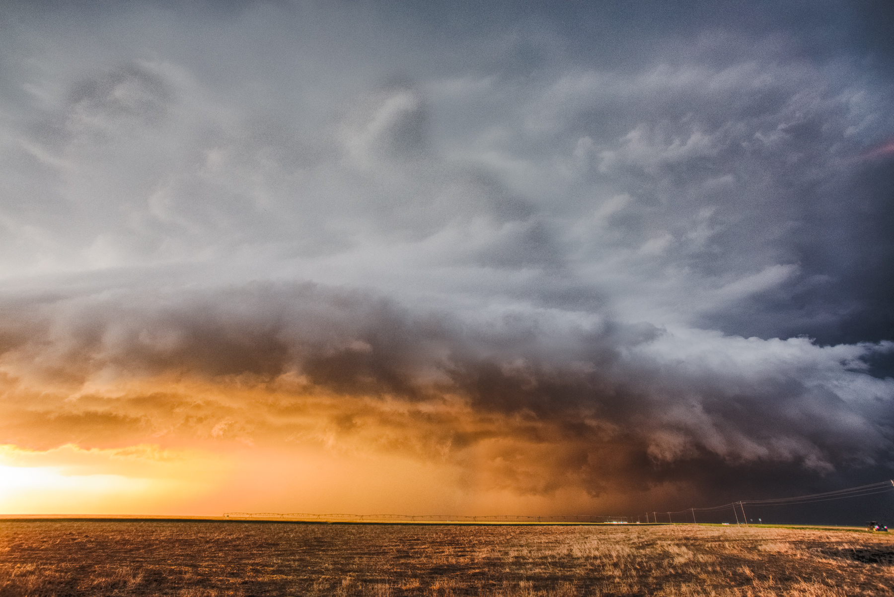
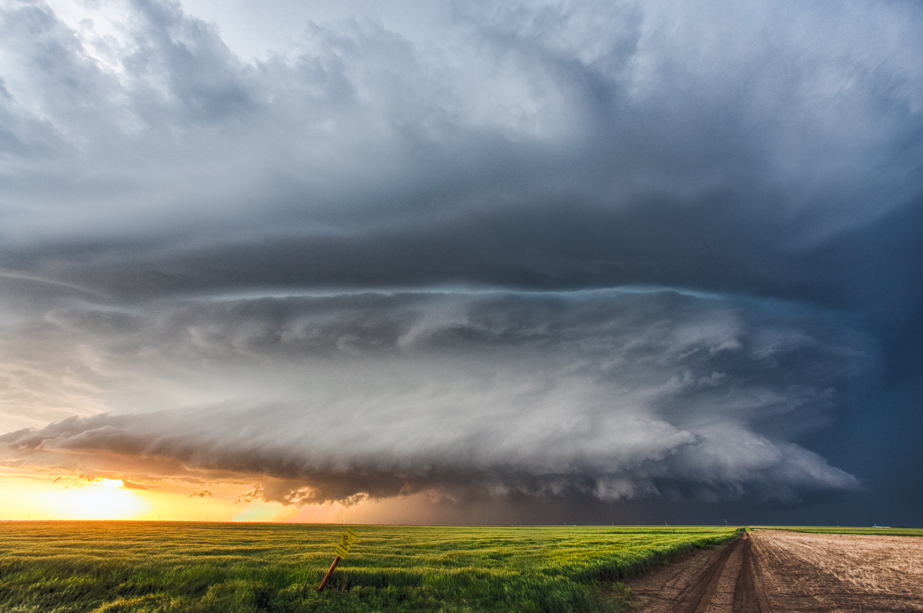
Leoti, KS Supercell - 05/21/16
IMG_3715_HDR.jpg
IMG_3707_HDR.jpg
IMG_3283.jpg
Topographic Map of Leoti, KS, USA
Find elevation by address:

Places in Leoti, KS, USA:
Places near Leoti, KS, USA:
S 4th St, Leoti, KS, USA
Wichita County
Leoti
Kearny County
Lakin
Sharon Springs
KS-27, Sharon Springs, KS, USA
Sharon Springs
Syracuse
Wallace County
Hamilton County
Weskan
Cooper Avenue
Weskan
College Ave, Sheridan Lake, CO, USA
Towner
Mount Sunflower
Holly
Brewster
West Hale
Recent Searches:
- Elevation map of Greenland, Greenland
- Elevation of Sullivan Hill, New York, New York, 10002, USA
- Elevation of Morehead Road, Withrow Downs, Charlotte, Mecklenburg County, North Carolina, 28262, USA
- Elevation of 2800, Morehead Road, Withrow Downs, Charlotte, Mecklenburg County, North Carolina, 28262, USA
- Elevation of Yangbi Yi Autonomous County, Yunnan, China
- Elevation of Pingpo, Yangbi Yi Autonomous County, Yunnan, China
- Elevation of Mount Malong, Pingpo, Yangbi Yi Autonomous County, Yunnan, China
- Elevation map of Yongping County, Yunnan, China
- Elevation of North 8th Street, Palatka, Putnam County, Florida, 32177, USA
- Elevation of 107, Big Apple Road, East Palatka, Putnam County, Florida, 32131, USA
- Elevation of Jiezi, Chongzhou City, Sichuan, China
- Elevation of Chongzhou City, Sichuan, China
- Elevation of Huaiyuan, Chongzhou City, Sichuan, China
- Elevation of Qingxia, Chengdu, Sichuan, China
- Elevation of Corso Fratelli Cairoli, 35, Macerata MC, Italy
- Elevation of Tallevast Rd, Sarasota, FL, USA
- Elevation of 4th St E, Sonoma, CA, USA
- Elevation of Black Hollow Rd, Pennsdale, PA, USA
- Elevation of Oakland Ave, Williamsport, PA, USA
- Elevation of Pedrógão Grande, Portugal