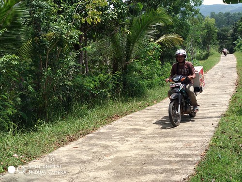
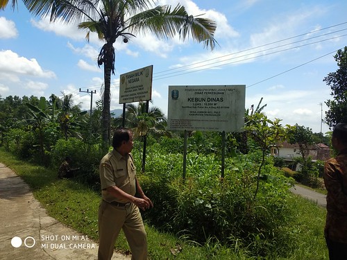
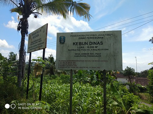
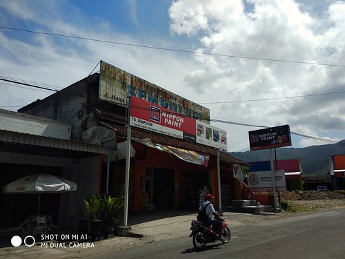
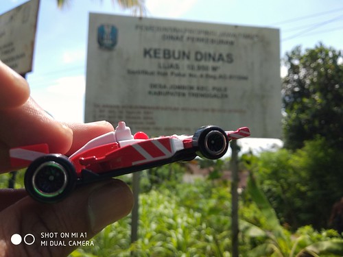
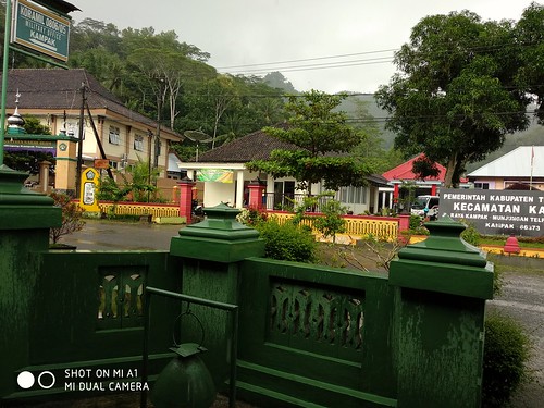
Elevation of Gondang, Siki, Dongko, Kabupaten Trenggalek, Jawa Timur, Indonesia
Location: Indonesia > East Java >
Longitude: 111.533415
Latitude: -8.175578
Elevation: 765m / 2510feet
Barometric Pressure: 92KPa
Related Photos:
Topographic Map of Gondang, Siki, Dongko, Kabupaten Trenggalek, Jawa Timur, Indonesia
Find elevation by address:

Places near Gondang, Siki, Dongko, Kabupaten Trenggalek, Jawa Timur, Indonesia:
Trenggalek Regency
Gondang
Tugu
Pulung
Ponorogo Regency
Campur Darat
Kedai Kosim
Tulungagung Regency
Kenayan
Banaran
Gunung Ngliman
Pacitan
Srengat
Madiun
Madiun City
Madiun
Kediri
Kediri City Sub-district
Kota Kediri
Ngadirejo
Recent Searches:
- Elevation of Corso Fratelli Cairoli, 35, Macerata MC, Italy
- Elevation of Tallevast Rd, Sarasota, FL, USA
- Elevation of 4th St E, Sonoma, CA, USA
- Elevation of Black Hollow Rd, Pennsdale, PA, USA
- Elevation of Oakland Ave, Williamsport, PA, USA
- Elevation of Pedrógão Grande, Portugal
- Elevation of Klee Dr, Martinsburg, WV, USA
- Elevation of Via Roma, Pieranica CR, Italy
- Elevation of Tavkvetili Mountain, Georgia
- Elevation of Hartfords Bluff Cir, Mt Pleasant, SC, USA


