Elevation of Ngadirejo, Kediri City Sub-District, Kediri, East Java, Indonesia
Location: Indonesia > East Java > Kota Kediri > Kediri City Sub-district >
Longitude: 112.026026
Latitude: -7.8112334
Elevation: 73m / 240feet
Barometric Pressure: 100KPa
Elevation Map:
Satellite Map:
Related Photos:

#2014 #indonesia #java #kediri #morning #view #mountains
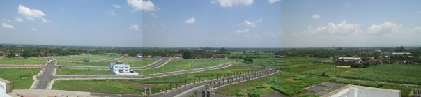
view from the top of SLG monument #1
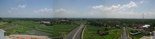
view from the top of SLG monument #2
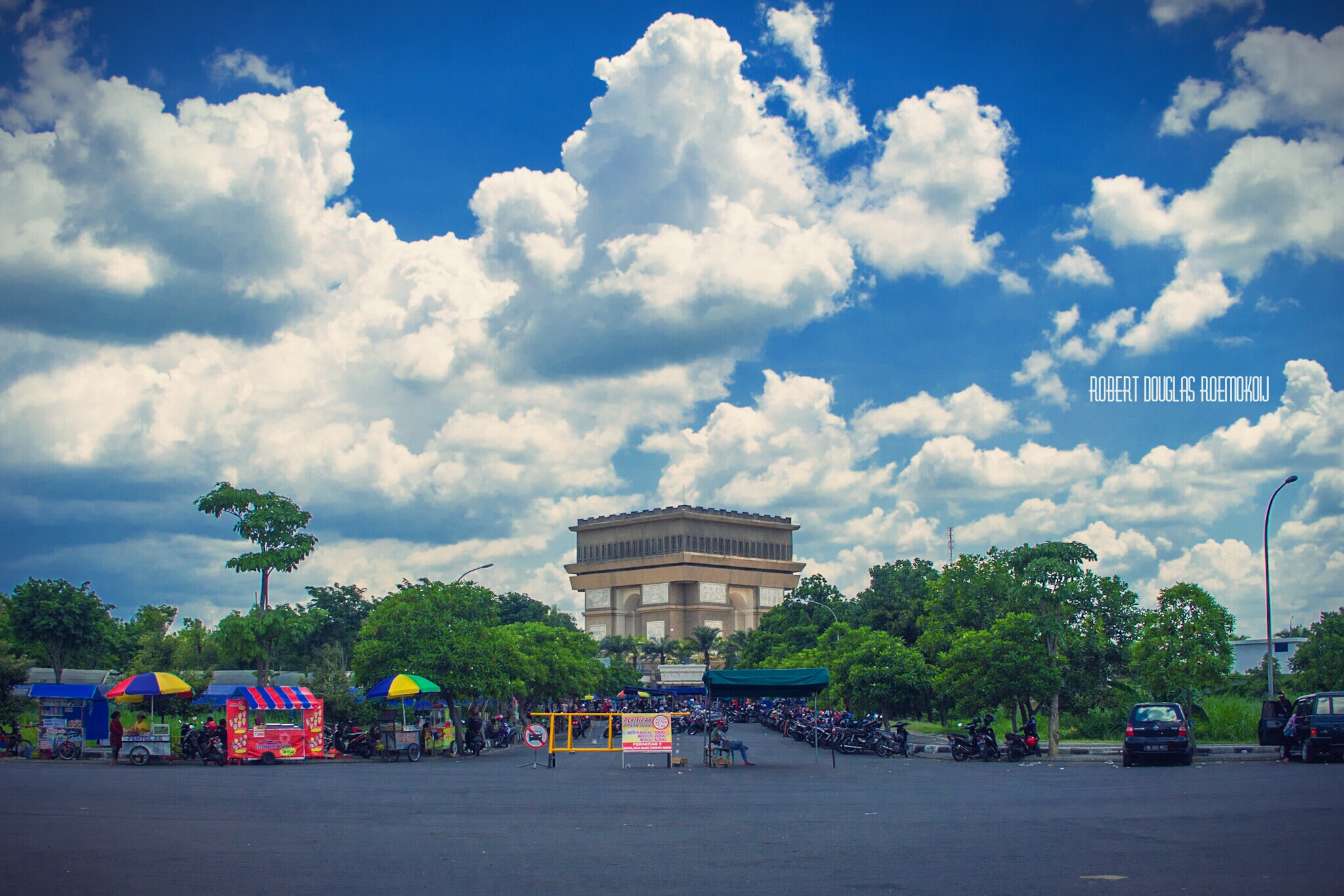
Simpang Lima Gumul
???????? ... ????

Panas2 adus kringet, nggosongne awak tpi senenge luar biasa ngetrip bareng adekk2 & pacar .. ????????????

2014-12-25 17.31.04

2014-12-26 13.49.11

Amazing !

Sweet wings motif #igbest_macros #macroclique #macro_turkey #macro_highlight #macro_champ

2014-12-26 13.49.29
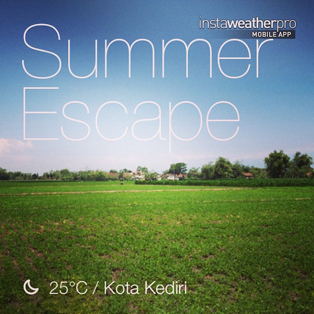
#weather #instaweather #instaweatherpro #sky #outdoors #nature #world #kotakediri #indonesia #day #id

2014-12-25 17.31.52

2012-12-24 07.59.28

2012-12-24 08.00.35

2012-12-24 08.00.15

White Buffalo

Gua Maria Puhsarang

Gunung Wilis

Penambang Pasir
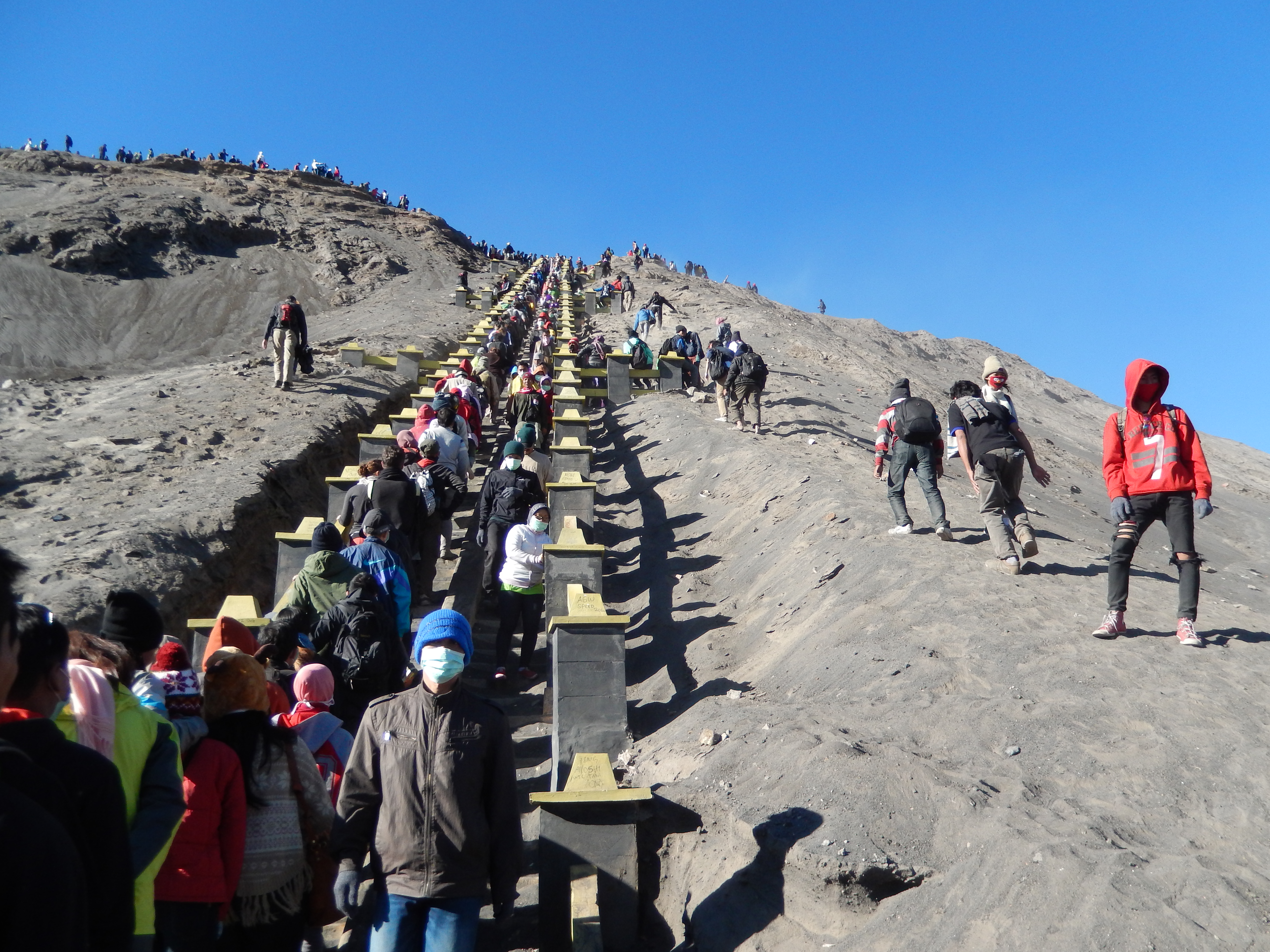
Travelers up the stairs to the peak of Bromo

2012-12-24 08.09.32

PC281500.jpg

2012-12-24 07.44.51
Topographic Map of Ngadirejo, Kediri City Sub-District, Kediri, East Java, Indonesia
Find elevation by address:

Places near Ngadirejo, Kediri City Sub-District, Kediri, East Java, Indonesia:
Kota Kediri
Simpang Lima Gumul Monument
Kediri
Kediri City Sub-district
Pare, Kediri
Gunung Ngliman
Kenayan
Srengat
Kedai Kosim
Tulungagung Regency
Kelud
Blitar
Banaran
Blitar City
Jombang Sub-district
Djombang Apotik
Kepanjen
East Java
Jombang Regency
Blitar
Recent Searches:
- Elevation of Corso Fratelli Cairoli, 35, Macerata MC, Italy
- Elevation of Tallevast Rd, Sarasota, FL, USA
- Elevation of 4th St E, Sonoma, CA, USA
- Elevation of Black Hollow Rd, Pennsdale, PA, USA
- Elevation of Oakland Ave, Williamsport, PA, USA
- Elevation of Pedrógão Grande, Portugal
- Elevation of Klee Dr, Martinsburg, WV, USA
- Elevation of Via Roma, Pieranica CR, Italy
- Elevation of Tavkvetili Mountain, Georgia
- Elevation of Hartfords Bluff Cir, Mt Pleasant, SC, USA