Elevation of Gleichen, AB T0J 1N0, Canada
Location: Canada > Alberta > Division No. 5 > Wheatland County >
Longitude: -113.05156
Latitude: 50.866153
Elevation: 901m / 2956feet
Barometric Pressure: 91KPa
Elevation Map:
Satellite Map:
Related Photos:
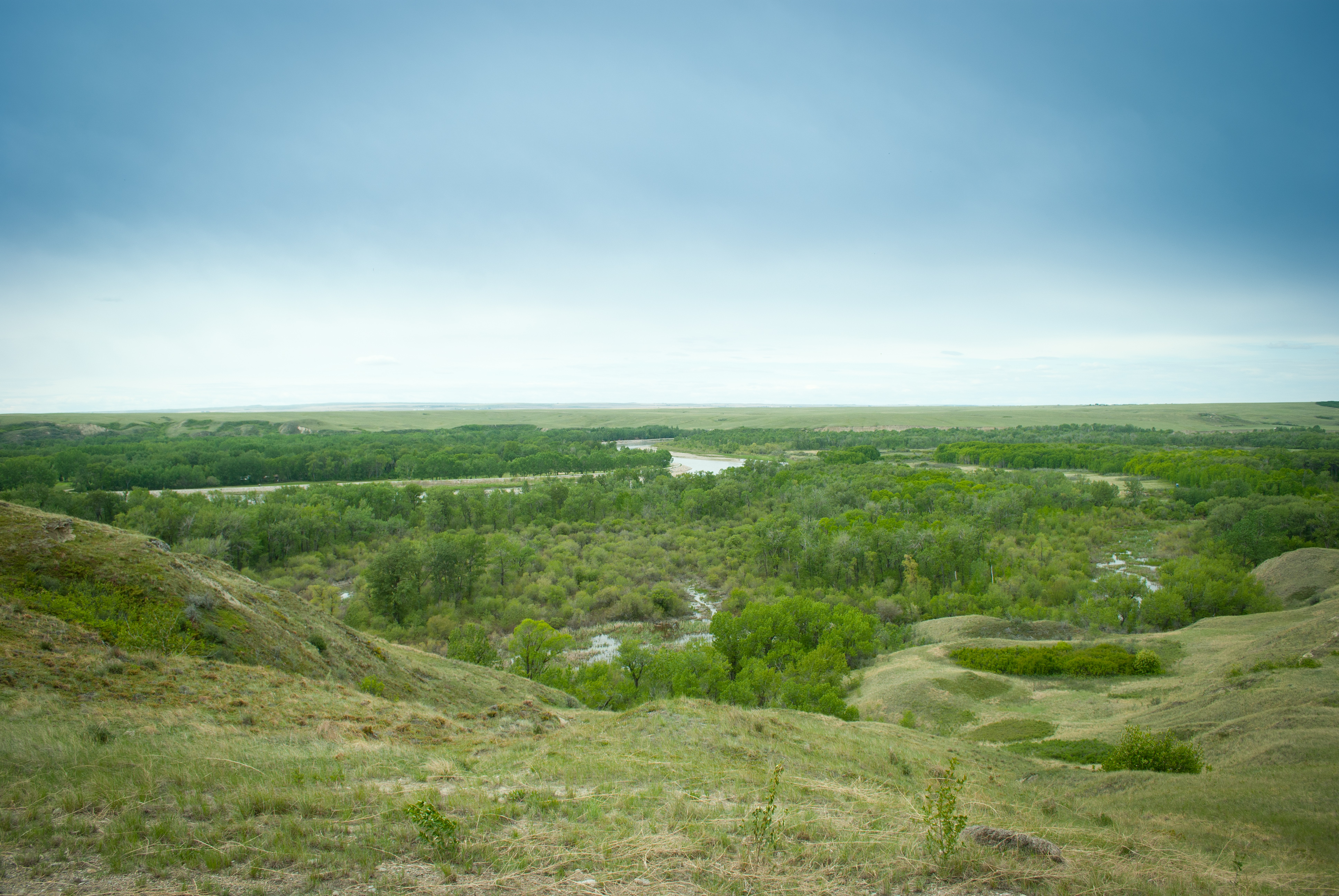
The view
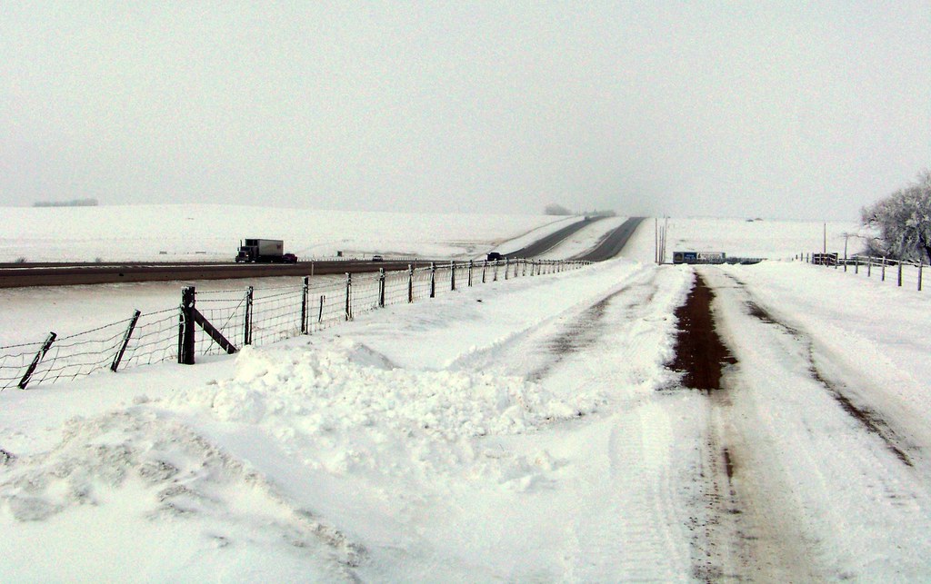
AB11c09 Trans-Canada Hwy Alberta, March 2011

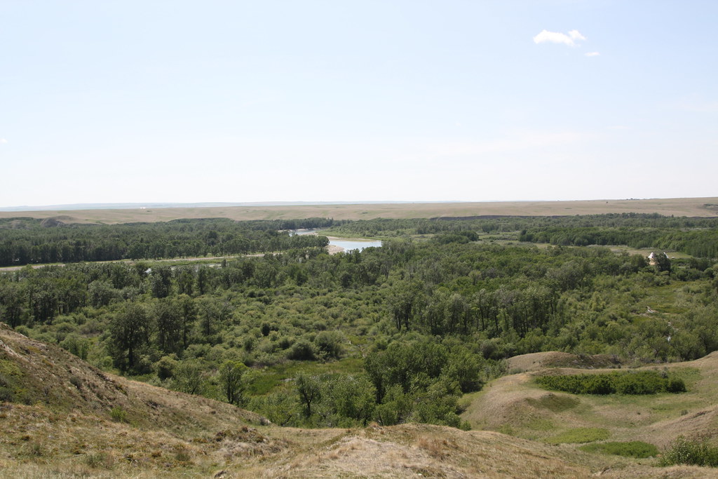
Canadian Roadtrip (46)
Blackfoot Crossing Historical Park, Alberta.

Canadian Roadtrip (47)

The old homestead

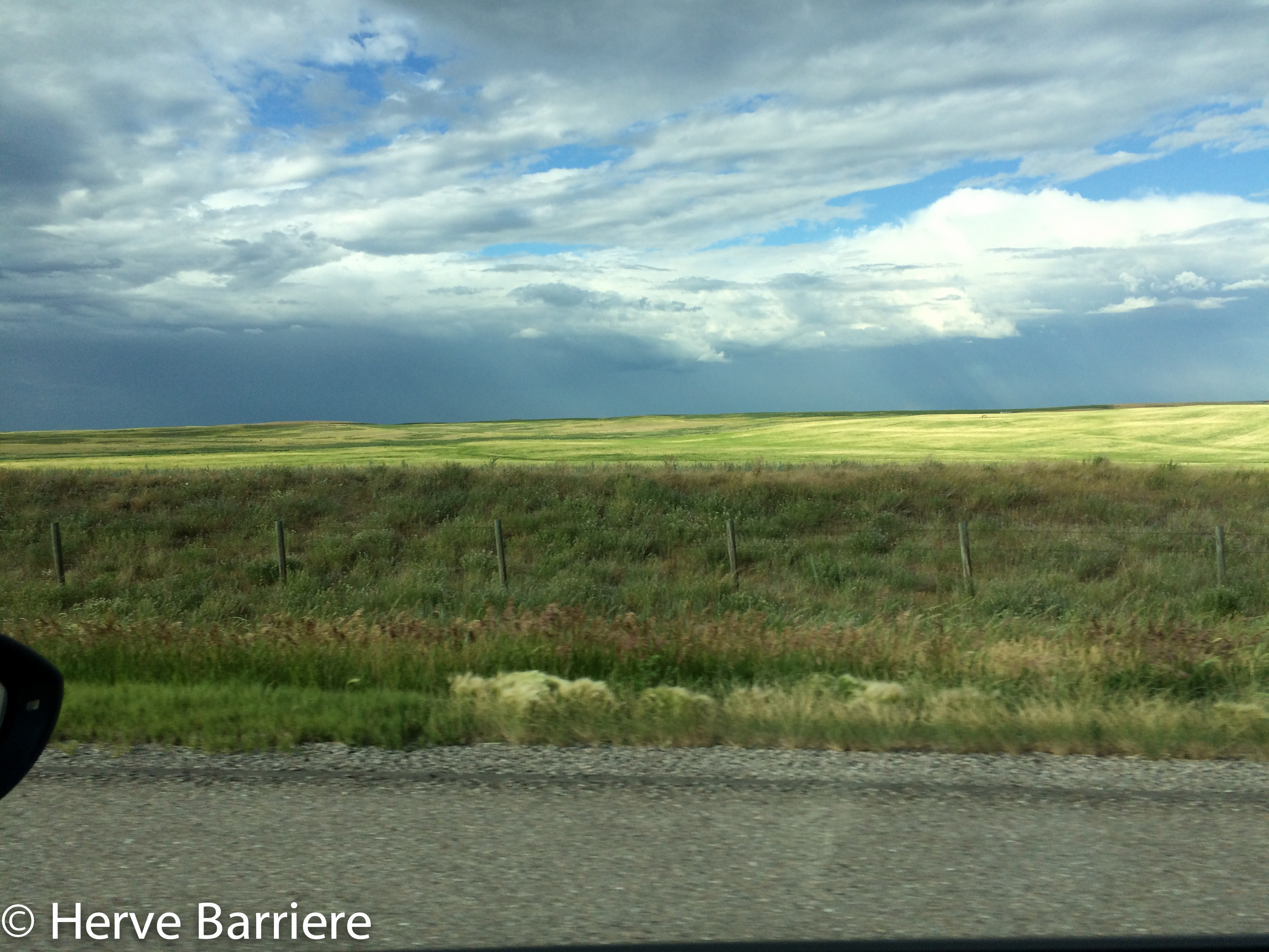
Canola fields in AB. Big change from mountains ;-) #greatwesternadventure2014
IMG_0306.jpg

Abandoned Homestead

IMG_0308.jpg

IMG_0307.jpg
Topographic Map of Gleichen, AB T0J 1N0, Canada
Find elevation by address:

Places near Gleichen, AB T0J 1N0, Canada:
Wheatland County
200 Ranch Market
Strathmore
Deadhorse Lake
Cheadle
Railway Ave, Cheadle, AB T0J 1X0, Canada
Lyalta
79 Muirfield Cl, Lyalta, AB T0J 1Y1, Canada
Carbon
Caradoc Ave, Carbon, AB T0M 0L0, Canada
214 Boulder Creek Dr
Langdon
1010 Twin Hill Close
903 11 St Se
Drumheller
Riverside Dr E, Drumheller, AB T0J 0Y4, Canada
Centre St, Drumheller, AB T0J 0Y6, Canada
Inverlake Road
Irricana
St E, Aldersyde, AB T0L 0A0, Canada
Recent Searches:
- Elevation of Corso Fratelli Cairoli, 35, Macerata MC, Italy
- Elevation of Tallevast Rd, Sarasota, FL, USA
- Elevation of 4th St E, Sonoma, CA, USA
- Elevation of Black Hollow Rd, Pennsdale, PA, USA
- Elevation of Oakland Ave, Williamsport, PA, USA
- Elevation of Pedrógão Grande, Portugal
- Elevation of Klee Dr, Martinsburg, WV, USA
- Elevation of Via Roma, Pieranica CR, Italy
- Elevation of Tavkvetili Mountain, Georgia
- Elevation of Hartfords Bluff Cir, Mt Pleasant, SC, USA