Elevation of Cheadle, AB T0J, Canada

Location: Canada > Alberta > Division No. 5 > Wheatland County >

Longitude: -113.54175

Latitude: 51.014622

Elevation: 990m / 3248feet

Barometric Pressure: 90KPa

Elevation Map:

elevation map of Cheadle, AB T0J, Canada

Satellite Map:

Satellite map of Cheadle, AB T0J, Canada

Related Photos:

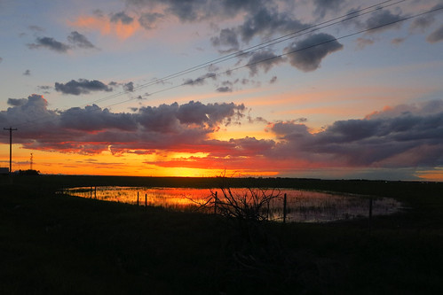
sunset sky water 2014 langdon
Country Slew Sunset ip_1128
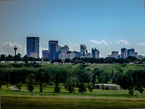
white mountain canada color colour building calgary truck grey highway ab alberta vehicle rockymountains prairie transcanadahighway 2010 rockyview canadagood thisdecade
AB10f07 Highway 1 view of Calgary, AB 2010
calgary skyline office view places
Calgary, as seen from my office
grandma papa jaden
Looking at photos
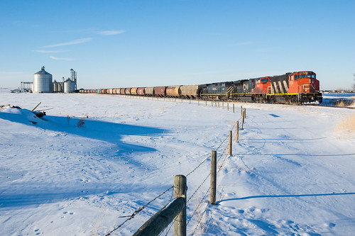
railroad winter snow canada cn train louis hiver elevator grain railway canadian national drumheller alberta neige chemin fer canadien subdivision dreyfus emd gmd 4778 widecab gp382w lyalta
CN 566 @ Lyalta, AB
square squareformat iphoneography instagramapp xproii uploaded:by=instagram foursquare:venue=4ea48062be7ba4918f1fc3f8
We are the only ones here, but they don't care one bit!
Prairie Lands
square squareformat iphoneography instagramapp xproii uploaded:by=instagram
Nature walk
sunset sky storm rain clouds barn rural landscape alberta fields kimodus kimodusphoto yycflood abflood
The Catalyst
boeing westjet 737 737800 cgjws wja
On Descent
sunset sky storm rain clouds barn rural landscape alberta fields kimodus kimodusphoto yycflood abflood
Shelter from the storm
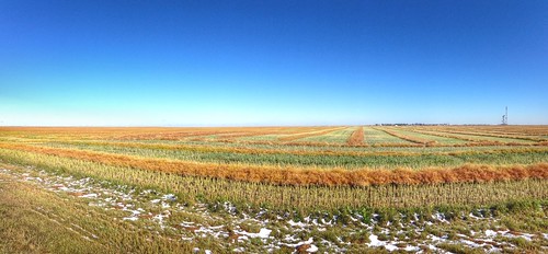
water grass canon fence farm country fields canola rebelt1i
Back Country
square squareformat iphoneography instagramapp xproii uploaded:by=instagram
Matute wall. Part 1 #ab #canada #prairies
wood trees sky house canada clouds landscape cam alberta kimodus kimodusphoto
Above Range Roads
square lofi squareformat iphoneography instagramapp uploaded:by=instagram foursquare:venue=4e1dcc2a45ddc696bb3d432e
Greetings from Alberta
landscapealbertaprarieirragationwater
Alberta Wasteland
camping lake canada macro clouds square outdoors roadtrip alberta squareformat prairies iphoneography instagramapp uploaded:by=instagram
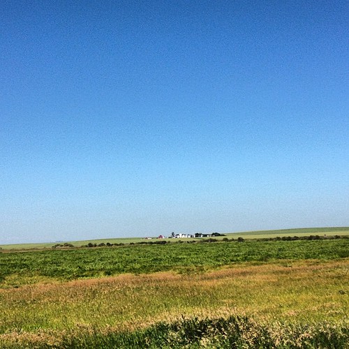
A farm. Prairies. AB Canada
panorama weather highway strathmore stormcloud
Storm Cloud
winter sunset cold nature landscape frost 10x10 10x10t06
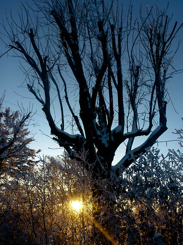
Old tree on the Penner Homestead
geocaching inset
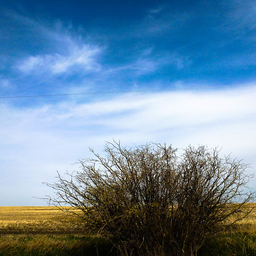
Lonley Alberta Bush
sunset shadow sky storm rain clouds rural landscape alberta fields silos kimodus kimodusphoto yycflood abflood
Silos and Sunshine
landscape 10x10 inset 10x10t06
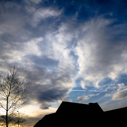
Jets at Sunset
Fahrt von Calgary nach Drumheller
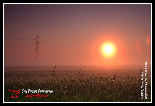
ca orange sun mist canada calgary misty fog sunrise ball landscape fire glow power farm foggy bank farmland alberta glowing powerline agriculture agribusiness photobyseanphillips
Fireball Sunrise
sylvanlakeab flickrandroidapp:filter=none
Canadian Jamboree 2013