Elevation of Glacier Lake Trailhead, US Hwy, Red Lodge, MT, USA
Longitude: -109.51416
Latitude: 45.0038889
Elevation: 2673m / 8770feet
Barometric Pressure: 73KPa
Elevation Map:
Satellite Map:
Related Photos:

Twin Lakes, Beartooth Pass

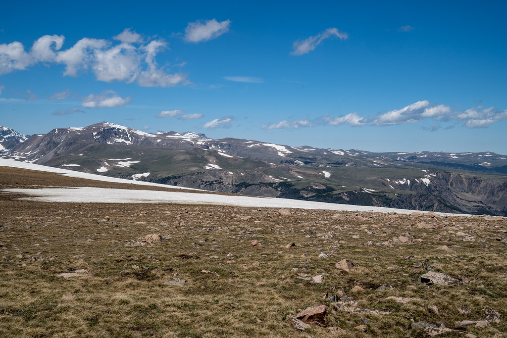
High Plateau

Moon Creek Glacial Valley and Cirque

View Of Twin Lakes Basin

Clarks Fork Valley Sunset

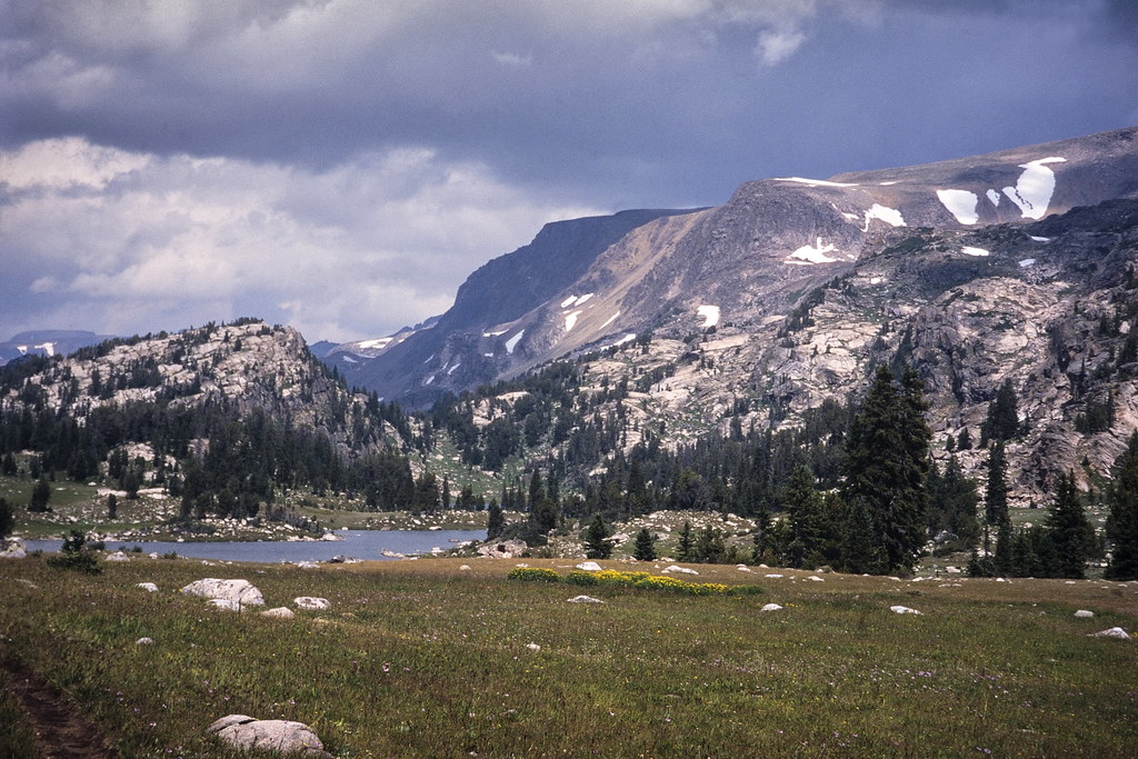
Twin Lakes

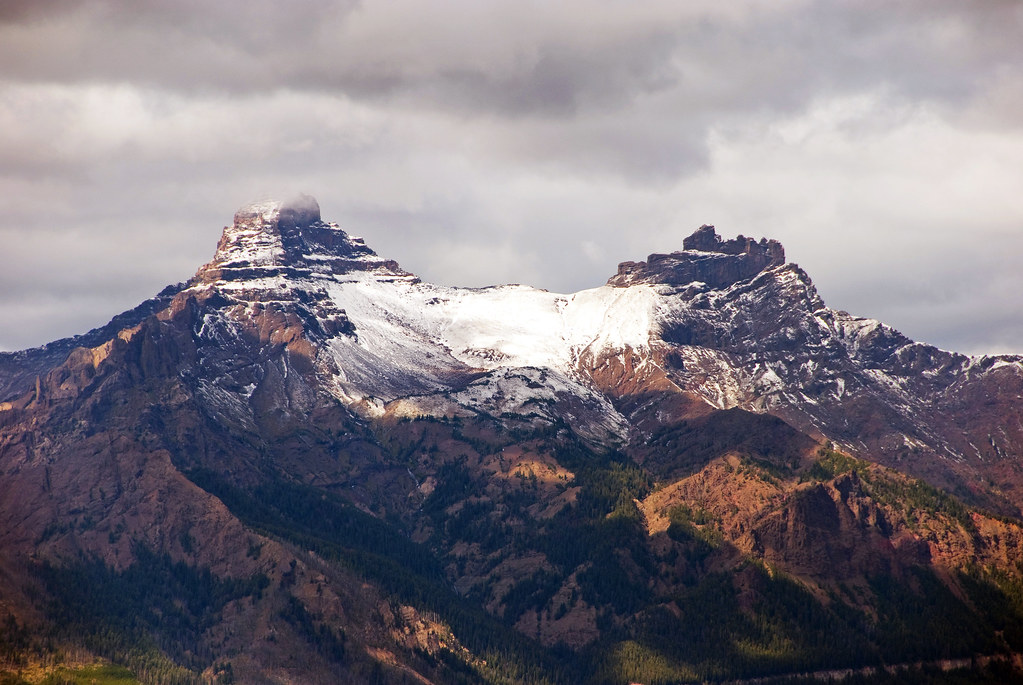
Beartooth Butte Rises Above The Beartooth Highway

Day 239/365 2017-08-27 Mountain Goats

View Into Rock Creek Canyon

Snow in summer along the Beartooth Pass (US Highway 212), along with beautiful alpine mountain views in Montana and Wyoming

Gardner Lake Trailhead Overlook, Beartooth Highway, Park County, Wyoming, USA
Snow in summer along the Beartooth Pass (US Highway 212), along with beautiful alpine mountain views in Montana and Wyoming

A view up the valley from Rock Creek Vista on the Beartooth Highway...

Beartooth Pass Summit sign along the Beartooth Highway
Pilot-Index peaks

Beartooth Plateau Ridge

Mirror Lake

Another View

Twin Lakes

Beartooth Highway

Beartooth Plateau Ridge Annotated
Beartooth Range

Gardner Lake

Beartooth Plateau Vista

The bear's tooth

Gardner Lake

Gardner Lake

View Along The Beartooth Highway

Rows of Ridges

_MG_1518.jpg

Early Snow

Top of the World - Beartooth

Twin Lakes (Explored Apr 17, 2016)

Winter Creek

Extended liberties

_MG_1392-Pano-1.jpg
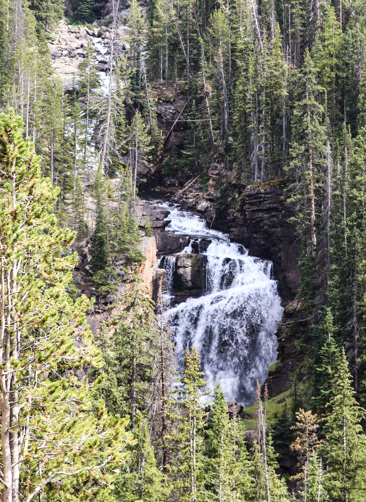
Beartooth Falls

What A View This Tree Has..

Rock Creek Vista
Topographic Map of Glacier Lake Trailhead, US Hwy, Red Lodge, MT, USA
Find elevation by address:

Places near Glacier Lake Trailhead, US Hwy, Red Lodge, MT, USA:
Hellroaring Plateau Trailhead
Greenough Lake Campground
Richel Lodge
130 Spring Creek Rd
Basin Campground
447 Bull Moose Ln
447 Bull Moose Ln
447 Bull Moose Ln
447 Bull Moose Ln
35 Bull Moose Ln
Elk Lake
205 East Side Rd
42 Silver Run Rd
Sheridan
3 Lower Wapiti Valley Rd
597 E Rosebud Rd
Waples Drive
37 Red Lodge Creek Ranch Rd
25 Jones Ln
Meeteetse Meadow Road
Recent Searches:
- Elevation of Corso Fratelli Cairoli, 35, Macerata MC, Italy
- Elevation of Tallevast Rd, Sarasota, FL, USA
- Elevation of 4th St E, Sonoma, CA, USA
- Elevation of Black Hollow Rd, Pennsdale, PA, USA
- Elevation of Oakland Ave, Williamsport, PA, USA
- Elevation of Pedrógão Grande, Portugal
- Elevation of Klee Dr, Martinsburg, WV, USA
- Elevation of Via Roma, Pieranica CR, Italy
- Elevation of Tavkvetili Mountain, Georgia
- Elevation of Hartfords Bluff Cir, Mt Pleasant, SC, USA