Elevation of Gilchrist Rd, Sebastopol, CA, USA
Location: United States > California > Sonoma County > Sebastopol >
Longitude: -122.75097
Latitude: 38.346363
Elevation: 56m / 184feet
Barometric Pressure: 101KPa
Elevation Map:
Satellite Map:
Related Photos:
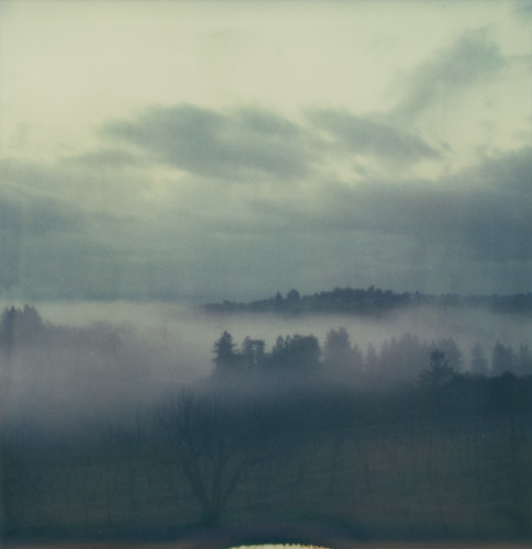
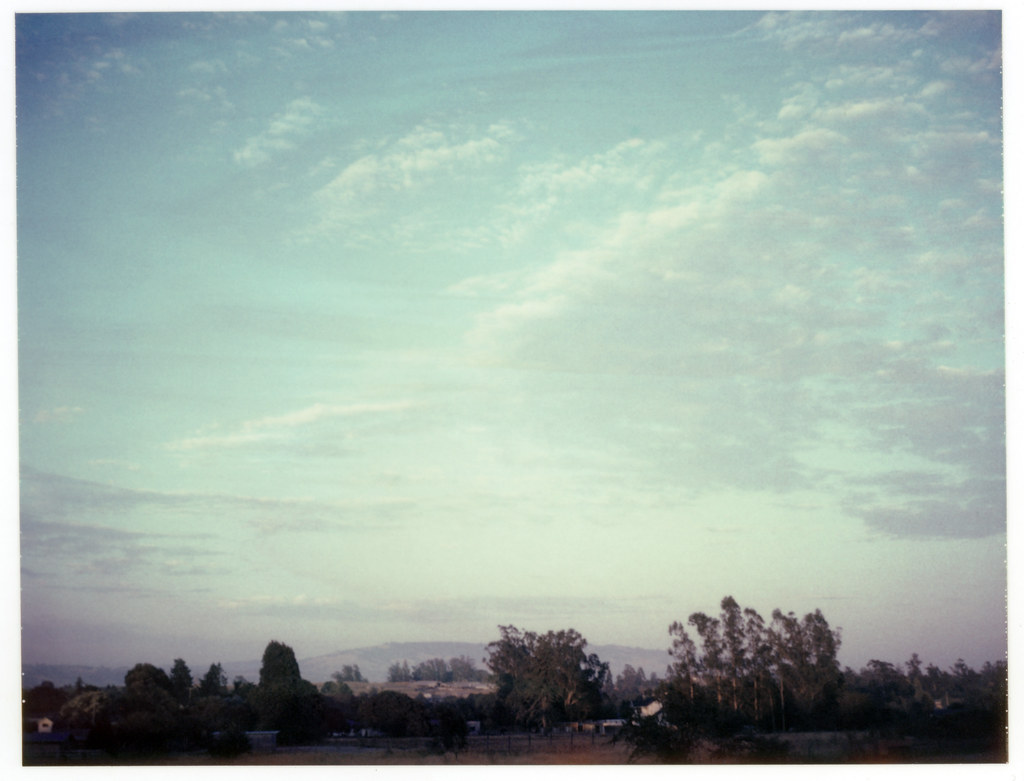
this morning

Late Afternoon in the Laguna de Santa Rosa

Jacked Up Chevy Truck (Boulder Crawler)

Petaluma Historic Buildings
Sonoma County sunday
dusty lane
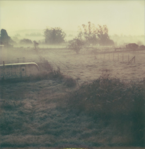
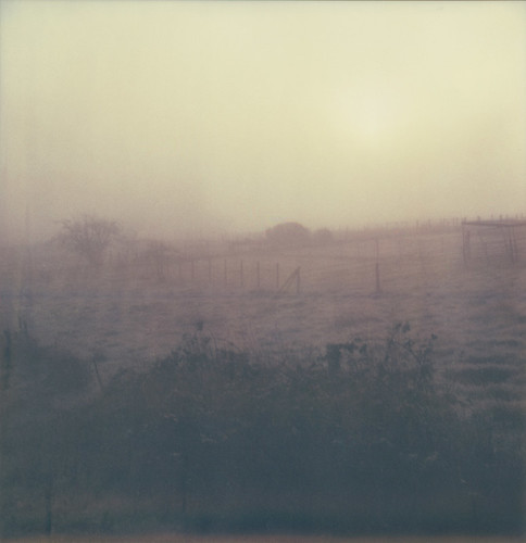
another misty morning

brooklyn in the country
evening sky
the view

pinhole oaks

112/365 : blood

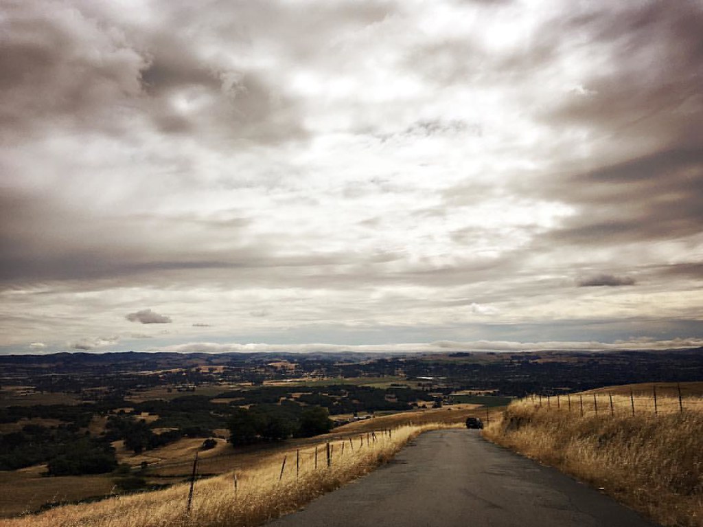
Scenery on My Drive Home From Work
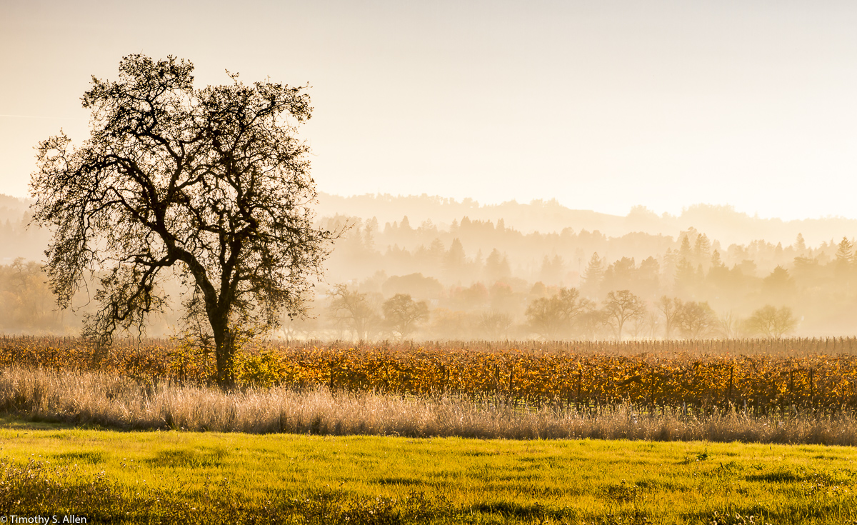
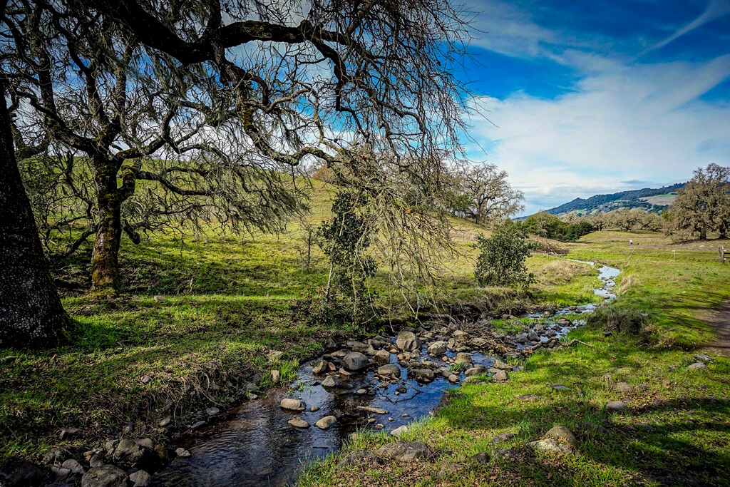
A Lone Tree
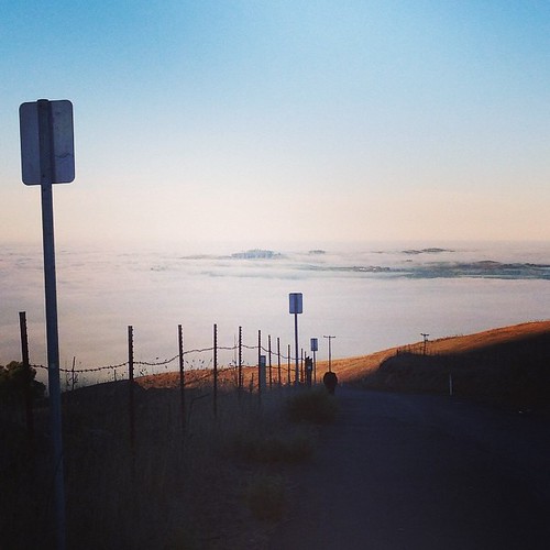
view from Gravity Hill this morning

The view from my hook

View from our front yard: now with a filter.

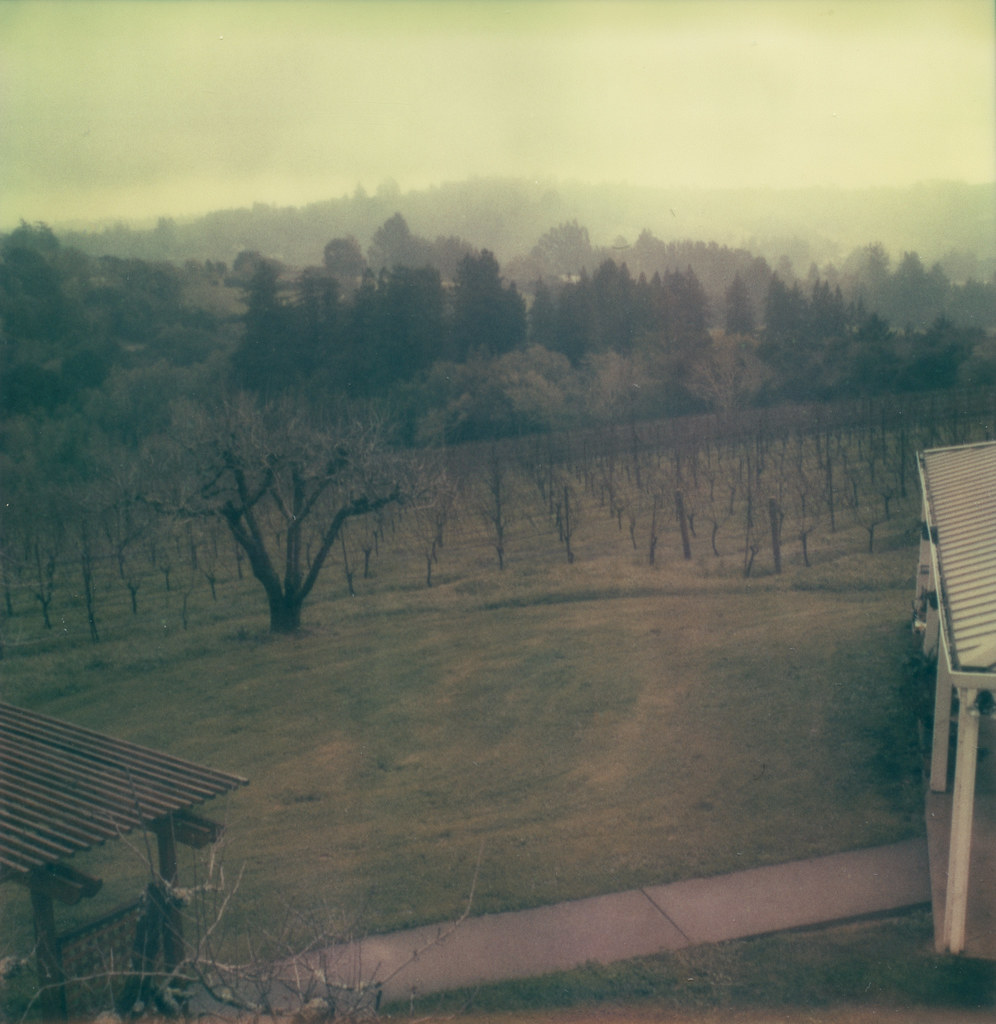
Sonoma Wine Country Vineyards

such shallow fog, the trees stick up out of it!
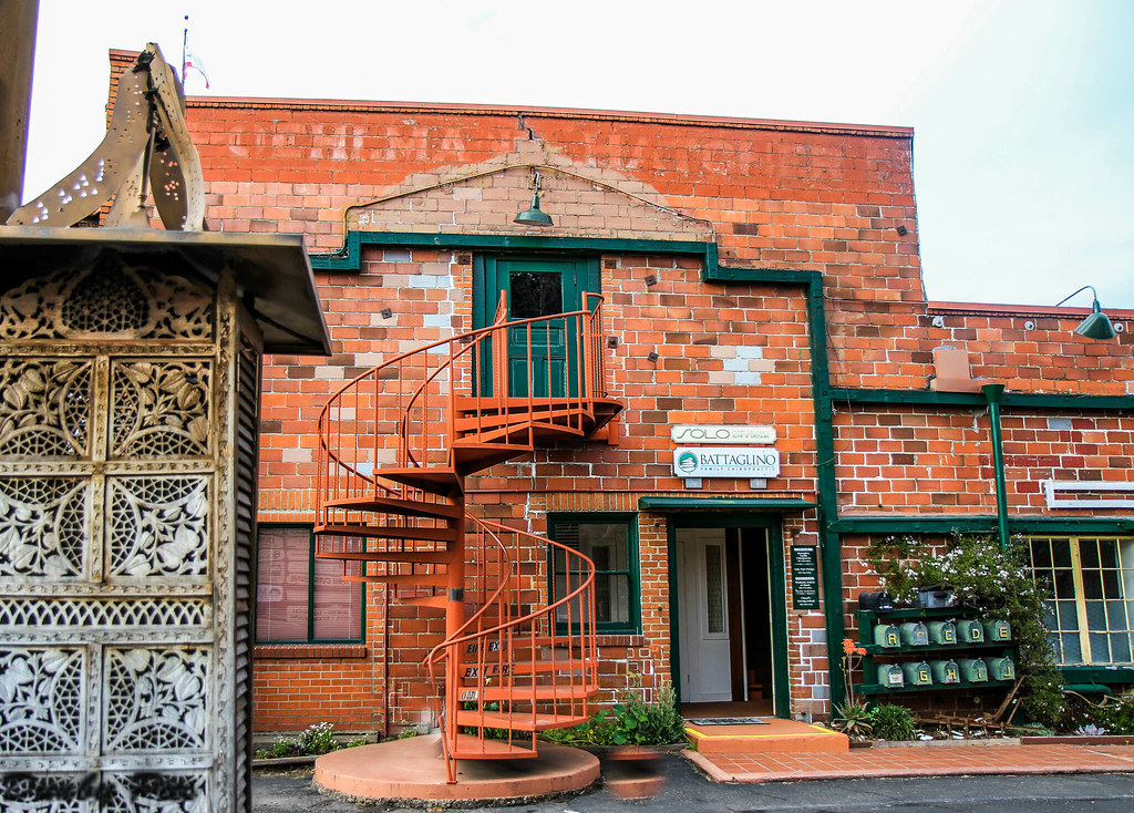
The Petaluma Hatchery Building

2014 Petaluma Lighted Boat Parade

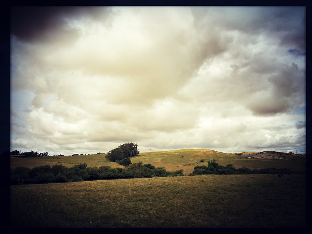
hill and sky

Green Pastures
sunrise thru fog
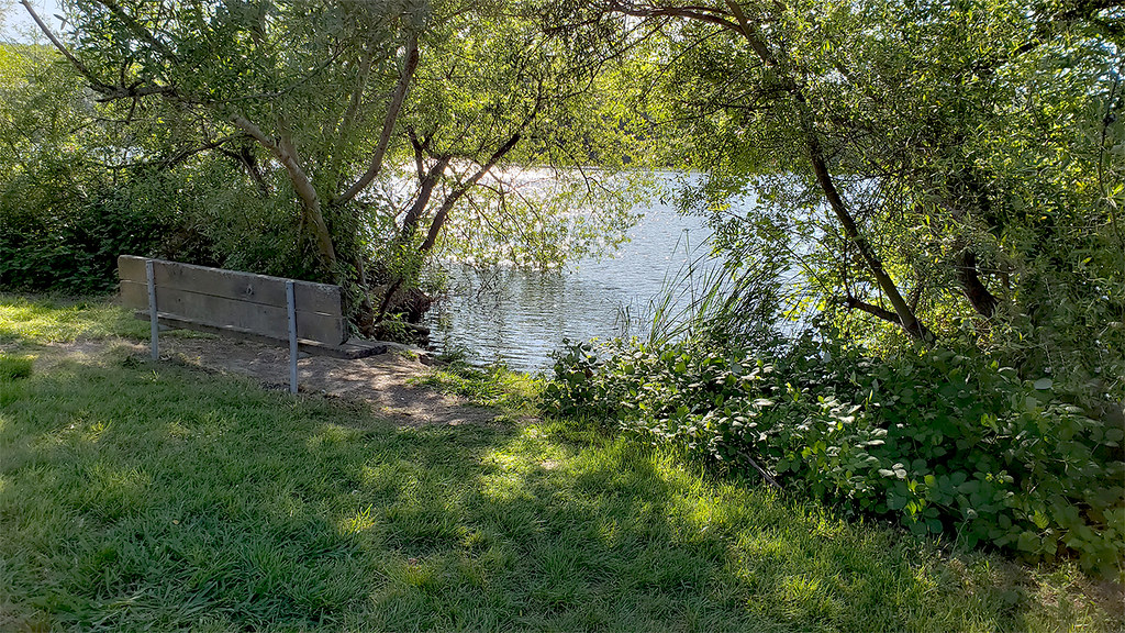
Lake Sunset
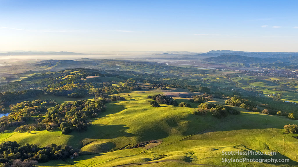
Sonoma Co. landscape, from up on high

Wine country garden
DJI_0216-72

perfectly-shaped tree

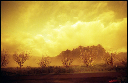
Morning Light

more green-and-fog, from this morning's commute
sonoma mtn

The air up there
vineyard geometry
roadside grass
Crane Creek Regional Park

IMGP4051-Edit
Topographic Map of Gilchrist Rd, Sebastopol, CA, USA
Find elevation by address:

Places near Gilchrist Rd, Sebastopol, CA, USA:
Petersen Rd, Sebastopol, CA, USA
Roblar Rd, Petaluma, CA, USA
Hessel Rd, Sebastopol, CA, USA
4676 Hessel Rd
655 Park Ct
825 Madrone Ave
Gold Ridge Fire Protection
Hessel Rd, Sebastopol, CA, USA
4537 Langner Ave
Fairbanks Road
5190 Quayle Ln
5250 Fairbanks Rd
3930 Walker Ave
5361 Blank Rd
5521 Blank Rd
Cotati
Purple Island Smoke Shop
Doubletree By Hilton Hotel Sonoma Wine Country
1 Doubletree
39 George St
Recent Searches:
- Elevation of Corso Fratelli Cairoli, 35, Macerata MC, Italy
- Elevation of Tallevast Rd, Sarasota, FL, USA
- Elevation of 4th St E, Sonoma, CA, USA
- Elevation of Black Hollow Rd, Pennsdale, PA, USA
- Elevation of Oakland Ave, Williamsport, PA, USA
- Elevation of Pedrógão Grande, Portugal
- Elevation of Klee Dr, Martinsburg, WV, USA
- Elevation of Via Roma, Pieranica CR, Italy
- Elevation of Tavkvetili Mountain, Georgia
- Elevation of Hartfords Bluff Cir, Mt Pleasant, SC, USA