Elevation of Giddalur, Andhra Pradesh, India
Location: India > Andhra Pradesh > Prakasam >
Longitude: 78.9250862
Latitude: 15.3763583
Elevation: 271m / 889feet
Barometric Pressure: 98KPa
Elevation Map:
Satellite Map:
Related Photos:
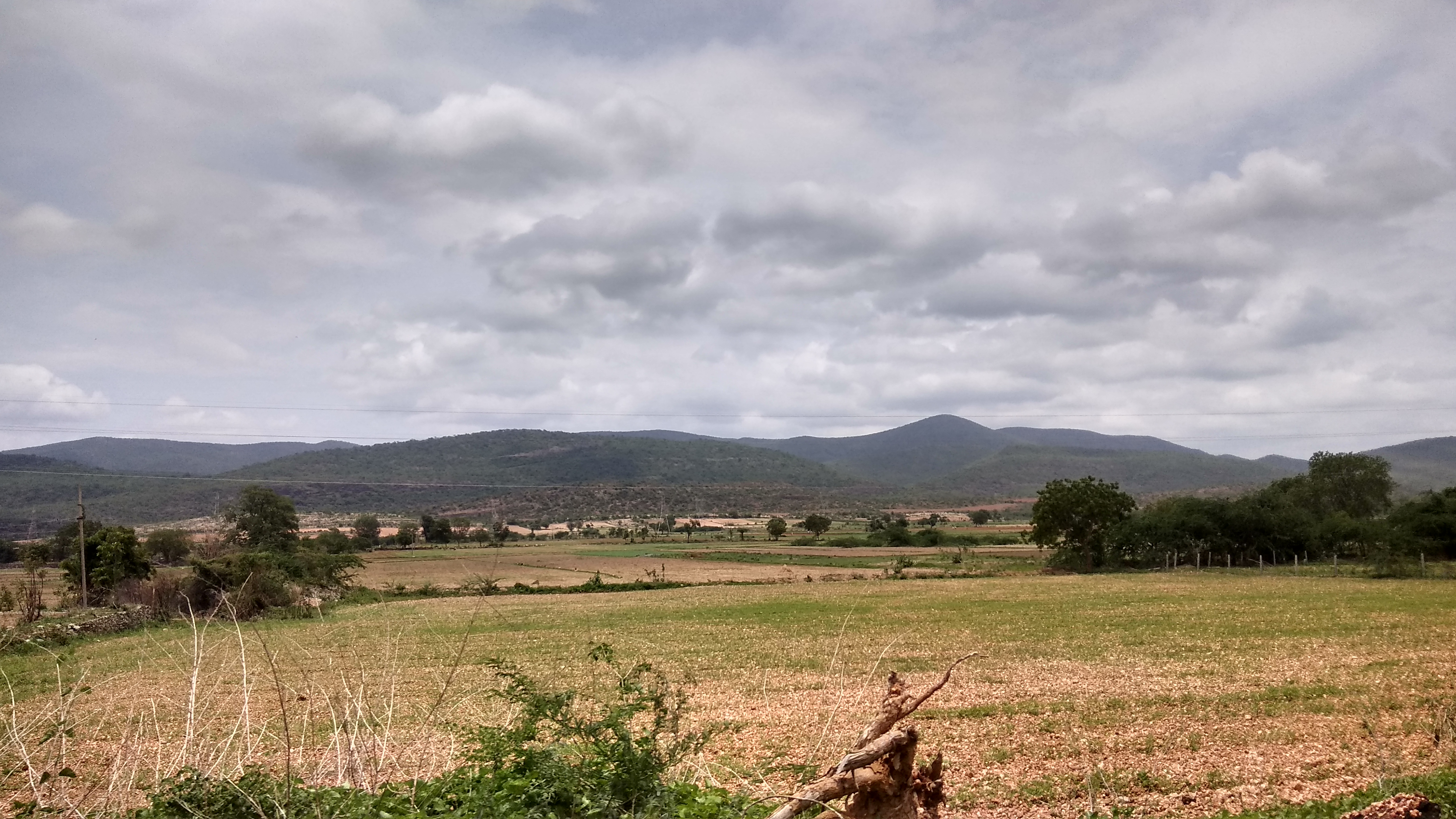
IMG_20170711_121411_HDR
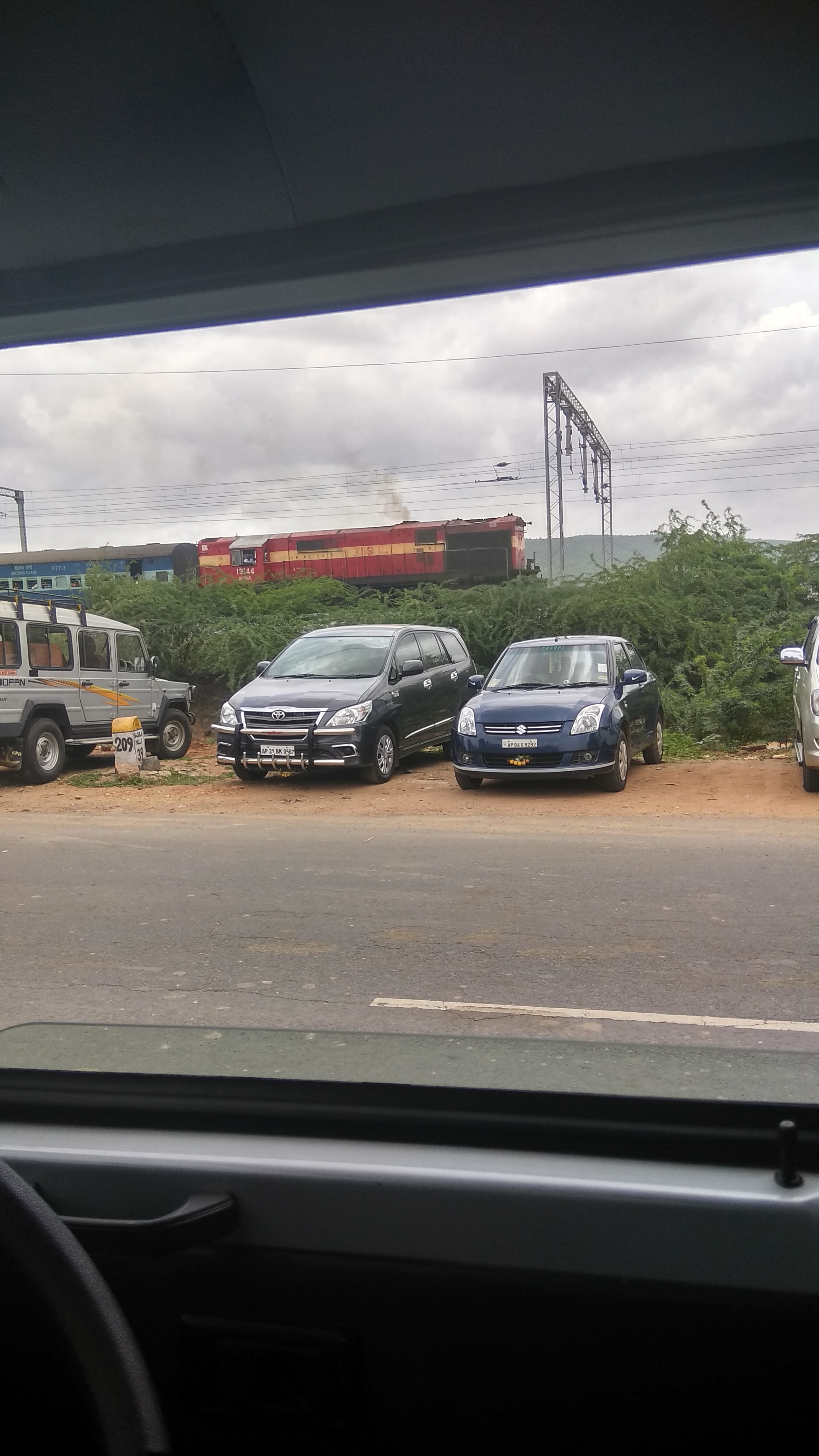
IMG_20170711_124032_HDR
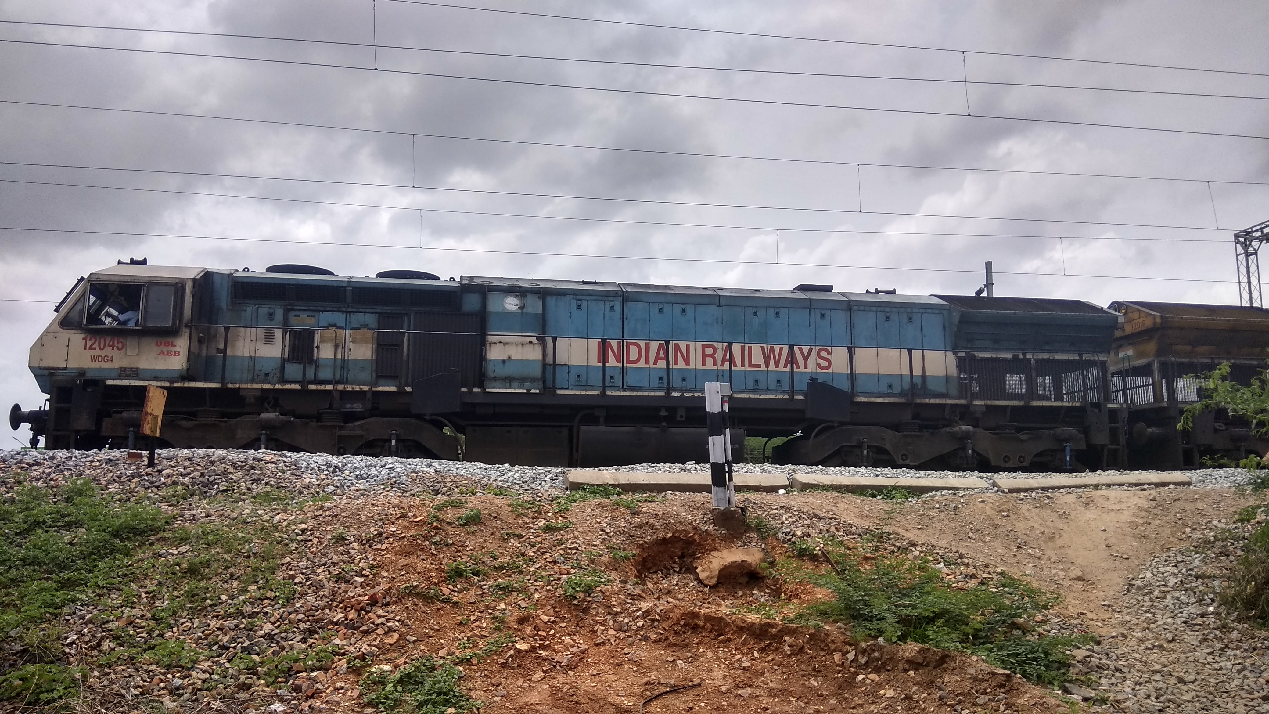
IMG_20170711_125332_HDR
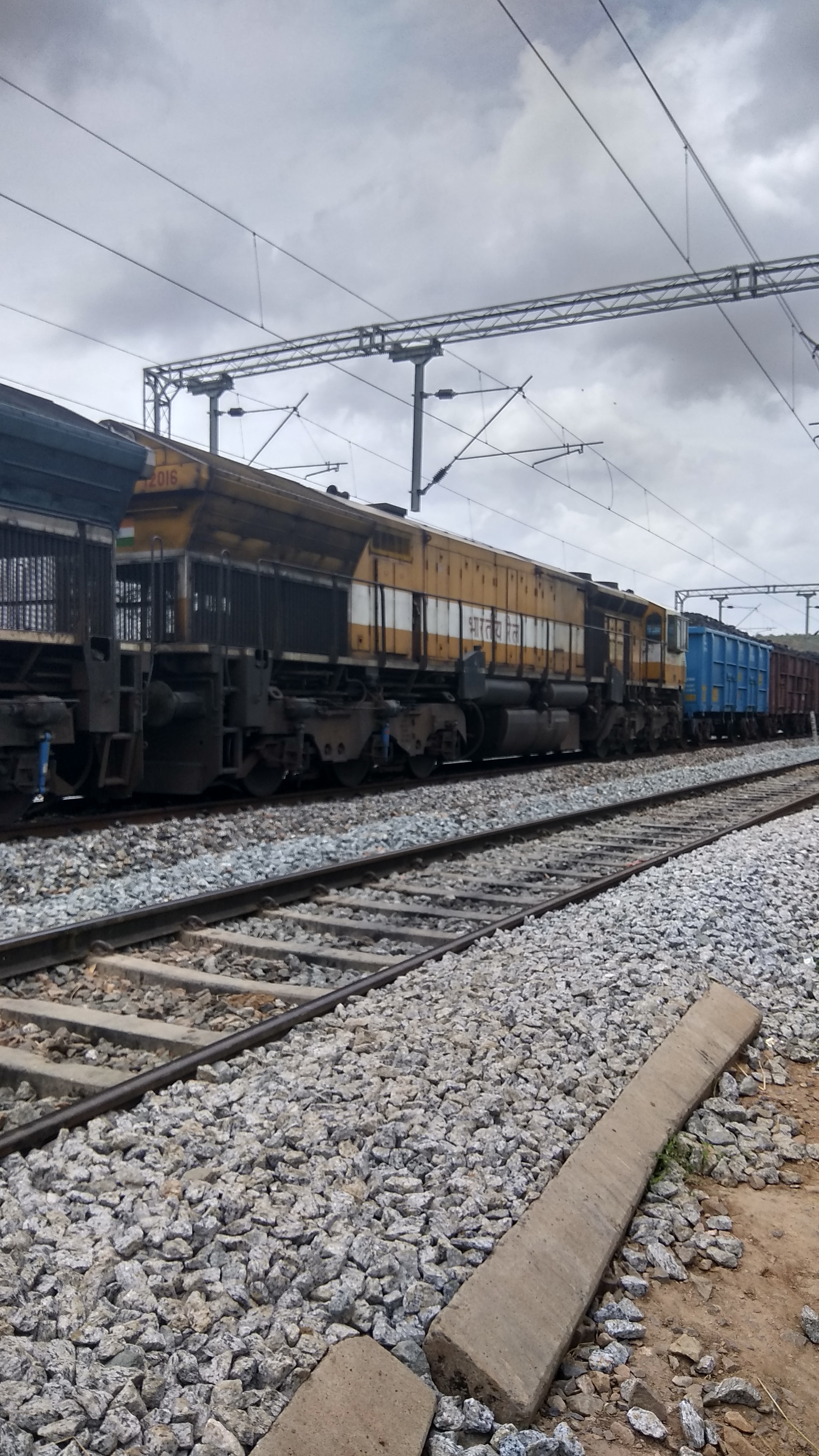
IMG_20170711_125349_HDR
IMG_20170711_134848
IMG_20170711_142808
Topographic Map of Giddalur, Andhra Pradesh, India
Find elevation by address:

Places near Giddalur, Andhra Pradesh, India:
Komarolu
Basinepalli
Mudumala
Kodur
Onipenta
Prakasam
Somayajulapalle
Papampalle
Kadapa
Kadapa
Kandukur
Kulluru
Kandukur Road
Singarayakonda
Kavali
Rajampet
Thippayapalle
Thippayapalli Ramalayam
Allur
2-8-53
Recent Searches:
- Elevation of Corso Fratelli Cairoli, 35, Macerata MC, Italy
- Elevation of Tallevast Rd, Sarasota, FL, USA
- Elevation of 4th St E, Sonoma, CA, USA
- Elevation of Black Hollow Rd, Pennsdale, PA, USA
- Elevation of Oakland Ave, Williamsport, PA, USA
- Elevation of Pedrógão Grande, Portugal
- Elevation of Klee Dr, Martinsburg, WV, USA
- Elevation of Via Roma, Pieranica CR, Italy
- Elevation of Tavkvetili Mountain, Georgia
- Elevation of Hartfords Bluff Cir, Mt Pleasant, SC, USA