Elevation of Gibara, Cuba
Location: Cuba > Holguin >
Longitude: -76.317414
Latitude: 21.0593251
Elevation: 75m / 246feet
Barometric Pressure: 100KPa
Elevation Map:
Satellite Map:
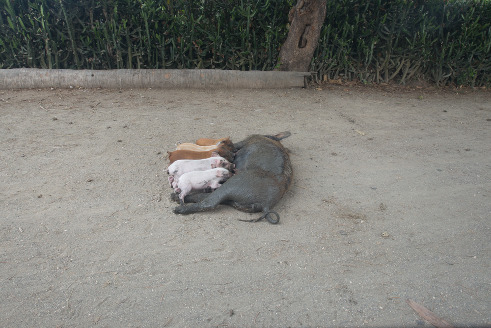
Related Photos:
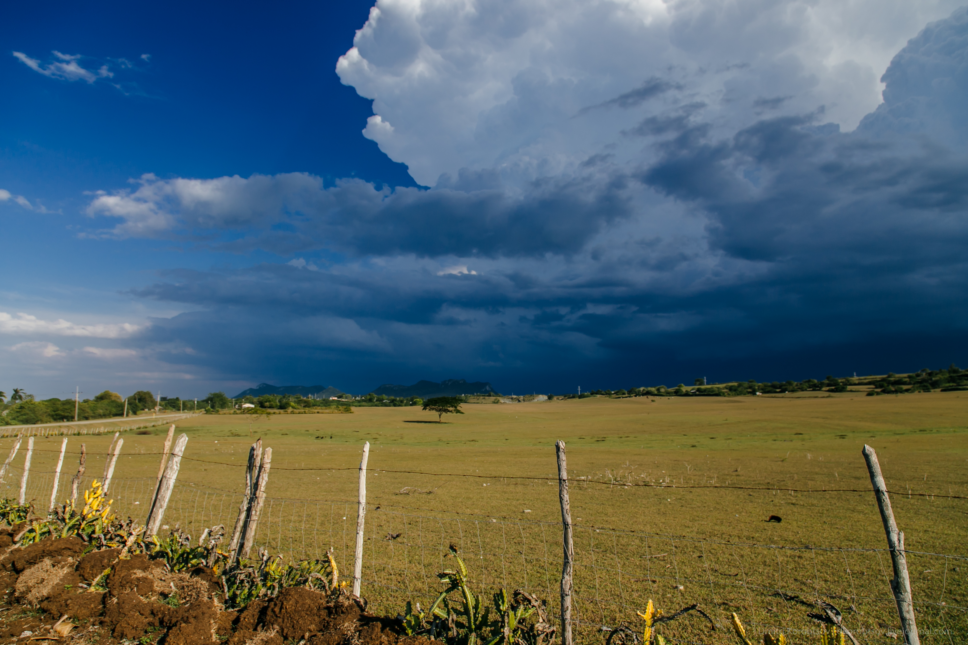
Rustic Landscape

IHH_2820.jpg

IHH_2823.jpg

IHH_2813.jpg

IHH_2822.jpg

IHH_2828.jpg

Cub16-5100

Cub16-5098

Cub16-5097

Cub16-5095

Cub16-5094

Cub16-5093

Cub16-5091

Cub16-5086

Cub16-5085

IHH_2848.jpg
IHH_2847.jpg

IHH_2846.jpg

IHH_2845.jpg

IHH_2844.jpg

IHH_2843.jpg
Topographic Map of Gibara, Cuba
Find elevation by address:

Places in Gibara, Cuba:
Places near Gibara, Cuba:
Calderón
Aguas Claras
Holguín
Nuevo Llano
Nano Chillo
Holguin
Rafael Freyre
Las Tunas
Granma
Santiago De Cuba
Palma Soriano
Palma Soriano
Bartolome Maso
Pico Turquino
Comandancia De La Plata
Recent Searches:
- Elevation of Corso Fratelli Cairoli, 35, Macerata MC, Italy
- Elevation of Tallevast Rd, Sarasota, FL, USA
- Elevation of 4th St E, Sonoma, CA, USA
- Elevation of Black Hollow Rd, Pennsdale, PA, USA
- Elevation of Oakland Ave, Williamsport, PA, USA
- Elevation of Pedrógão Grande, Portugal
- Elevation of Klee Dr, Martinsburg, WV, USA
- Elevation of Via Roma, Pieranica CR, Italy
- Elevation of Tavkvetili Mountain, Georgia
- Elevation of Hartfords Bluff Cir, Mt Pleasant, SC, USA