Elevation of Gibara, Cuba
Location: Cuba > Holguin > Gibara >
Longitude: -76.133444
Latitude: 21.1127551
Elevation: 40m / 131feet
Barometric Pressure: 101KPa
Elevation Map:
Satellite Map:
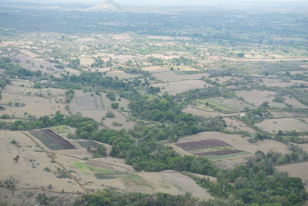
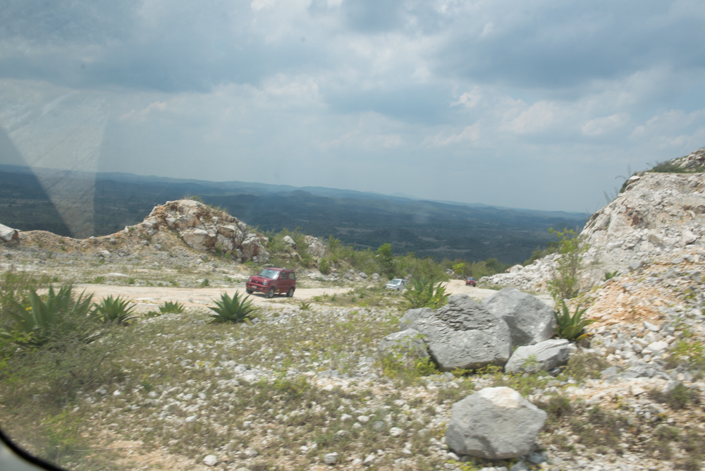
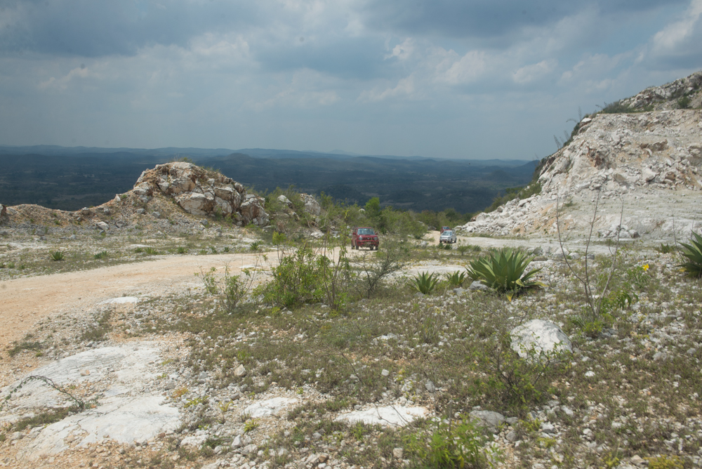
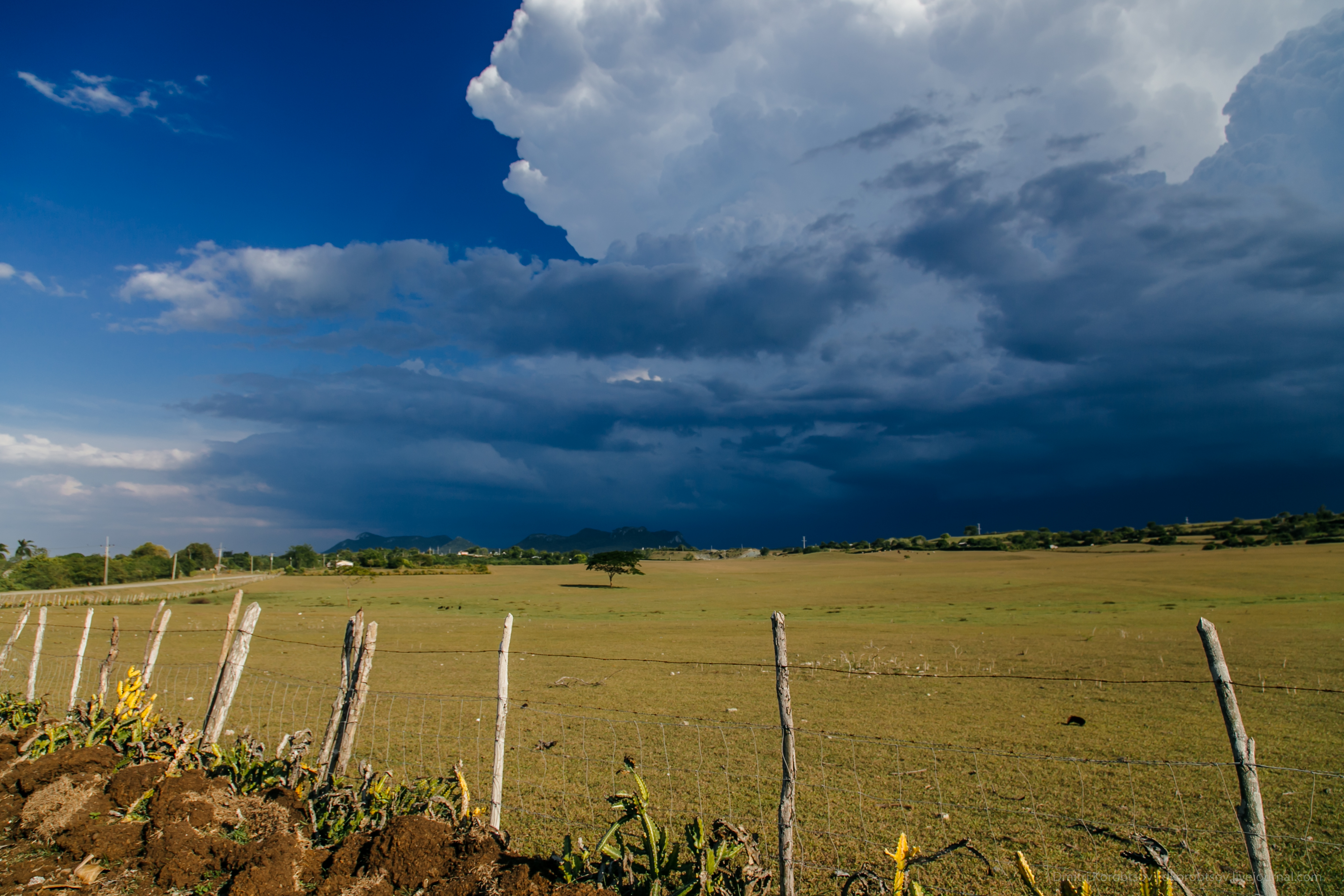
Related Photos:
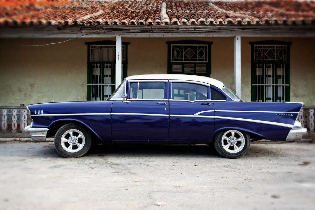
'57 Chevy Bel Air
183/366
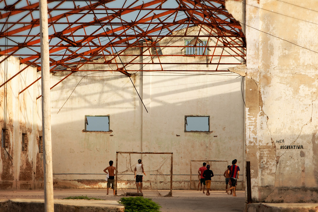
Area Recreativa

The Fisherman
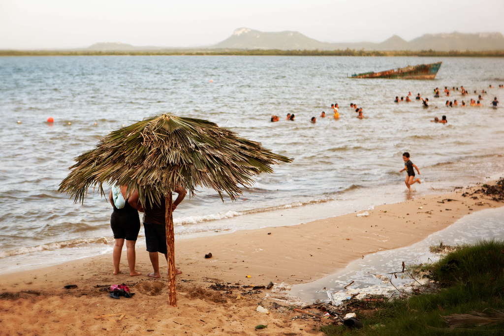
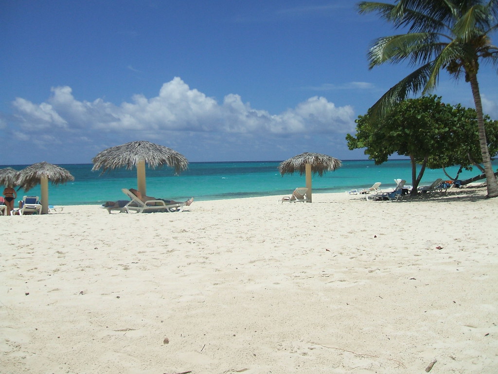
Gibara Beach

Fernando's Defense

The Fisherman (Close-up)
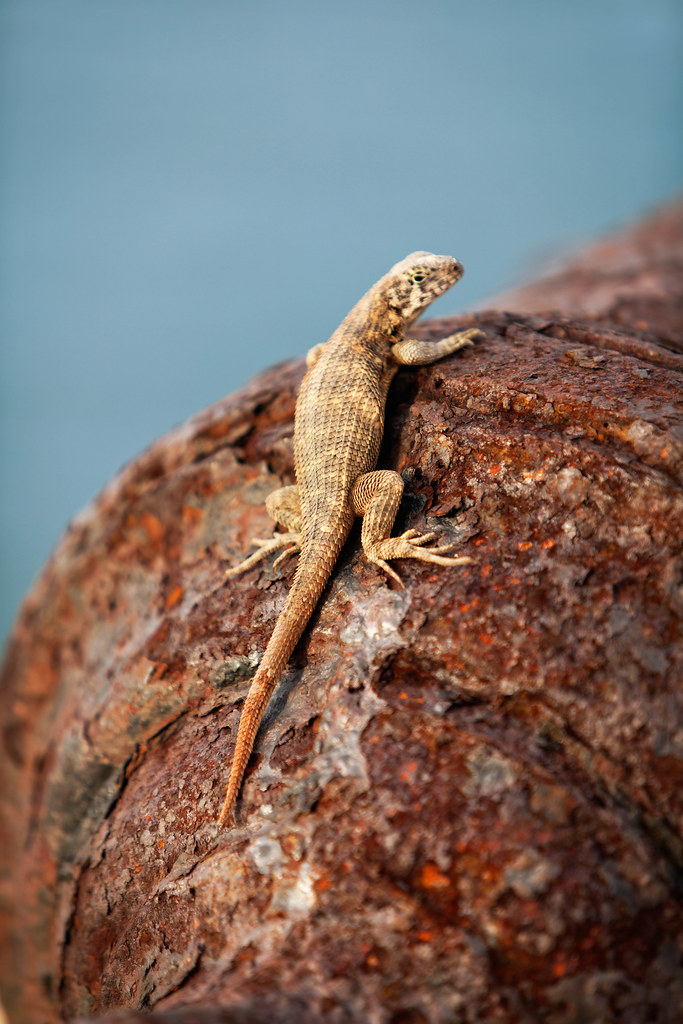
The King's Lizard
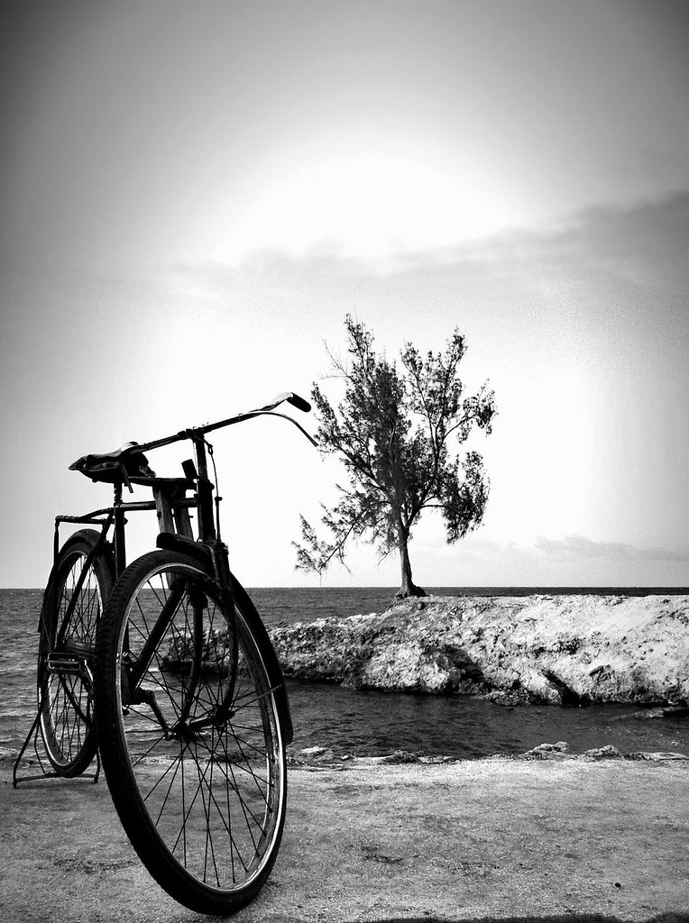
Rubber tires
Cuba Holguin Playa Esmeralda..
IHH_2822.jpg
IHH_2828.jpg
IHH_2805.jpg
IHH_2804.jpg
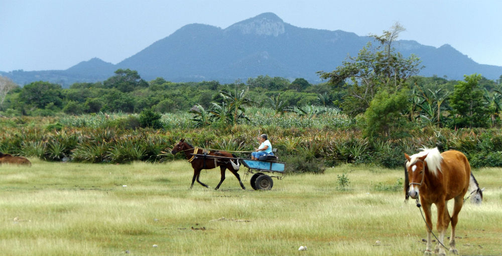
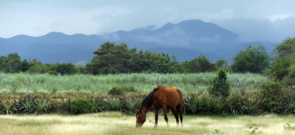
Rustic Landscape
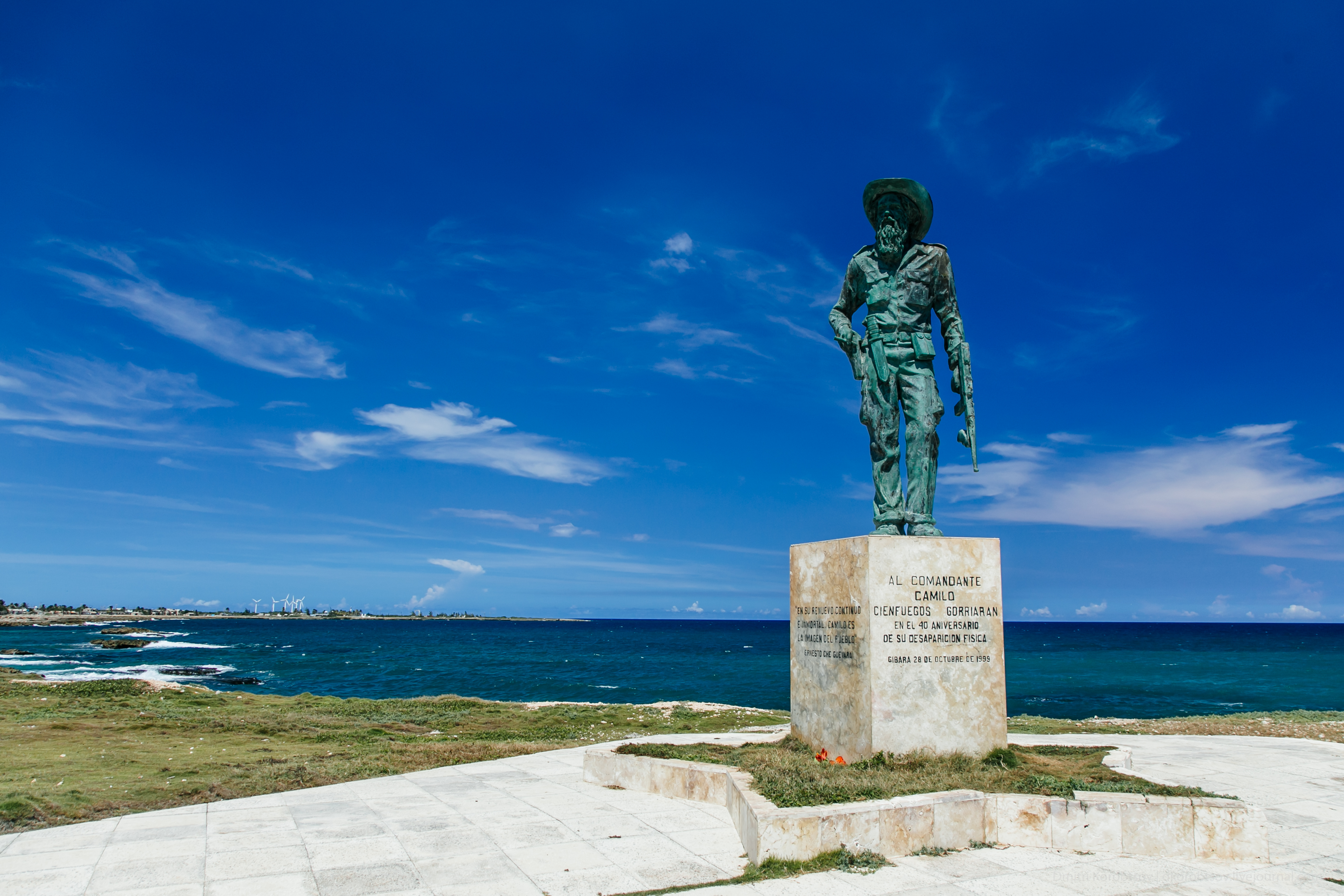
Statue of Camilo Cienfuegos
Cloudy day-Cuba
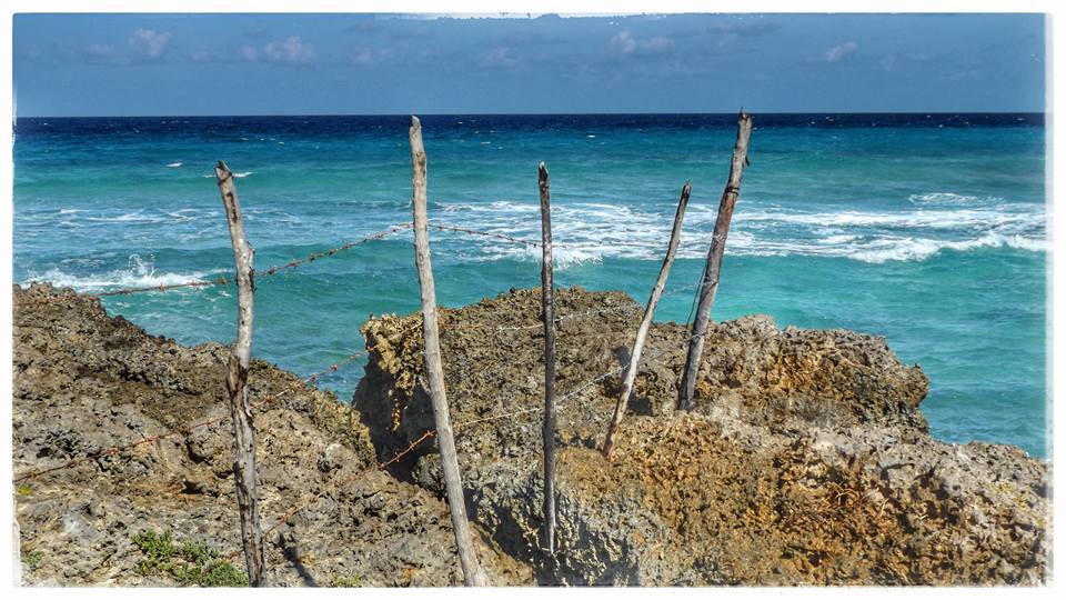
the Fence

IHH_2905.jpg

IHH_2904.jpg
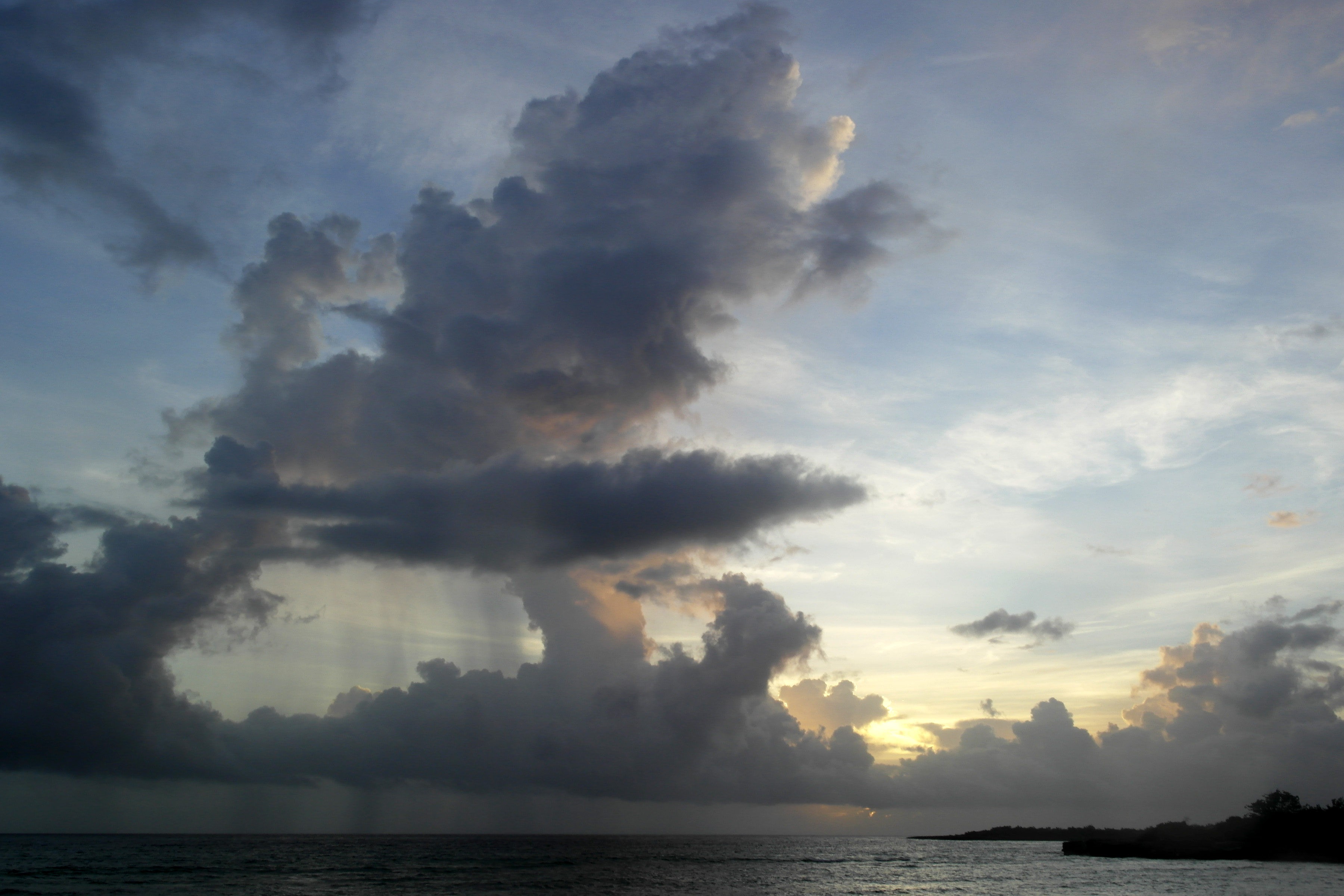
Sky.
Topographic Map of Gibara, Cuba
Find elevation by address:

Places near Gibara, Cuba:
Recent Searches:
- Elevation of Corso Fratelli Cairoli, 35, Macerata MC, Italy
- Elevation of Tallevast Rd, Sarasota, FL, USA
- Elevation of 4th St E, Sonoma, CA, USA
- Elevation of Black Hollow Rd, Pennsdale, PA, USA
- Elevation of Oakland Ave, Williamsport, PA, USA
- Elevation of Pedrógão Grande, Portugal
- Elevation of Klee Dr, Martinsburg, WV, USA
- Elevation of Via Roma, Pieranica CR, Italy
- Elevation of Tavkvetili Mountain, Georgia
- Elevation of Hartfords Bluff Cir, Mt Pleasant, SC, USA