Elevation map of Ghizar
Longitude: 73.2765361
Latitude: 36.2796722
Elevation: 4453m / 14610feet
Barometric Pressure: 58KPa
Elevation Map:
Satellite Map:
Related Photos:
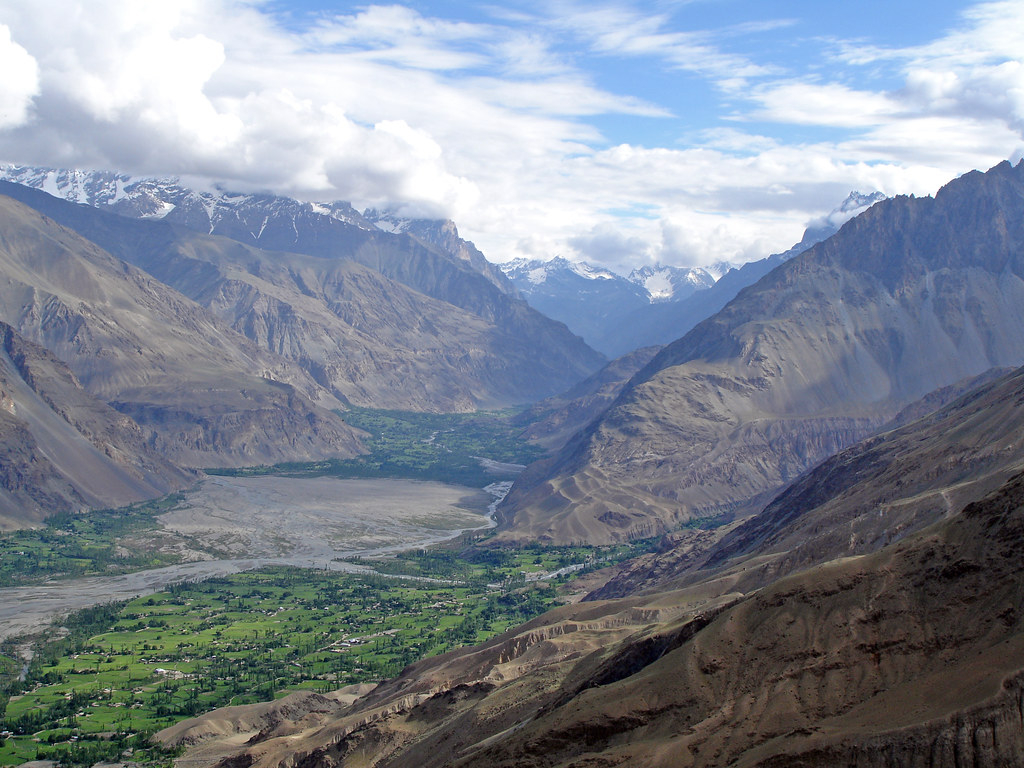
Pak_059 Yasin Valley
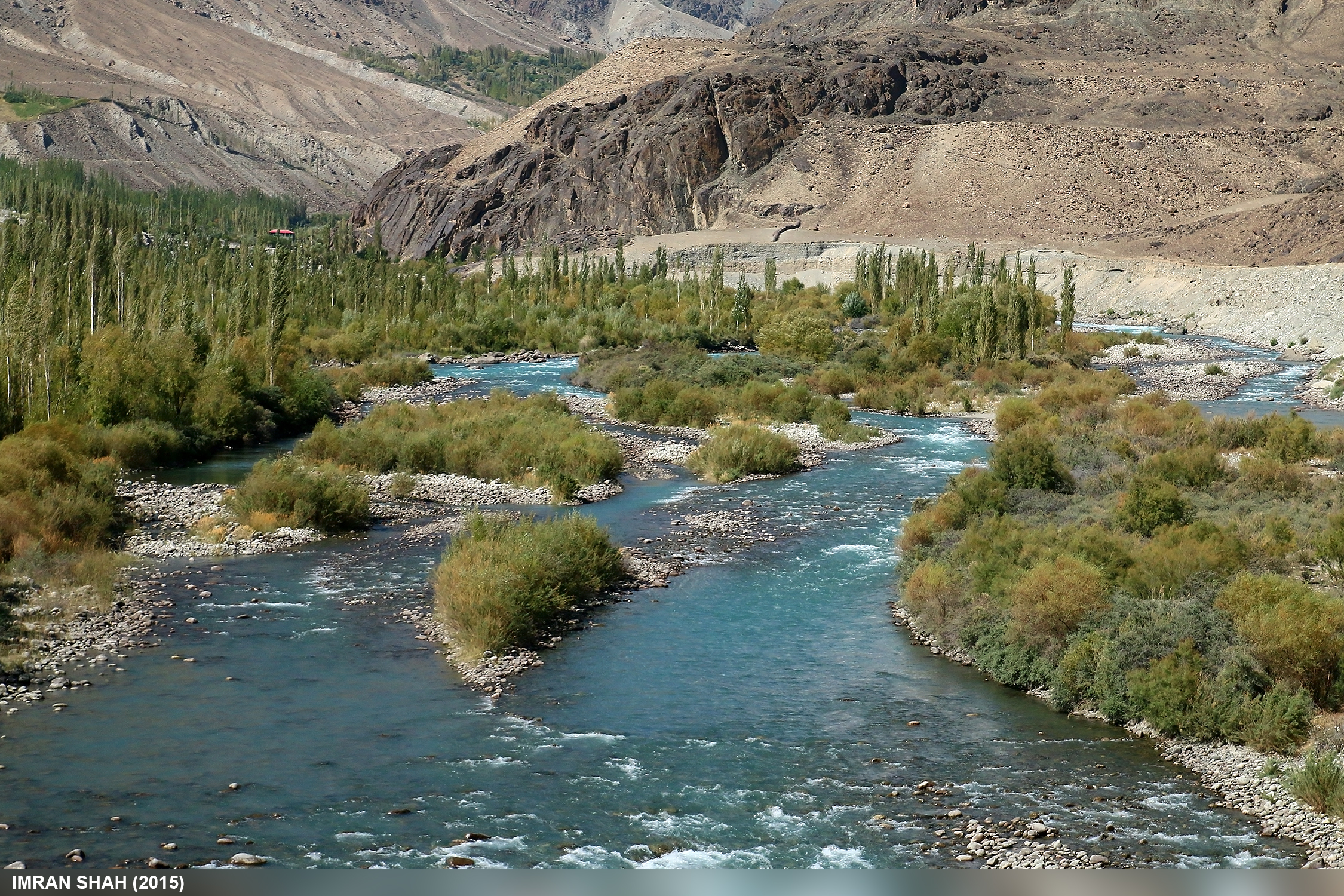
Gilgit River

Khalti, Ghizer, Gilgit-Baltistan, Pakistan

Khalti Lake and Village

Khalti Lake and Village

Pak_057 Yasin Valley

Pak_058C Yasin Valley

Khalti Lake, Ghizer

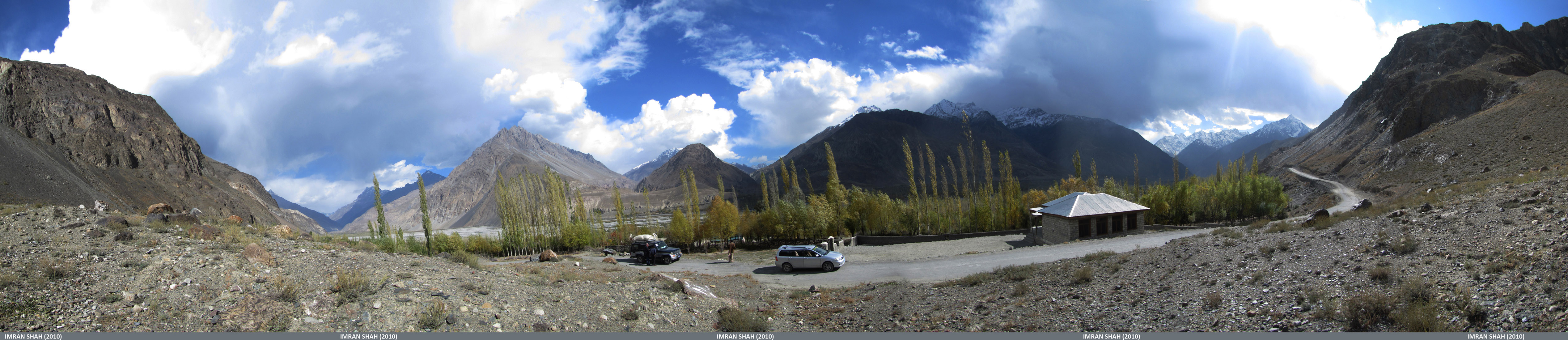
Pak_067 Yasin to Shandur

Khalti Lake, Ghizer
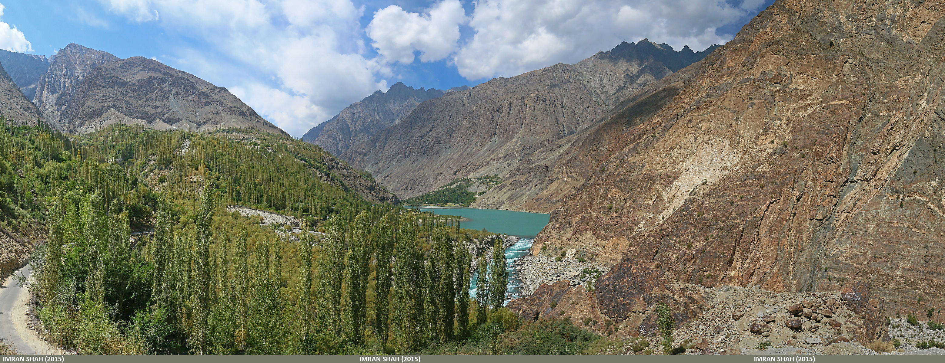
Khalti Lake from PTDC, Jandrot.

Pak_063 Yasin Valley

Entering Yasin Valley

Junction of Barkolti and Thoi Valley, Yasin
Somewhere in front of Sandhi, Yasin
Topographic Map of Ghizar
Find elevation by address:

Places near Ghizar:
Khalti Lake
Yasin Valley
Ptdc Motel Gupis
Ghizer River
Gupis
Gilgit River
Makuli Yasin Valley
Umalsat
Gahkuch
Chatorkhand
Ishkoman
Kohistan
Sherqilla
Naltar Lake
Naltar Lake 4
Kandia Valley Bridge
Naltar Valley
Chari Khand
Dassu
Dassu Teshil
Recent Searches:
- Elevation of Corso Fratelli Cairoli, 35, Macerata MC, Italy
- Elevation of Tallevast Rd, Sarasota, FL, USA
- Elevation of 4th St E, Sonoma, CA, USA
- Elevation of Black Hollow Rd, Pennsdale, PA, USA
- Elevation of Oakland Ave, Williamsport, PA, USA
- Elevation of Pedrógão Grande, Portugal
- Elevation of Klee Dr, Martinsburg, WV, USA
- Elevation of Via Roma, Pieranica CR, Italy
- Elevation of Tavkvetili Mountain, Georgia
- Elevation of Hartfords Bluff Cir, Mt Pleasant, SC, USA