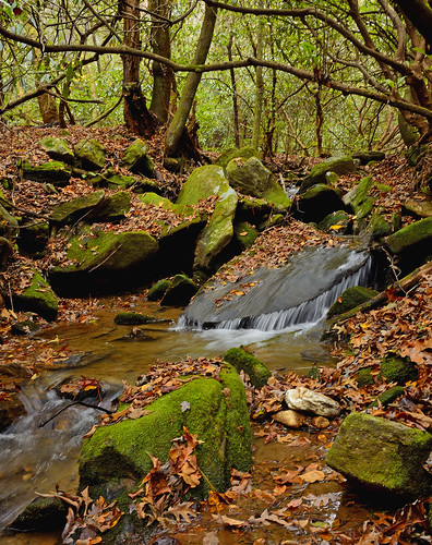
Elevation of Germany Rd, Clayton, GA, USA
Location: United States > Georgia > Rabun County > Clayton >
Longitude: -83.468697
Latitude: 34.8975495
Elevation: 784m / 2572feet
Barometric Pressure: 92KPa
Related Photos:
Topographic Map of Germany Rd, Clayton, GA, USA
Find elevation by address:

Places near Germany Rd, Clayton, GA, USA:
2761 Germany Rd
2761 Germany Rd
Green Bower Trail
551 Round Top Dr
639 Cloudland
47 Constellation Ln
106 Lasso Ln
1443 N Germany Rd
1443 N Germany Rd
Louing Creek
Tall Pines
181 Barnyard Ln
5124 Us-76
Blue Ridge Gap Road
North Germany Road
45 Wiley Dickerson Ln
Napoleon Lane
4130 Wolffork Rd
140 Grouse Ledge Dr
140 Grouse Ledge Dr
Recent Searches:
- Elevation of Corso Fratelli Cairoli, 35, Macerata MC, Italy
- Elevation of Tallevast Rd, Sarasota, FL, USA
- Elevation of 4th St E, Sonoma, CA, USA
- Elevation of Black Hollow Rd, Pennsdale, PA, USA
- Elevation of Oakland Ave, Williamsport, PA, USA
- Elevation of Pedrógão Grande, Portugal
- Elevation of Klee Dr, Martinsburg, WV, USA
- Elevation of Via Roma, Pieranica CR, Italy
- Elevation of Tavkvetili Mountain, Georgia
- Elevation of Hartfords Bluff Cir, Mt Pleasant, SC, USA


