Elevation of Germany Rd, Clayton, GA, USA
Location: United States > Georgia > Rabun County > Clayton >
Longitude: -83.468697
Latitude: 34.8975495
Elevation: 784m / 2572feet
Barometric Pressure: 92KPa
Elevation Map:
Satellite Map:
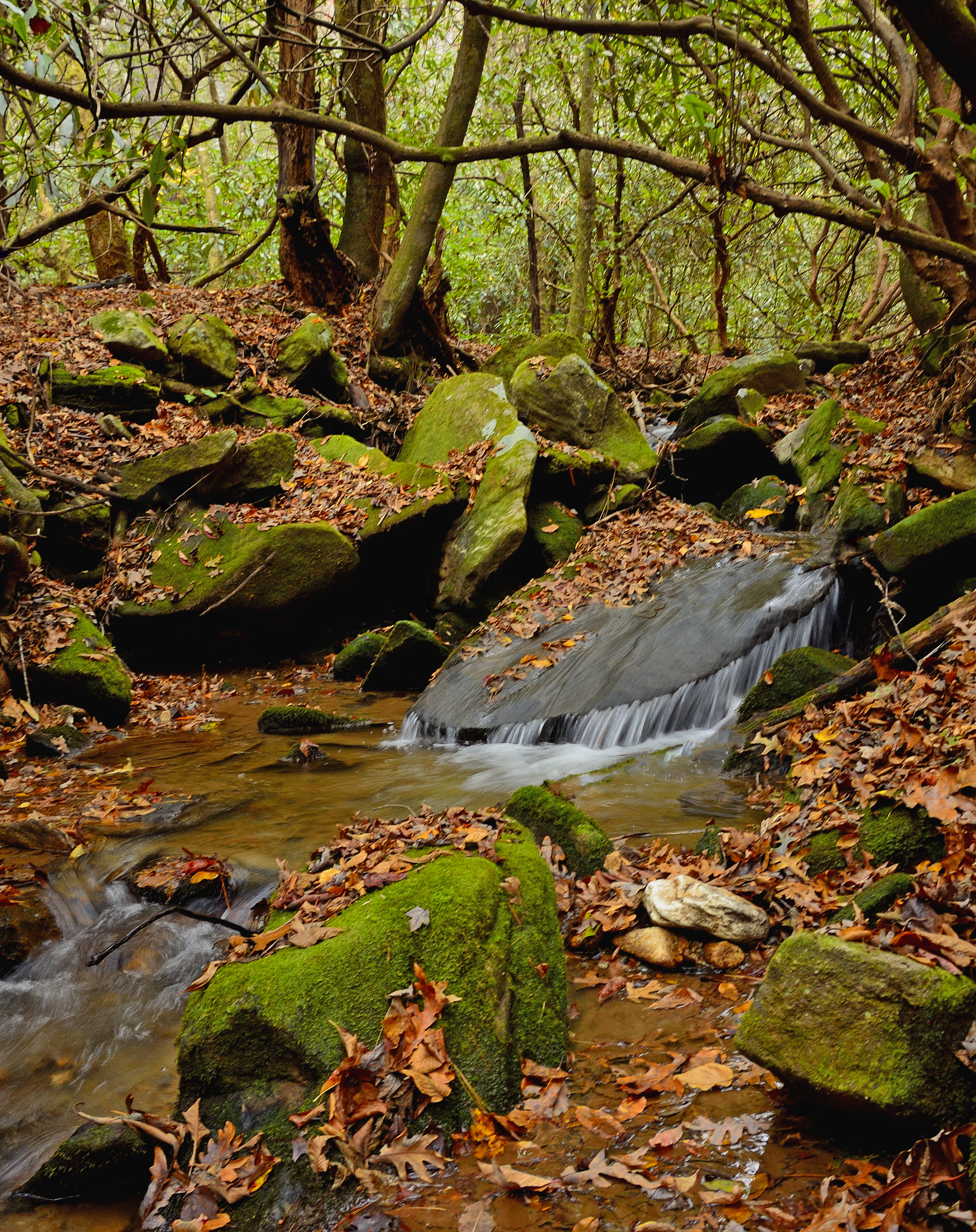
Related Photos:

IMG_0129-100307

Martin Creek Falls

Sibling Falls

Mud Creek Falls

Martin Creek Falls

Panther Falls

Martin Creek Falls

Just after sunrise

Bad Branch Falls

Sibling Falls

Wildcat Water Slide

Martin Creek Falls

IMG_7378-090606

Nature's Symmetry

Becky Branch Falls

Crow Creek Falls

Wildcat Creek Falls

Crow Creek Falls

Crow Creek Falls

Lower Crow Creek Falls

Wildcat Water Slide

Panther Falls
BLACK ROCK MOUNTAIN CREEK

Warwoman Creek Falls

Bad Branch Falls

Hemlock Falls

Bad Branch Panoramic

Wildcat Water Slide

Crow Creek Falls
Topographic Map of Germany Rd, Clayton, GA, USA
Find elevation by address:

Places near Germany Rd, Clayton, GA, USA:
2761 Germany Rd
2761 Germany Rd
Green Bower Trail
551 Round Top Dr
639 Cloudland
47 Constellation Ln
106 Lasso Ln
1443 N Germany Rd
1443 N Germany Rd
Louing Creek
Tall Pines
181 Barnyard Ln
5124 Us-76
Blue Ridge Gap Road
North Germany Road
45 Wiley Dickerson Ln
Napoleon Lane
4130 Wolffork Rd
140 Grouse Ledge Dr
140 Grouse Ledge Dr
Recent Searches:
- Elevation of Corso Fratelli Cairoli, 35, Macerata MC, Italy
- Elevation of Tallevast Rd, Sarasota, FL, USA
- Elevation of 4th St E, Sonoma, CA, USA
- Elevation of Black Hollow Rd, Pennsdale, PA, USA
- Elevation of Oakland Ave, Williamsport, PA, USA
- Elevation of Pedrógão Grande, Portugal
- Elevation of Klee Dr, Martinsburg, WV, USA
- Elevation of Via Roma, Pieranica CR, Italy
- Elevation of Tavkvetili Mountain, Georgia
- Elevation of Hartfords Bluff Cir, Mt Pleasant, SC, USA