Elevation of Georgetown Rd, Chestertown, MD, USA
Location: United States > Maryland > Kent County > 6, Fairlee >
Longitude: -76.197186
Latitude: 39.222041
Elevation: 13m / 43feet
Barometric Pressure: 101KPa
Elevation Map:
Satellite Map:
Related Photos:

Osprey at Chesapeake Farms
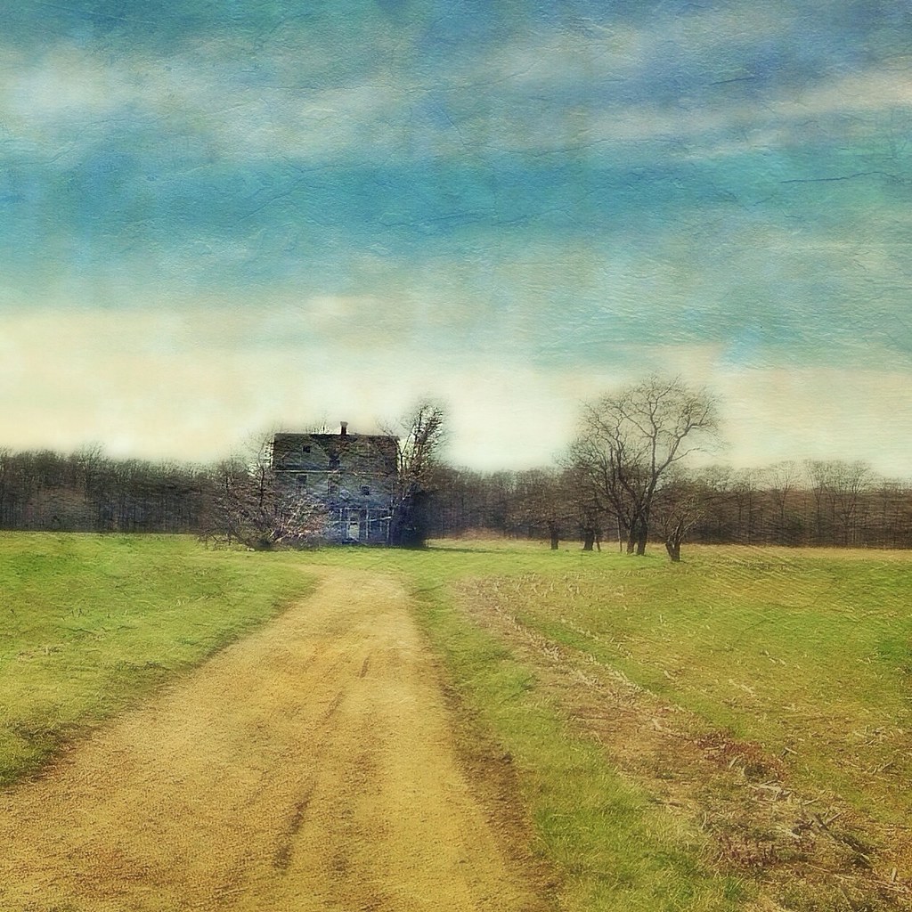
A Story Untold
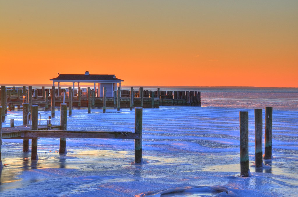
Frozen Chesapeake

120/365 102809

Rock Hall
Rock Hall, MD

Dusk on the River

Horned Lark
Rock Hall, MD
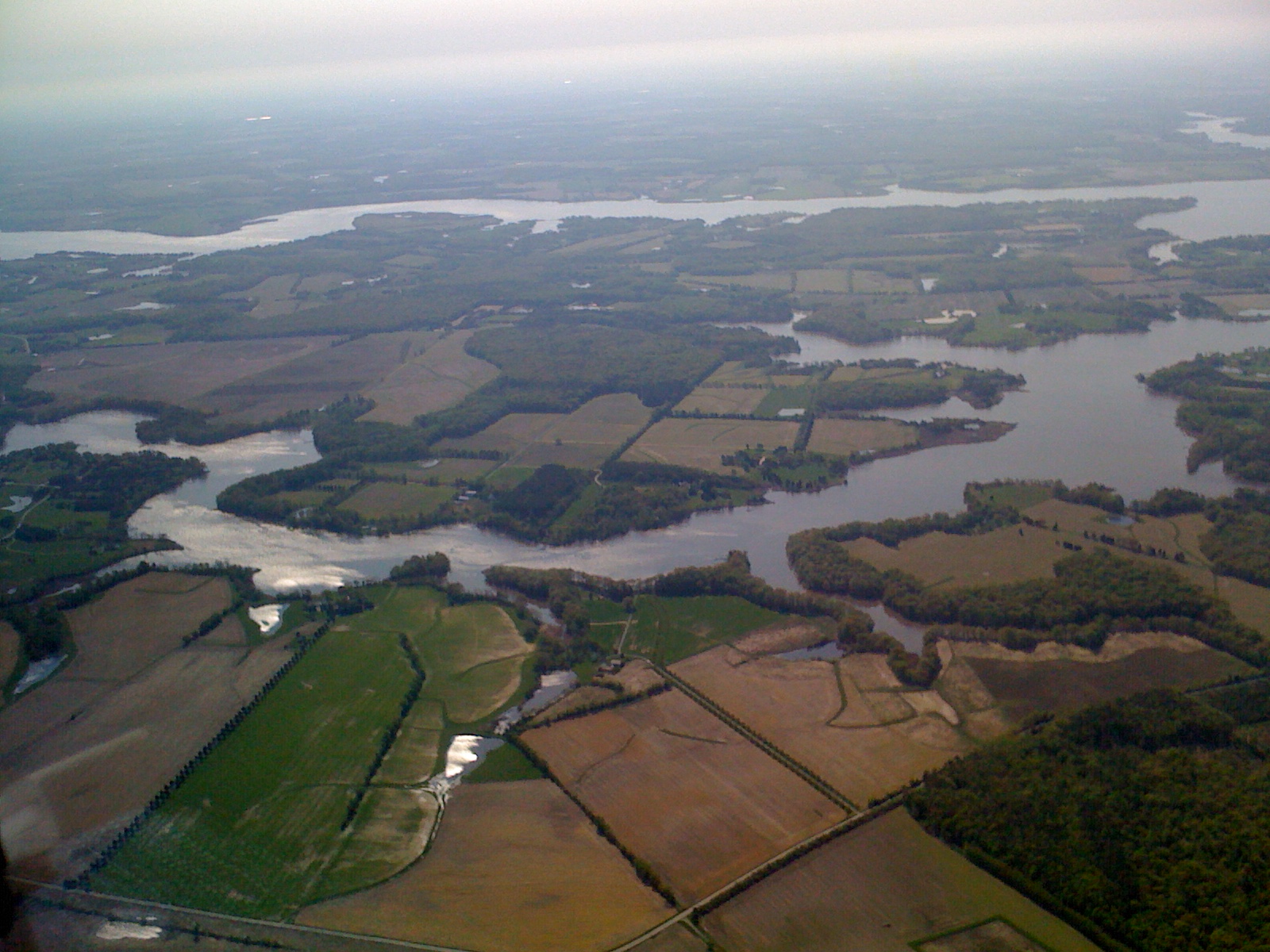
Day 3 of the trip 536
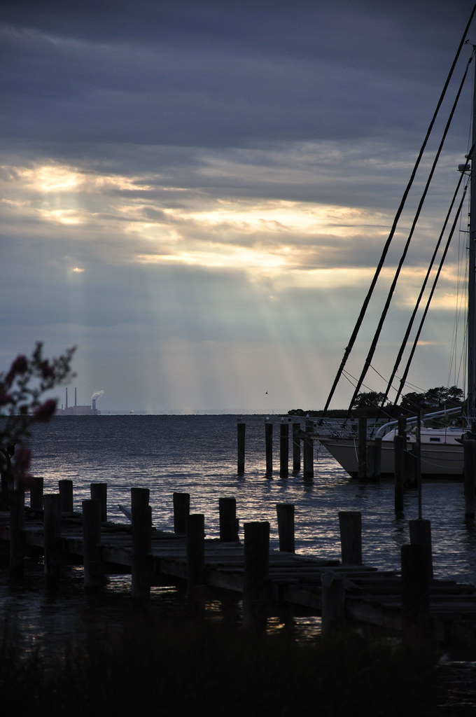
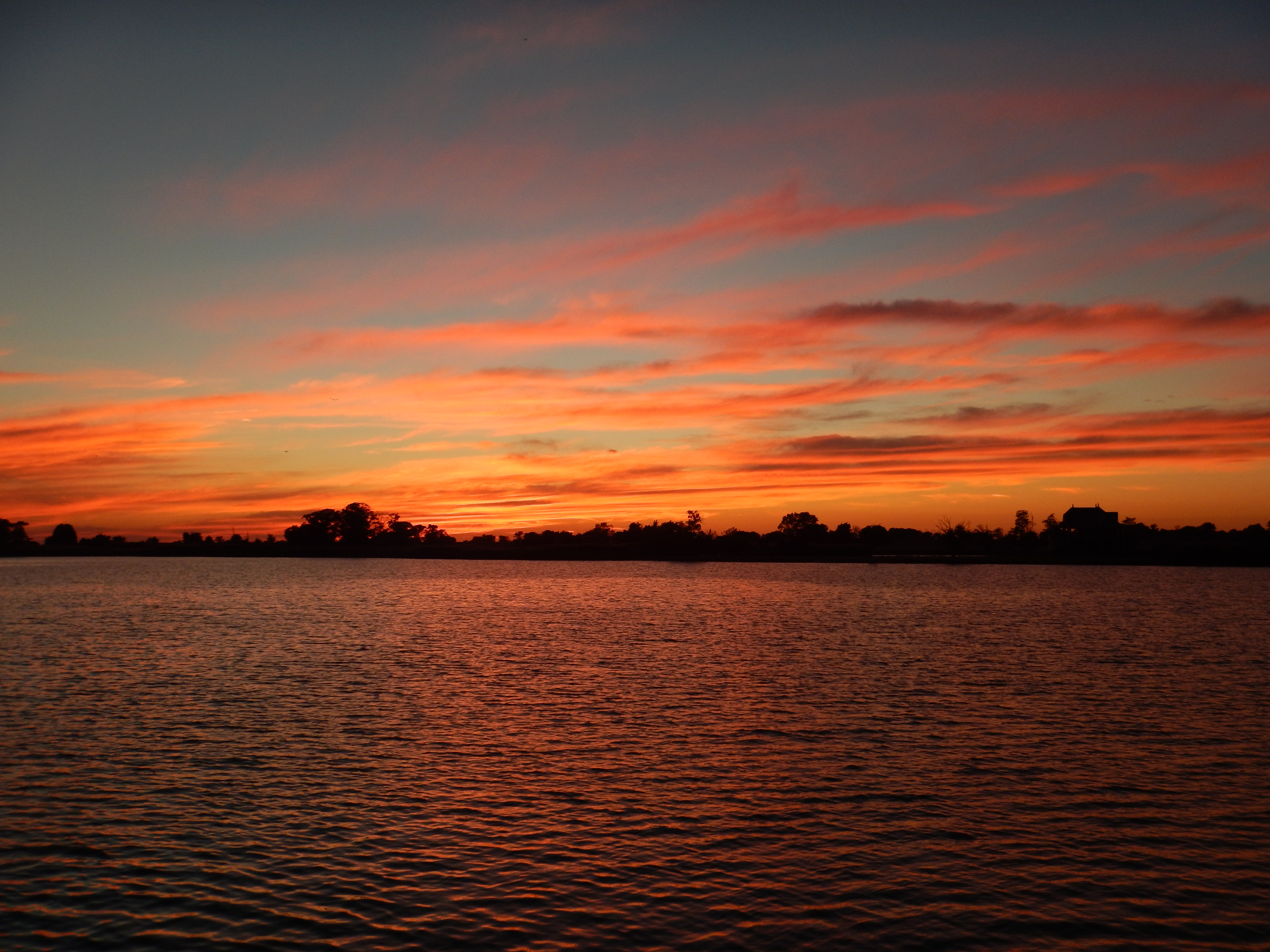
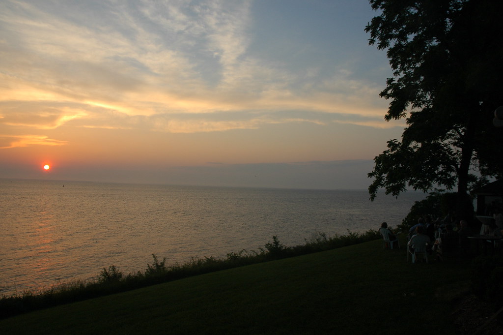
Sunset on the Chesapeake Bay

Lifebird #548 / #359
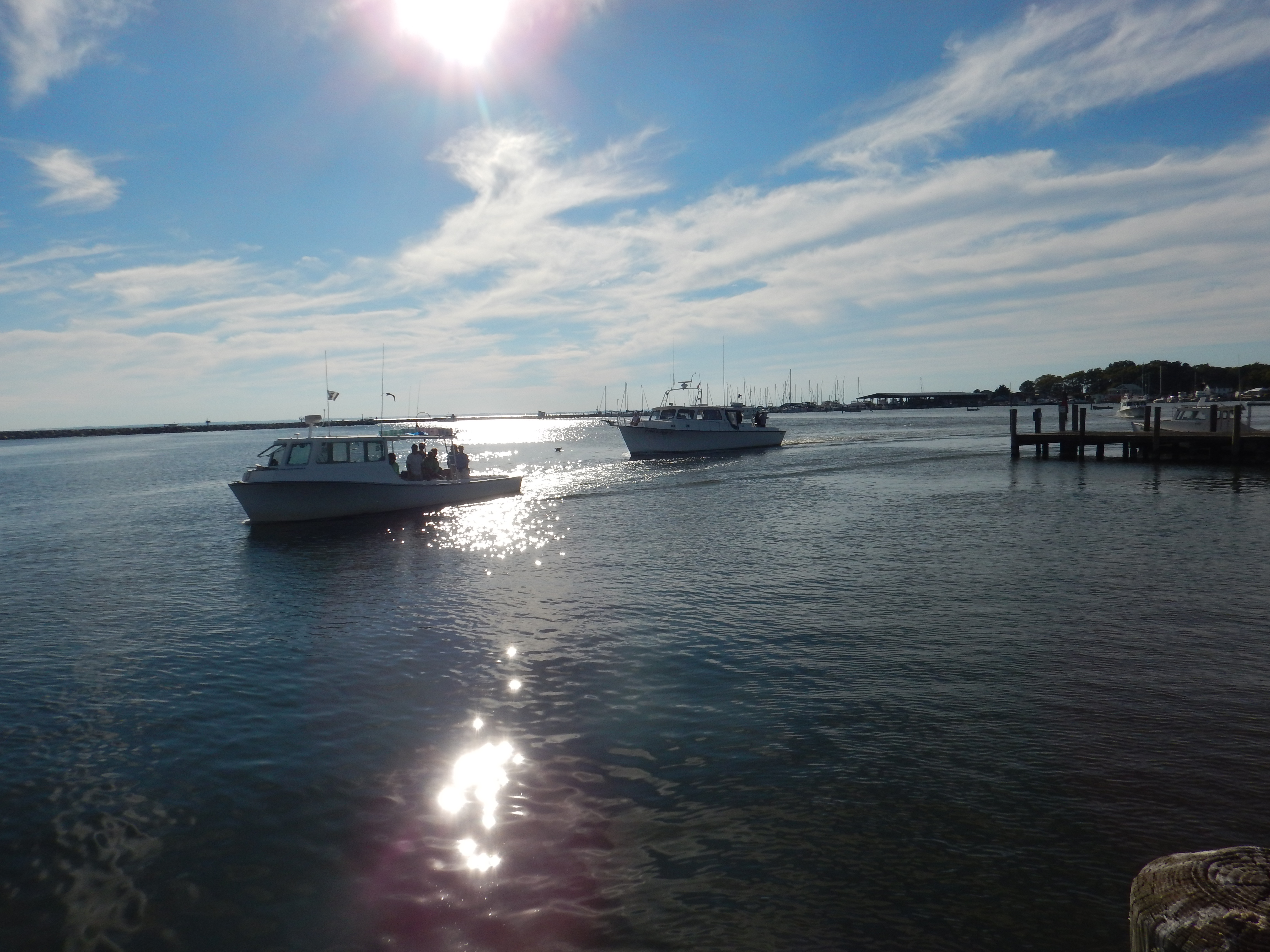
Rock Hall, MD
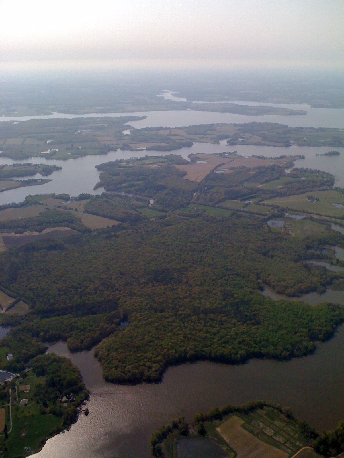
Day 3 of the trip 575

DSC_3659.JPG

Sunset, crab boil & bluegrass - good day #forkarl
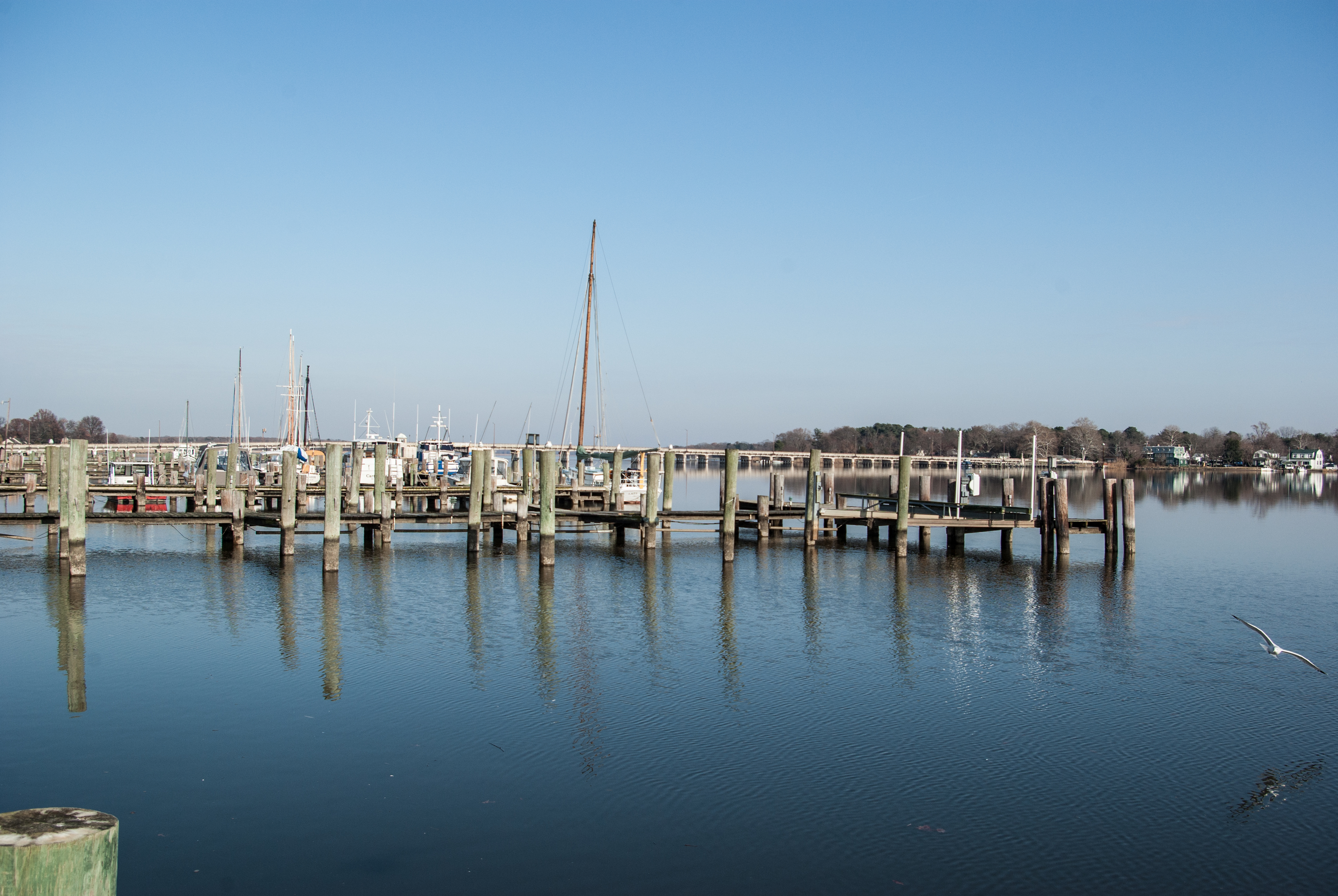
Chester River
DSC_3659.JPG

20170720-IMG_2239

20170720-IMG_2283

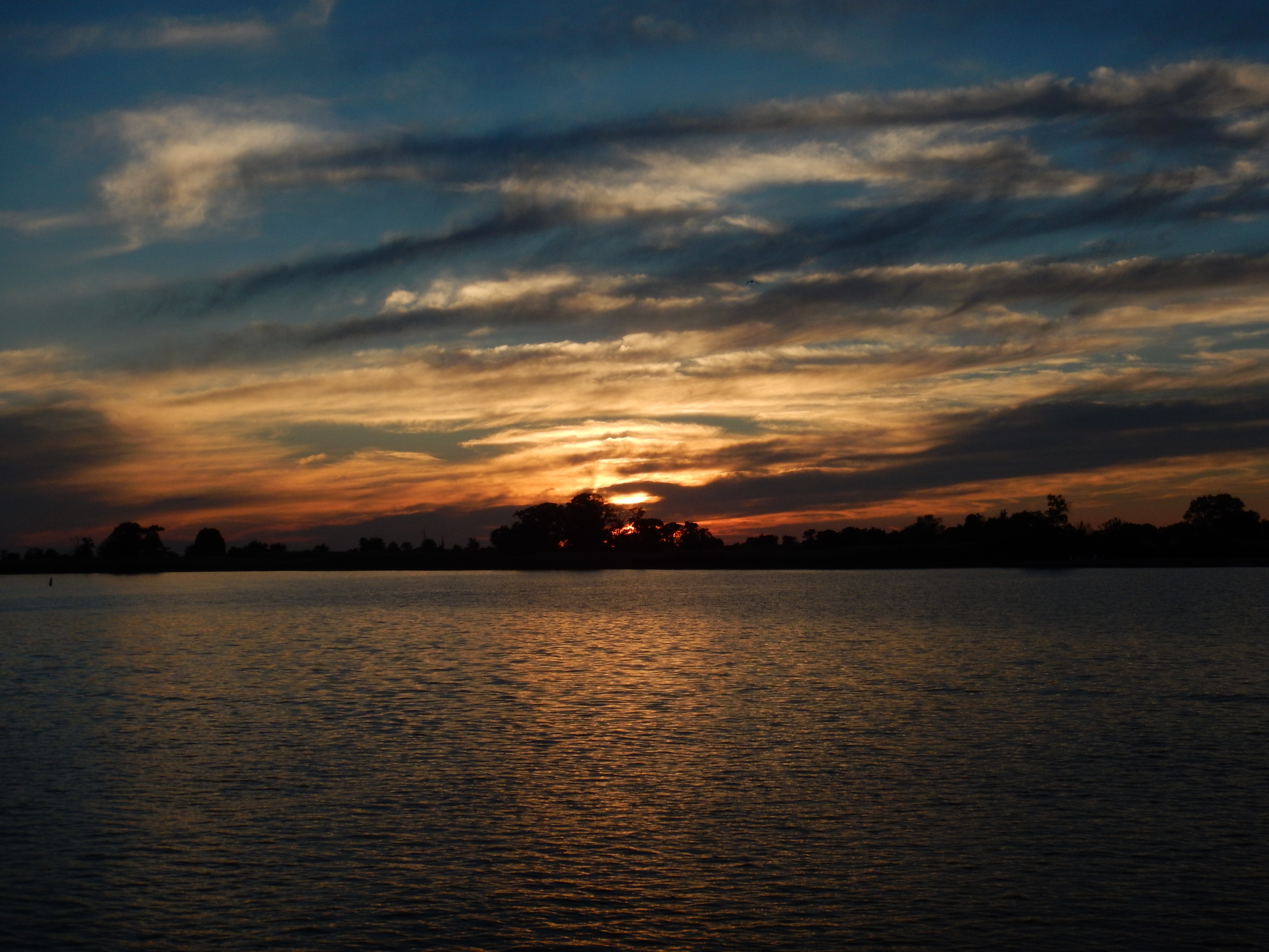
Shine Down
Topographic Map of Georgetown Rd, Chestertown, MD, USA
Find elevation by address:

Places near Georgetown Rd, Chestertown, MD, USA:
6, Fairlee
22354 Goose Hollow Dr
8666 Park Dr
Clarissa Rd, Chestertown, MD, USA
Camp Rd, Chestertown, MD, USA
Kent County
Chestertown, MD, USA
Orchard Dr, Chestertown, MD, USA
Worton
824 High St
920 Gateway Dr
8046 Quaker Neck Rd
Washington College
Chestertown
4, Chestertown
300 Washington Ave
Parson Hill Ct, Worton, MD, USA
222 Washington Ave
200 Washington Ave
119 Conley Dr
Recent Searches:
- Elevation of Corso Fratelli Cairoli, 35, Macerata MC, Italy
- Elevation of Tallevast Rd, Sarasota, FL, USA
- Elevation of 4th St E, Sonoma, CA, USA
- Elevation of Black Hollow Rd, Pennsdale, PA, USA
- Elevation of Oakland Ave, Williamsport, PA, USA
- Elevation of Pedrógão Grande, Portugal
- Elevation of Klee Dr, Martinsburg, WV, USA
- Elevation of Via Roma, Pieranica CR, Italy
- Elevation of Tavkvetili Mountain, Georgia
- Elevation of Hartfords Bluff Cir, Mt Pleasant, SC, USA