Elevation of Camp Rd, Chestertown, MD, USA

Location: United States > Maryland > Kent County > 6, Fairlee >

Longitude: -76.118613

Latitude: 39.213896

Elevation: 20m / 66feet

Barometric Pressure: 101KPa

Elevation Map:

elevation map of Camp Rd, Chestertown, MD, USA

Satellite Map:

Satellite map of Camp Rd, Chestertown, MD, USA

Related Photos:

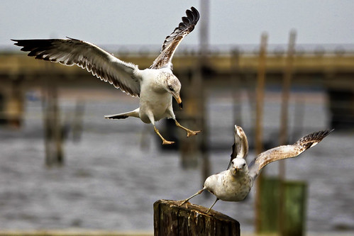
bird seagull maryland explore chestertown larusdelawarensis chesterriver kentcounty canonef100400mmf4556lisusm mywinners
Rude Arrival
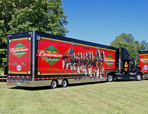
birthday usa festival america kent parade hunter bud budweiser smalltown 18wheeler ctown clydesdales 300th chesterriver kentcounty smalltownamerica budweiserclydesdales budweiserbeer chestertownmd chestertownmaryland truckpictures nflravens kentco wilmerpark kentcountymaryland shoreshotphotography chestertowns300thbirthday chestertowns300thbirthdayparade thefamousbudweiserclydesdales
BUDWEISER CLYDESDALES 18 WHEELER
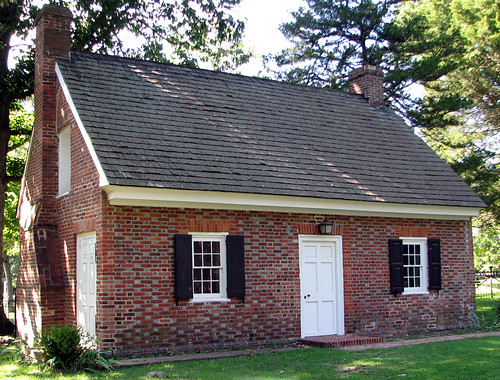
geotagged kent colonial maryland easternshore 18thcentury episcopal easton flemishbond eighteenth delmarva churchofengland
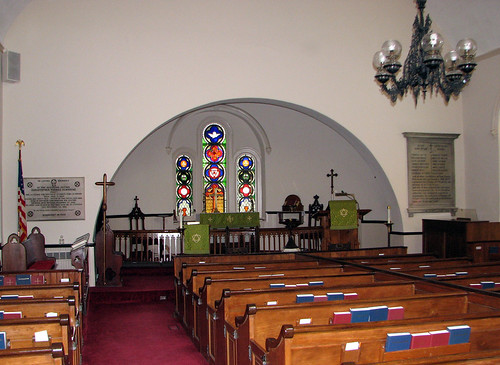
Vestry House, 1766
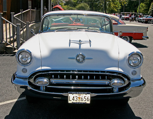
birthday classic festival kent parade hunter musclecars classiccars oldsmobile ctown antiquecars 300th antiqueautomobiles chesterriver kentcounty chestertownmd 1955oldsmobile chestertownmaryland nflravens kentco wilmerpark kentcountymaryland shoreshotphotography chestertowns300thbirthday chestertowns300thbirthdayparade
1955 OLDSMOBILE
usa church geotagged kent colonial maryland easternshore 18thcentury episcopal easton eighteenth delmarva churchofengland 1713
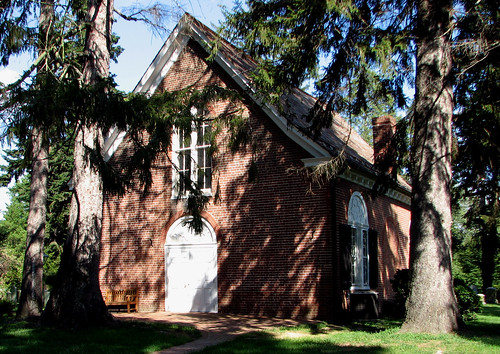
St. Paul's Episcopal Church, Kent County, Maryland
railroad usa abandoned geotagged kent ghost maryland easternshore chestertown delmarva
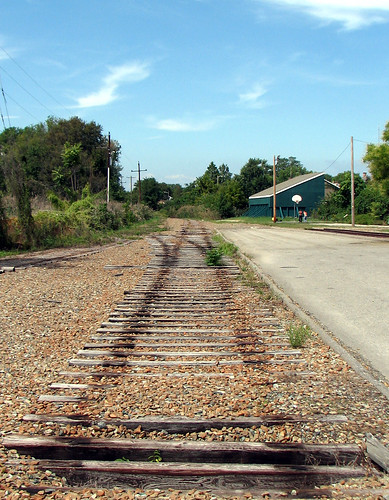
Ghost Railroad
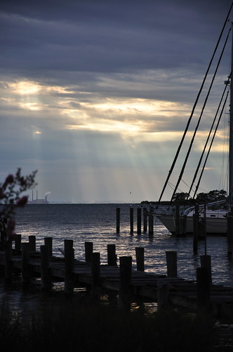
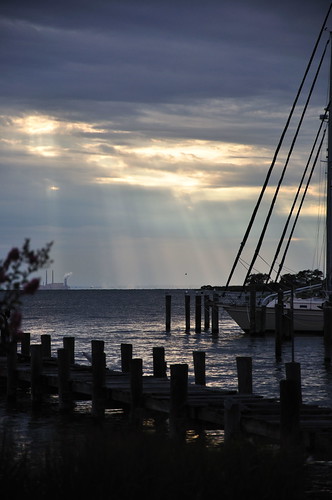
nikon jetty maryland easternshore d200 rockhall gratitude chesapeakebay chesapeakebaybridge kentcounty
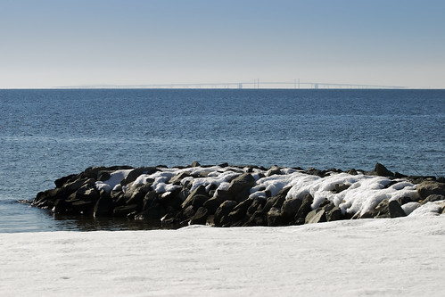
In the distance
church geotagged kent 17thcentury colonial maryland easternshore 18thcentury episcopal easton eighteenth delmarva churchofengland 1713 seventeenth
St. Paul's Episcopal Church, Kent County, Maryland
Rock Hall, MD
square squareformat iphoneography instagramapp uploaded:by=instagram foursquare:venue=4ec07a5e93ad36d7a9627ba7
Image created with #Snapseed
Day 3 of the trip 536
Rock Hall, MD
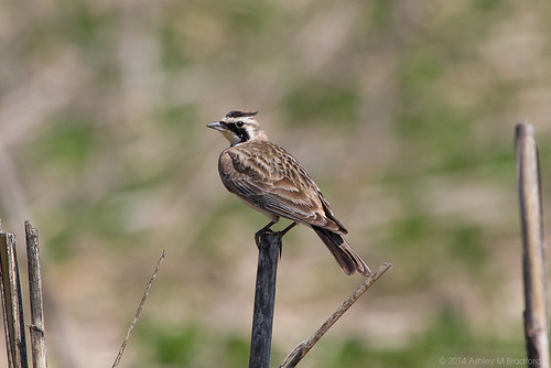
bird birds animal animals md maryland aves 7d 100400mm animalia hola passeriformes hornedlark shorelark passerine eremophilaalpestris eremophila chordata alaudidae img9881 taxonomy:binomial=eremophilaalpestris andelotfarmbioblitz
Horned Lark
mobileupload
IMG_0361.JPG
365
123/365 103109
mobileupload
IMG_0362.JPG
Laura's Graduation Weekend
sunset chesapeakebay rockhallsummer2010
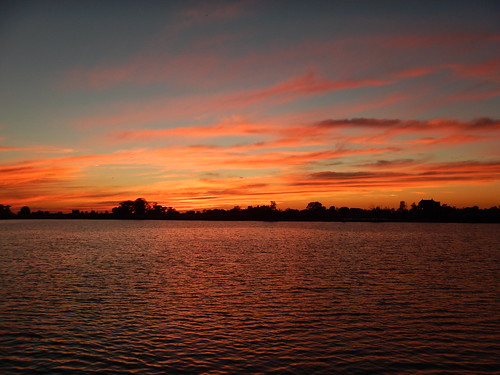
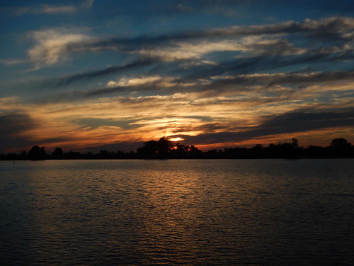
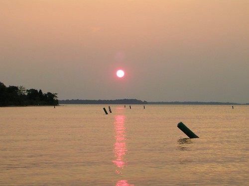
Sunset over the bay
sunset chesapeakebay rockhallsummer2010
Sunset on the Chesapeake Bay
square squareformat iphoneography instagramapp uploaded:by=instagram foursquare:venue=4bb4c514a70595213ea51bce
Sunset, crab boil & bluegrass - good day #forkarl
Rock Hall, MD
sunset boat ryan 4thofjuly
Sunset on the bay
unitedstates maryland chestertown
Chester River
Day 3 of the trip 575
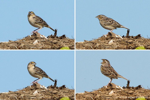
bird birds animal animals md maryland aves sparrow 7d sparrows 100400mm animalia emberizidae passeriformes grasshoppersparrow ammodramussavannarum passerine grsp chordata passerines ammodramus img9719 img9733 img9721 img9729 taxonomy:binomial=ammodramussavannarum andelotfarmbioblitz
Lifebird #548 / #359
bird field birds animals unitedstates farm conservation maryland places things science galleries collections oxford environment restoration states geography agriculture waterfowl partnership sets canadagoose brantacanadensis actions snowgeese foraging snowgoose princegeorgescounty chencaerulescens kentcounty plantsanimals uppermarlboro geocity geo:country=unitedstates camera:make=canon exif:make=canon businesscommerce animalsgallery geostate chesapeakebayprogram exif:lens=ef100400mmf4556lisusm exif:model=canoneosrebelt2i camera:model=canoneosrebelt2i exif:aperture=ƒ56 exif:isospeed=200 exif:focallength=400mm
Canada geese and snow geese in agriculture field 01
wedding sunset
DSC_3659.JPG
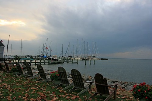
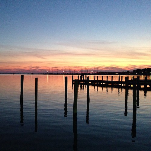
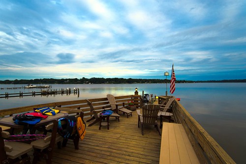
sunset water clouds river pier dock nikon chestertown d600 superwide chestertownmaryland nikond600 nikon1835mmf3545g
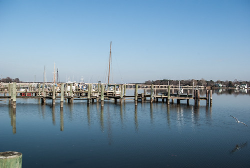
Dusk on the River
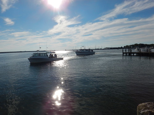
usa river maryland chesterriver
River, USA