Elevation of Georgetown, NY, USA
Location: United States > New York > Madison County >
Longitude: -75.737149
Latitude: 42.7615627
Elevation: 421m / 1381feet
Barometric Pressure: 96KPa
Elevation Map:
Satellite Map:
Related Photos:

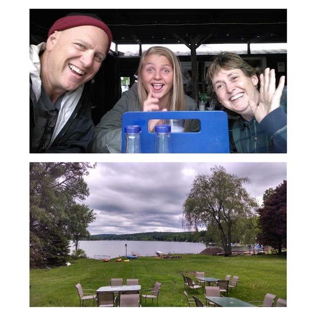
Andrew Flynn

Opera House

Upper And Lower Views Of Upperville Falls

Side View

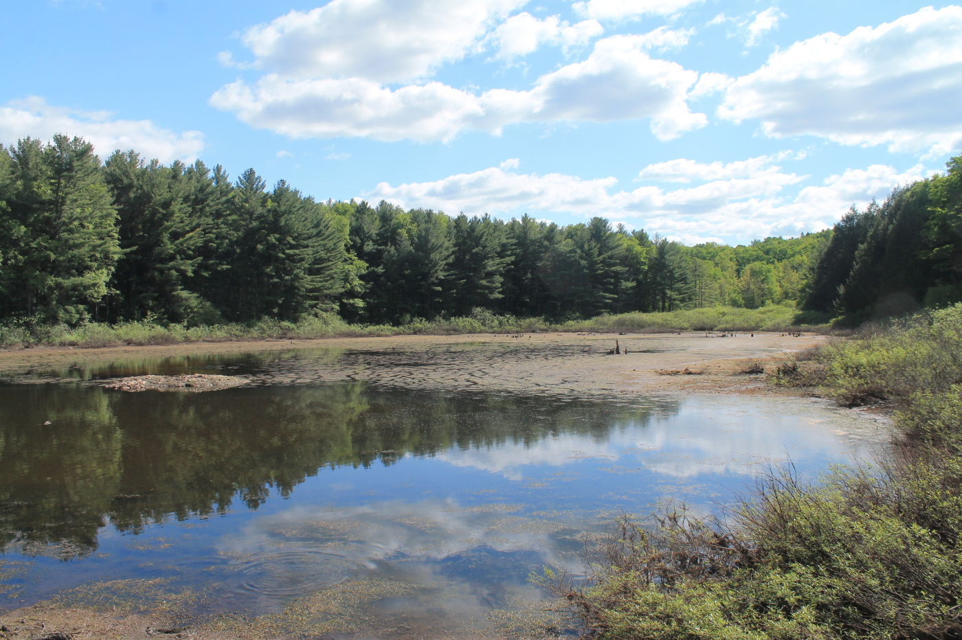
Another View of the Swamp

Andrew Flynn

Andrew Flynn

Andrew Flynn
Casanovia-Area Tour Guide Cousin Bonnie Only Takes Us To The Best Local Spots For A Bite Libation Lake View

This is New York

#view from my room #discoverihg #binghamton #southerntier #newyork

#roadslikethese: Corkinsville Rd, New Woodstock, NY

DeRuyter Reservoir #DeRuyterLake #urbangangfamily #NewYork #upstateny #NY #ilovenewyork#HTC #htcevo4glte #iloveny #ruralgangfamily #outdoors#nyoutdoors #cloudporn #skyporn

West Shore RR Bridge Abutments

Under The Bridge At Upperville Falls

DeRuyter Reservoir #NewYork #upstate #MadisonCounty #skysnappers #skyporn #cloudporn #htcevo4glte #HTC #htcusa #ilovenewyork #landscapelovers

South of the Railroad Bridge

spruce, i
Small Pond Next To Stony Pond

Beautiful Natural Walkway

Back Gardens
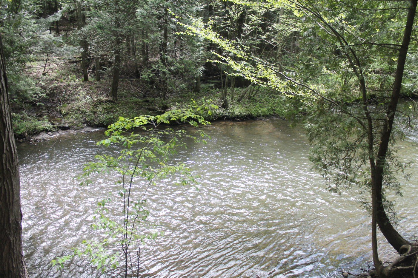
Chittenango Creek

Power of Mother Nature

Shallow Pond Next to Stony Pond

Stoney Pond from the Dam

Colgate, the nearby Chenango Canal
Topographic Map of Georgetown, NY, USA
Find elevation by address:

Places near Georgetown, NY, USA:
Georgetown
Otselic
2911 Ny-26
1606 Chapin Rd
2840 County Rd 16
3086 County Rd 16
2396 Firetower Rd
S Lebanon Rd, Earlville, NY, USA
2479 Erieville Rd
Erieville
2600 Erieville Rd
Lebanon
Carpenter Rd, Deruyter, NY, USA
2918 Tuscarora Rd
Chaphe Hill Road
County Highway 67
Deruyter
NY-13, New Woodstock, NY, USA
5283 Paddleford Rd
2126 Crumb Hill Rd
Recent Searches:
- Elevation of Corso Fratelli Cairoli, 35, Macerata MC, Italy
- Elevation of Tallevast Rd, Sarasota, FL, USA
- Elevation of 4th St E, Sonoma, CA, USA
- Elevation of Black Hollow Rd, Pennsdale, PA, USA
- Elevation of Oakland Ave, Williamsport, PA, USA
- Elevation of Pedrógão Grande, Portugal
- Elevation of Klee Dr, Martinsburg, WV, USA
- Elevation of Via Roma, Pieranica CR, Italy
- Elevation of Tavkvetili Mountain, Georgia
- Elevation of Hartfords Bluff Cir, Mt Pleasant, SC, USA