Elevation of Chapin Rd, Georgetown, NY, USA
Location: United States > New York > Madison County > Georgetown >
Longitude: -75.770458
Latitude: 42.7903779
Elevation: 569m / 1867feet
Barometric Pressure: 95KPa
Elevation Map:
Satellite Map:
Related Photos:

Upper And Lower Views Of Upperville Falls

Side View

Andrew Flynn

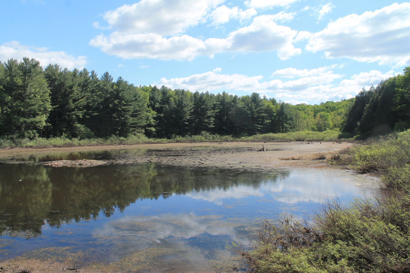
Another View of the Swamp

Andrew Flynn

Andrew Flynn

Andrew Flynn
Casanovia-Area Tour Guide Cousin Bonnie Only Takes Us To The Best Local Spots For A Bite Libation Lake View

Fabius Farm

Mittens the Destroyer

Skyline Lodge View

The nice lady who hosts our church picnic has a magnificent view from her back porch. @Delphi Falls

Ice plex

#view from my room #discoverihg #binghamton #southerntier #newyork

October 13th

November 21st

#roadslikethese: Corkinsville Rd, New Woodstock, NY

DeRuyter Reservoir #DeRuyterLake #urbangangfamily #NewYork #upstateny #NY #ilovenewyork#HTC #htcevo4glte #iloveny #ruralgangfamily #outdoors#nyoutdoors #cloudporn #skyporn

West Shore RR Bridge Abutments

Under The Bridge At Upperville Falls
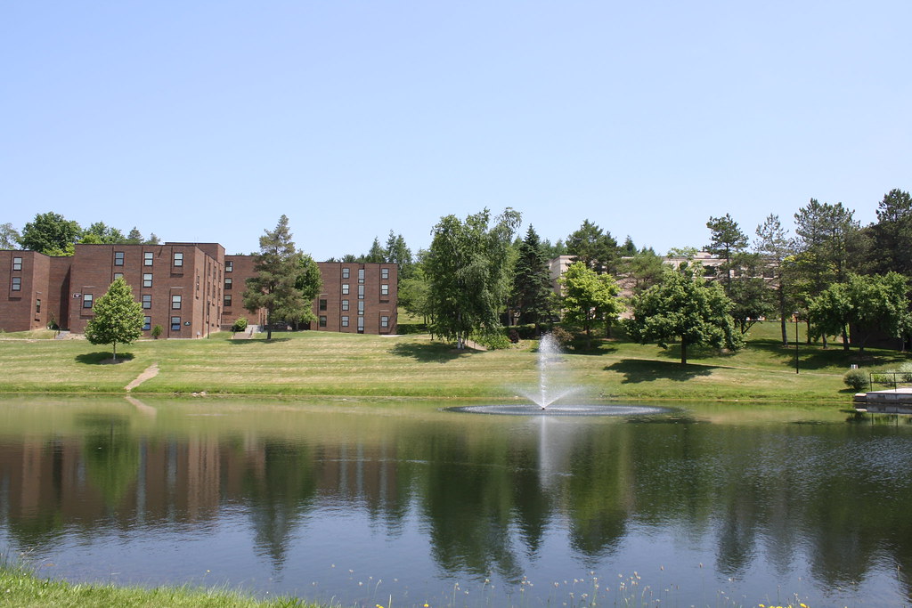
Around Campus

DeRuyter Reservoir #NewYork #upstate #MadisonCounty #skysnappers #skyporn #cloudporn #htcevo4glte #HTC #htcusa #ilovenewyork #landscapelovers

South of the Railroad Bridge
Small Pond Next To Stony Pond

Beautiful Natural Walkway

Back Gardens
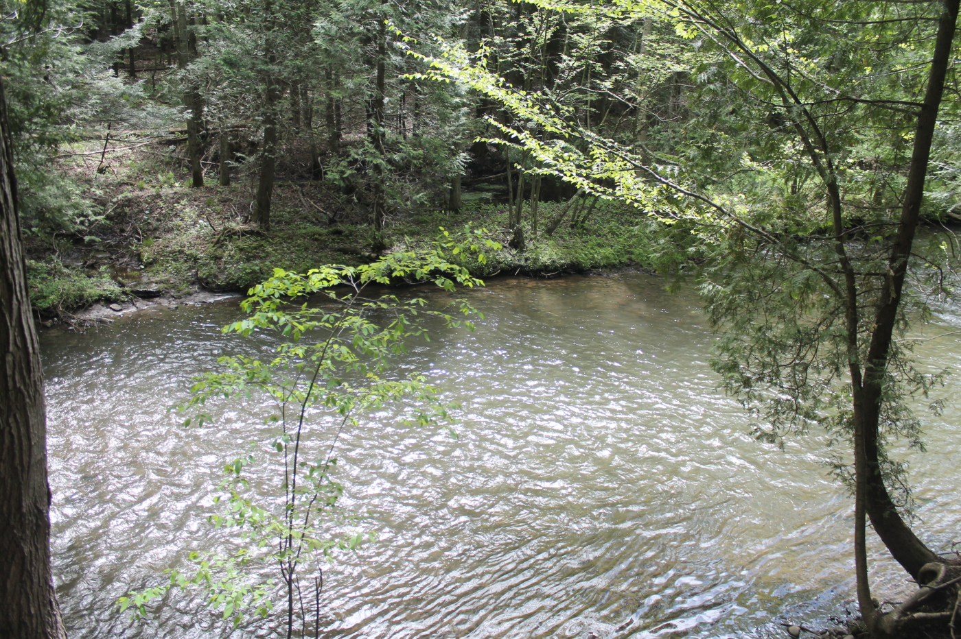
Chittenango Creek

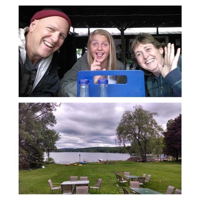
Good end to a good vacation.

Top of the Hill to you!
Topographic Map of Chapin Rd, Georgetown, NY, USA
Find elevation by address:

Places near Chapin Rd, Georgetown, NY, USA:
Georgetown
Georgetown
2396 Firetower Rd
2479 Erieville Rd
Erieville
2600 Erieville Rd
3086 County Rd 16
NY-13, New Woodstock, NY, USA
Deruyter
County Highway 67
2918 Tuscarora Rd
2840 County Rd 16
Carpenter Rd, Deruyter, NY, USA
Chaphe Hill Road
Tuscarora Lake
2911 Ny-26
3095 Hall Rd
Otselic
2126 Crumb Hill Rd
Damon Road
Recent Searches:
- Elevation of Corso Fratelli Cairoli, 35, Macerata MC, Italy
- Elevation of Tallevast Rd, Sarasota, FL, USA
- Elevation of 4th St E, Sonoma, CA, USA
- Elevation of Black Hollow Rd, Pennsdale, PA, USA
- Elevation of Oakland Ave, Williamsport, PA, USA
- Elevation of Pedrógão Grande, Portugal
- Elevation of Klee Dr, Martinsburg, WV, USA
- Elevation of Via Roma, Pieranica CR, Italy
- Elevation of Tavkvetili Mountain, Georgia
- Elevation of Hartfords Bluff Cir, Mt Pleasant, SC, USA