Elevation of Georgetown, ME, USA
Location: United States > Maine > Sagadahoc County >
Longitude: -69.752359
Latitude: 43.8021196
Elevation: 4m / 13feet
Barometric Pressure: 101KPa
Elevation Map:
Satellite Map:
Related Photos:
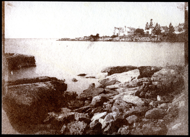
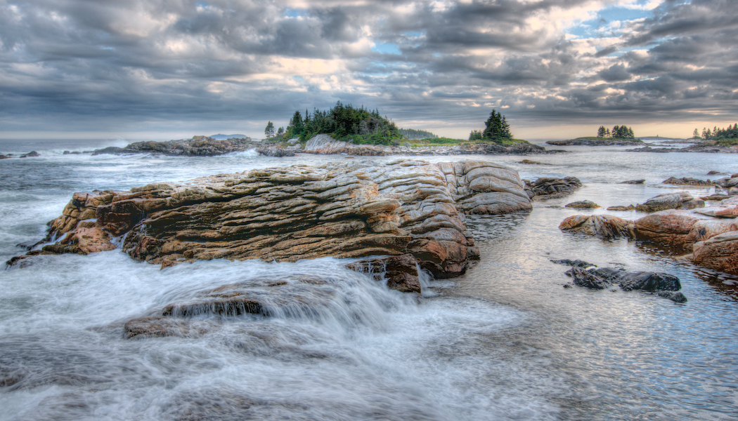
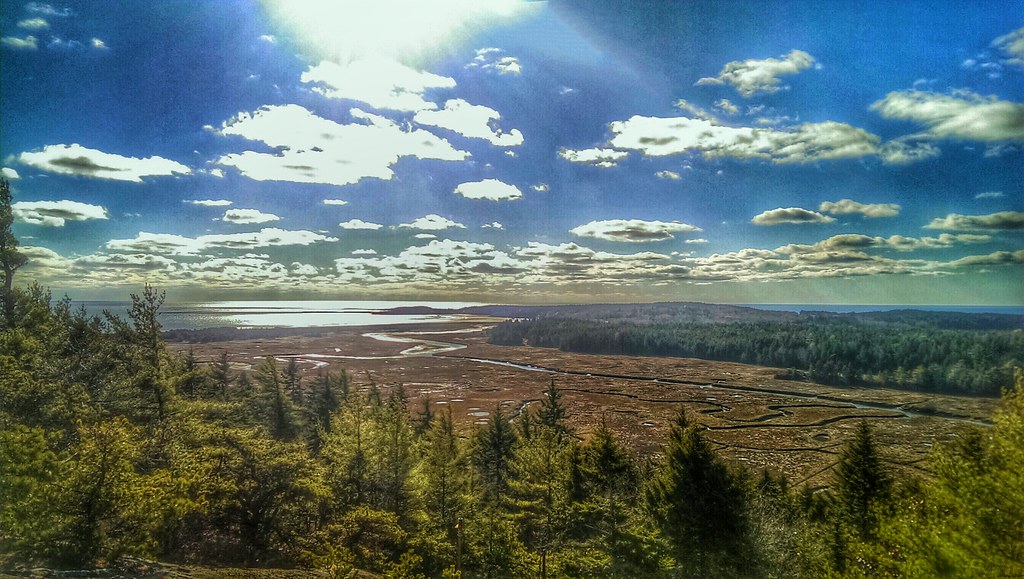
Boothbay coast
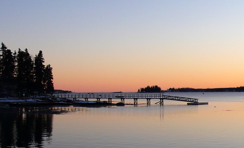
Caution - Low Flying Clouds
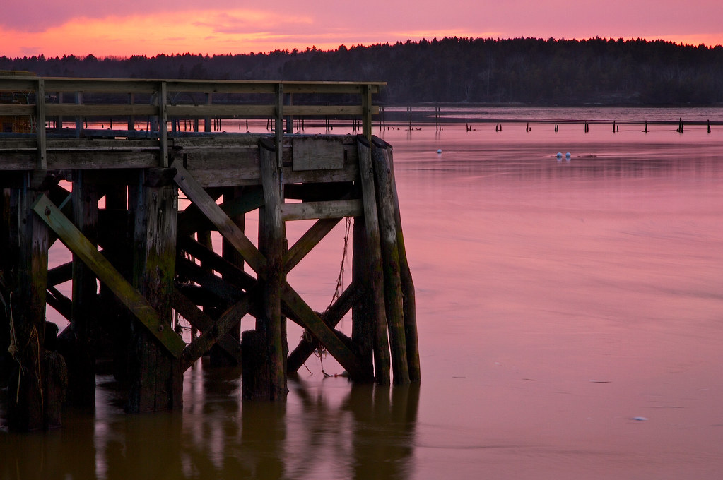
Seguin Island Light
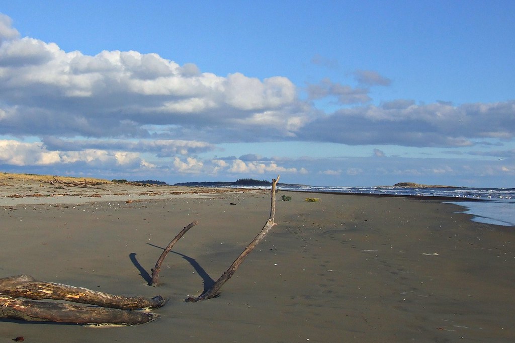
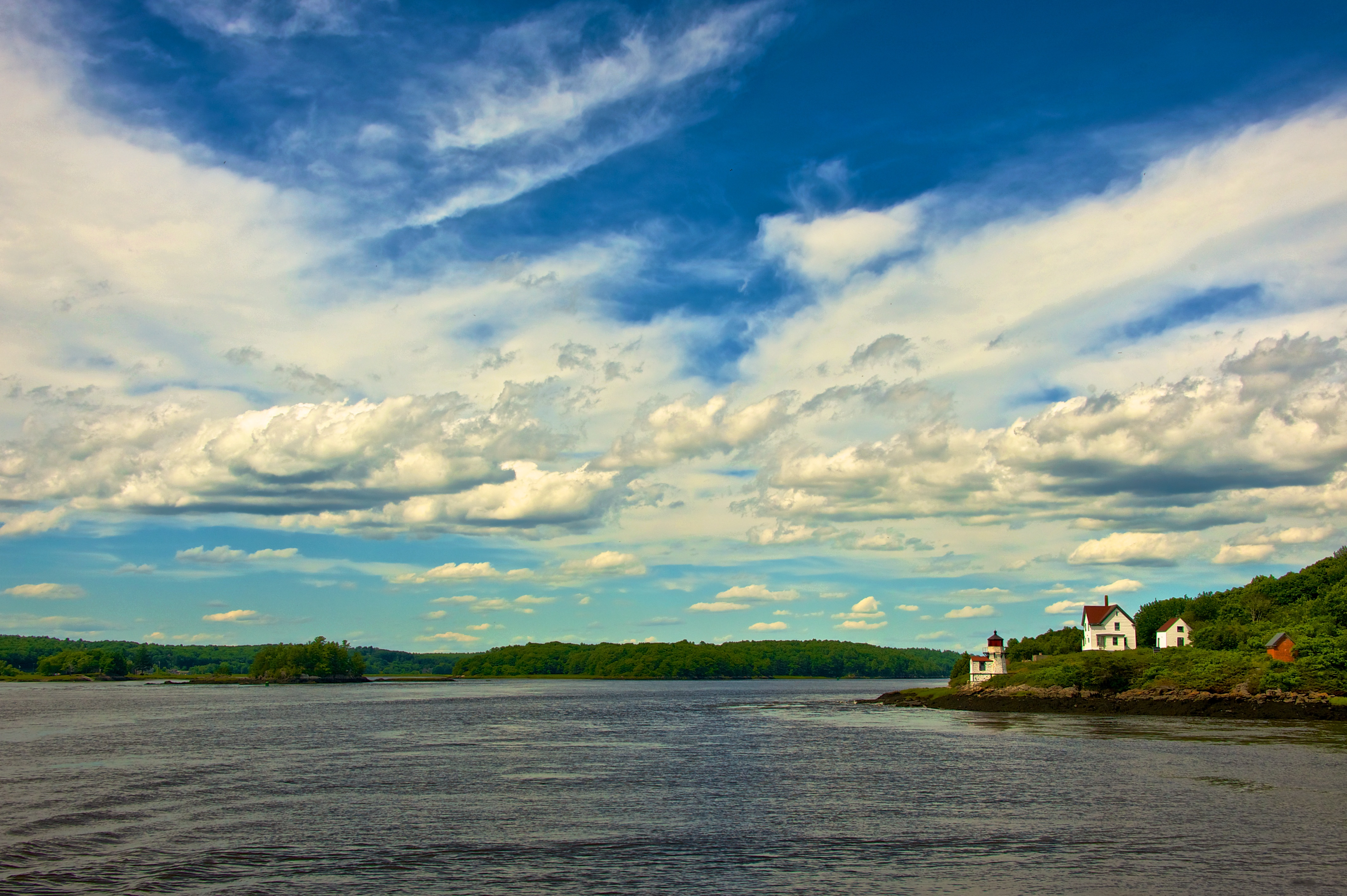
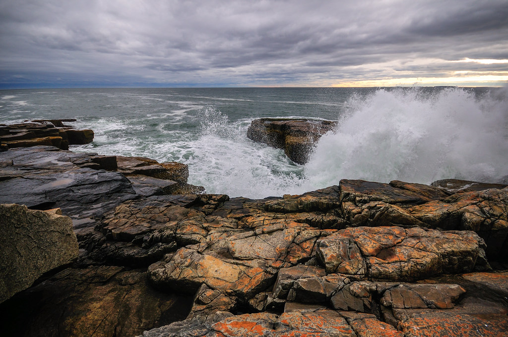
Surfs Up
Walk with Me

The Sentinel
they went that way :-{0}>

Stars Trails Over The Matterhorn
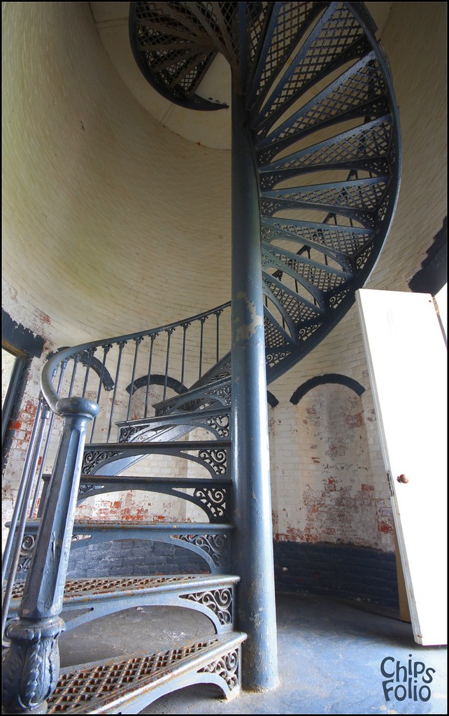
Seguin Island Light Staircase
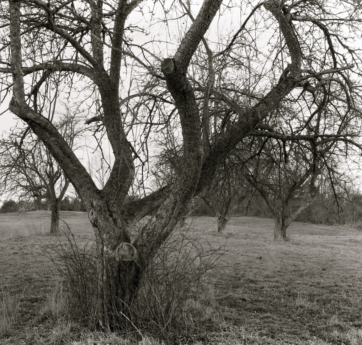
Orchard Hill, West Bath
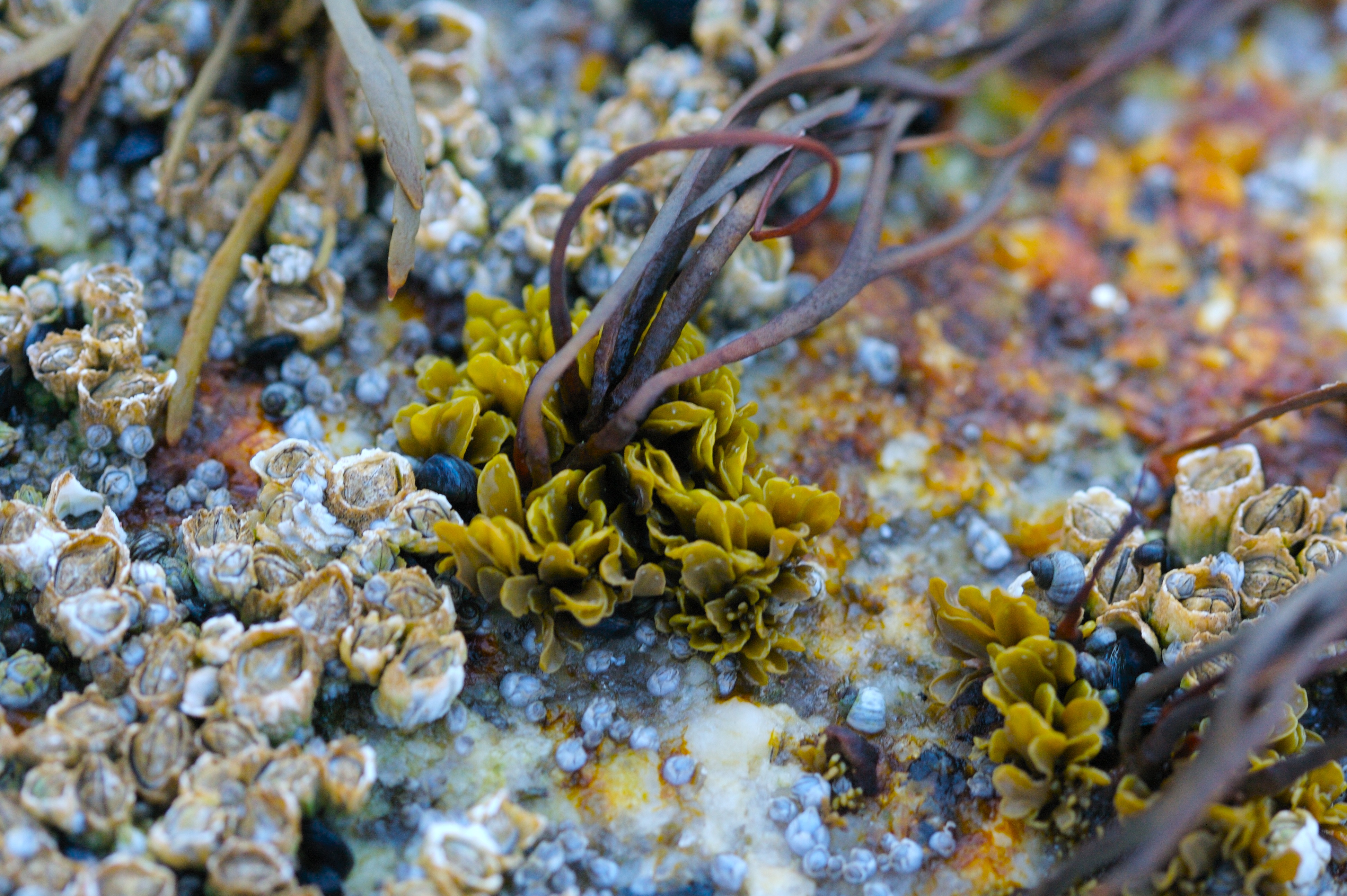
Tide Pooling Seaweed
No Man Is An Island

Dragonfly - Coastal Maine Botanical Gardens, USA

Storm Rolling In
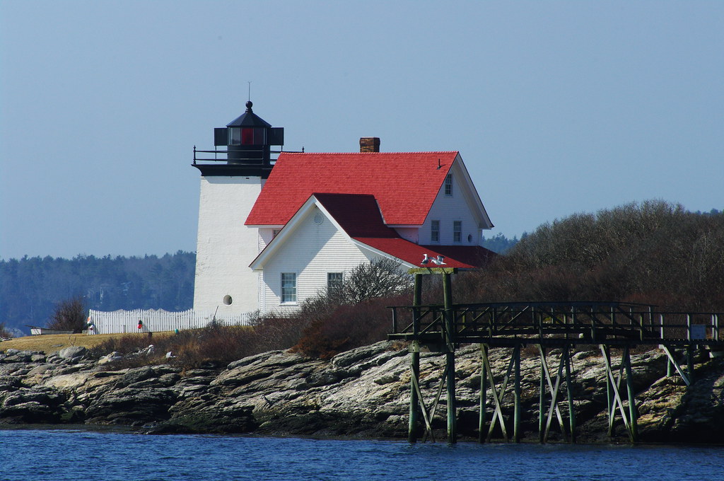
Hendricks Head Light

Schooner Wyoming
April Ice Receding, West Bath

FV Amaretto BoothbayME 7-29-1982b
Small land. Big view. Private property.
10-12 Maine
Fort Popham, Phippsburg, Maine
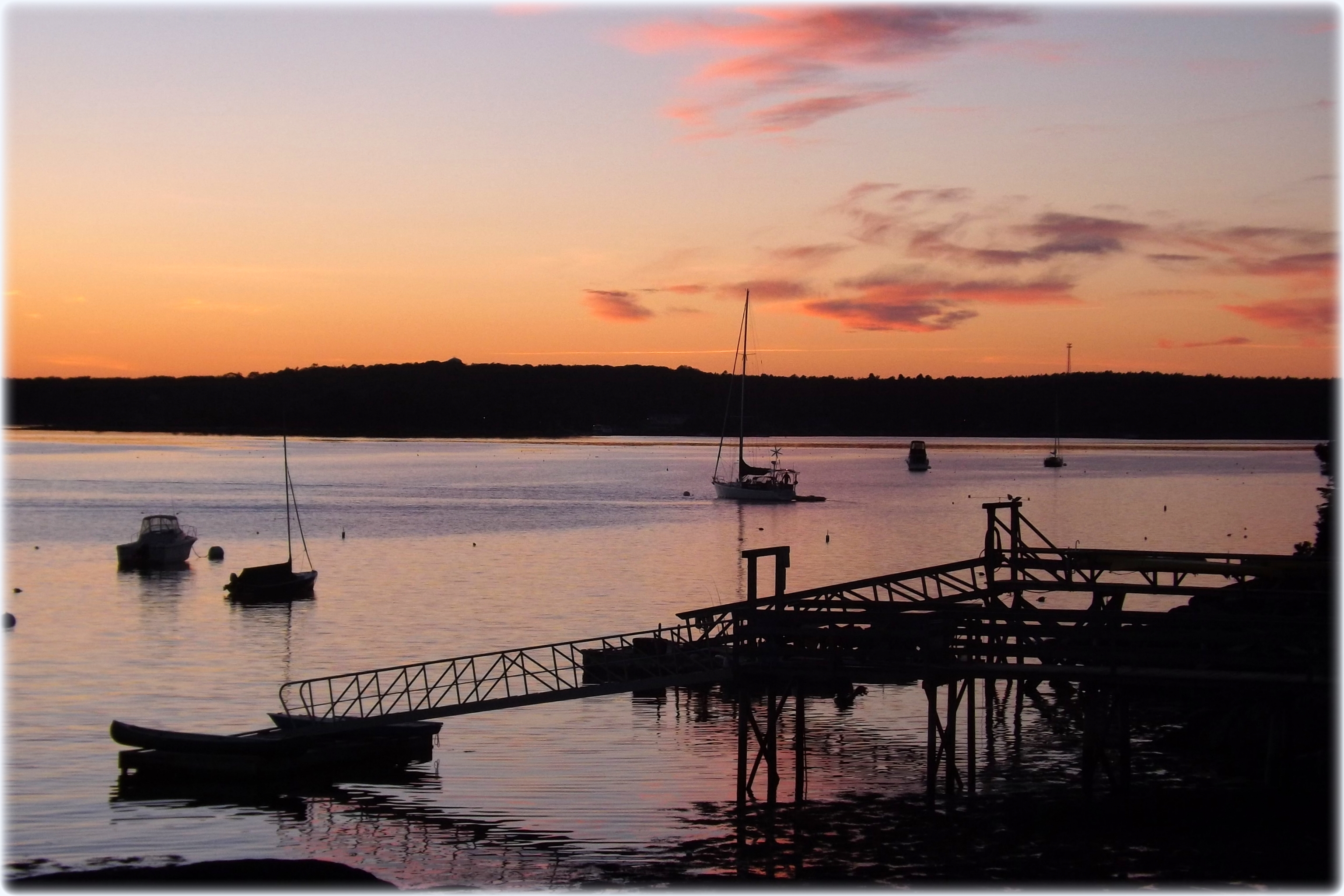
Pink sunset ...
Overlooking the Atlantic Ocean (phone HDR shot)
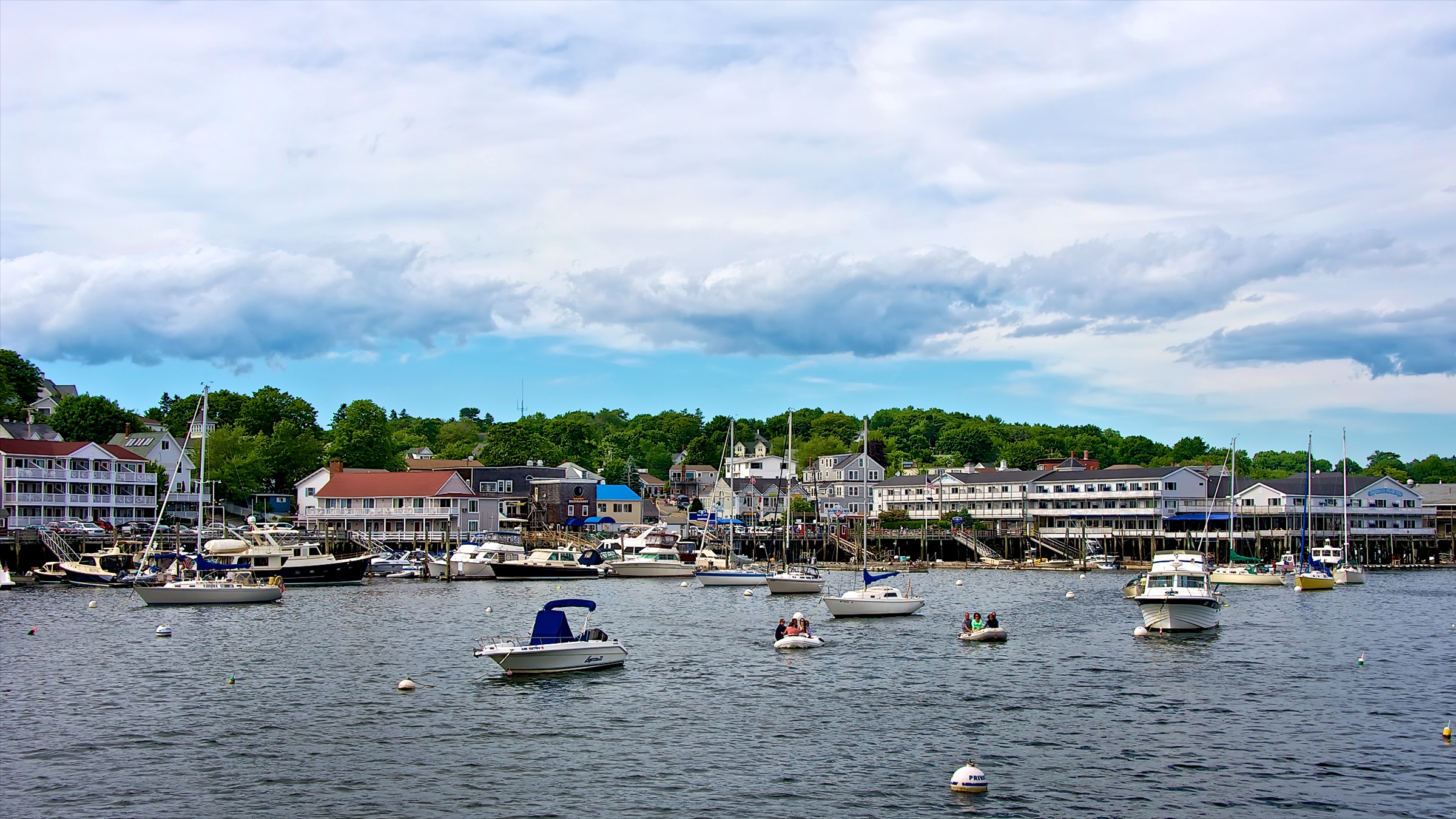
Boothbay Harbor, Maine
Seasonal Limbo
Squirrel Point Light Station
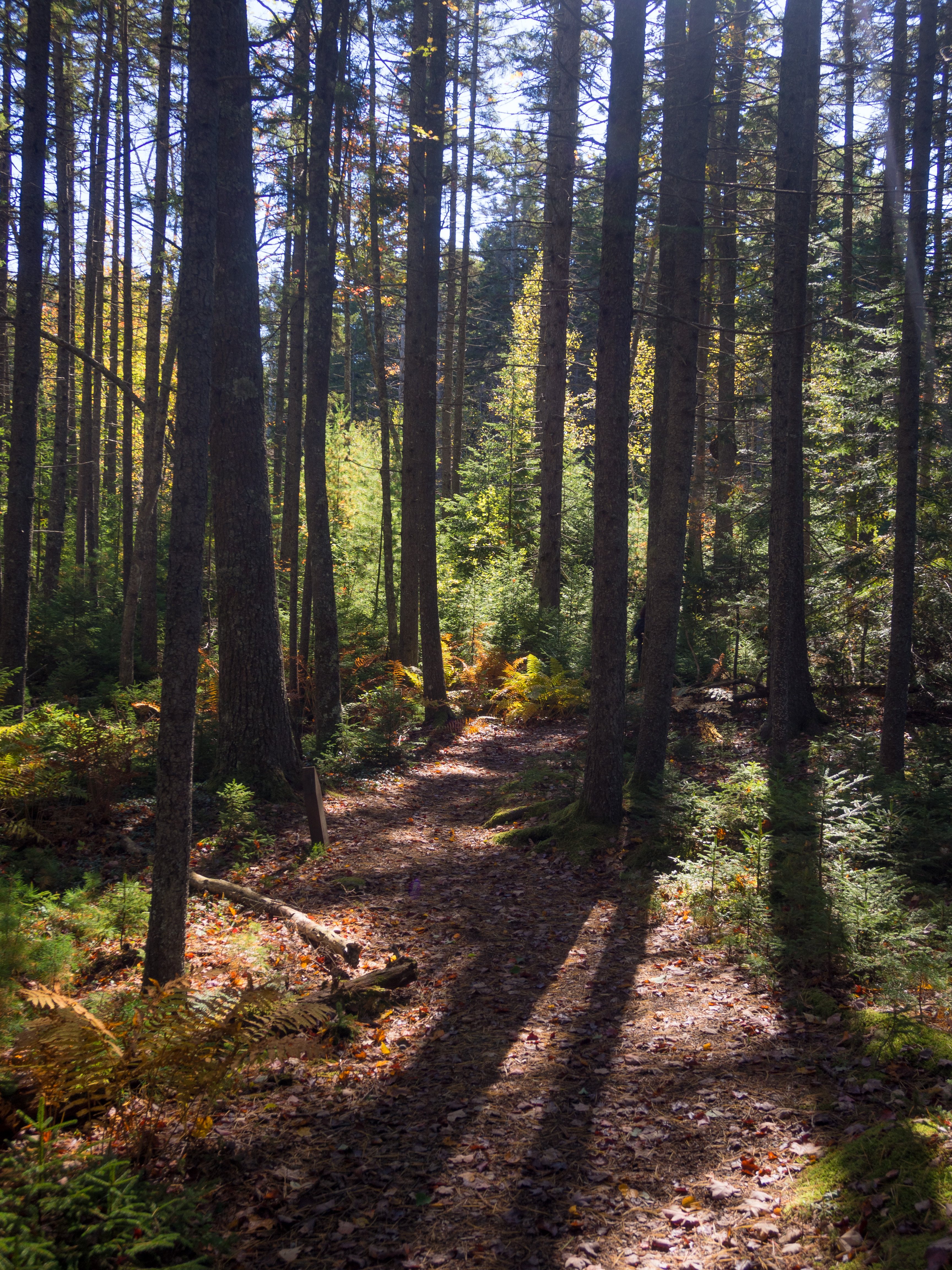
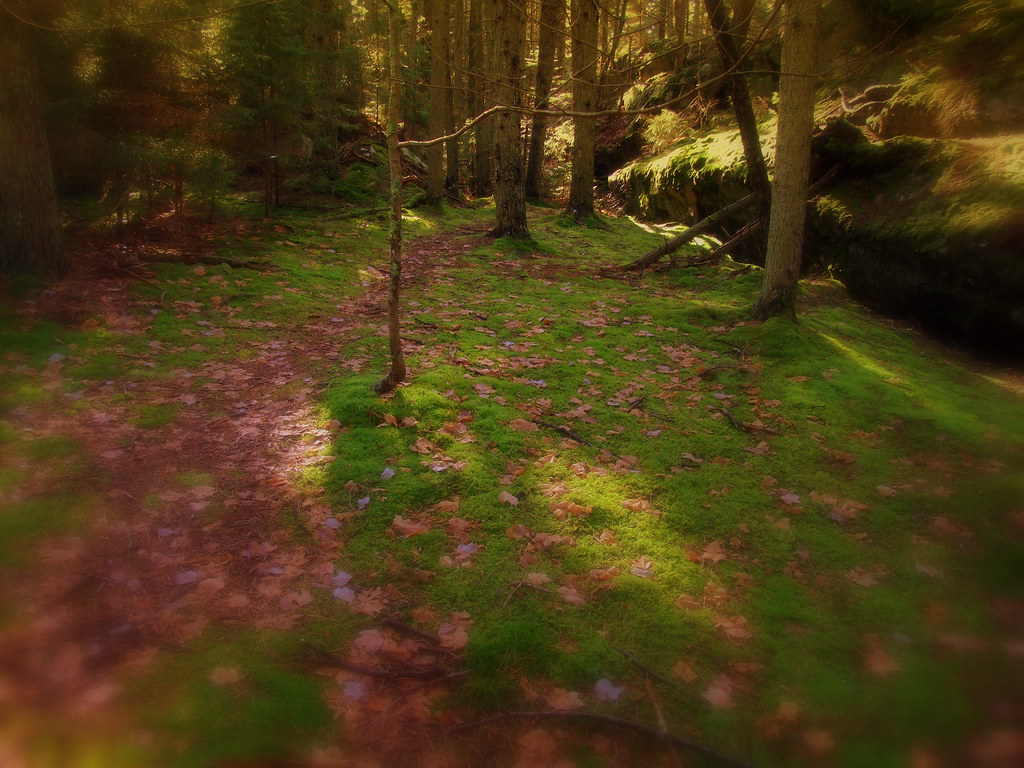
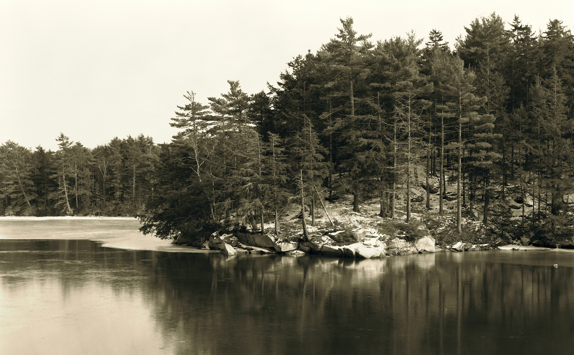
Forest track

Harbor Lights, Boothbay Harbor, Maine
Boothbay Harbor
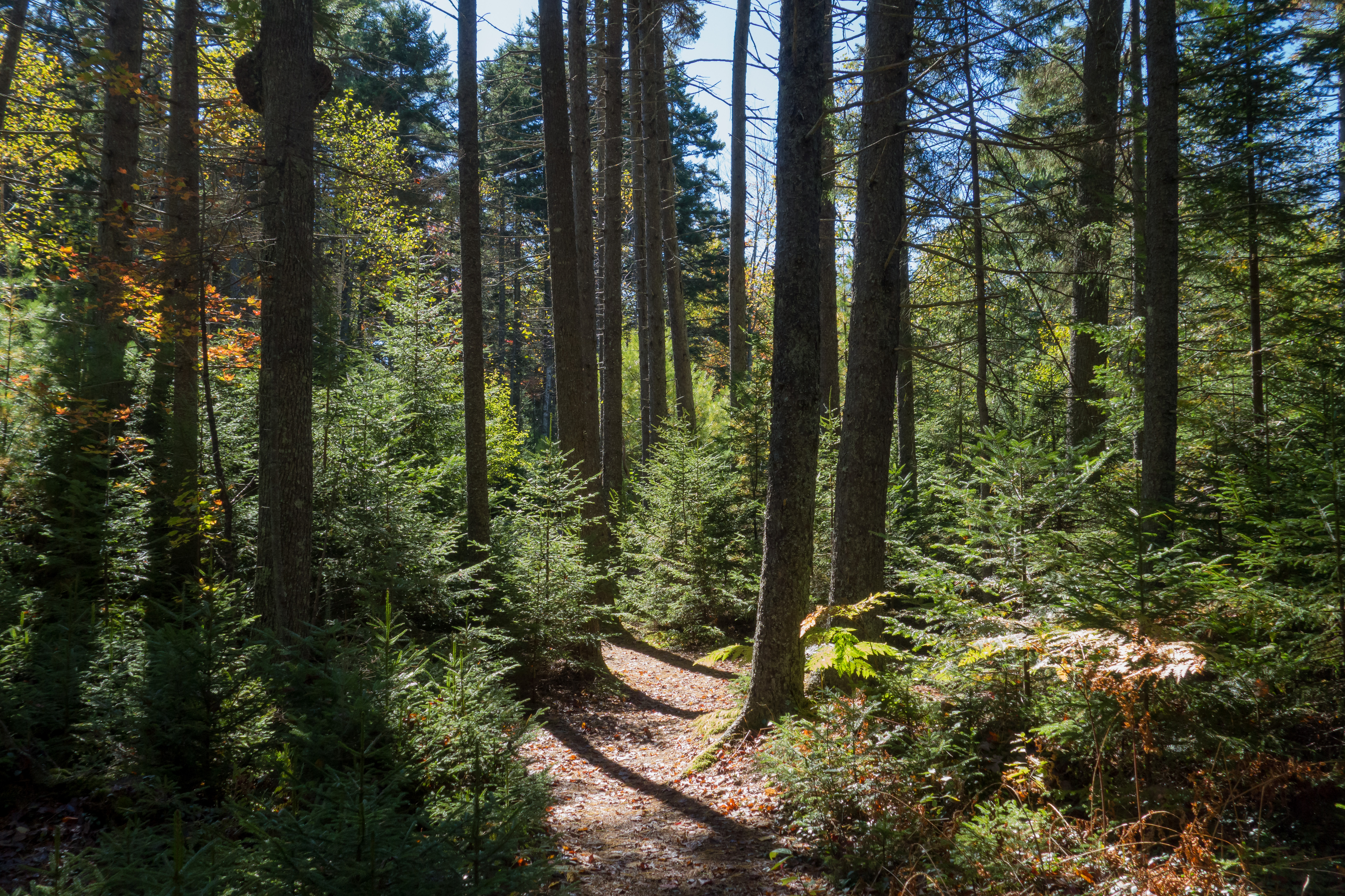
Forest track (2)
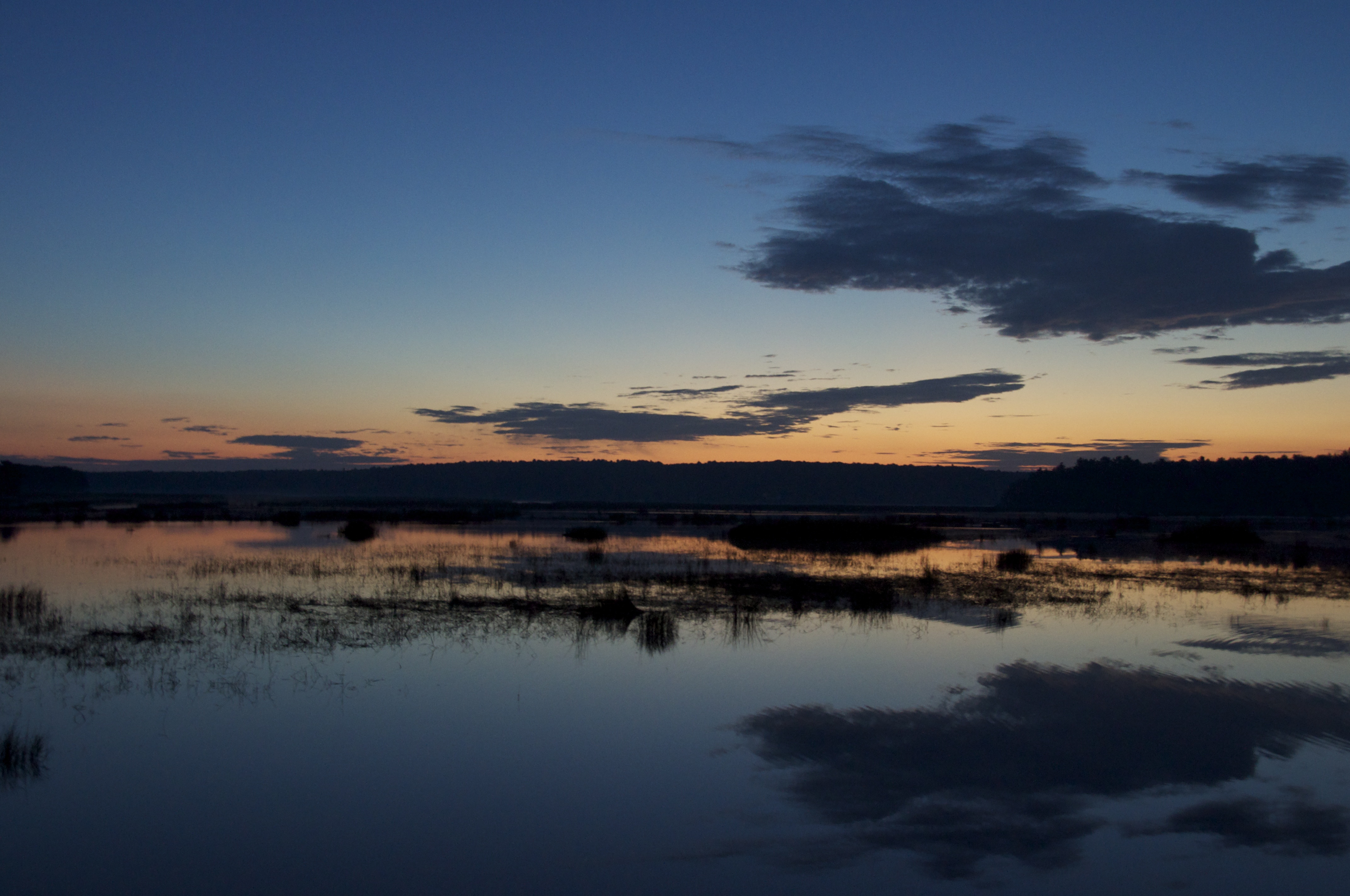
Sprague River Mouth
Schoodic Peninsula
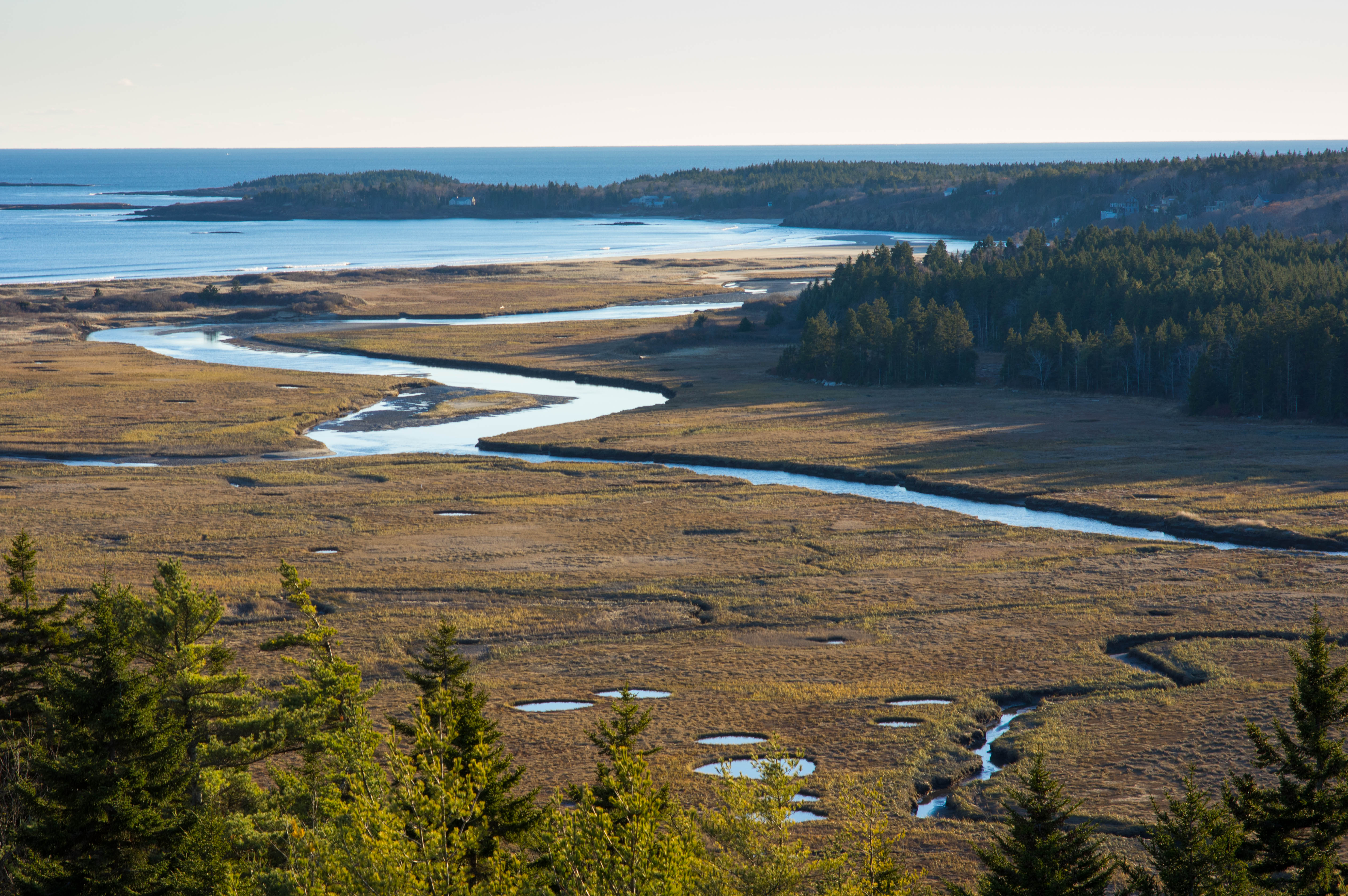
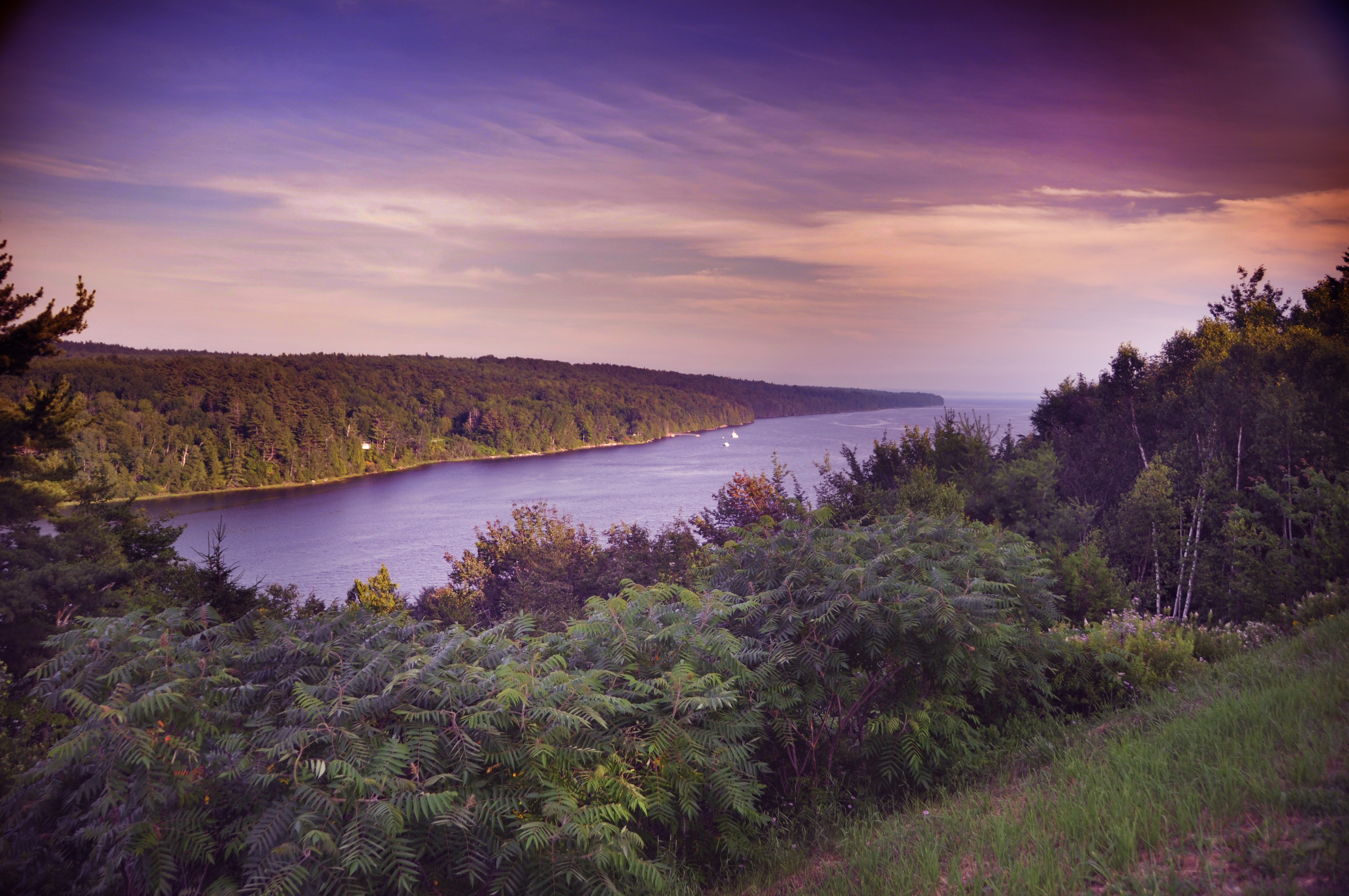
Reid State Park
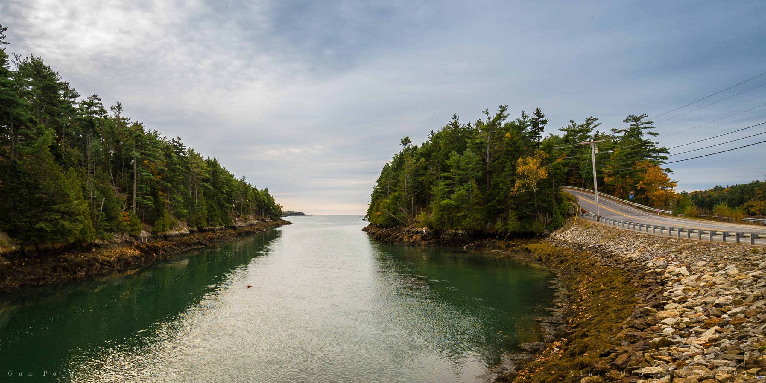
Gun Point Cove - Maine
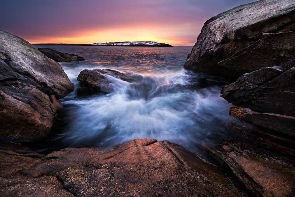
Pre-Dawn Glimmer

Atlantic reflections

2014-08-28 19.10.05_edited-1

IMG_1108.JPG

in search of the miraculous DSC_0206_2356
Smuggler's Cove, Boothbay Aug 2013 (45)
Southern Maine

Doubling Point Lighthouse - Arrowsic, Maine, USA
Topographic Map of Georgetown, ME, USA
Find elevation by address:

Places in Georgetown, ME, USA:
Places near Georgetown, ME, USA:
860 5 Islands Rd
58 Birch Island Ln
255 Marrtown Rd
Marrtown Rd, Georgetown, ME, USA
Sagadahoc County
North End Road
Narrows Way
Parker Head Rd, Phippsburg, ME, USA
Arrowsic
Phippsburg
ME-27, Southport, ME, USA
Old Stage Rd, Arrowsic, ME, USA
80 Captain Perry Dr
98 Cross Rd
Hunting Island
6 Kingfisher Cove
Southport
58 ME-27, Southport, ME, USA
74 Isle Of Springs Rd
471 Barley Neck Rd
Recent Searches:
- Elevation of Corso Fratelli Cairoli, 35, Macerata MC, Italy
- Elevation of Tallevast Rd, Sarasota, FL, USA
- Elevation of 4th St E, Sonoma, CA, USA
- Elevation of Black Hollow Rd, Pennsdale, PA, USA
- Elevation of Oakland Ave, Williamsport, PA, USA
- Elevation of Pedrógão Grande, Portugal
- Elevation of Klee Dr, Martinsburg, WV, USA
- Elevation of Via Roma, Pieranica CR, Italy
- Elevation of Tavkvetili Mountain, Georgia
- Elevation of Hartfords Bluff Cir, Mt Pleasant, SC, USA