Elevation of Geneva, IN, USA
Location: United States > Indiana > Adams County > Wabash Township >
Longitude: -84.958787
Latitude: 40.5919904
Elevation: 258m / 846feet
Barometric Pressure: 98KPa
Elevation Map:
Satellite Map:
Related Photos:
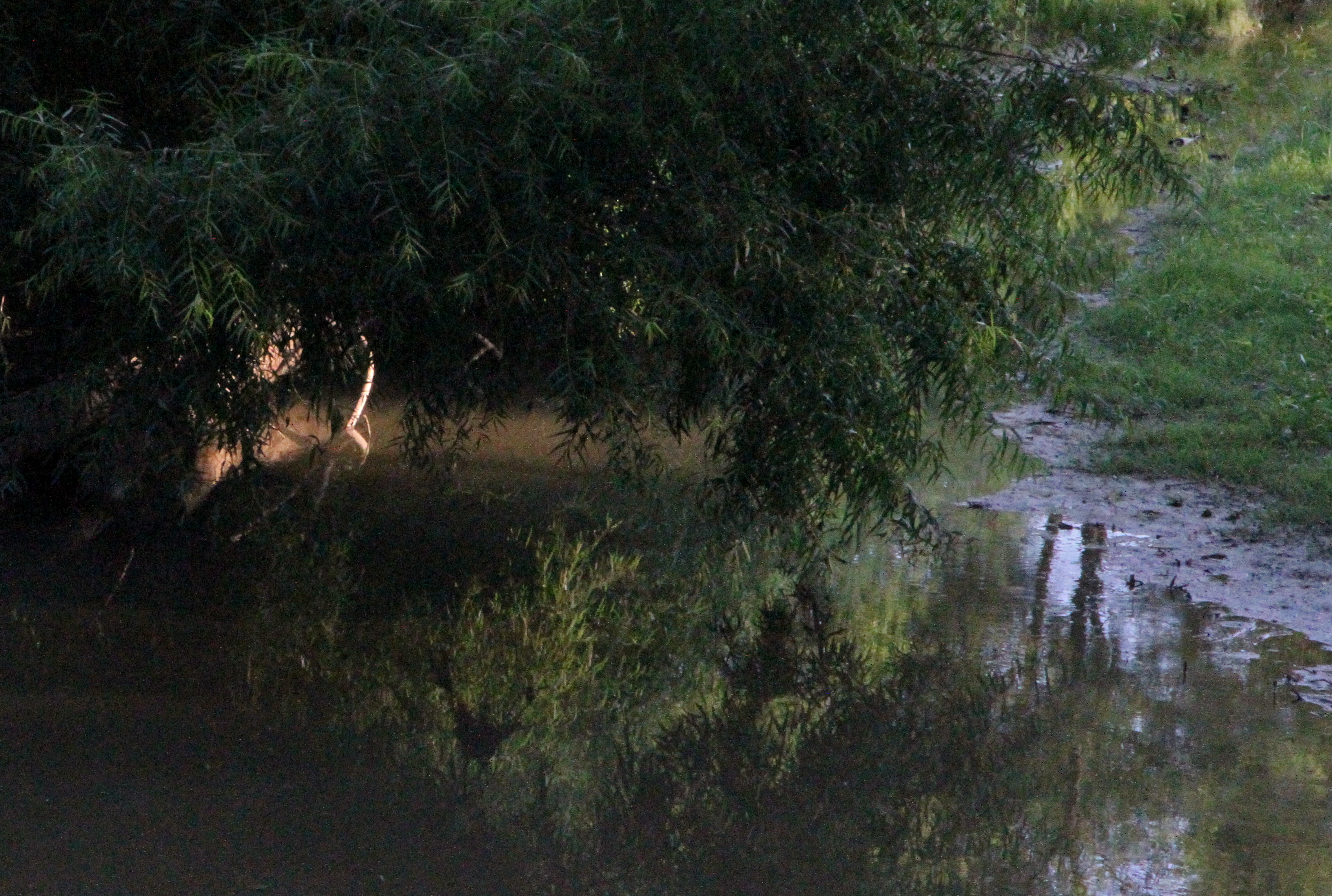
Limberlost Creek

Wabash River

Skull-Face

shadow's view
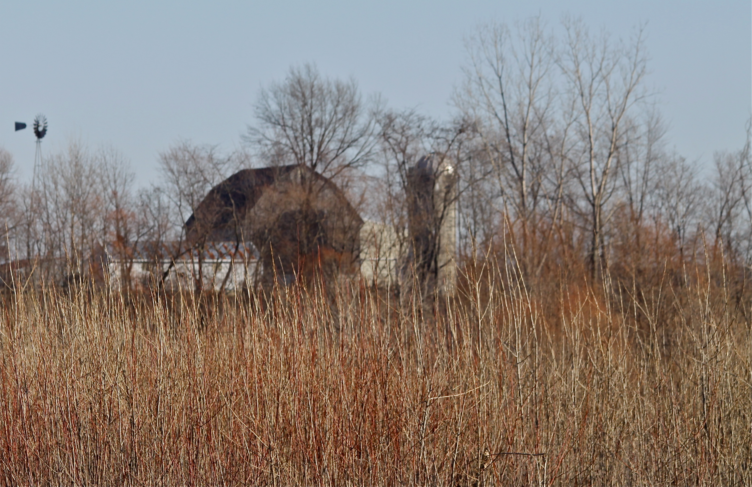
Rainbow Bottom Farm

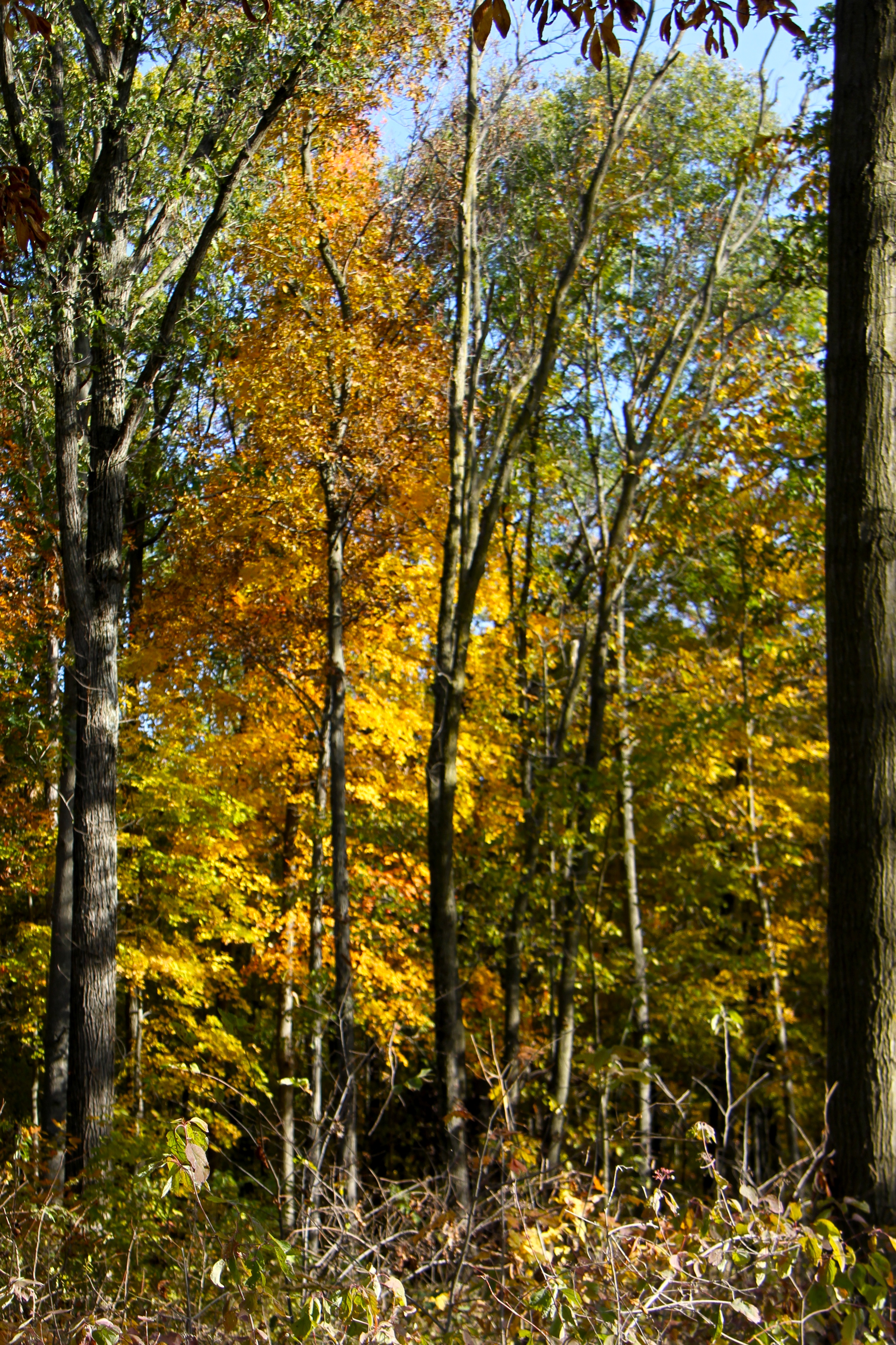
Autumn Gold

Snipe?

Linn Grove
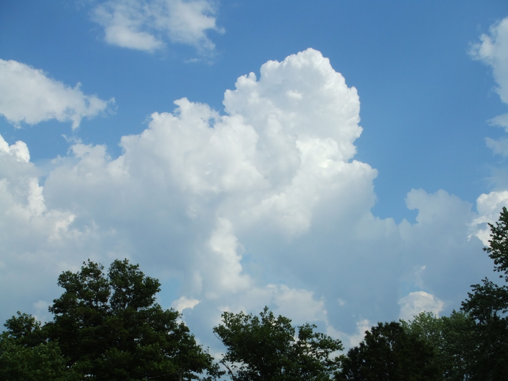
Clouds!
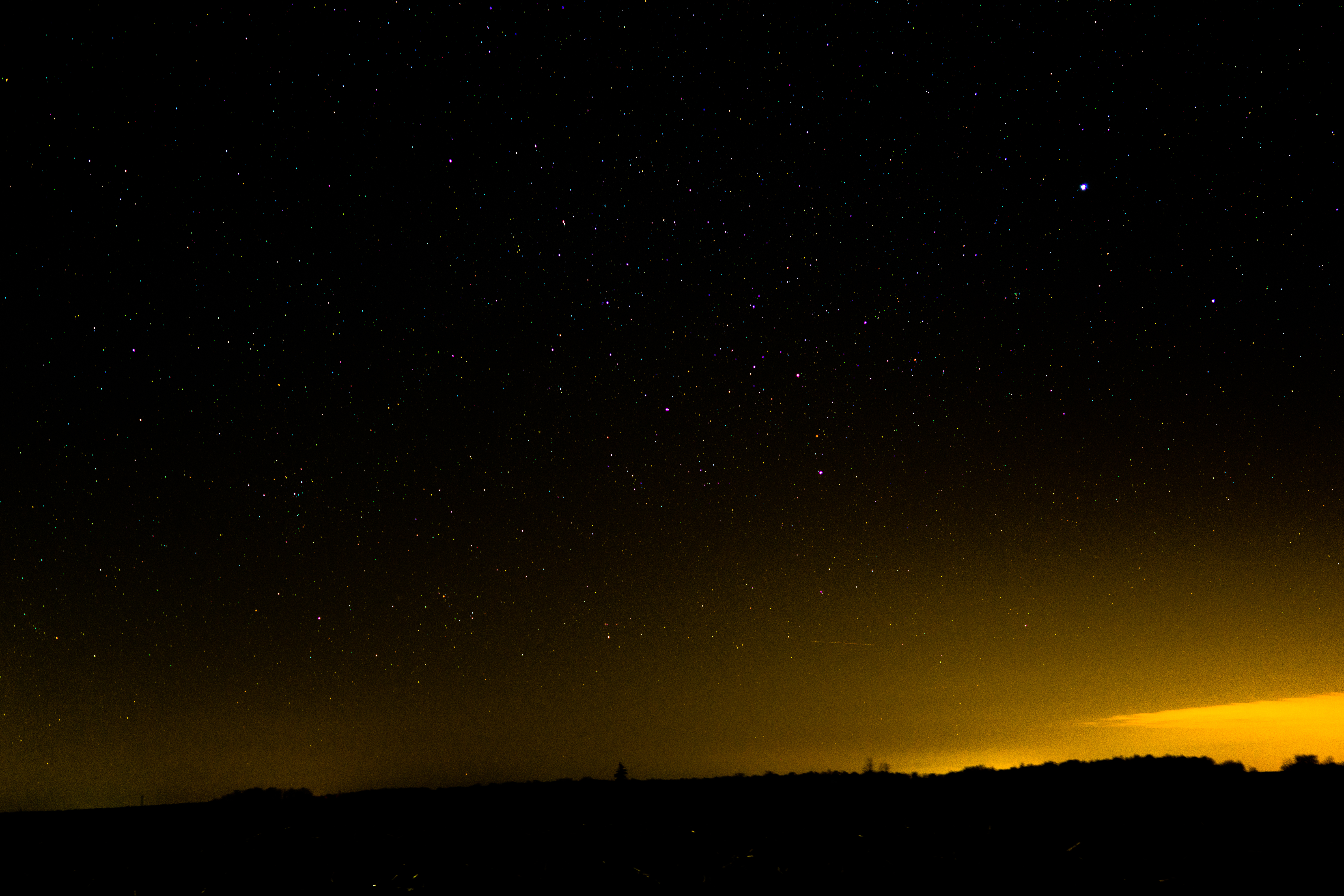
20160205-DSC02182.jpg

The Wabash River at New Corydon
Fall Color
Topographic Map of Geneva, IN, USA
Find elevation by address:

Places in Geneva, IN, USA:
Places near Geneva, IN, USA:
Bryant
E Wilson St, Bryant, IN, USA
Bearcreek Township
Bloomfield Elementary School
Antiville
3463 E 400 N
3461 E 400 N
705 E 300 N
925 N Franklin St
North Depot Street
Portland
Jay County
100 In-26
1003 W High St
125 Rose Drive
E N, Portland, IN, USA
Noble Township
St. Anthony
OH-49, Fort Recovery, OH, USA
Liberty Township
Recent Searches:
- Elevation of Corso Fratelli Cairoli, 35, Macerata MC, Italy
- Elevation of Tallevast Rd, Sarasota, FL, USA
- Elevation of 4th St E, Sonoma, CA, USA
- Elevation of Black Hollow Rd, Pennsdale, PA, USA
- Elevation of Oakland Ave, Williamsport, PA, USA
- Elevation of Pedrógão Grande, Portugal
- Elevation of Klee Dr, Martinsburg, WV, USA
- Elevation of Via Roma, Pieranica CR, Italy
- Elevation of Tavkvetili Mountain, Georgia
- Elevation of Hartfords Bluff Cir, Mt Pleasant, SC, USA