Elevation of E Wilson St, Bryant, IN, USA
Location: United States > Indiana > Jay County > Bearcreek Township > Bryant >
Longitude: -84.963689
Latitude: 40.5330384
Elevation: 266m / 873feet
Barometric Pressure: 98KPa
Elevation Map:
Satellite Map:
Related Photos:

Skull-Face

Twin Hills 1910

Fire Flower

Limberlost Creek

Wabash River

shadow's view

Amish Crew
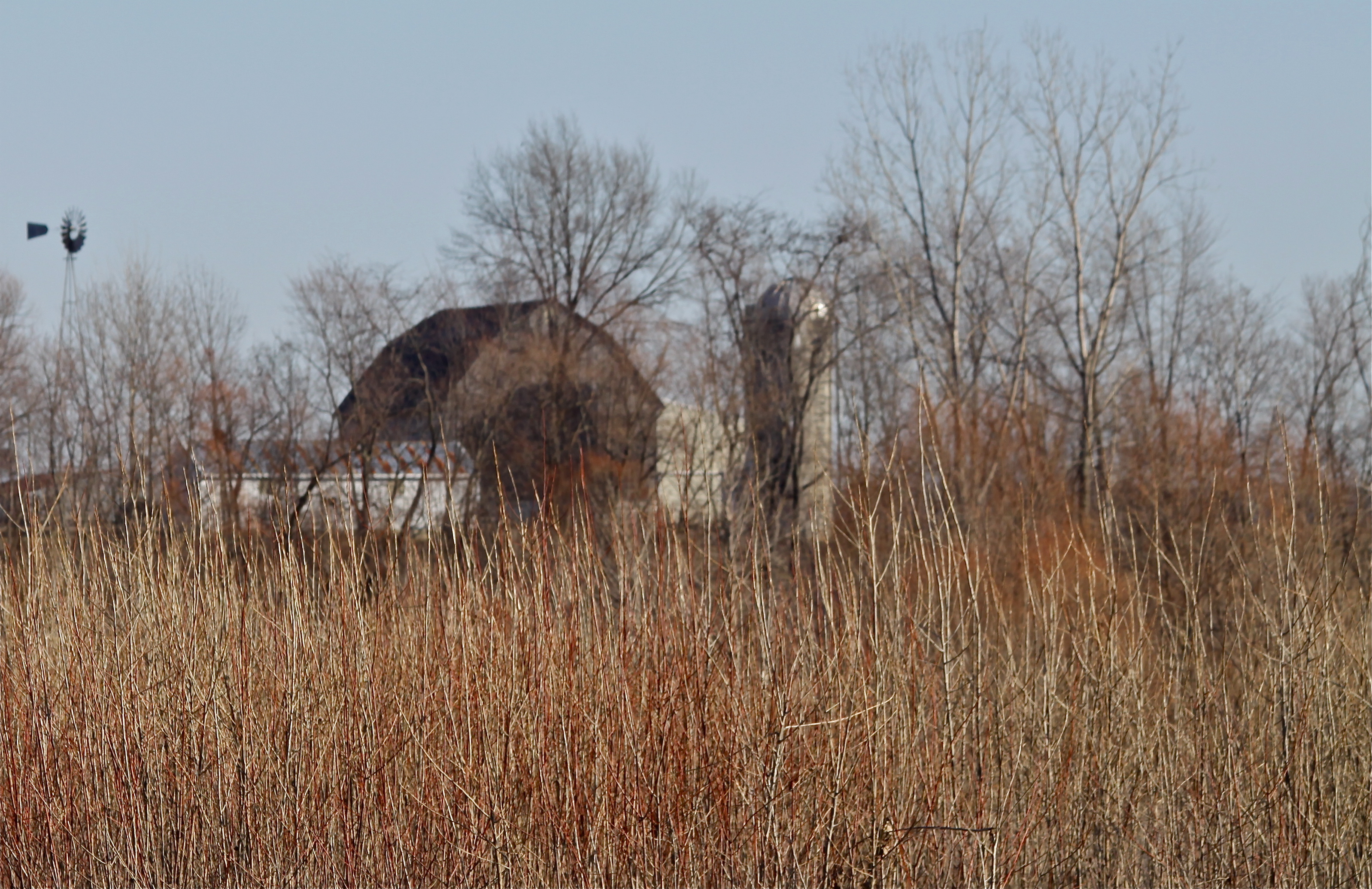
Rainbow Bottom Farm

Fall Color

Snipe?

Linn Grove

Autumn Gold
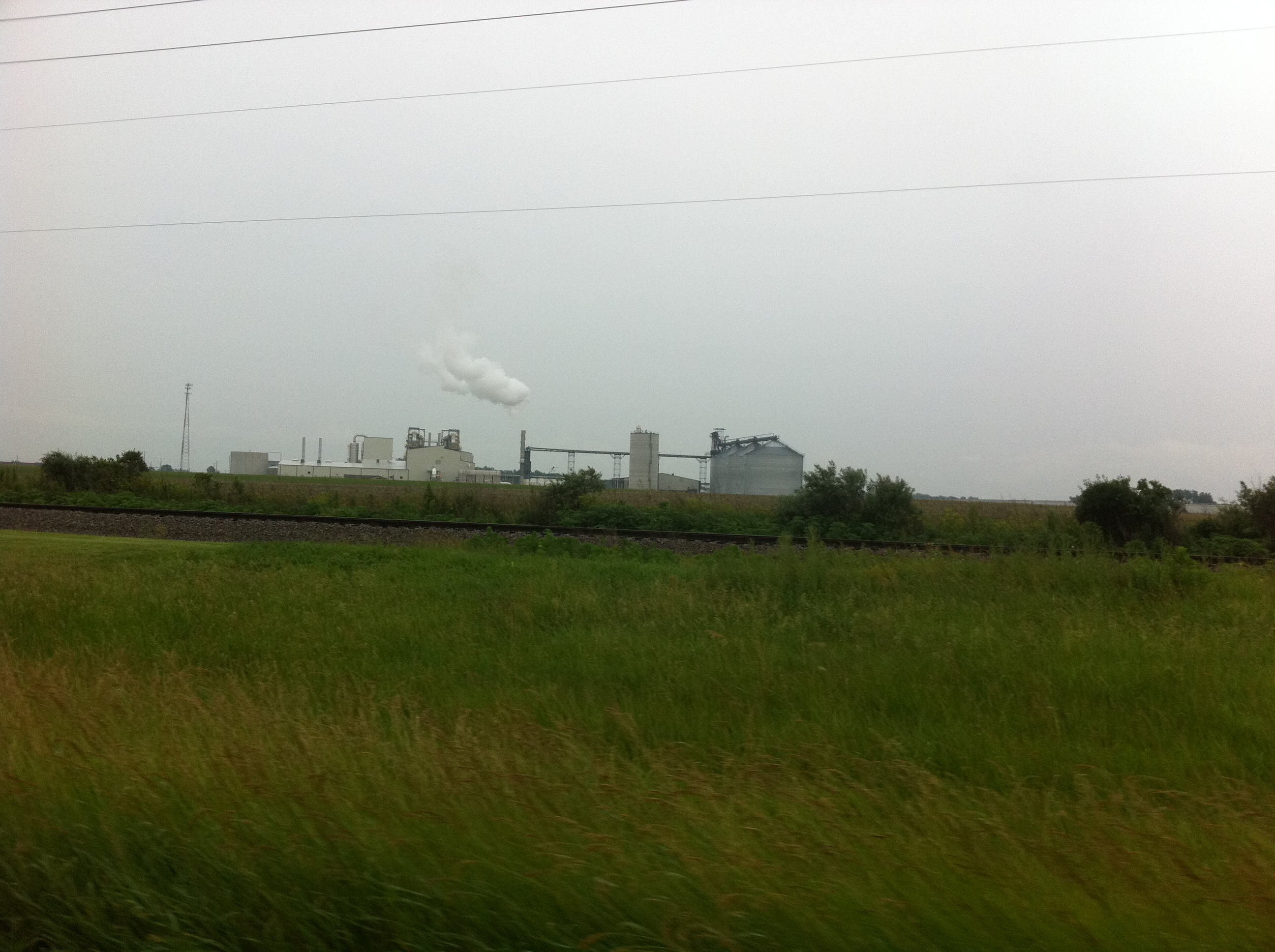
Ethanol Plant near Portland
2013 06 16_0106_edited-1.JPG

2013 06 16_0101_edited-2.psd

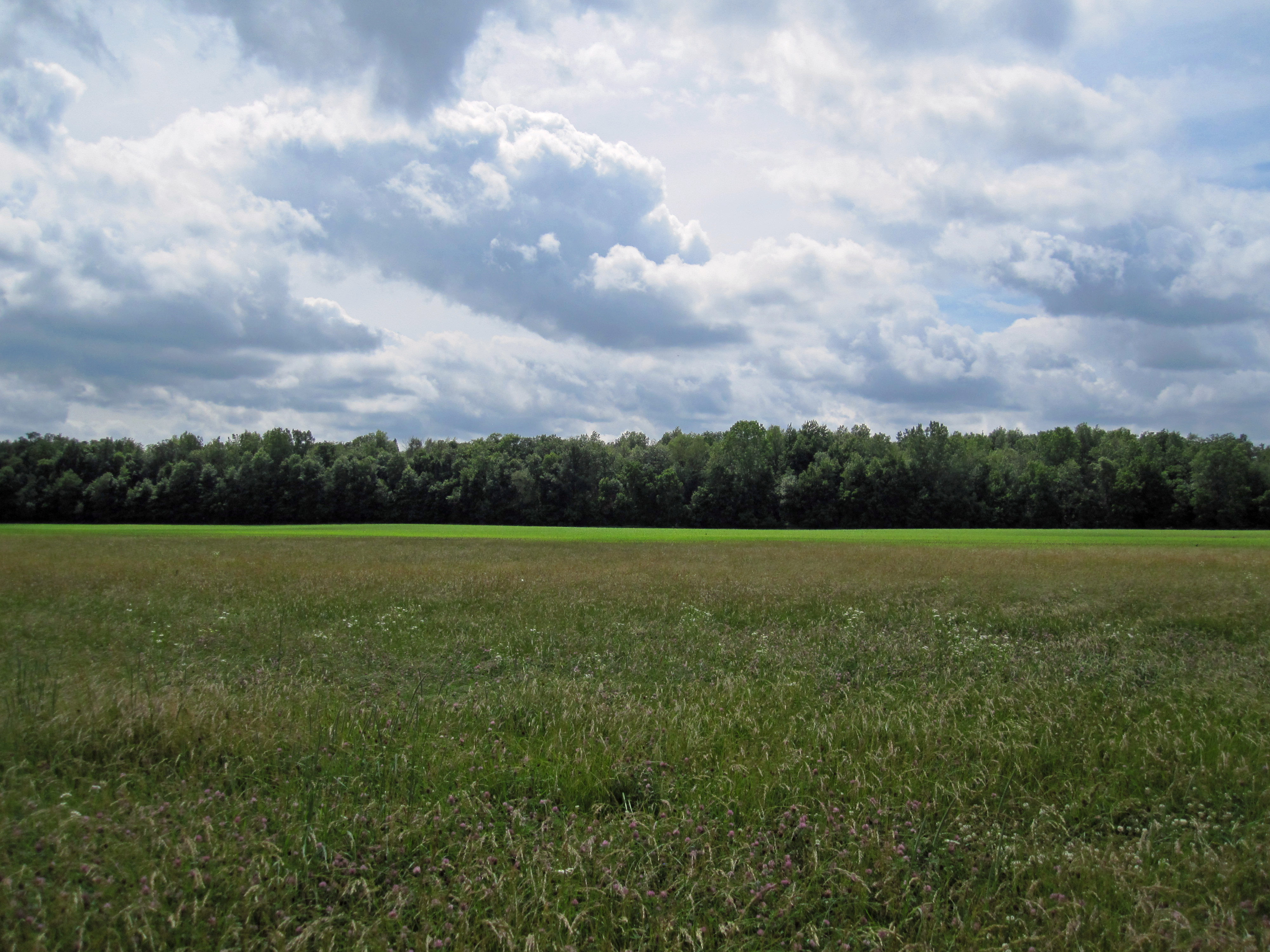
Clouds!
Topographic Map of E Wilson St, Bryant, IN, USA
Find elevation by address:

Places near E Wilson St, Bryant, IN, USA:
Bryant
Bloomfield Elementary School
Antiville
Bearcreek Township
705 E 300 N
Geneva
3463 E 400 N
3461 E 400 N
925 N Franklin St
North Depot Street
Portland
100 In-26
1003 W High St
Jay County
125 Rose Drive
E N, Portland, IN, USA
Noble Township
St. Anthony
OH-49, Fort Recovery, OH, USA
Washington Township
Recent Searches:
- Elevation of Corso Fratelli Cairoli, 35, Macerata MC, Italy
- Elevation of Tallevast Rd, Sarasota, FL, USA
- Elevation of 4th St E, Sonoma, CA, USA
- Elevation of Black Hollow Rd, Pennsdale, PA, USA
- Elevation of Oakland Ave, Williamsport, PA, USA
- Elevation of Pedrógão Grande, Portugal
- Elevation of Klee Dr, Martinsburg, WV, USA
- Elevation of Via Roma, Pieranica CR, Italy
- Elevation of Tavkvetili Mountain, Georgia
- Elevation of Hartfords Bluff Cir, Mt Pleasant, SC, USA