Elevation of Gene Bland Rd, Jesup, GA, USA
Location: United States > Georgia > Jesup >
Longitude: -81.953645
Latitude: 31.7561574
Elevation: 32m / 105feet
Barometric Pressure: 0KPa
Related Photos:
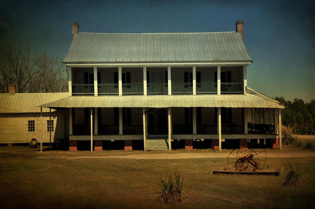
Hendley Foxworth Horne House, 1859
20150721-DSC00358.jpg

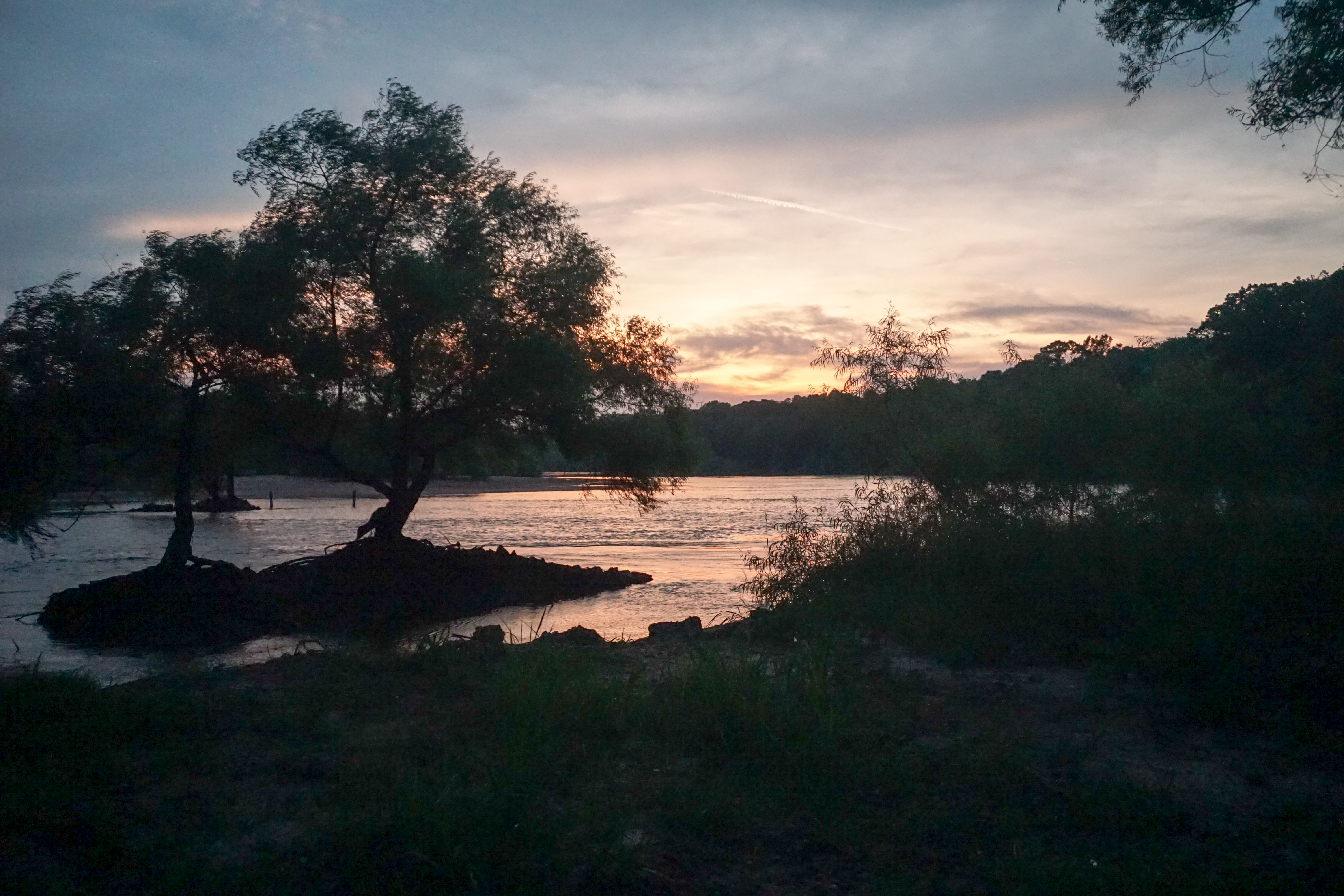
Visitor Meanwhile
Heading home from an afternoon drive
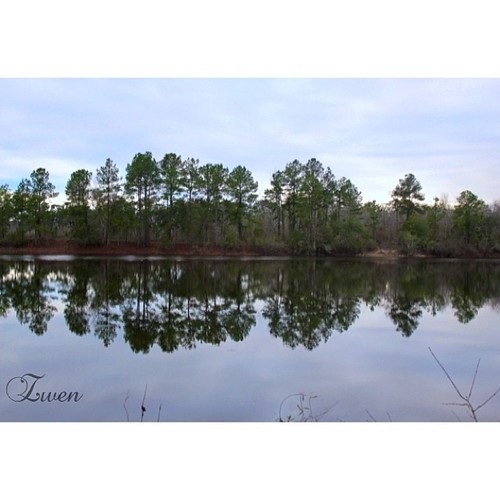
#swamplife #reflection #trees #reflect #photoshoot #love #tallpines #water #calm #countrygirl #igdaily #green #pines #nature #nature_lovers
Topographic Map of Gene Bland Rd, Jesup, GA, USA
Find elevation by address:

Places near Gene Bland Rd, Jesup, GA, USA:
40 Linden Dr
19 Riddle Rd
561 Chapman Plantation Rd
N Church St, Odum, GA, USA
Long County
US-, Ludowici, GA, USA
11 Ammons Scott Rd
730 W Poplar St
East Pine Street
Jesup
510 Oran Way
730 N Palm St
318 Old Spivey Rd
Glennville
W Barnard St, Glennville, GA, USA
1637 Bear Branch Rd
851 Satilla Church Rd
Ludowici
Pine St, Jesup, GA, USA
Surrency Ga.
Recent Searches:
- Elevation map of Greenland, Greenland
- Elevation of Sullivan Hill, New York, New York, 10002, USA
- Elevation of Morehead Road, Withrow Downs, Charlotte, Mecklenburg County, North Carolina, 28262, USA
- Elevation of 2800, Morehead Road, Withrow Downs, Charlotte, Mecklenburg County, North Carolina, 28262, USA
- Elevation of Yangbi Yi Autonomous County, Yunnan, China
- Elevation of Pingpo, Yangbi Yi Autonomous County, Yunnan, China
- Elevation of Mount Malong, Pingpo, Yangbi Yi Autonomous County, Yunnan, China
- Elevation map of Yongping County, Yunnan, China
- Elevation of North 8th Street, Palatka, Putnam County, Florida, 32177, USA
- Elevation of 107, Big Apple Road, East Palatka, Putnam County, Florida, 32131, USA
- Elevation of Jiezi, Chongzhou City, Sichuan, China
- Elevation of Chongzhou City, Sichuan, China
- Elevation of Huaiyuan, Chongzhou City, Sichuan, China
- Elevation of Qingxia, Chengdu, Sichuan, China
- Elevation of Corso Fratelli Cairoli, 35, Macerata MC, Italy
- Elevation of Tallevast Rd, Sarasota, FL, USA
- Elevation of 4th St E, Sonoma, CA, USA
- Elevation of Black Hollow Rd, Pennsdale, PA, USA
- Elevation of Oakland Ave, Williamsport, PA, USA
- Elevation of Pedrógão Grande, Portugal