Elevation of Gena Bosa, Ethiopia
Location: Ethiopia > Southern Nations, Nationalities, And People's Region > Dawro >
Longitude: 37.238361
Latitude: 7.009887
Elevation: 2355m / 7726feet
Barometric Pressure: 76KPa
Elevation Map:
Satellite Map:
Related Photos:
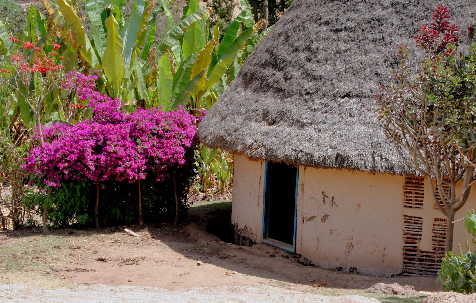
Ethiopian house
Topographic Map of Gena Bosa, Ethiopia
Find elevation by address:

Places near Gena Bosa, Ethiopia:
Gilgel Gibe Iii Dam
Loma
Koysha Bele'eka
Dawro
Omo River
Southern Nations, Nationalities, And People's Region
Wolayita
Chebera-churchura National Park
Gamo Gofa
Chencha
Dorze Eco Trekking, Village And Lodge
Dorze Lodge
Arba Minch
Chamo Lake
Amaro
Faggi
Recent Searches:
- Elevation of Corso Fratelli Cairoli, 35, Macerata MC, Italy
- Elevation of Tallevast Rd, Sarasota, FL, USA
- Elevation of 4th St E, Sonoma, CA, USA
- Elevation of Black Hollow Rd, Pennsdale, PA, USA
- Elevation of Oakland Ave, Williamsport, PA, USA
- Elevation of Pedrógão Grande, Portugal
- Elevation of Klee Dr, Martinsburg, WV, USA
- Elevation of Via Roma, Pieranica CR, Italy
- Elevation of Tavkvetili Mountain, Georgia
- Elevation of Hartfords Bluff Cir, Mt Pleasant, SC, USA