Elevation of García Cadena, Puerto Wilches, Santander, Colombia
Location: Colombia > Santander Department >
Longitude: -73.79113
Latitude: 7.30342
Elevation: 92m / 302feet
Barometric Pressure: 100KPa
Elevation Map:
Satellite Map:
Related Photos:
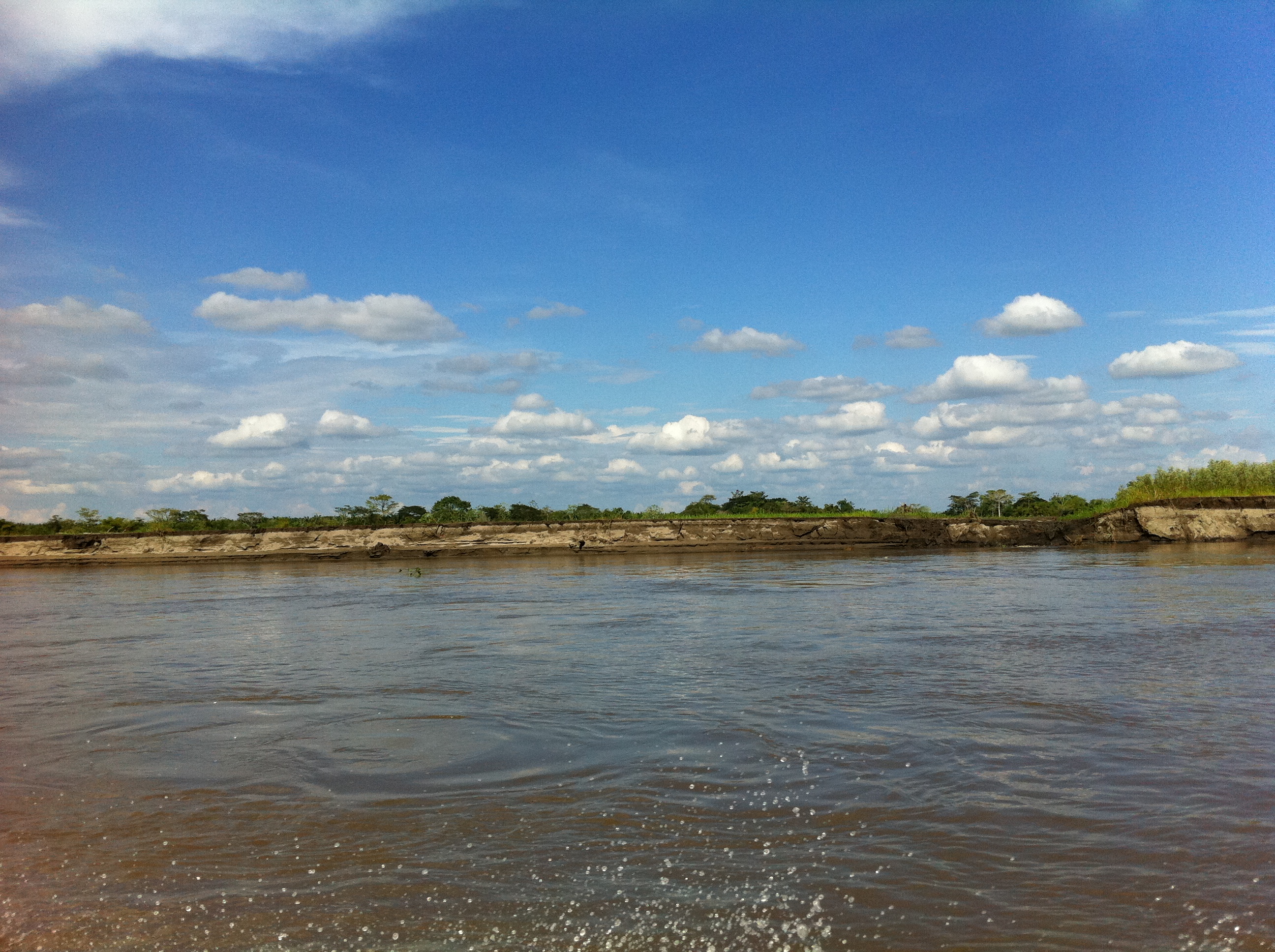
Navegando el río

Entre uñas mordidas..
Puente sogamoso, lugar donde se escriben grandes historias.

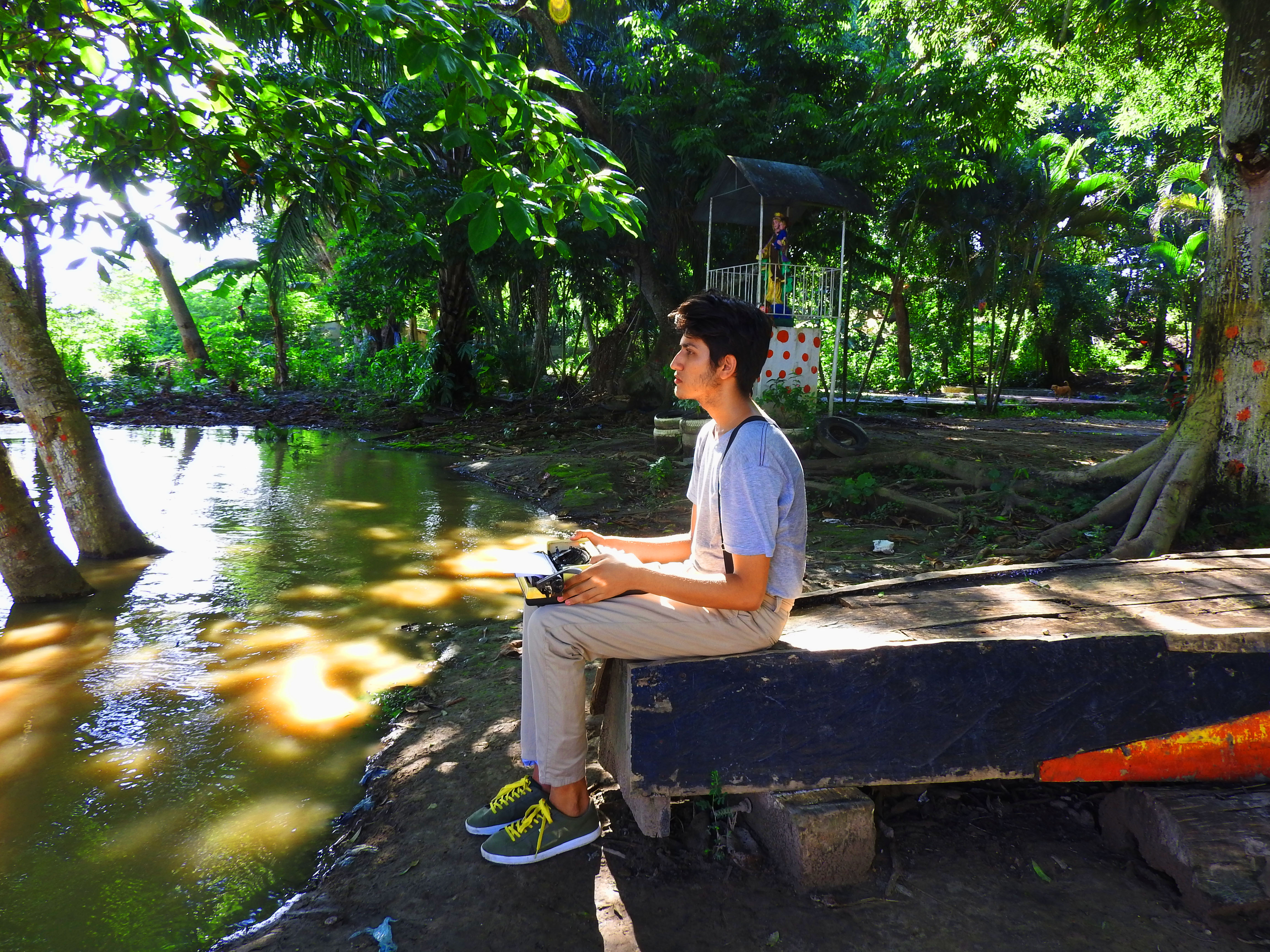
Fotografia de pose
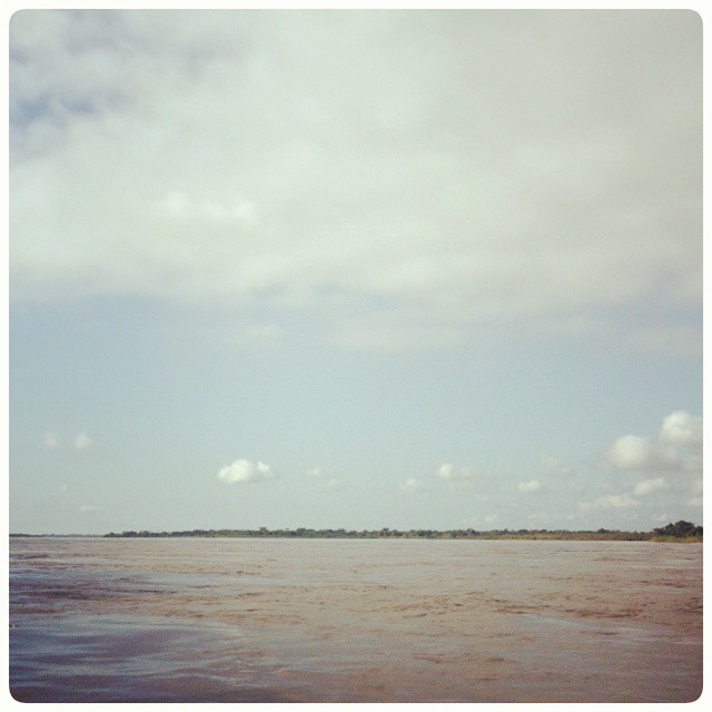
El río grande de la Magdalena
Topographic Map of García Cadena, Puerto Wilches, Santander, Colombia
Find elevation by address:

Places near García Cadena, Puerto Wilches, Santander, Colombia:
Recent Searches:
- Elevation of Corso Fratelli Cairoli, 35, Macerata MC, Italy
- Elevation of Tallevast Rd, Sarasota, FL, USA
- Elevation of 4th St E, Sonoma, CA, USA
- Elevation of Black Hollow Rd, Pennsdale, PA, USA
- Elevation of Oakland Ave, Williamsport, PA, USA
- Elevation of Pedrógão Grande, Portugal
- Elevation of Klee Dr, Martinsburg, WV, USA
- Elevation of Via Roma, Pieranica CR, Italy
- Elevation of Tavkvetili Mountain, Georgia
- Elevation of Hartfords Bluff Cir, Mt Pleasant, SC, USA