Elevation of Barrancabermeja, Santander, Colombia
Location: Colombia > Santander Department > Barrancabermeja >
Longitude: -73.851931
Latitude: 7.0617085
Elevation: 84m / 276feet
Barometric Pressure: 100KPa
Elevation Map:
Satellite Map:
Related Photos:
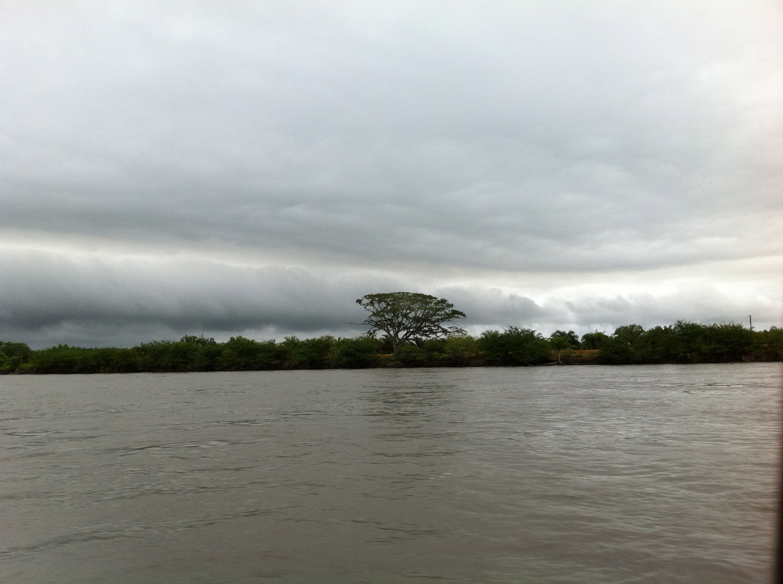
Yondó
☺️
Buen día.
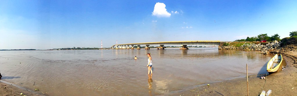
La vista para el río
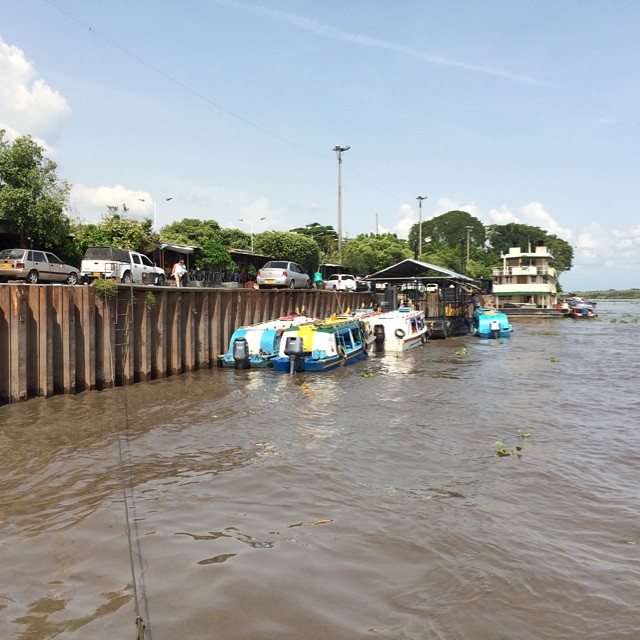
#riomagdalena #barrancabermeja
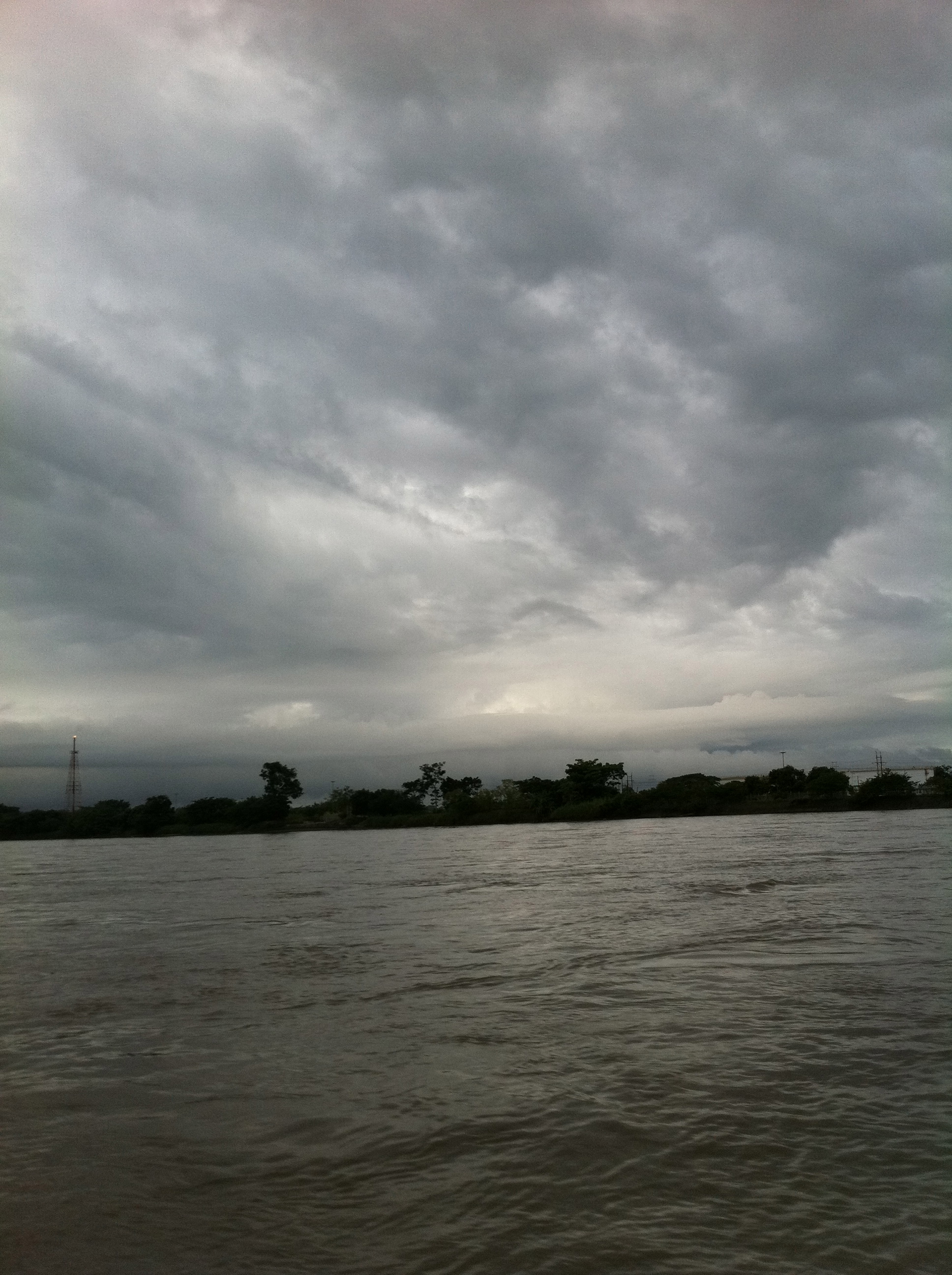
Navegando el río
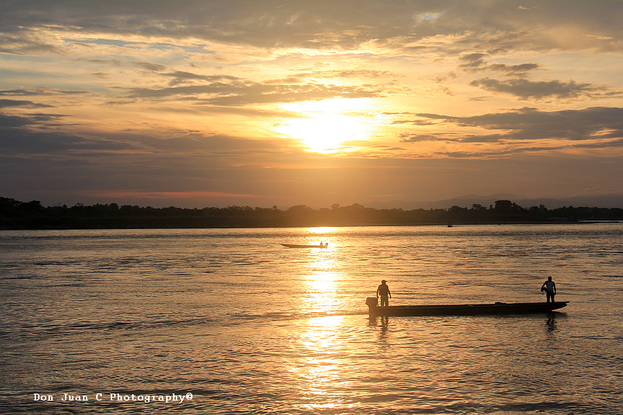
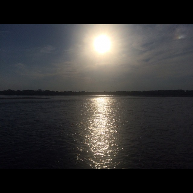
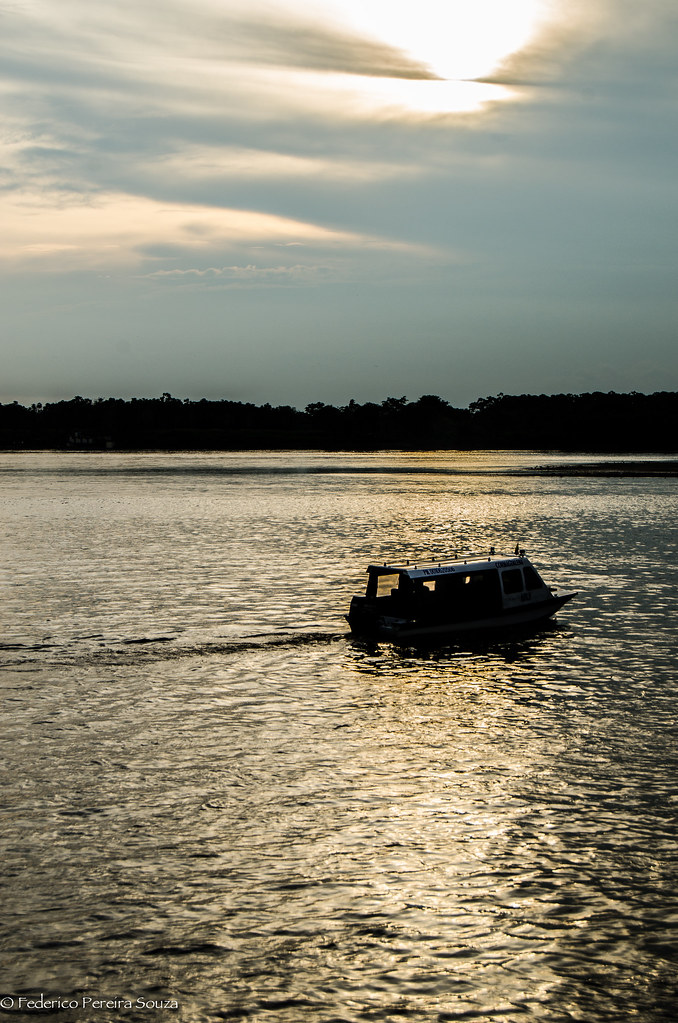
Atardecer en Barranca
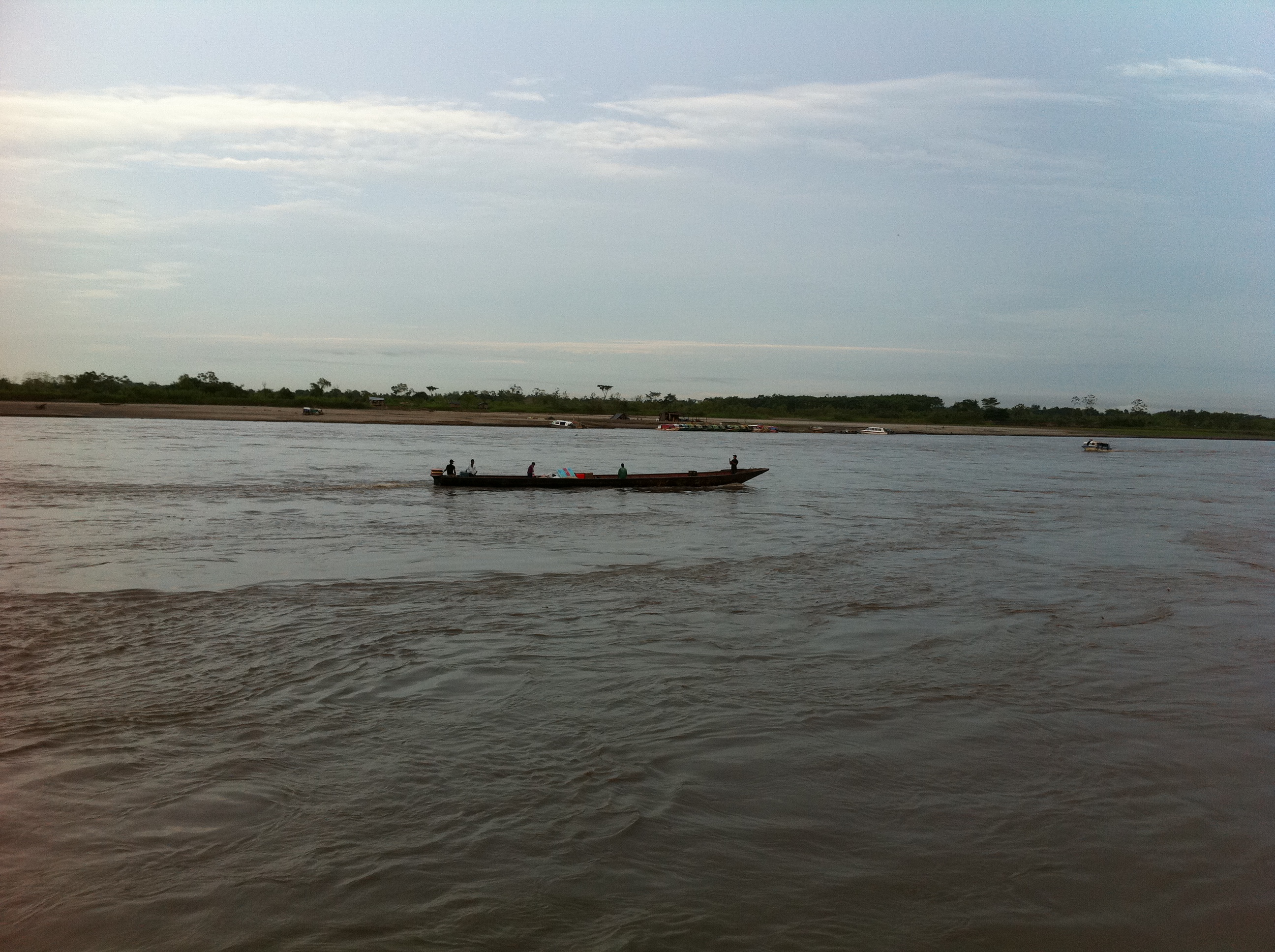
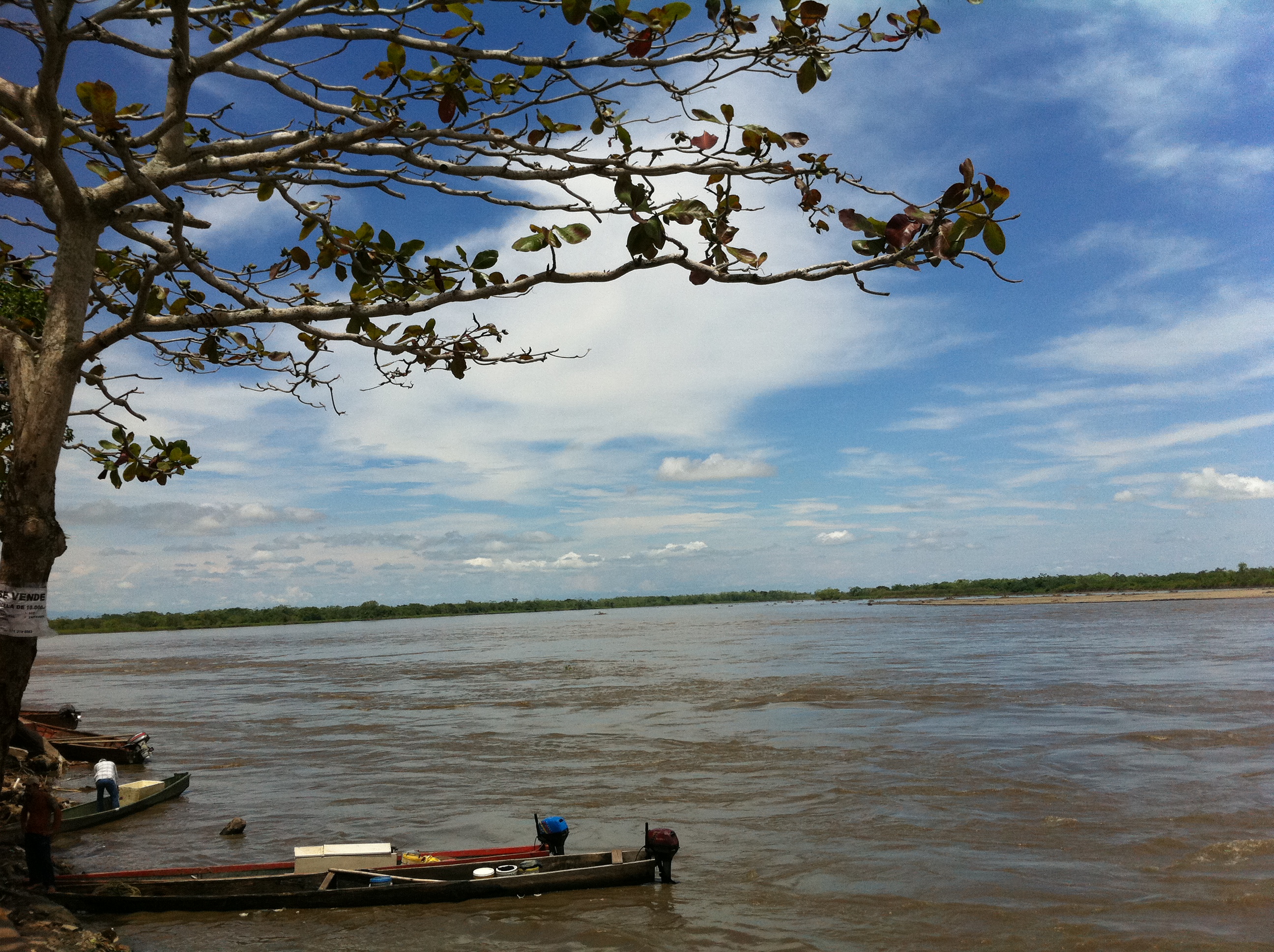
Canoa sobre el río
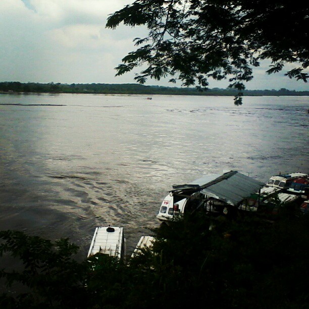
Navegando el río
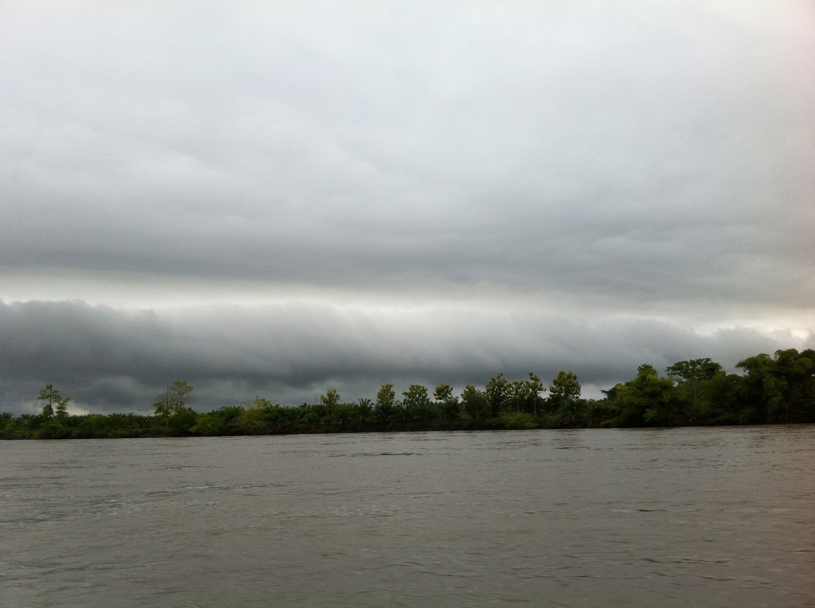
Navegando el río
Barranca_-32
Topographic Map of Barrancabermeja, Santander, Colombia
Find elevation by address:

Places near Barrancabermeja, Santander, Colombia:
Recent Searches:
- Elevation of Corso Fratelli Cairoli, 35, Macerata MC, Italy
- Elevation of Tallevast Rd, Sarasota, FL, USA
- Elevation of 4th St E, Sonoma, CA, USA
- Elevation of Black Hollow Rd, Pennsdale, PA, USA
- Elevation of Oakland Ave, Williamsport, PA, USA
- Elevation of Pedrógão Grande, Portugal
- Elevation of Klee Dr, Martinsburg, WV, USA
- Elevation of Via Roma, Pieranica CR, Italy
- Elevation of Tavkvetili Mountain, Georgia
- Elevation of Hartfords Bluff Cir, Mt Pleasant, SC, USA