Elevation of Garam Chashma, Chitral, Khyber Pakhtunkhwa, Pakistan
Location: Pakistan > Khyber Pakhtunkhwa > Chitral > Chitral >
Longitude: 71.5634933
Latitude: 35.9974666
Elevation: 2362m / 7749feet
Barometric Pressure: 76KPa
Elevation Map:
Satellite Map:
Related Photos:

Chitral Scouts fort

Garam Chashma, Pakistan

Looking Towards the Afghan Border from Garam Chashma, Pakistan

Lutkho River Tributary, Garam Chashma, Pakistan

A Tributary of the Lutkho River at Garam Chashma, Pakistan
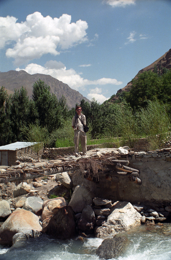
Me on the Bridge at Garam Chashma, Pakistan

Domenico Bruzzone - The Kalash of Rumbur - Kalash Valleys in Chitral, Northwestern Pakistan [WP_20160828_14_21_56_Pro]_redux

Local Man on a Bridge at Garam Chashma, Pakistan
Topographic Map of Garam Chashma, Chitral, Khyber Pakhtunkhwa, Pakistan
Find elevation by address:

Places near Garam Chashma, Chitral, Khyber Pakhtunkhwa, Pakistan:
Chitral
Chitral Gol National Park
Rumbur Valley Raod
Rumbur Valley Raod
Kalash Valley
Brun
Rumbur
Birir
Kuh-e Bandaka
Kuran Wa Munjan
Nuristan
Arghenchkha Bala
Mandol
Recent Searches:
- Elevation of Corso Fratelli Cairoli, 35, Macerata MC, Italy
- Elevation of Tallevast Rd, Sarasota, FL, USA
- Elevation of 4th St E, Sonoma, CA, USA
- Elevation of Black Hollow Rd, Pennsdale, PA, USA
- Elevation of Oakland Ave, Williamsport, PA, USA
- Elevation of Pedrógão Grande, Portugal
- Elevation of Klee Dr, Martinsburg, WV, USA
- Elevation of Via Roma, Pieranica CR, Italy
- Elevation of Tavkvetili Mountain, Georgia
- Elevation of Hartfords Bluff Cir, Mt Pleasant, SC, USA