Elevation map of Chitral, Khyber Pakhtunkhwa, Pakistan
Location: Pakistan > Khyber Pakhtunkhwa > Chitral >
Longitude: 71.6673352
Latitude: 35.9533833
Elevation: 4103m / 13461feet
Barometric Pressure: 0KPa
Related Photos:

A Kalasha girl wearing traditional dress

A Kalasha man carrying firewood and a axe

Wrapped up to keep warm in Chitral

Pakistan_1992_005 View from Chitral Summer Palace (HE-11)

Pakistan_1992_006 View from Chitral Summer Palace (HE-13)

Chitral City

Gol National Park, Chitral, KPK, Pakistan

Road to Gol National Park

Chitral Scouts fort
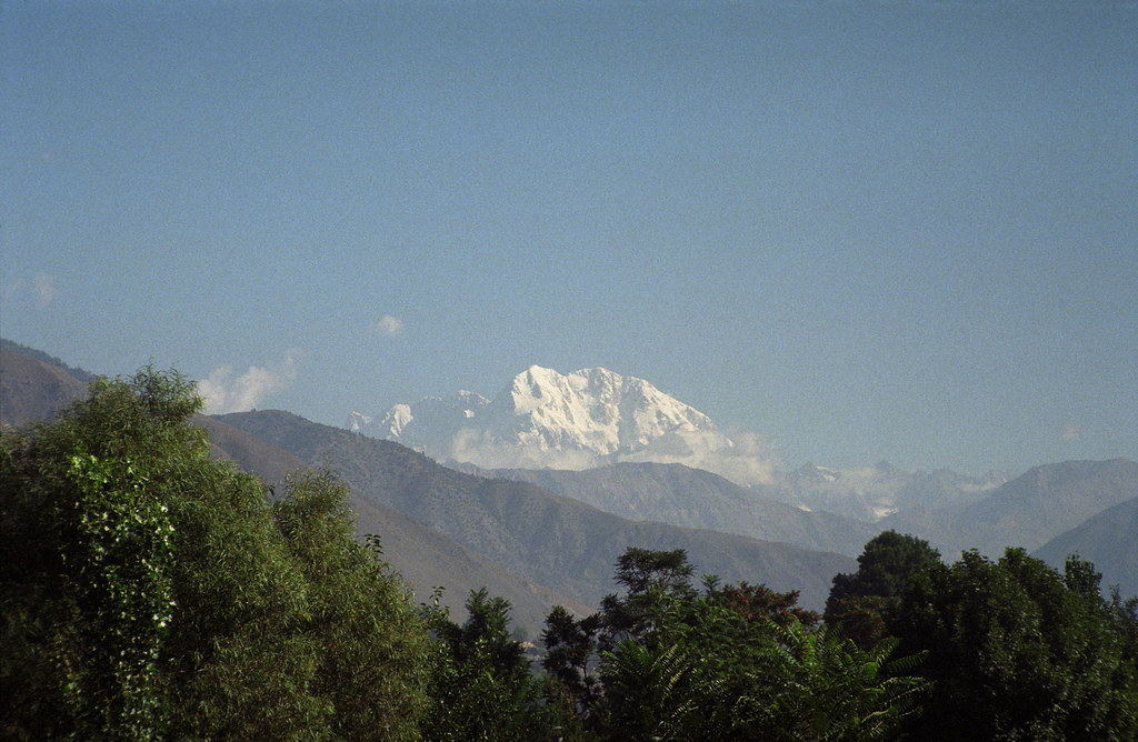
Tirich Mir seen from Chitral, Pakistan

Garam Chashma, Pakistan

Pakistan_1992_007 Tirich Mir from Chitral Summer Palace (HE-14)

Looking Towards the Afghan Border from Garam Chashma, Pakistan

Tirich Mir

Shahi Masjid & Tirich Mir
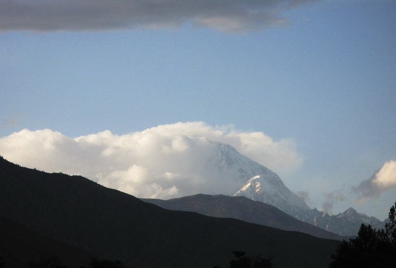
Tirich Mir

Lutkho River Tributary, Garam Chashma, Pakistan

A Tributary of the Lutkho River at Garam Chashma, Pakistan

All Photos-337

All Photos-338

All Photos-339

All Photos-336
Topographic Map of Chitral, Khyber Pakhtunkhwa, Pakistan
Find elevation by address:

Places in Chitral, Khyber Pakhtunkhwa, Pakistan:
Places near Chitral, Khyber Pakhtunkhwa, Pakistan:
Chitral Gol National Park
Garam Chashma
Rumbur Valley Raod
Rumbur Valley Raod
Brun
Rumbur
Kalash Valley
Birir
Kuh-e Bandaka
Kuran Wa Munjan
Nuristan
Arghenchkha Bala
Mandol
Recent Searches:
- Elevation map of Greenland, Greenland
- Elevation of Sullivan Hill, New York, New York, 10002, USA
- Elevation of Morehead Road, Withrow Downs, Charlotte, Mecklenburg County, North Carolina, 28262, USA
- Elevation of 2800, Morehead Road, Withrow Downs, Charlotte, Mecklenburg County, North Carolina, 28262, USA
- Elevation of Yangbi Yi Autonomous County, Yunnan, China
- Elevation of Pingpo, Yangbi Yi Autonomous County, Yunnan, China
- Elevation of Mount Malong, Pingpo, Yangbi Yi Autonomous County, Yunnan, China
- Elevation map of Yongping County, Yunnan, China
- Elevation of North 8th Street, Palatka, Putnam County, Florida, 32177, USA
- Elevation of 107, Big Apple Road, East Palatka, Putnam County, Florida, 32131, USA
- Elevation of Jiezi, Chongzhou City, Sichuan, China
- Elevation of Chongzhou City, Sichuan, China
- Elevation of Huaiyuan, Chongzhou City, Sichuan, China
- Elevation of Qingxia, Chengdu, Sichuan, China
- Elevation of Corso Fratelli Cairoli, 35, Macerata MC, Italy
- Elevation of Tallevast Rd, Sarasota, FL, USA
- Elevation of 4th St E, Sonoma, CA, USA
- Elevation of Black Hollow Rd, Pennsdale, PA, USA
- Elevation of Oakland Ave, Williamsport, PA, USA
- Elevation of Pedrógão Grande, Portugal