Elevation of Gangavalli, Tamil Nadu, India
Location: India > Tamil Nadu > Salem >
Longitude: 78.6441055
Latitude: 11.5039673
Elevation: 218m / 715feet
Barometric Pressure: 99KPa
Elevation Map:
Satellite Map:
Related Photos:
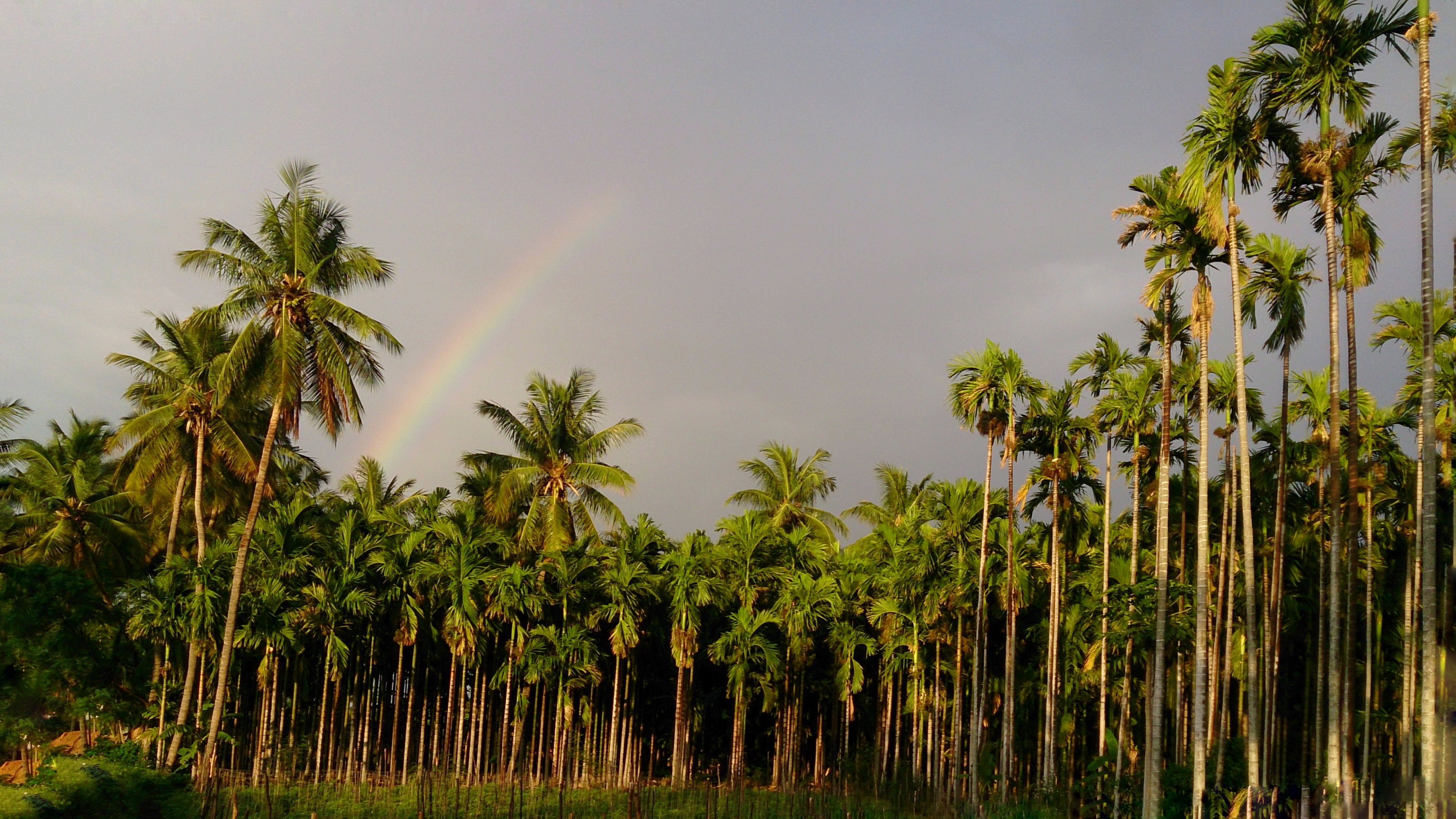
Rainbow.

Sathishkumar Palanivel

450 km after a long time to meet amma in her native place . #truelove #bike #startup.
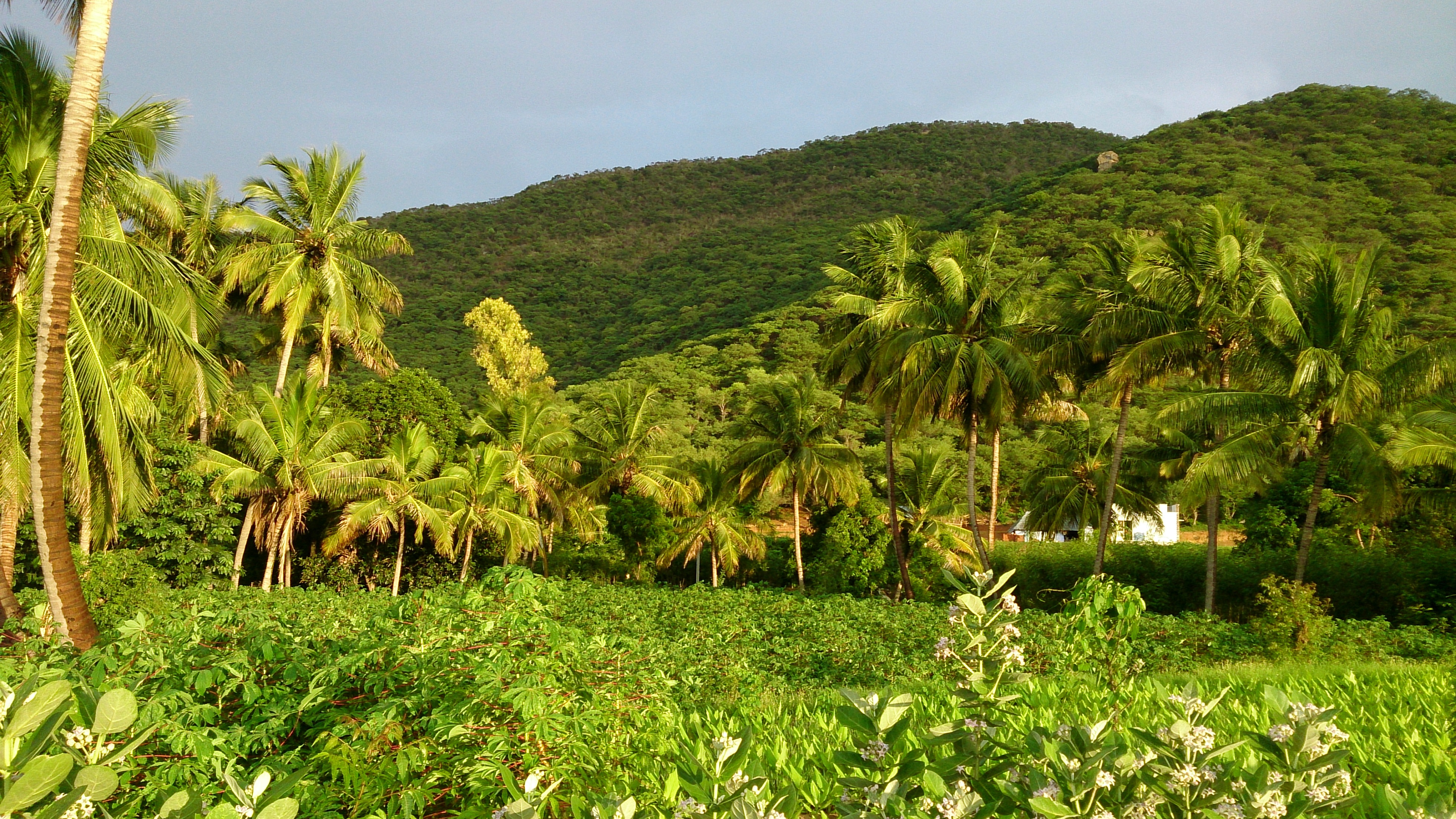
After the rain 2.

© mobilecamera | tumblr
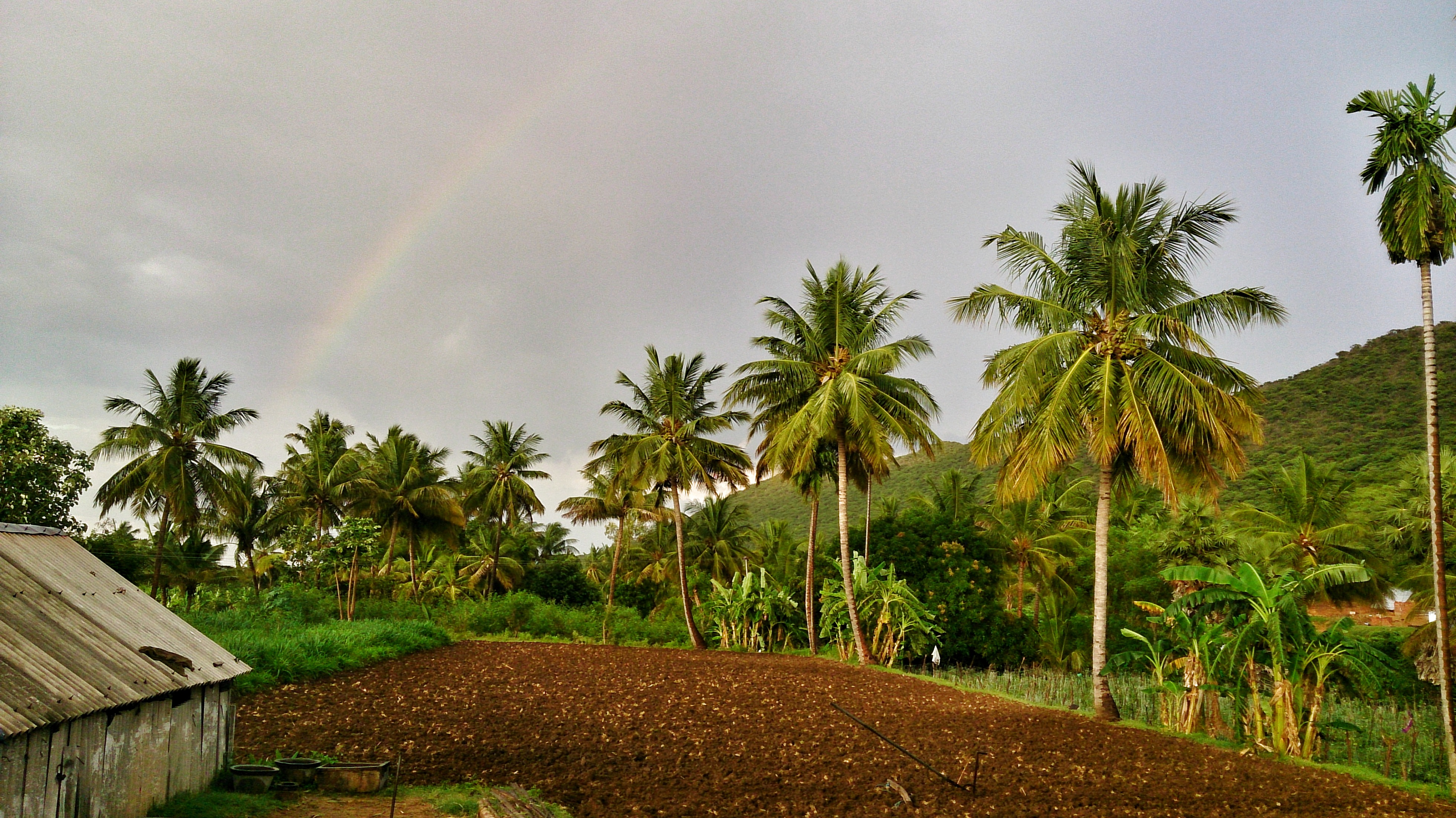
After the rain.
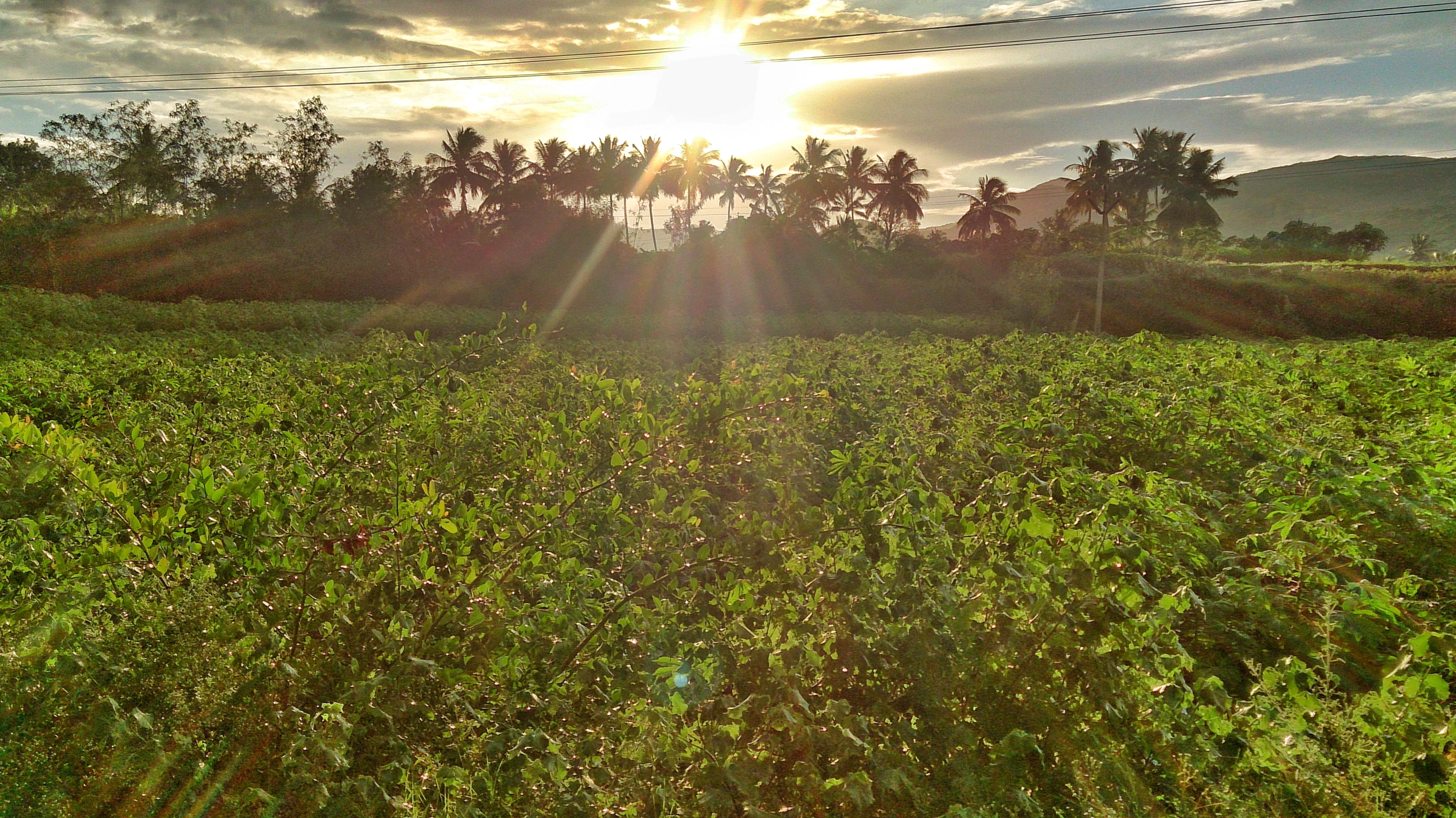
Those last lights, before he hides. -
Topographic Map of Gangavalli, Tamil Nadu, India
Find elevation by address:

Places near Gangavalli, Tamil Nadu, India:
Attur Manmalai R.f.
Attur
Thalaivasal
Mangalam Water Falls
Neivasal Malai Perumal Temple
Neivasal Kovil Medu Watch Tower
Malayappatti
Manmalai Perumal Temple
Pachamalai
Pachamalai Hill
Sengattur R.f.
Shri Perumal Temple,punavarai
Nagalur Water Falls
Pethanaickenpalayam
Koraiyaru Falls
Top Sengattupatti
T.kanapadi R.f.
Methagam View Point, Pachamalai
Karrupankaduthittu R.f.
Kokkuvarai View Point
Recent Searches:
- Elevation of Corso Fratelli Cairoli, 35, Macerata MC, Italy
- Elevation of Tallevast Rd, Sarasota, FL, USA
- Elevation of 4th St E, Sonoma, CA, USA
- Elevation of Black Hollow Rd, Pennsdale, PA, USA
- Elevation of Oakland Ave, Williamsport, PA, USA
- Elevation of Pedrógão Grande, Portugal
- Elevation of Klee Dr, Martinsburg, WV, USA
- Elevation of Via Roma, Pieranica CR, Italy
- Elevation of Tavkvetili Mountain, Georgia
- Elevation of Hartfords Bluff Cir, Mt Pleasant, SC, USA