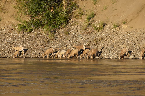
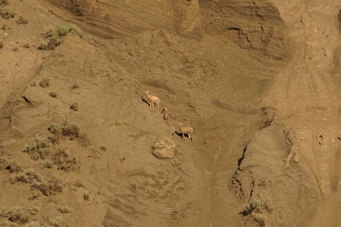
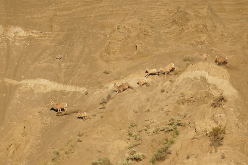
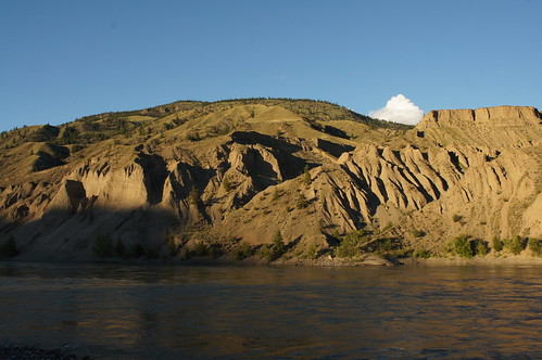
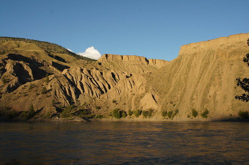
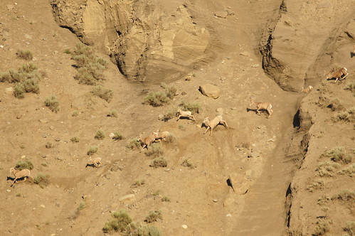
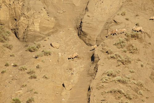
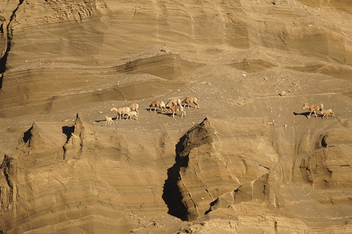
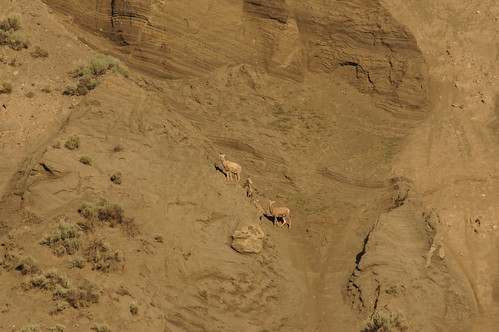
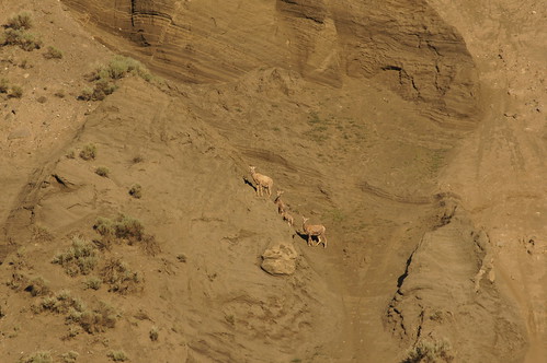
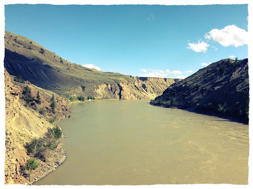
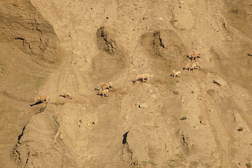
Elevation of Gang Ranch, BC V0L, Canada
Location: Canada > British Columbia >
Longitude: -122.33333
Latitude: 51.55
Elevation: 652m / 2139feet
Barometric Pressure: 94KPa
Related Photos:
Topographic Map of Gang Ranch, BC V0L, Canada
Find elevation by address:

Places near Gang Ranch, BC V0L, Canada:
Churn Creek Protected Area
Dog Creek
Cariboo E
Thompson-nicola E
Big Bar Lake
Snag Lake
Meadow Lake Road
Cariboo G
Moha
V0n 3c0
3765 Dodge Rd
3748 Emerald Crescent
Shalalth
Bridge River 1
Pavilion
Seton Portage
Anderson Lake Road
Bridge River Indian Band
4777 Lac La Hache Station Rd
Clinton
Recent Searches:
- Elevation of Corso Fratelli Cairoli, 35, Macerata MC, Italy
- Elevation of Tallevast Rd, Sarasota, FL, USA
- Elevation of 4th St E, Sonoma, CA, USA
- Elevation of Black Hollow Rd, Pennsdale, PA, USA
- Elevation of Oakland Ave, Williamsport, PA, USA
- Elevation of Pedrógão Grande, Portugal
- Elevation of Klee Dr, Martinsburg, WV, USA
- Elevation of Via Roma, Pieranica CR, Italy
- Elevation of Tavkvetili Mountain, Georgia
- Elevation of Hartfords Bluff Cir, Mt Pleasant, SC, USA
