Elevation of Cariboo G, BC V0K, Canada
Location: Canada > British Columbia > Cariboo >
Longitude: -121.69499
Latitude: 51.7147093
Elevation: 1104m / 3622feet
Barometric Pressure: 89KPa
Elevation Map:
Satellite Map:
Related Photos:
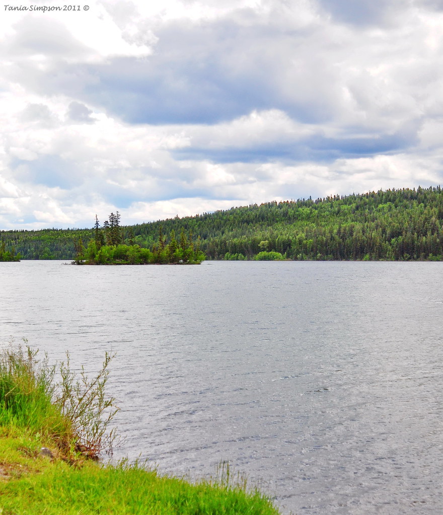
Lac la Hache

Lac La Hache

Moose Valley Provincial Park
Topographic Map of Cariboo G, BC V0K, Canada
Find elevation by address:

Places in Cariboo G, BC V0K, Canada:
Places near Cariboo G, BC V0K, Canada:
Snag Lake
3748 Emerald Crescent
3765 Dodge Rd
4777 Lac La Hache Station Rd
Lac La Hache
5112 Abel Lake Rd
Meadow Lake Road
108 Mile Ranch
One Hundred Mile House
7158 93 Mile Loop Rd
93 Mile
6801 Campbell Rd
Royal Lepage 100 Mile Realty
917 Alder Ave
Alder Ave, Buffalo Creek, BC V0K 1G0, Canada
100 Mile House
Big Bar Lake
256 Blackstock Rd
Thompson-nicola E
8038 83 Mile Creek Rd
Recent Searches:
- Elevation of Corso Fratelli Cairoli, 35, Macerata MC, Italy
- Elevation of Tallevast Rd, Sarasota, FL, USA
- Elevation of 4th St E, Sonoma, CA, USA
- Elevation of Black Hollow Rd, Pennsdale, PA, USA
- Elevation of Oakland Ave, Williamsport, PA, USA
- Elevation of Pedrógão Grande, Portugal
- Elevation of Klee Dr, Martinsburg, WV, USA
- Elevation of Via Roma, Pieranica CR, Italy
- Elevation of Tavkvetili Mountain, Georgia
- Elevation of Hartfords Bluff Cir, Mt Pleasant, SC, USA