Elevation of GA-, Bowdon, GA, USA
Location: United States > Georgia > Carroll County > Bowdon >
Longitude: -85.290199
Latitude: 33.474381
Elevation: 293m / 961feet
Barometric Pressure: 98KPa
Elevation Map:
Satellite Map:
Related Photos:

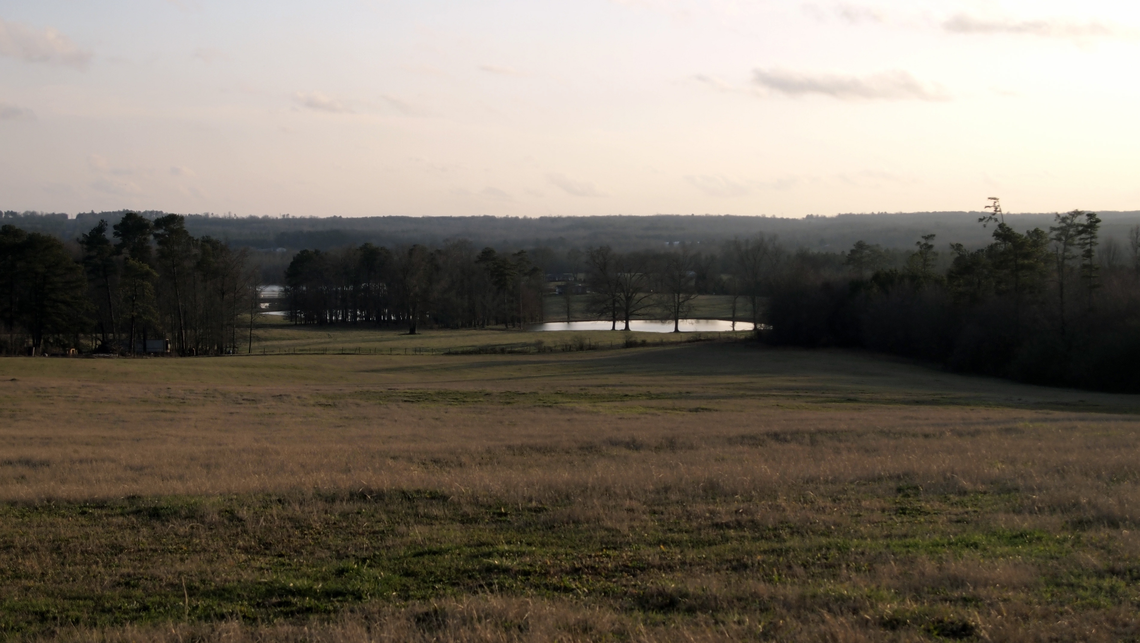
The Calm After the Storm
View from a Country Road
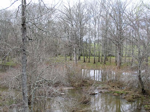
From the bridge on Tyus-Carrollton Road

Bowden shooting adventure
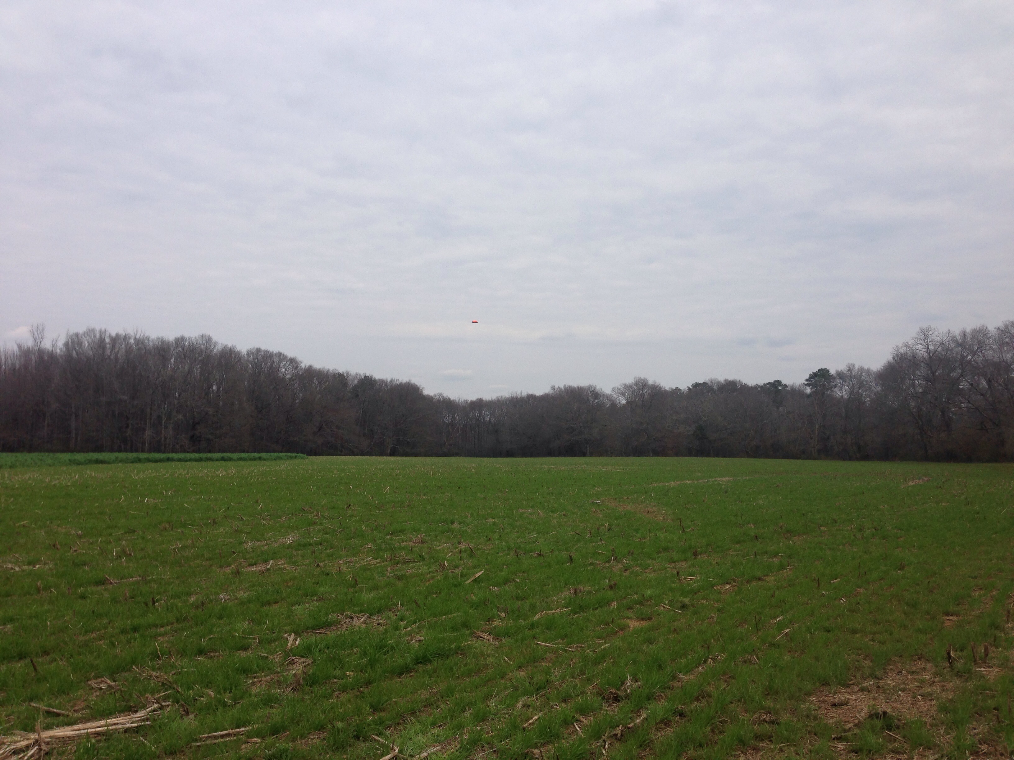
Bowden shooting adventure

Cows in the Evening Sun
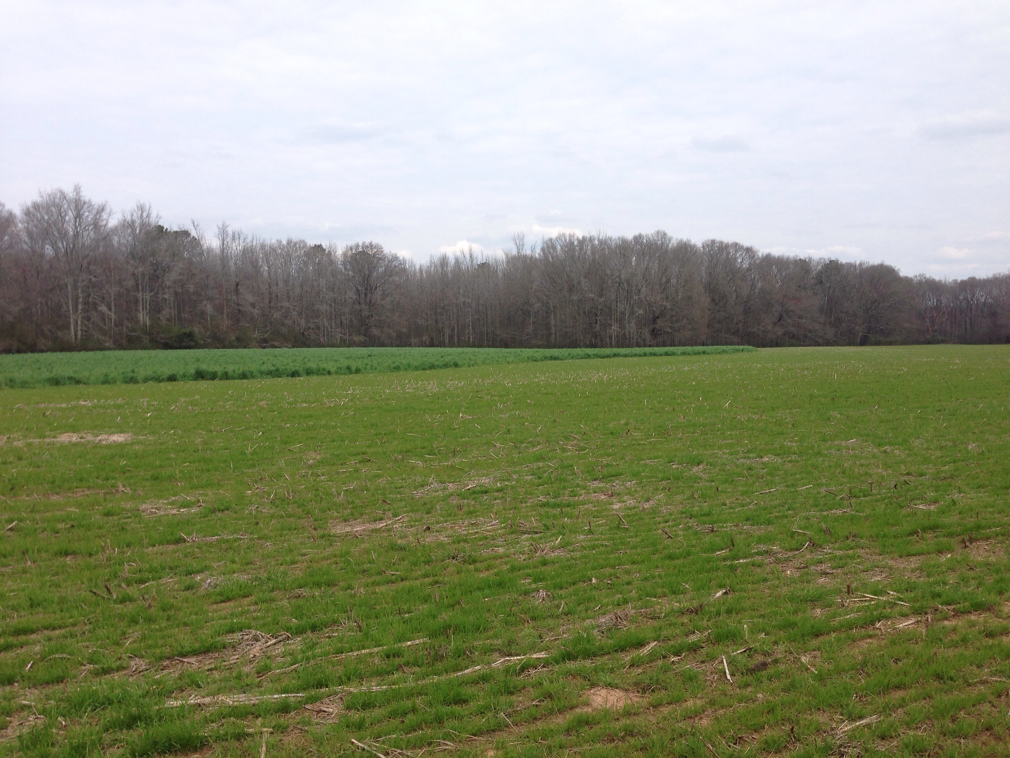
Bowden shooting adventure
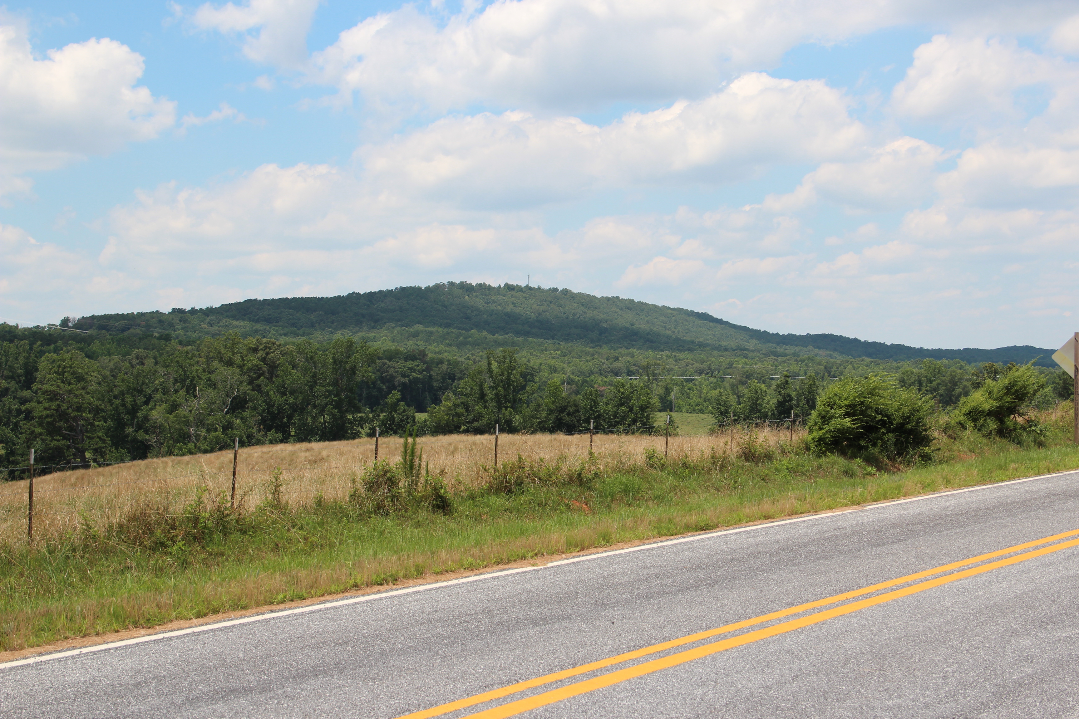
Blackjack Mountain
Topographic Map of GA-, Bowdon, GA, USA
Find elevation by address:

Places near GA-, Bowdon, GA, USA:
177 Stateline Rd
2376 Ga-100
Graham
1686 Reavesville Rd
Reavesville Road
754 Old Columbus Rd
Co Rd, Graham, AL, USA
Old Columbus Rd, Bowdon, GA, USA
Ranburne
Main St, Ranburne, AL, USA
Bowdon
616 E College St
611 E College St
611 E College St
Tanyard Rd, Bowdon, GA, USA
49 Stoney Point Rd, Bowdon, GA, USA
Co Rd 92, Graham, AL, USA
Roopville Veal Rd, Roopville, GA, USA
GA-, Bowdon, GA, USA
65 Beauchamp Rd
Recent Searches:
- Elevation of Corso Fratelli Cairoli, 35, Macerata MC, Italy
- Elevation of Tallevast Rd, Sarasota, FL, USA
- Elevation of 4th St E, Sonoma, CA, USA
- Elevation of Black Hollow Rd, Pennsdale, PA, USA
- Elevation of Oakland Ave, Williamsport, PA, USA
- Elevation of Pedrógão Grande, Portugal
- Elevation of Klee Dr, Martinsburg, WV, USA
- Elevation of Via Roma, Pieranica CR, Italy
- Elevation of Tavkvetili Mountain, Georgia
- Elevation of Hartfords Bluff Cir, Mt Pleasant, SC, USA