Elevation of G Path, Cotopaxi, CO, USA
Location: United States > Colorado > Cotopaxi >
Longitude: -105.51737
Latitude: 38.3287632
Elevation: 2309m / 7575feet
Barometric Pressure: 76KPa
Elevation Map:
Satellite Map:
Related Photos:

the Bunkhouse

The Bunkhouse - Beckwith Ranch - Westcliffe, CO

Pikes Peak viewed from southwest

Grape Creek

Sangre de Cristo Sunrise

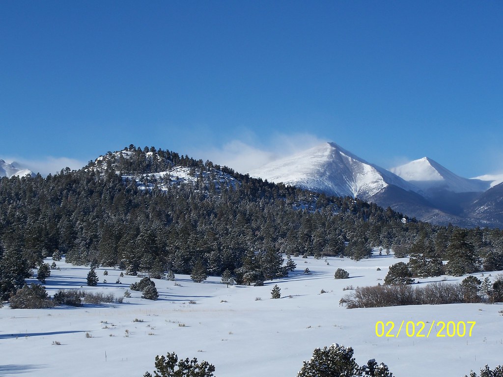
Early winter morning in Cotopaxi

PhotoContest-Udall10-9

PhotoContest-Udall10-3

PhotoContest-Udall10-8

PhotoContest-Udall10-6
PhotoContest-Udall10-1

iphone pano

Late Winter Along the Arkansas River

Arkansas River

U.S. Route 50 Colorado on the Arkansas River

GM_16-01-11_153241.jpg

Texas Creek Bridge, Arkansas River, Colorado

Arkansas Banks

Texas Creek Bridge

Arkansas River- Fremont County CO (2)

2016-07-29 - 211 of 365

Pinnacle Rock

Tumblin' down
Topographic Map of G Path, Cotopaxi, CO, USA
Find elevation by address:

Places near G Path, Cotopaxi, CO, USA:
563 Blazing Saddle Trail
D Path
1638 14th Trail
1638 14th Trail
339 16th Trail
839 17th Trail
Blazing Saddle Trail
941 Blazing Saddle Trail
3283 Co Rd 28
3283 Co Rd 28
4751 Co Rd 28
3018 Co Rd 28
1544 Pronghorn Path
2849 Co Rd 27a #2
36 Orlando Ln
Mount View Road
1420 Coyote Run
1605 Texas Creek Ln
1482 Texas Creek Ln
247 Shannon Trail
Recent Searches:
- Elevation of Corso Fratelli Cairoli, 35, Macerata MC, Italy
- Elevation of Tallevast Rd, Sarasota, FL, USA
- Elevation of 4th St E, Sonoma, CA, USA
- Elevation of Black Hollow Rd, Pennsdale, PA, USA
- Elevation of Oakland Ave, Williamsport, PA, USA
- Elevation of Pedrógão Grande, Portugal
- Elevation of Klee Dr, Martinsburg, WV, USA
- Elevation of Via Roma, Pieranica CR, Italy
- Elevation of Tavkvetili Mountain, Georgia
- Elevation of Hartfords Bluff Cir, Mt Pleasant, SC, USA