Elevation of Fulcher Rd, Hephzibah, GA, USA
Location: United States > Georgia > Richmond County > Hephzibah > Farmers Bridge >
Longitude: -82.123401
Latitude: 33.276223
Elevation: 124m / 407feet
Barometric Pressure: 100KPa
Elevation Map:
Satellite Map:
Related Photos:

View From the Car Window

Augusta Georgia USA

Augusta GA At Night
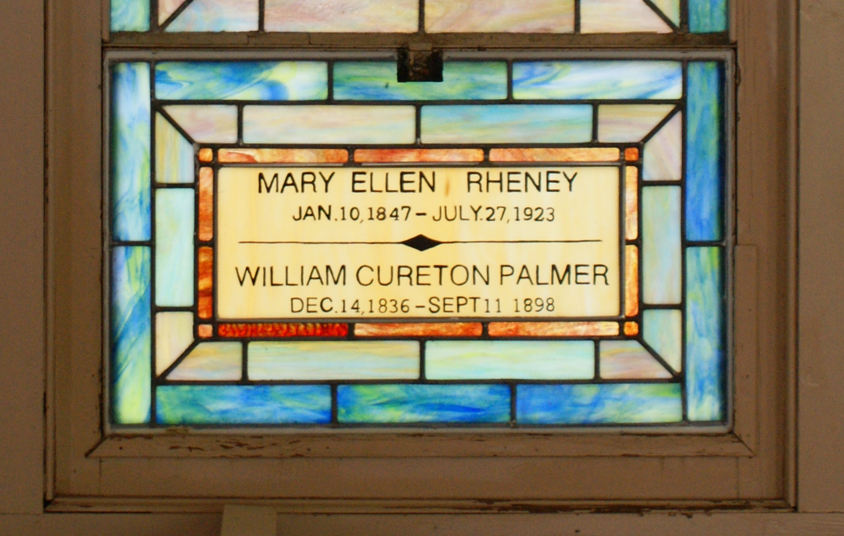
Clarks Chapel - Stained Glass Window, Close View

Fulcher Road Sunset Scene
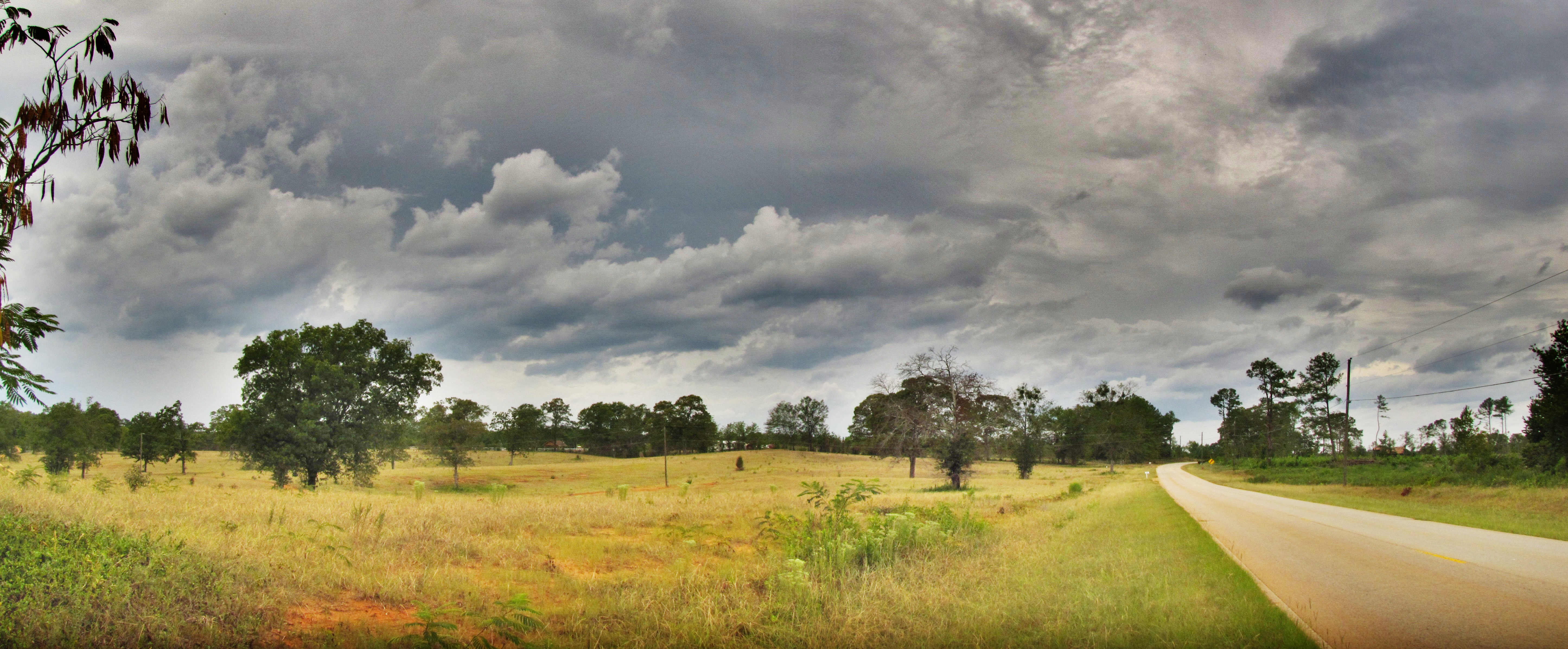
HDR of Fulcher Road

I'm back!

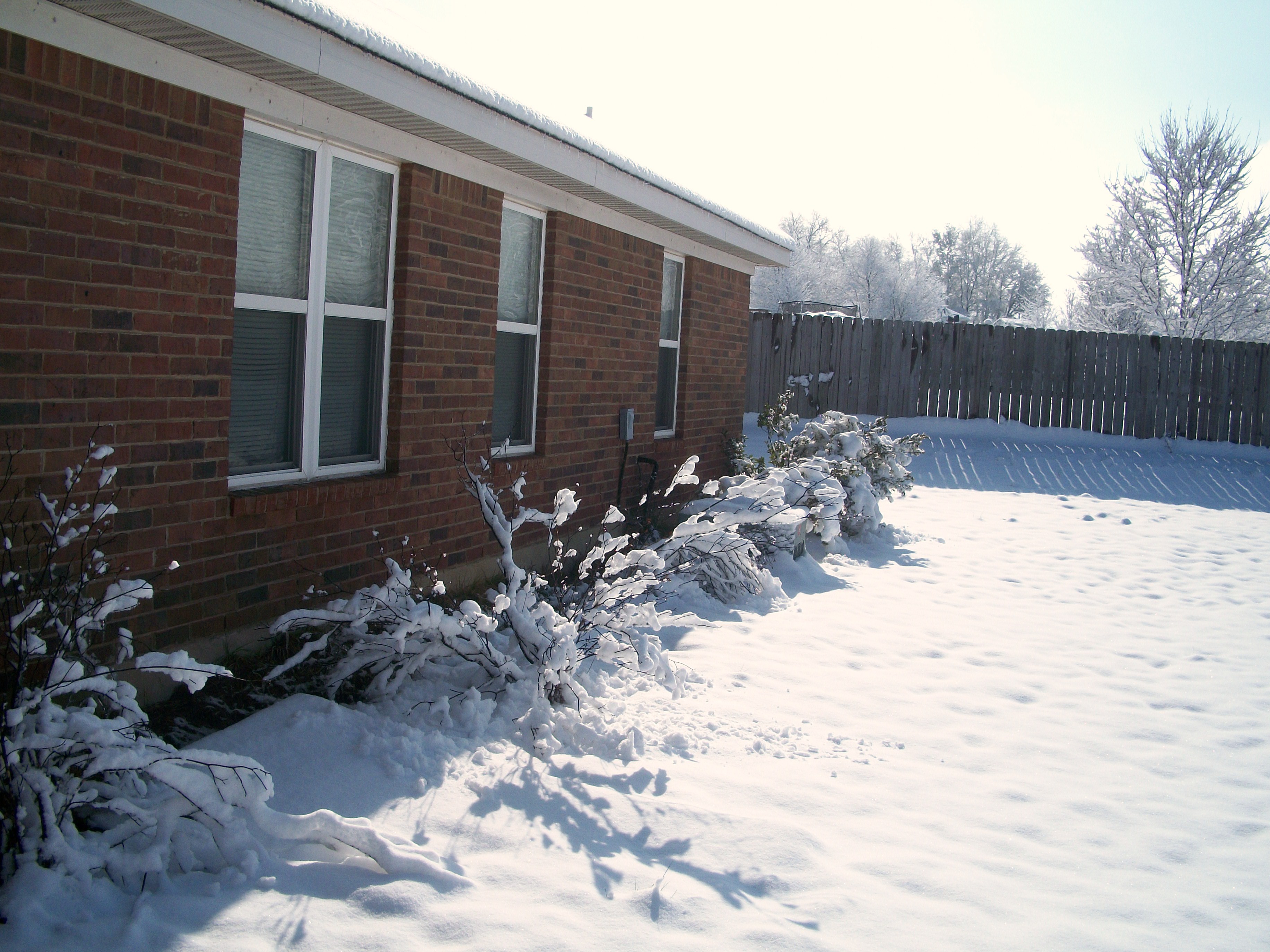
Winter 2010-7

Tornado Weather

Field of Flowers

Pecan Grove Field

Winter 2010-6
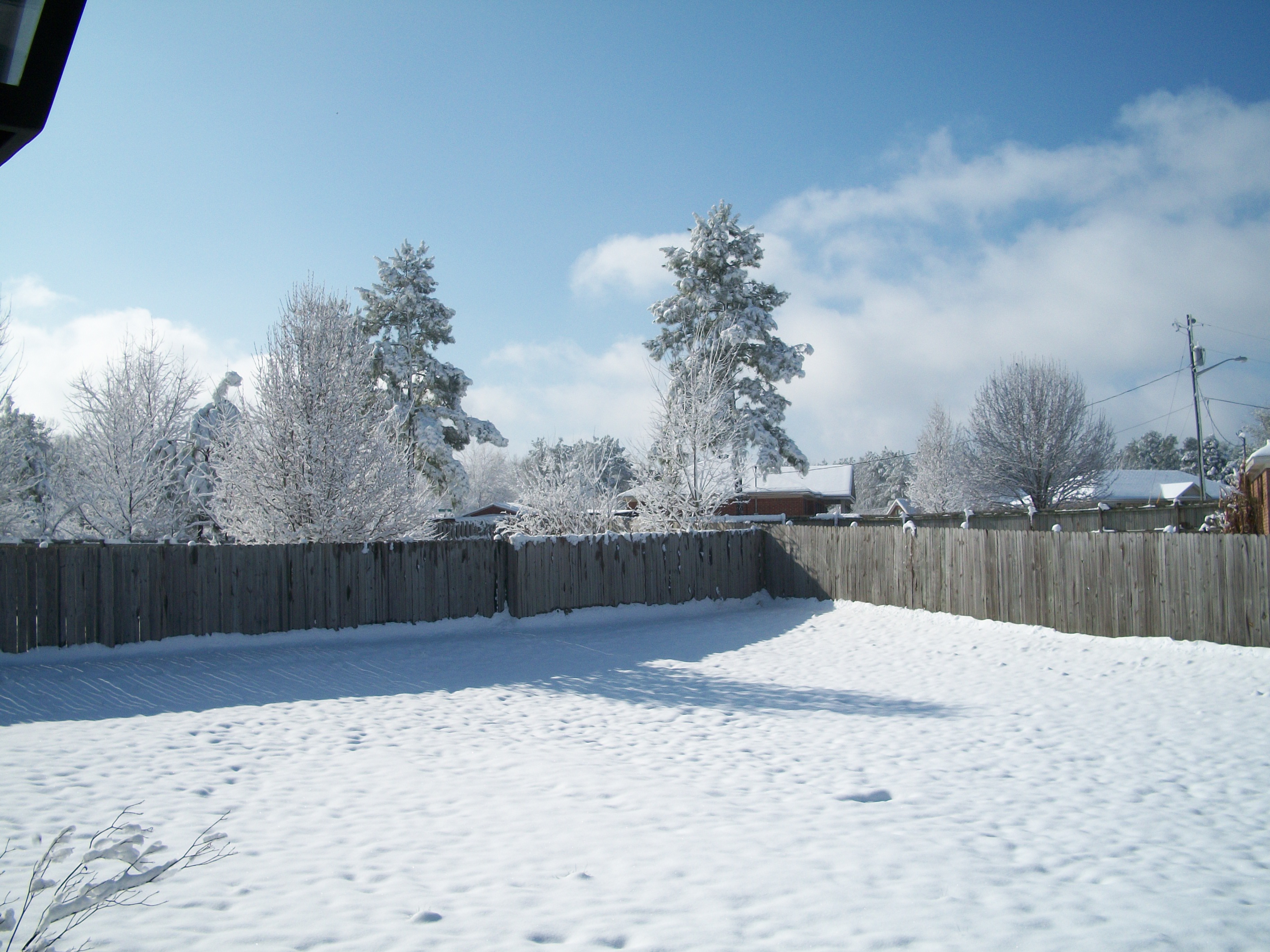
Winter 2010-4
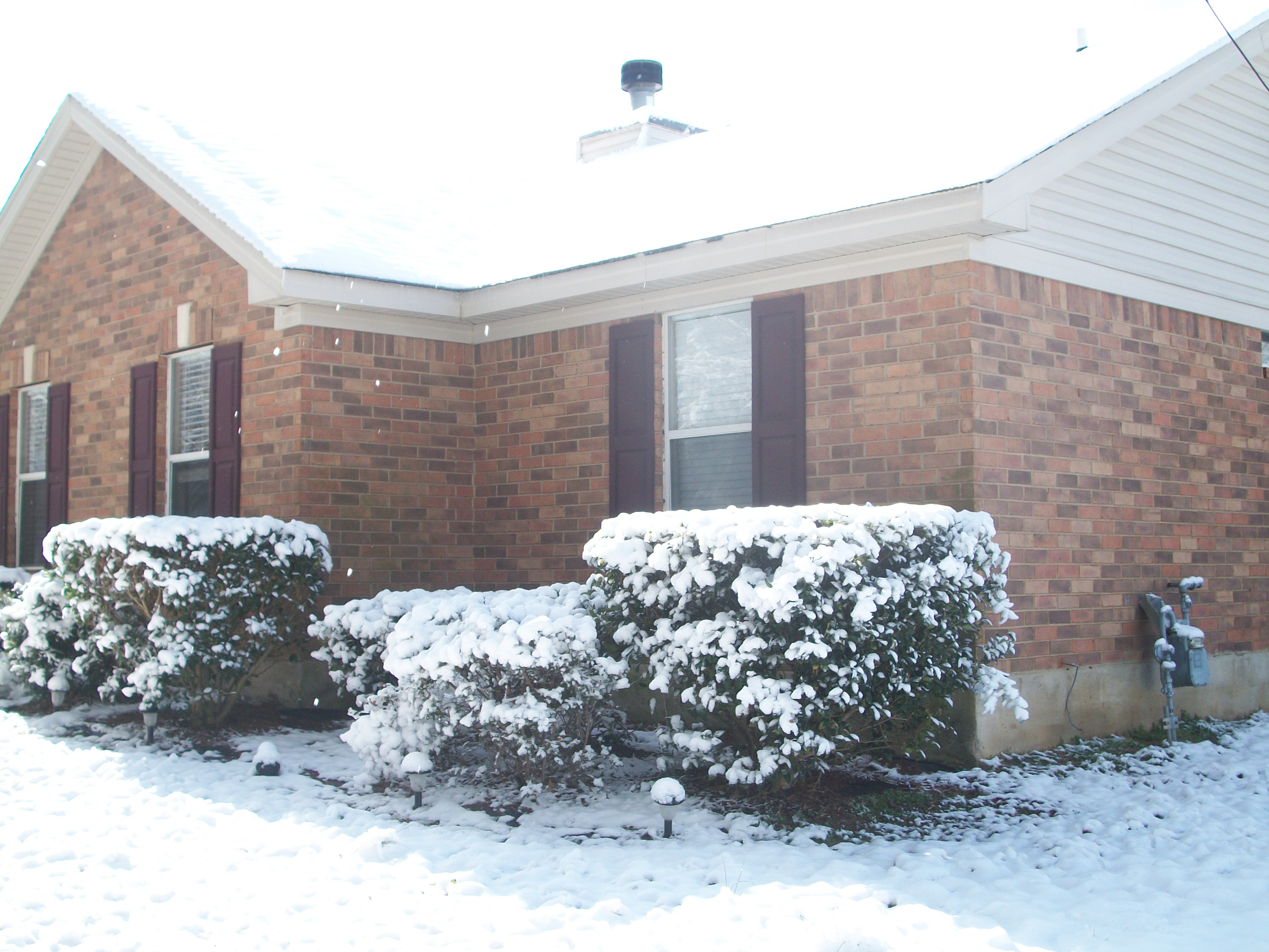
Winter 2010-8
Winter 2010-3
Topographic Map of Fulcher Rd, Hephzibah, GA, USA
Find elevation by address:

Places near Fulcher Rd, Hephzibah, GA, USA:
4620 Fulcher Rd
4668 Fulcher Rd
Farmers Bridge
Hephzibah
Richmond County
4054 Bath-edie Rd
Pinetucky
Bath-edie
Ginhouse Rd, Blythe, GA, USA
Blythe
Parwood Rd, Blythe, GA, USA
Antlers Trail
Walton Farms
1733 Ethan Way
Town And Country Park
4103 Broxton Ct
Deans Bridge Rd, Hephzibah, GA, USA
Spanish Trace
2832 Hoods Dr
Sonic Drive-in
Recent Searches:
- Elevation of Corso Fratelli Cairoli, 35, Macerata MC, Italy
- Elevation of Tallevast Rd, Sarasota, FL, USA
- Elevation of 4th St E, Sonoma, CA, USA
- Elevation of Black Hollow Rd, Pennsdale, PA, USA
- Elevation of Oakland Ave, Williamsport, PA, USA
- Elevation of Pedrógão Grande, Portugal
- Elevation of Klee Dr, Martinsburg, WV, USA
- Elevation of Via Roma, Pieranica CR, Italy
- Elevation of Tavkvetili Mountain, Georgia
- Elevation of Hartfords Bluff Cir, Mt Pleasant, SC, USA