Elevation of Antlers Trail, Georgia, USA
Location: United States > Georgia > Richmond County > Hephzibah >
Longitude: -82.056697
Latitude: 33.2265839
Elevation: 87m / 285feet
Barometric Pressure: 100KPa
Elevation Map:
Satellite Map:
Related Photos:

View From the Car Window

Augusta Georgia USA

Augusta GA At Night

Clarks Chapel - Stained Glass Window, Close View

View from back porch

I'm back!
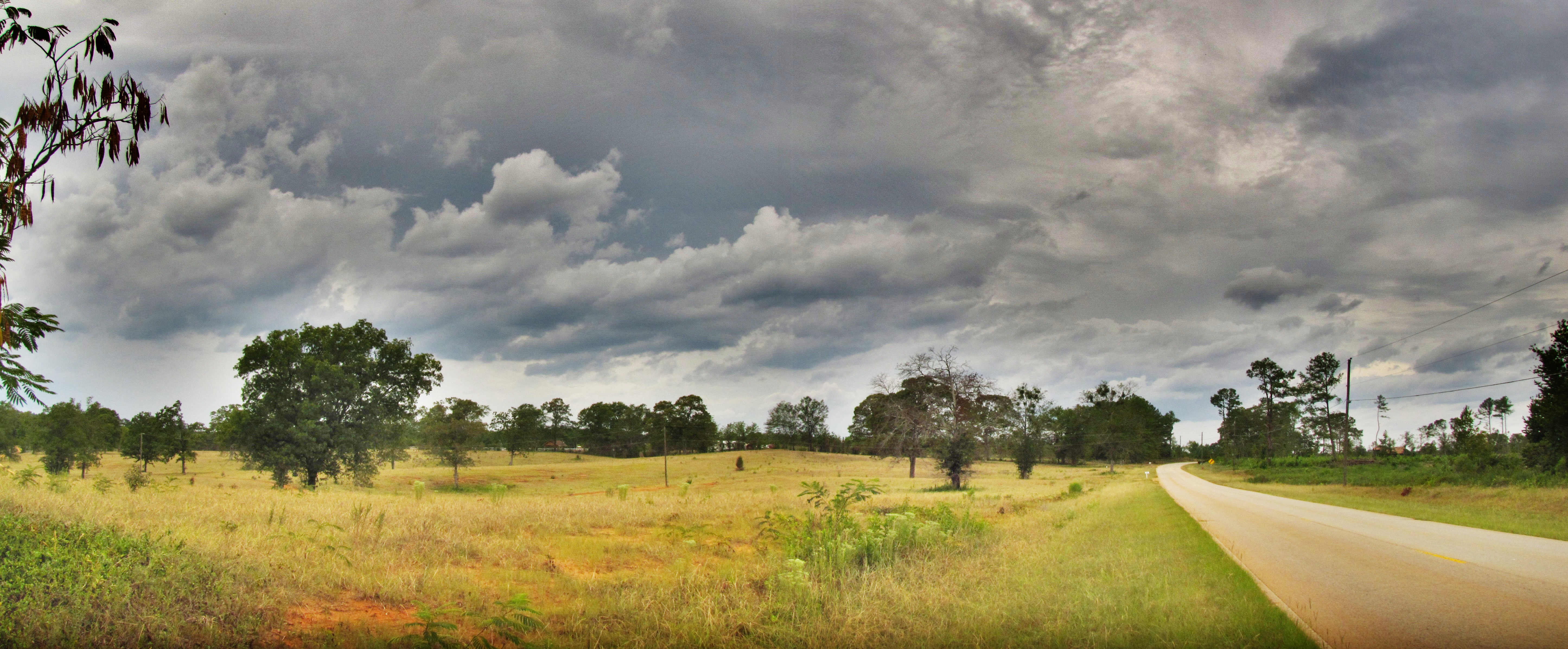
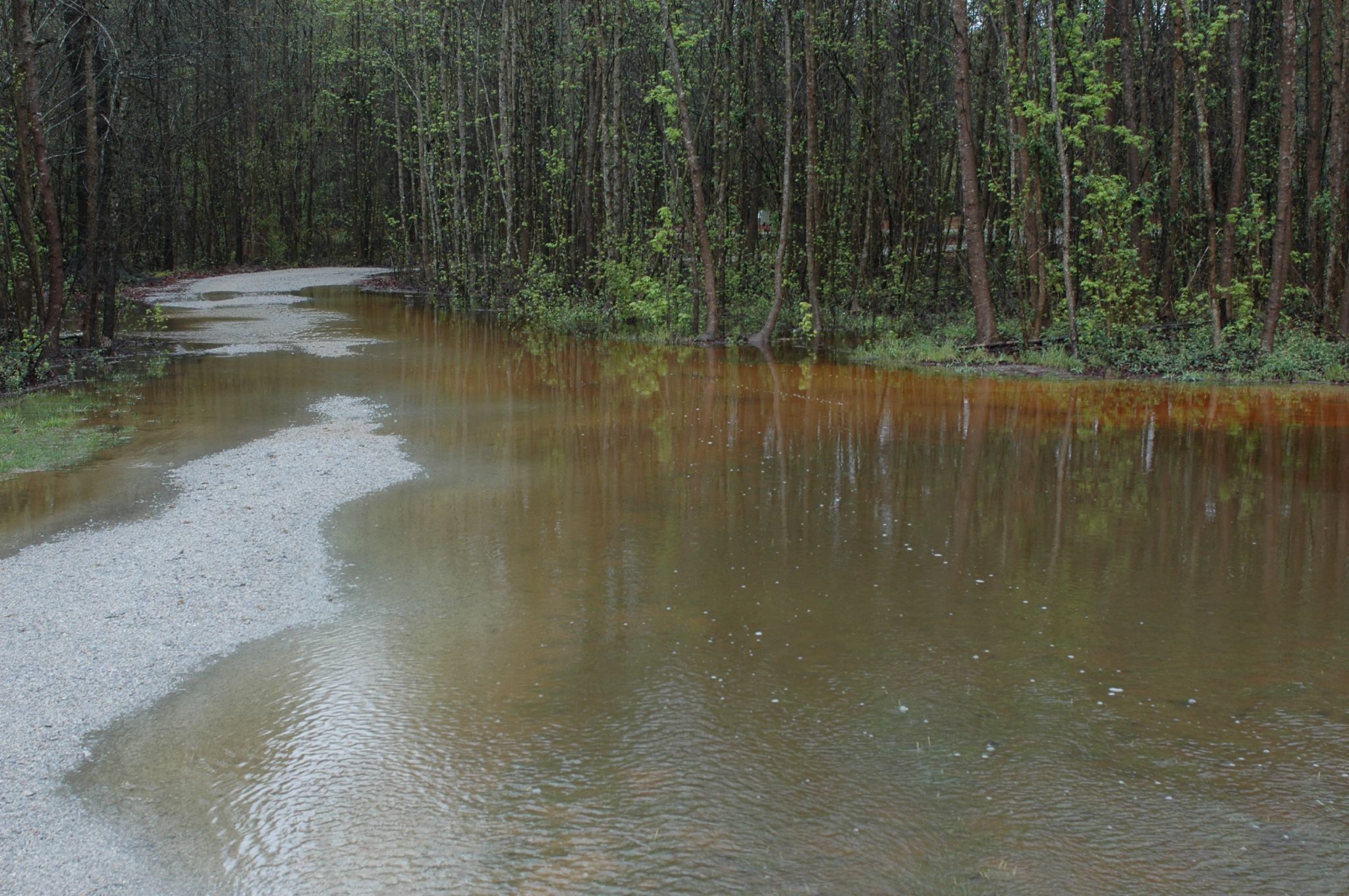
HDR of Fulcher Road

Winter 2010-7

Field of Flowers

Pecan Grove Field

Tornado Weather

Winter 2010-6
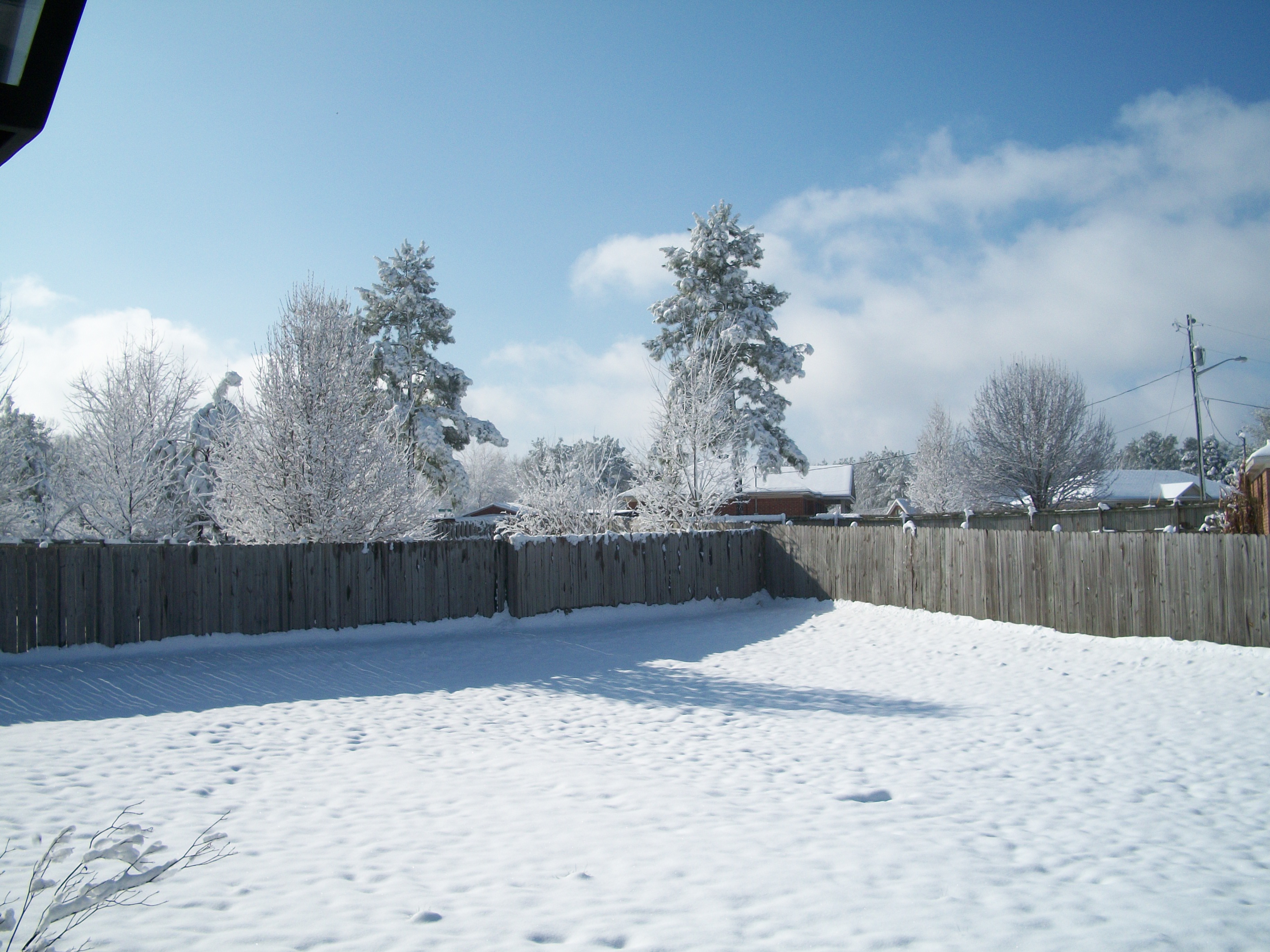
Winter 2010-4
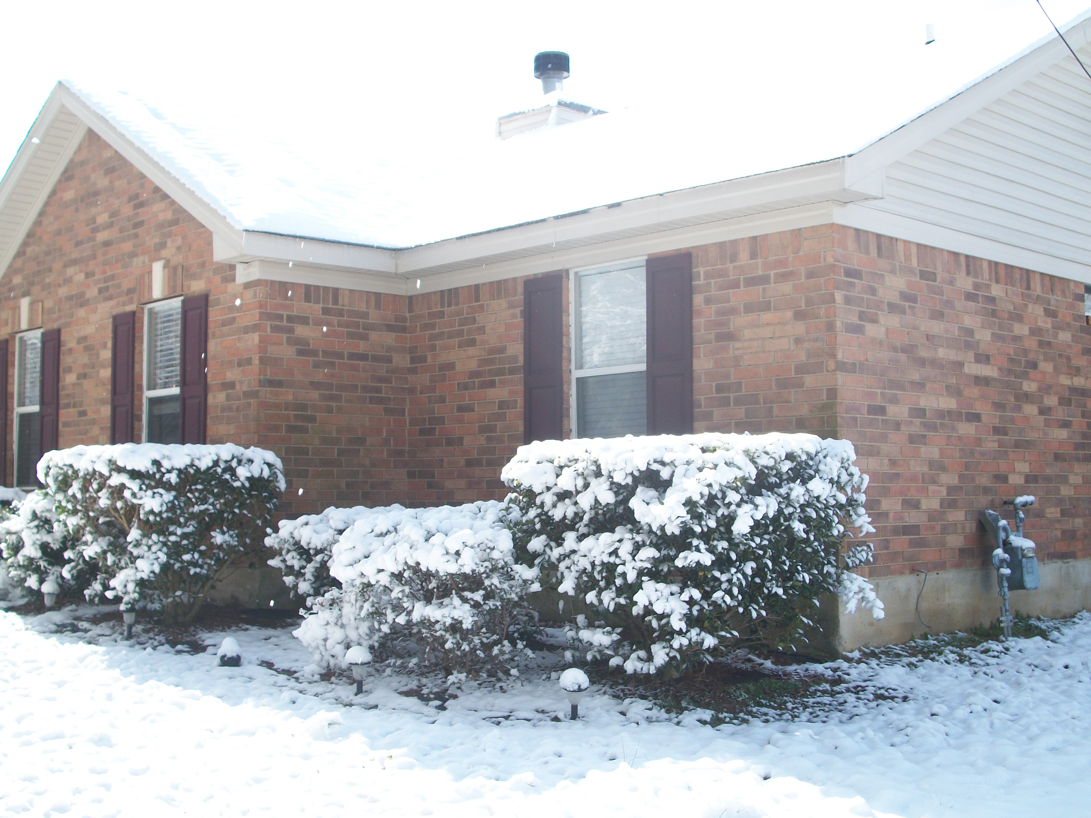
Winter 2010-8
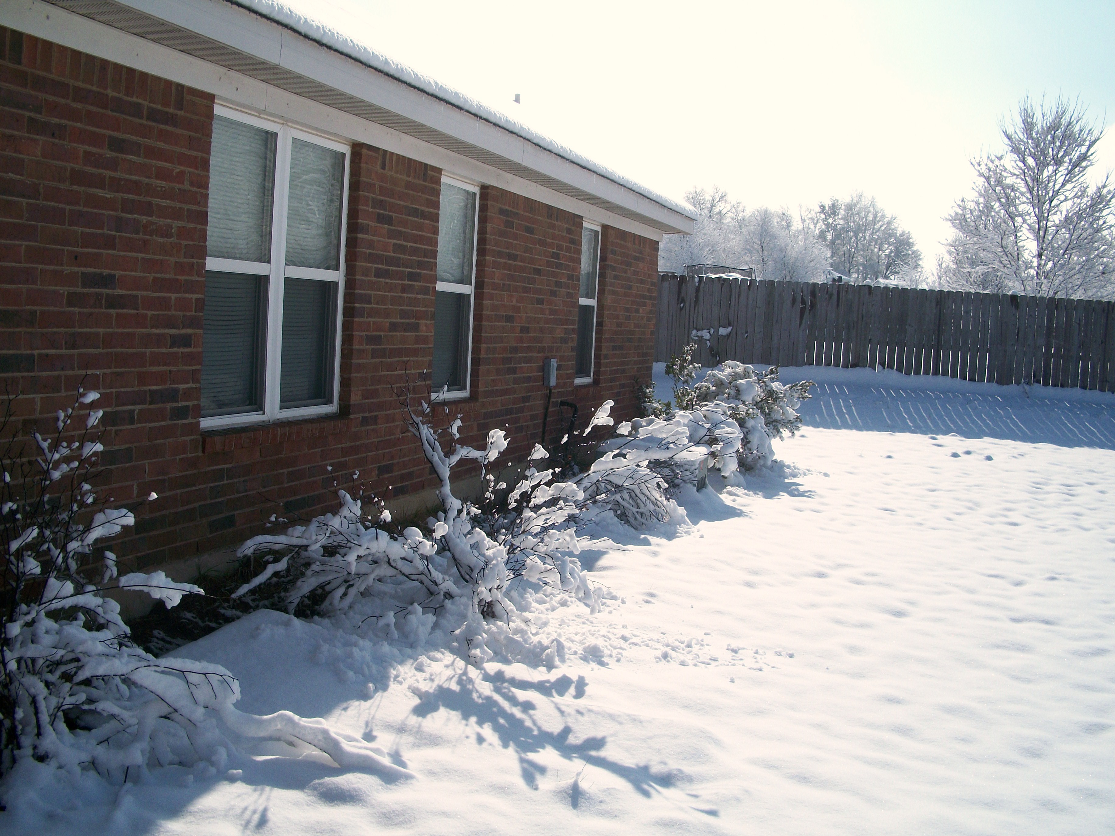
Winter 2010-3
front drive way
Topographic Map of Antlers Trail, Georgia, USA
Find elevation by address:

Places near Antlers Trail, Georgia, USA:
4668 Fulcher Rd
4610 Fulcher Rd
4620 Fulcher Rd
Farmers Bridge
Mcbean
Hephzibah
Richmond County
5047 Mike Padgett Hwy
4669 Rollins Rd
Centurion Dr, Hephzibah, GA, USA
1915 Mcdade Rd
2516 Southern Crossing
1448 Common Wealth Way
Spirit Pointe
Goshen
4026 Indian Hills Dr
3818 Byrd Rd
Augusta-richmond County, Ga-sc
Pinetucky
Gracewood State School
Recent Searches:
- Elevation of Corso Fratelli Cairoli, 35, Macerata MC, Italy
- Elevation of Tallevast Rd, Sarasota, FL, USA
- Elevation of 4th St E, Sonoma, CA, USA
- Elevation of Black Hollow Rd, Pennsdale, PA, USA
- Elevation of Oakland Ave, Williamsport, PA, USA
- Elevation of Pedrógão Grande, Portugal
- Elevation of Klee Dr, Martinsburg, WV, USA
- Elevation of Via Roma, Pieranica CR, Italy
- Elevation of Tavkvetili Mountain, Georgia
- Elevation of Hartfords Bluff Cir, Mt Pleasant, SC, USA