Elevation of Fugu Norte, Tumauini, Isabela, Philippines
Location: Philippines > Cagayan Valley > Isabela > Tumauini >
Longitude: 121.786500
Latitude: 17.347037
Elevation: 31m / 102feet
Barometric Pressure: 101KPa
Elevation Map:
Satellite Map:
Related Photos:

WOW
CAGAYAN PROVINCE

WOW SANTA MARIA

UNDER THE BRIDGE

TRANSPORT OF WATER

THE BRIDGE

TOWN CENTER

SIDES OF STREET
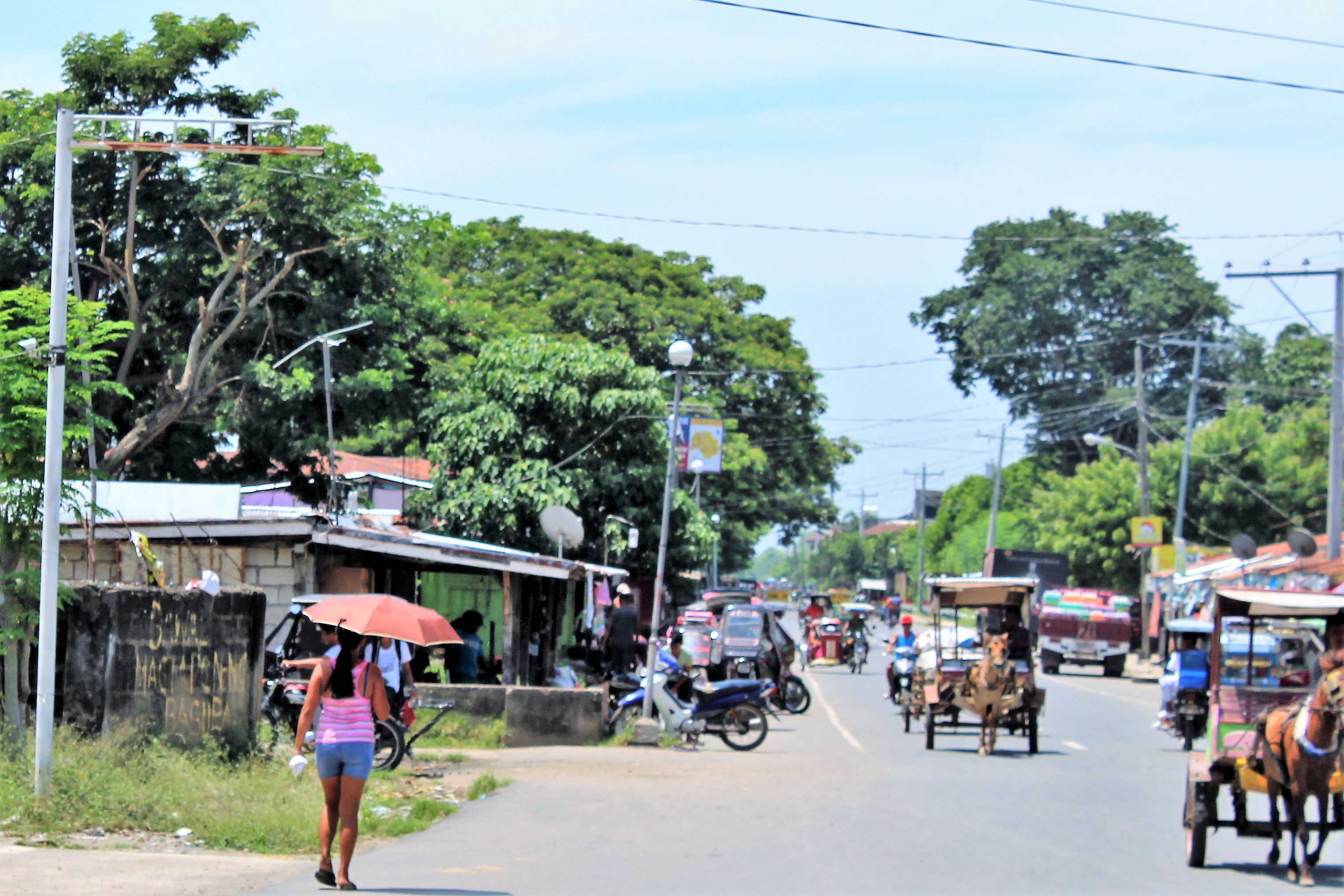
STREET SCENE

THIS WAY

ROAD TRIP

MY STOPOVER

FOR SALE

DRYING RICE

IDLE LAND

BY THE ROADSIDE

BLESSED MARY

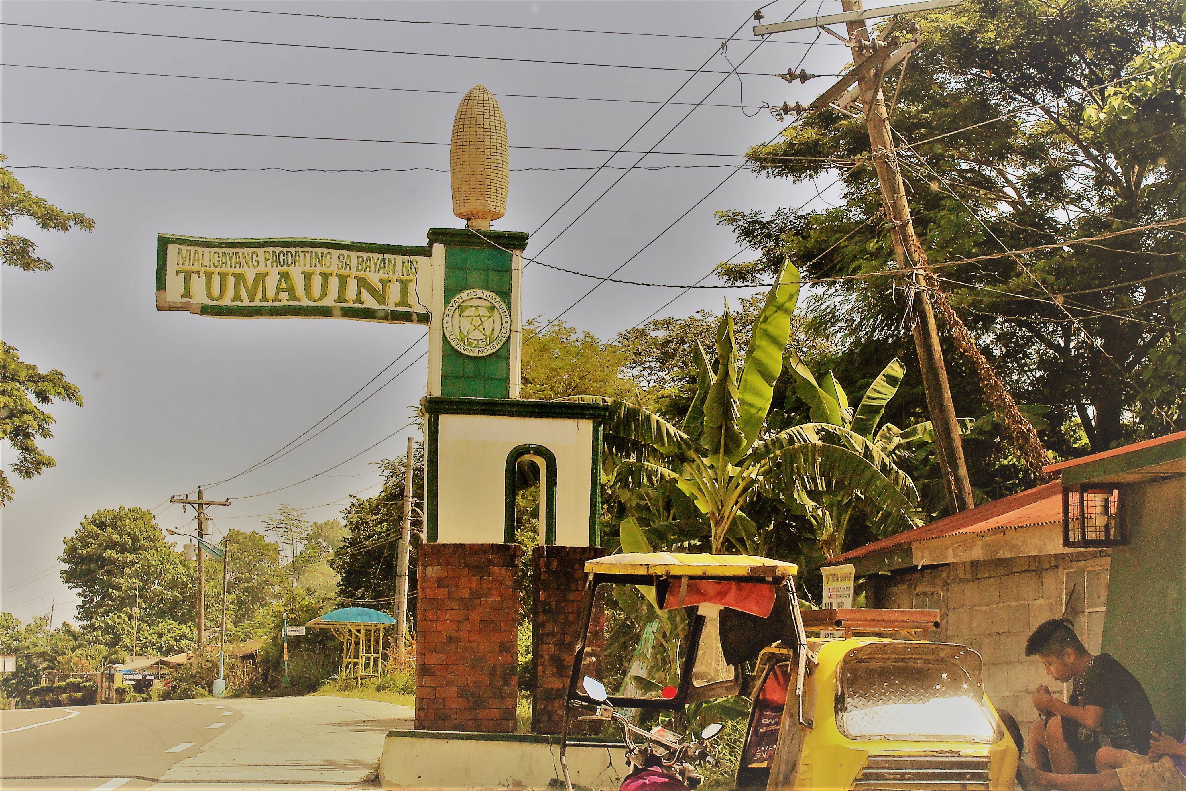
AT THE ARCH

BIRDS ON JARS

THE ONLY SON

XENTRO MALL

THE QUEUE
Topographic Map of Fugu Norte, Tumauini, Isabela, Philippines
Find elevation by address:

Places near Fugu Norte, Tumauini, Isabela, Philippines:
Tumauini Public Market
Tumauini
Ilagan
Rizal
San Francisco Elementary School
Tabuk - Rizal Road
Nambaran
Cagayan Valley Road
Cagayan Valley Road
Cagayan Valley Road
Enrile
Libag Sur
Tuguegarao City
Pengue-ruyu Elementary School
Munoz East
Roxas Freedom Park
Roxas
Pengue-ruyu Elementary School
Tuguegarao Airport
Buringal
Recent Searches:
- Elevation of Corso Fratelli Cairoli, 35, Macerata MC, Italy
- Elevation of Tallevast Rd, Sarasota, FL, USA
- Elevation of 4th St E, Sonoma, CA, USA
- Elevation of Black Hollow Rd, Pennsdale, PA, USA
- Elevation of Oakland Ave, Williamsport, PA, USA
- Elevation of Pedrógão Grande, Portugal
- Elevation of Klee Dr, Martinsburg, WV, USA
- Elevation of Via Roma, Pieranica CR, Italy
- Elevation of Tavkvetili Mountain, Georgia
- Elevation of Hartfords Bluff Cir, Mt Pleasant, SC, USA