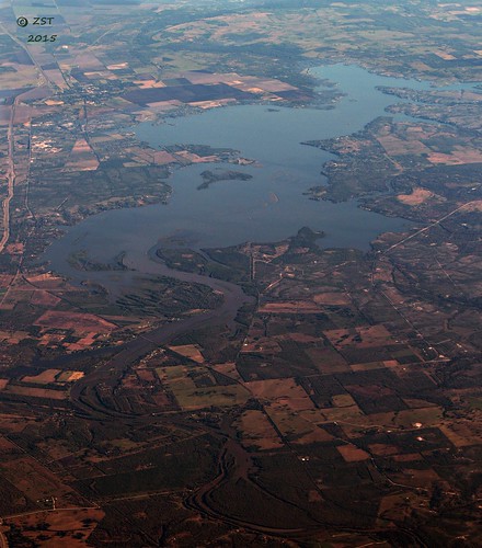
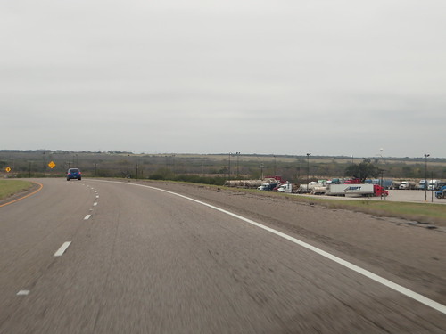
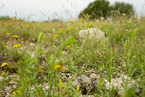
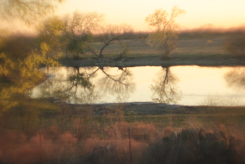
Elevation of Frio River, Texas, USA
Location: United States > Texas > Live Oak County > Three Rivers >
Longitude: -98.194229
Latitude: 28.4499442
Elevation: 35m / 115feet
Barometric Pressure: 101KPa
Related Photos:
Topographic Map of Frio River, Texas, USA
Find elevation by address:

Places near Frio River, Texas, USA:
Three Rivers
1401 N Harborth Ave
1256 Fm889
George West
3706 Us-59
Live Oak County
FM, George West, TX, USA
Co Rd, Kenedy, TX, USA
George West, TX, USA
Campbellton
FM 99, Campbellton, TX, USA
142 Peninsula Dr
5763 Chaparral Trail
5600 Valley Oaks Dr
3021 Fm799
Salazar Dr, Beeville, TX, USA
Beeville
S St Marys St, Beeville, TX, USA
Co Rd 13F, Mathis, TX, USA
South Archer Street
Recent Searches:
- Elevation of Corso Fratelli Cairoli, 35, Macerata MC, Italy
- Elevation of Tallevast Rd, Sarasota, FL, USA
- Elevation of 4th St E, Sonoma, CA, USA
- Elevation of Black Hollow Rd, Pennsdale, PA, USA
- Elevation of Oakland Ave, Williamsport, PA, USA
- Elevation of Pedrógão Grande, Portugal
- Elevation of Klee Dr, Martinsburg, WV, USA
- Elevation of Via Roma, Pieranica CR, Italy
- Elevation of Tavkvetili Mountain, Georgia
- Elevation of Hartfords Bluff Cir, Mt Pleasant, SC, USA
