Elevation of Fraysher Ln, Oak Creek, CO, USA
Location: United States > Colorado > Routt County > Oak Creek >
Longitude: -106.84446
Latitude: 40.263728
Elevation: 2260m / 7415feet
Barometric Pressure: 77KPa
Elevation Map:
Satellite Map:
Related Photos:

Around Yampa at dusk

Flattops View from Yampa Ranch

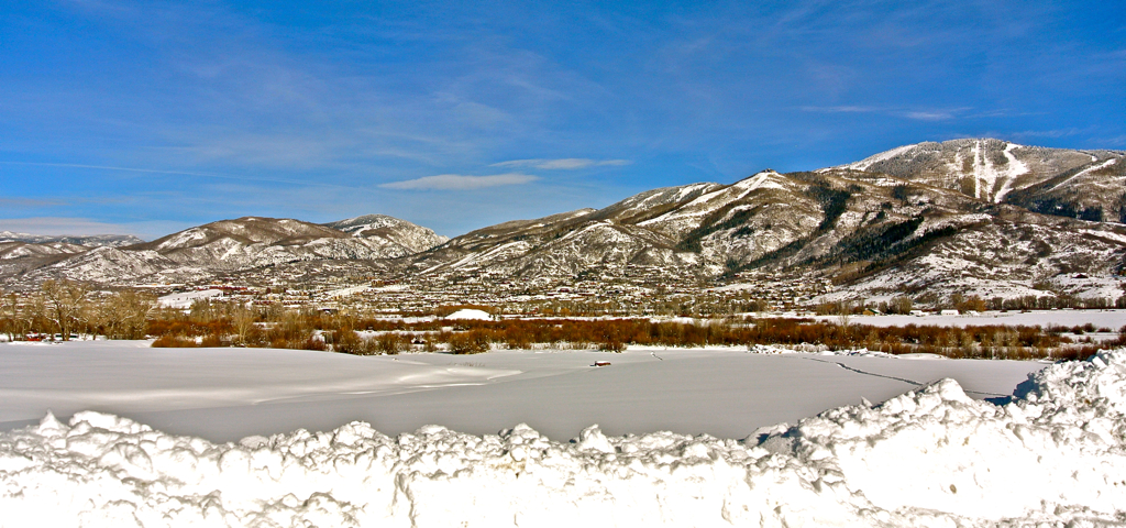
The snowy view

The view from the Cabin

View of Lake Catamount from Highway 40 1

View of Lake Catamount from Highway 40

chris ranch

Ready to Depart Phippsburg

Blacktail Mountain Panorama

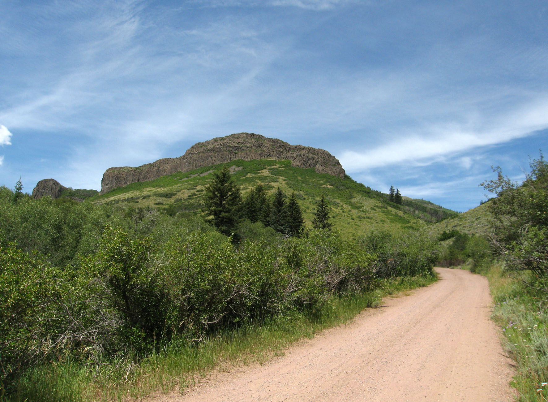
Rock, near Yampa, Colorado

Finger Rock, near Yampa, Colorado
the vastness of country - ( EXPLORED )

Hayfield in Yampa, Colorado

Finger Rock Panorama

South Valley_Panorama2

Stagecoach Park Autumn pond

The Storm at the Ranch

Blacktail Mountain Beneath the Stars // 24mm f/2.8 // #stagecoach #statepark #valley #blacktail #mountain #oak #creek #longexposure #night #stars #milkway #nightsky #moonlight #field #brush #landscape

Fields of Land and Stars // 24mm f/2.8 // #stagecoach #statepark #valley #blacktail #mountain #oak #creek #longexposure #night #stars #milkway #nightsky #moonlight #field #brush #landscape
Stagecoach State Park - Colorado

Flattops Mountains
Red, white, green

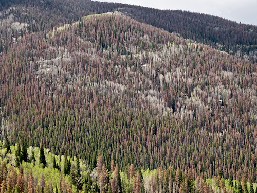
Volcanic plugs in Routt County (2 of 2)

Kids On A Mission To Get Shoes Muddy
Topographic Map of Fraysher Ln, Oak Creek, CO, USA
Find elevation by address:

Places near Fraysher Ln, Oak Creek, CO, USA:
21245 Co Rd 16
Stagecoach State Park
Woodchuck Hill
Blacktail Mountain
22535 Cheyenne Trail
30050 Hibbert Ln
29875 Hibbert Ln
30150 Hibbert Ln
33450 Filly Trail
33566 Seneca Trail
33015 Ramuda Trl
Shay Way
Whiffle Tree Trail
28400 Thorpe Mtn Dr
Runaway Place
17850 Co Rd 16
Lone Spring Butte
Rushing Water Lane
35020 Country Green Ln
Walton Peak
Recent Searches:
- Elevation of Corso Fratelli Cairoli, 35, Macerata MC, Italy
- Elevation of Tallevast Rd, Sarasota, FL, USA
- Elevation of 4th St E, Sonoma, CA, USA
- Elevation of Black Hollow Rd, Pennsdale, PA, USA
- Elevation of Oakland Ave, Williamsport, PA, USA
- Elevation of Pedrógão Grande, Portugal
- Elevation of Klee Dr, Martinsburg, WV, USA
- Elevation of Via Roma, Pieranica CR, Italy
- Elevation of Tavkvetili Mountain, Georgia
- Elevation of Hartfords Bluff Cir, Mt Pleasant, SC, USA