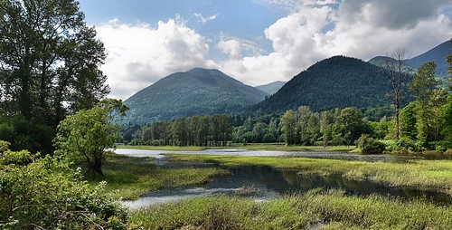
Elevation of Fraser Valley G, BC, Canada

Location: Canada > British Columbia > Fraser Valley >

Longitude: -122.13375

Latitude: 49.1768012

Elevation: 14m / 46feet

Barometric Pressure: 101KPa

Elevation Map:

elevation map of Fraser Valley G, BC, Canada

Satellite Map:

Satellite map of Fraser Valley G, BC, Canada

Related Photos:

greatphotographers
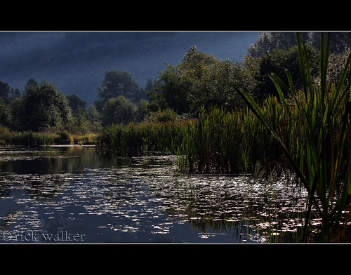
View from my lunchspot today...
greatphotographers
View from my lunchspot today...
greatphotographers
View from my lunchspot today... EXPLORED !!! WOO HOO !!!
greatphotographers
View from my lunchspot today...
greatphotographers
View from my lunchspot today...
sunset usa moon canada volcano washington bc britishcolumbia columbia cascades british washingtonstate gibbous mtbaker
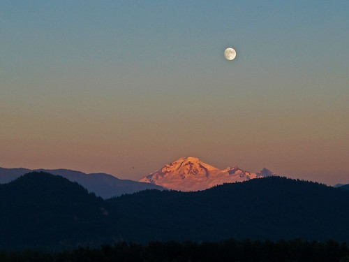
Moonrise over Mt. Baker
View from my lunchspot today...
greatphotographers
View from my lunchspot today...
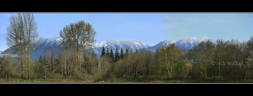
panorama snow mountains field vancouver clouds river geotagged farms fraser hdr abbotsford 2010 chilliwack fraservalley janusz leszczynski veddercanal 005251 geo:lat=49131759 geo:lon=122093237
Fraser Valley
blue clouds landscape britishcolumbia cloudscape abbotsford fraservalley matsqui decluttr kvdl
the valley.
chilliwack greatblueheronnaturereserve
DSB_0333 (Medium)
View from my lunchspot today...
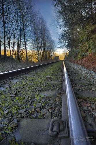
train geotagged grain tracks railway fraserriver hdr windex abbotsford chilliwack fraservalley breadcrumbs janusz leszczynski veddercanal geo:lat=49138765 geo:lon=122102672 004639
Bread Crumbs
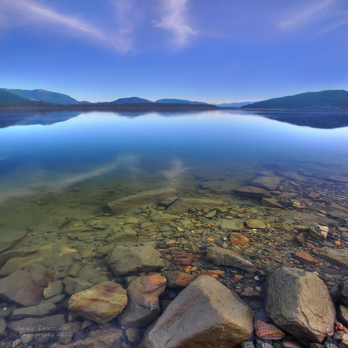
river geotagged rocks filter polarizer fraserriver hdr abbotsford fills walkingonwater mountaind janusz leszczynski sky” “big infinestyle artofimages bestcapturesaoi 003452 geo:lon=12208674 geo:lat=49143959
Walking on water
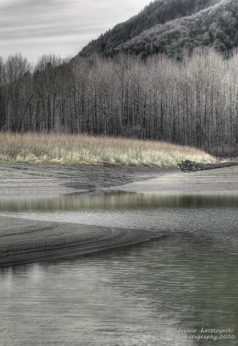
bw mountain geotagged photographic hills fraserriver hdr abbotsford chilliwack sophistication janusz leszczynski veddercanal geo:lat=4914365 geo:lon=122091236 000246
Futile attempt at photographic sophistication
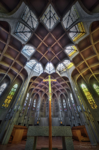
church abbey westminsterabbey geotagged catholic bc cross monastery mission benedictine hdr reachingout janusz leszczynski 012342 geo:lat=49153443 geo:lon=122270617
Reaching out
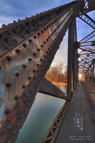
bridge train geotagged canal tracks railway fraserriver hdr abbotsford chilliwack vedder fraservalley goingnuts janusz leszczynski geo:lat=49138253 geo:lon=122096807 003137
Going Nuts
greatphotographers
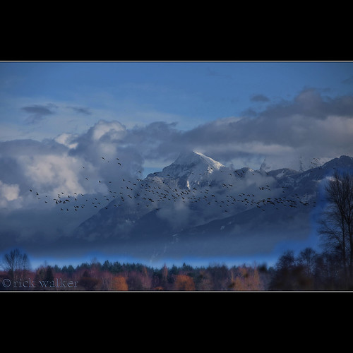
...sure, but do the Geese actually fly South for the Winter ???
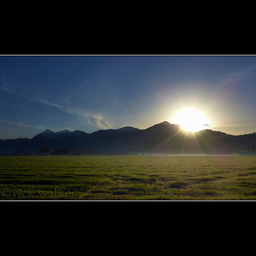
Sunrise over Elk this morning...
greatphotographers
[ old orchard road barn ]
trees nature beautiful barn canon wonderful fantastic glow hiking gorgeous awesome smooth 5d backlit mothernature chilliwack countrylife fraservalley rurallife snowless greatphotographers nearme 7020028is x2extender cjack clubtread topazed chilliwackjack iadjustedit
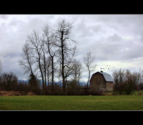
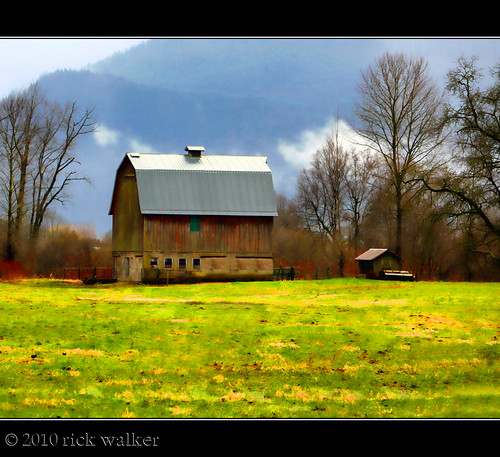
Old Orchard Barn...
arunnikond90nikond90cheampeakmountcheammountcheamcheampeaktheethuhlkayskagitrangeofthecanadiancascadesmountainsfraservalley risingabovebridalfallsandagassizjusteastofchilliwack andwestofhopebritishcolumbia
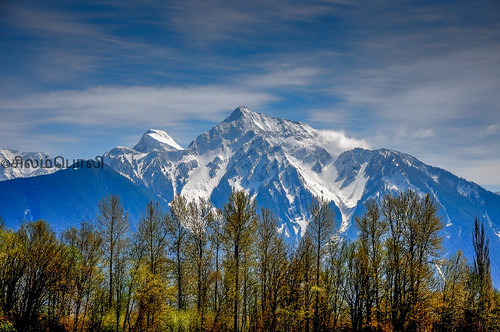
Mount Cheam
greatphotographers
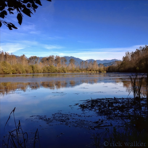
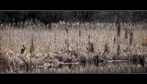
The West Lagoon at GBHNR...
greatphotographers
[ the sentinel ]
2014-01-05 14.16.17 HDR
2014-01-05 14.16.11
2013-12-28 16.04.41 HDR
square lofi squareformat iphoneography instagramapp uploaded:by=instagram foursquare:venue=4bb37cf32397b713252b38b3
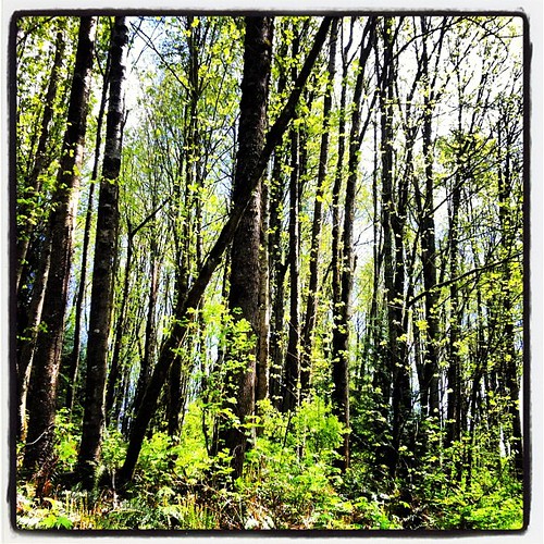
Mountain biking with AC on Sumas Mountain #abbotsford
trees light panorama green nature beautiful wonderful river easter fantastic warm gorgeous awesome like glorious stunning colourful dike mothernature chilliwack countrylife fraservalley iloveit sweeeeeeeeet verygreen nearme cjack clubtread vedderriver thankyoujesus fromthedike chilliwackjack vedderdike inchilliwack canon5d7020028isx2extender
From the Dyke...
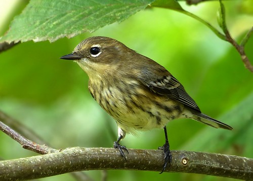
warbler yellowrumped audubons yellowrumpedwarbler coronata setophaga setophagacoronata femalesetophagacoronata
Yellow-Rumped Warbler
canada mountains landscape britishcolumbia wetlands deroche nikond7000 nikkor18to200mmvrlens zaitscullachanslough
Tremblay Island Road Landscape