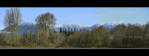
Elevation of Deroche, BC V0M, Canada

Location: Canada > British Columbia > Fraser Valley > Fraser Valley G >

Longitude: -122.07298

Latitude: 49.188179

Elevation: 20m / 66feet

Barometric Pressure: 101KPa

Elevation Map:

elevation map of Deroche, BC V0M, Canada

Satellite Map:

Satellite map of Deroche, BC V0M, Canada

Related Photos:

greatphotographers
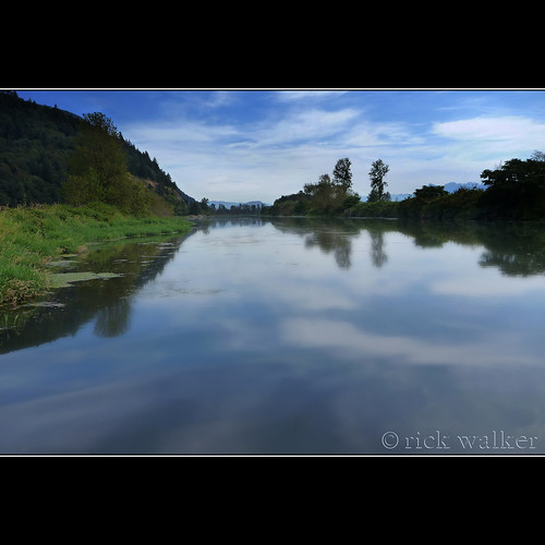
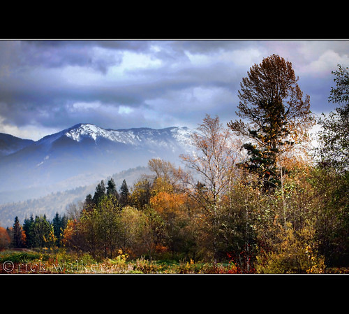
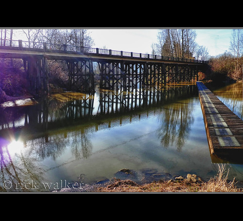
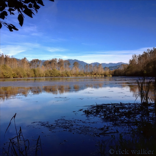
View from my lunchspot today...
greatphotographers
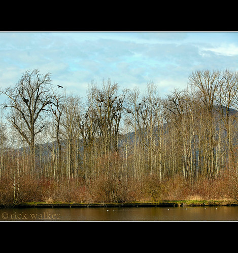
View from my lunchspot today...
greatphotographers
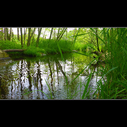
View from my lunchspot today... EXPLORED !!! WOO HOO !!!
greatphotographers
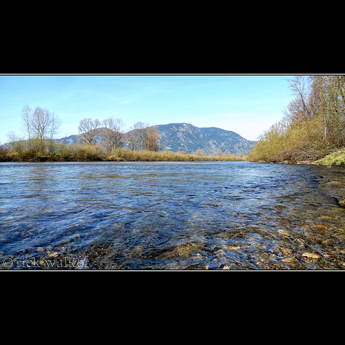
View from my lunchspot today...
greatphotographers
View from my lunchspot today...
greatphotographers
View from my lunchspot today...
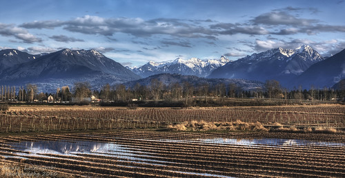
panorama snow mountains field vancouver clouds river geotagged farms fraser hdr abbotsford 2010 chilliwack fraservalley janusz leszczynski veddercanal 005251 geo:lat=49131759 geo:lon=122093237
Fraser Valley
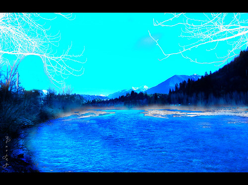
blue trees snow canada mountains nature river geotagged scenery scenic bluesky thursday vedder bytheriver otw beautifulbritishcolumbia nikond40 skycloudssun chilliwackbc bluejay2006 dragondaggerphoto novavitanewlife geo:lat=49097532 geo:lon=121986523
Just blue
chilliwack greatblueheronnaturereserve
DSB_0333 (Medium)
View from my lunchspot today...
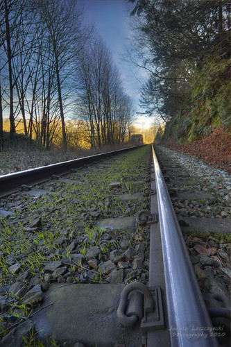
train geotagged grain tracks railway fraserriver hdr windex abbotsford chilliwack fraservalley breadcrumbs janusz leszczynski veddercanal geo:lat=49138765 geo:lon=122102672 004639
Bread Crumbs
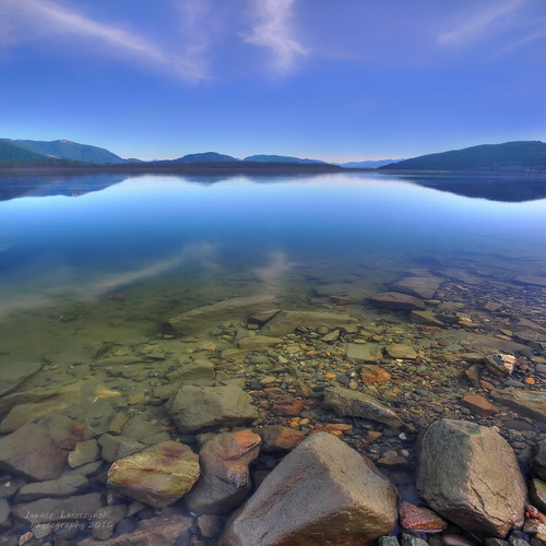
river geotagged rocks filter polarizer fraserriver hdr abbotsford fills walkingonwater mountaind janusz leszczynski sky” “big infinestyle artofimages bestcapturesaoi 003452 geo:lon=12208674 geo:lat=49143959
Walking on water
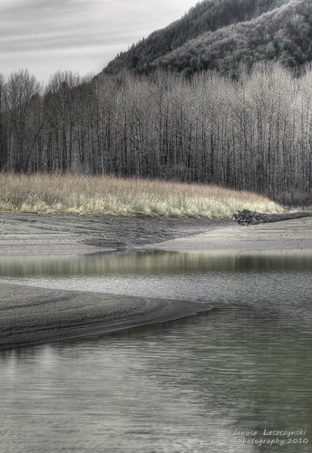
bw mountain geotagged photographic hills fraserriver hdr abbotsford chilliwack sophistication janusz leszczynski veddercanal geo:lat=4914365 geo:lon=122091236 000246
Futile attempt at photographic sophistication
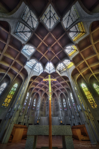
church abbey westminsterabbey geotagged catholic bc cross monastery mission benedictine hdr reachingout janusz leszczynski 012342 geo:lat=49153443 geo:lon=122270617
Reaching out
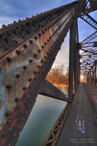
bridge train geotagged canal tracks railway fraserriver hdr abbotsford chilliwack vedder fraservalley goingnuts janusz leszczynski geo:lat=49138253 geo:lon=122096807 003137
Going Nuts
greatphotographers
View from my lunchspot today...
greatphotographers
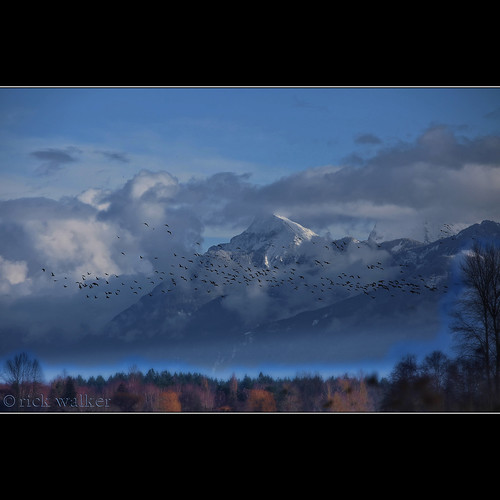
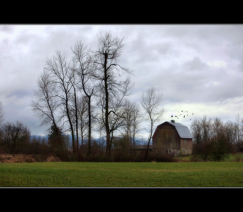
...sure, but do the Geese actually fly South for the Winter ???
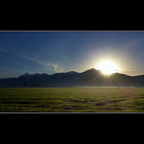
Sunrise over Elk this morning...
greatphotographers
[ old orchard road barn ]
trees nature beautiful barn canon wonderful fantastic glow hiking gorgeous awesome smooth 5d backlit mothernature chilliwack countrylife fraservalley rurallife snowless greatphotographers nearme 7020028is x2extender cjack clubtread topazed chilliwackjack iadjustedit
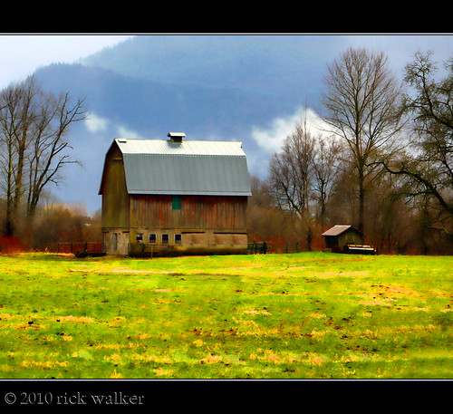
Old Orchard Barn...
arunnikond90nikond90cheampeakmountcheammountcheamcheampeaktheethuhlkayskagitrangeofthecanadiancascadesmountainsfraservalley risingabovebridalfallsandagassizjusteastofchilliwack andwestofhopebritishcolumbia
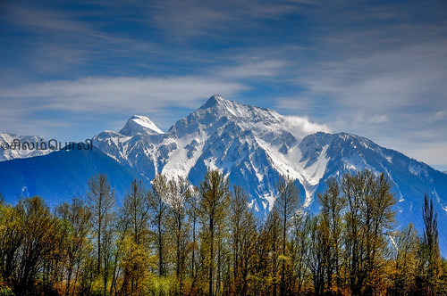
Mount Cheam
canada canon britishcolumbia fav10 canonefs1855mmf3556is fraservalleyc
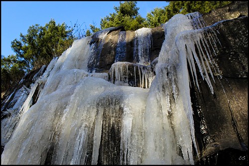
Rock and ice (and trees)
greatphotographers
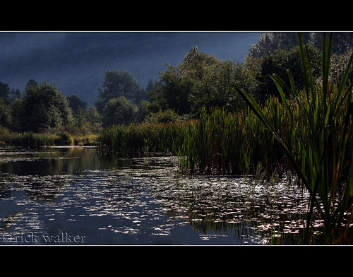
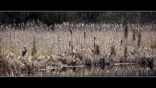
The West Lagoon at GBHNR...
greatphotographers
[ the sentinel ]
2014-01-05 14.16.17 HDR
Minter Gardens
2014-01-05 14.16.11
uploaded:by=flickrmobile flickriosapp:filter=nofilter
Harrison River, British Columbia
canada river bc harrison columbia british uploaded:by=flickrmobile flickriosapp:filter=nofilter
Harrison River HDR
square squareformat clarendon iphoneography instagramapp uploaded:by=instagram
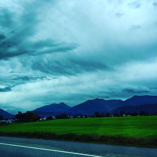
Passing through....
trees light panorama green nature beautiful wonderful river easter fantastic warm gorgeous awesome like glorious stunning colourful dike mothernature chilliwack countrylife fraservalley iloveit sweeeeeeeeet verygreen nearme cjack clubtread vedderriver thankyoujesus fromthedike chilliwackjack vedderdike inchilliwack canon5d7020028isx2extender
From the Dyke...