Elevation of Frankfort Rd, Russellville, AL, USA
Location: United States > Alabama > Franklin County > Russellville >
Longitude: -87.826612
Latitude: 34.575222
Elevation: 288m / 945feet
Barometric Pressure: 98KPa
Elevation Map:
Satellite Map:
Related Photos:
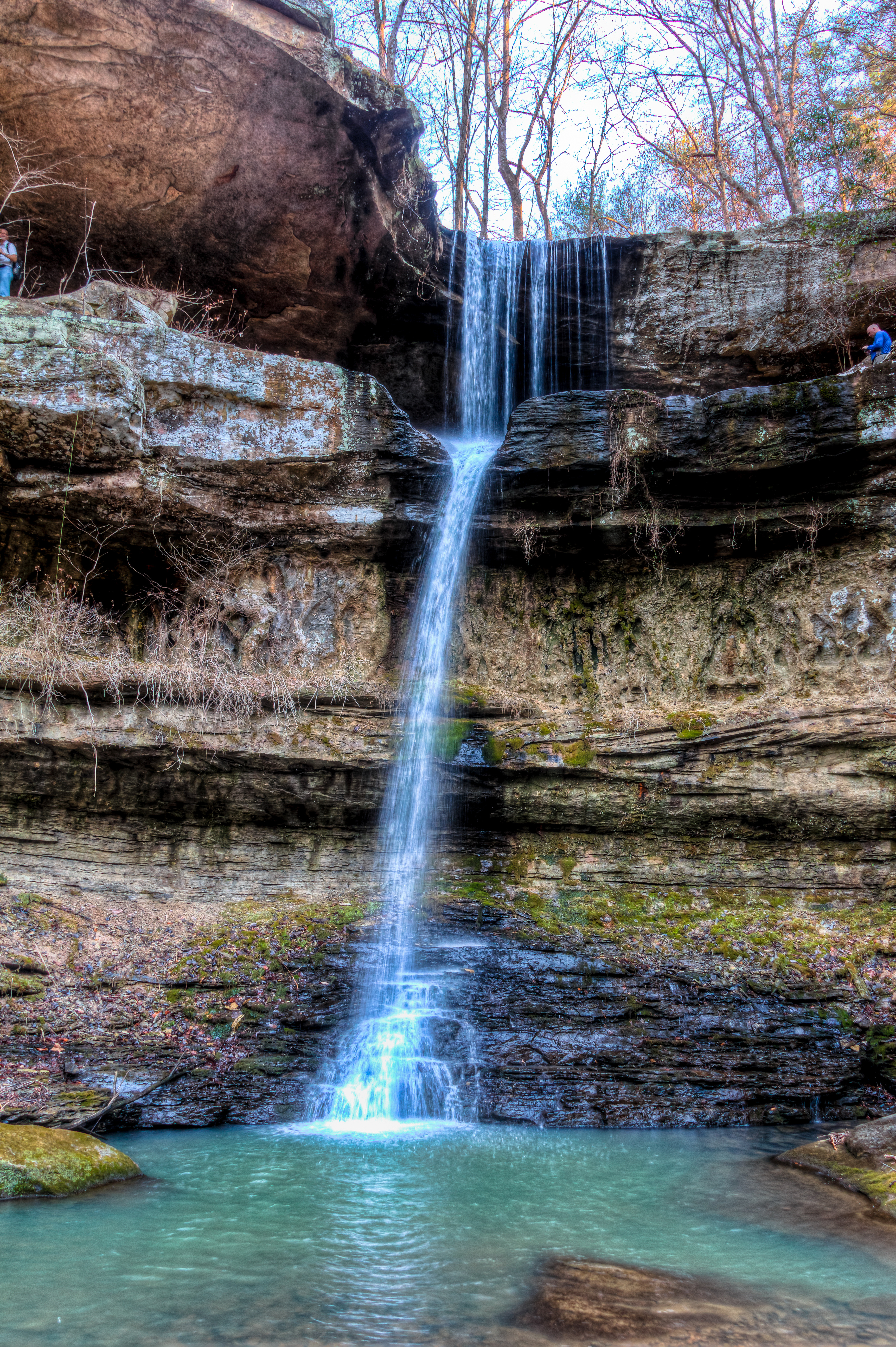
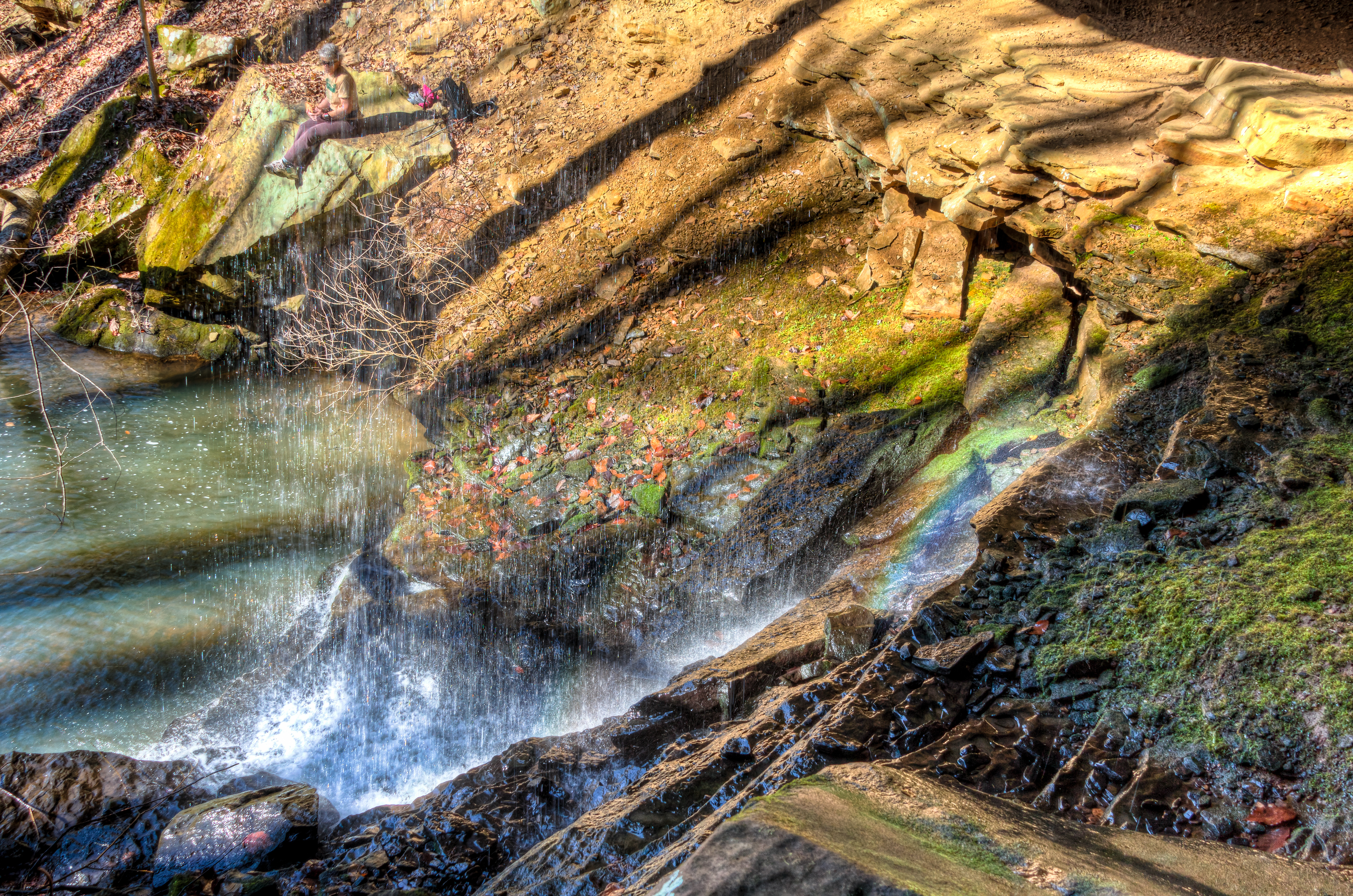
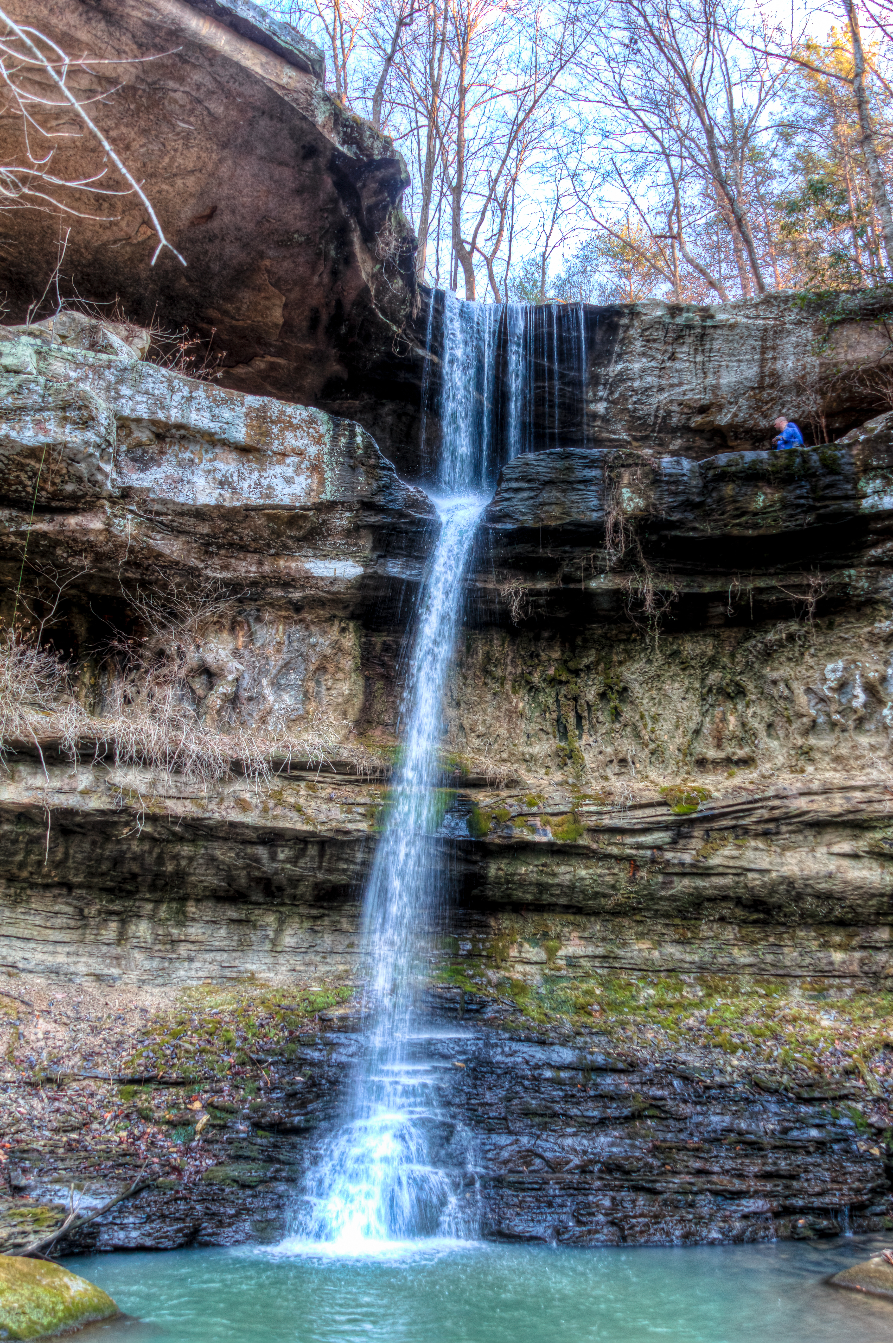
View from below
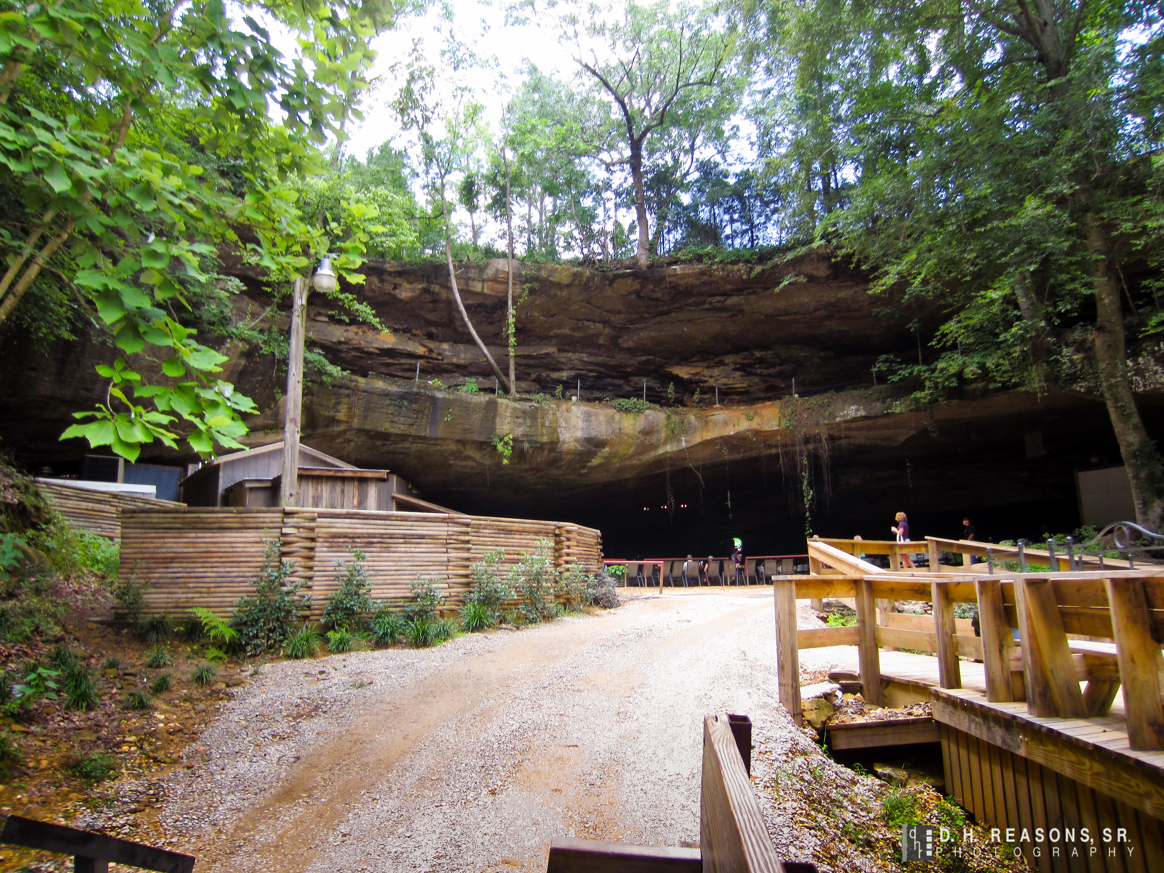
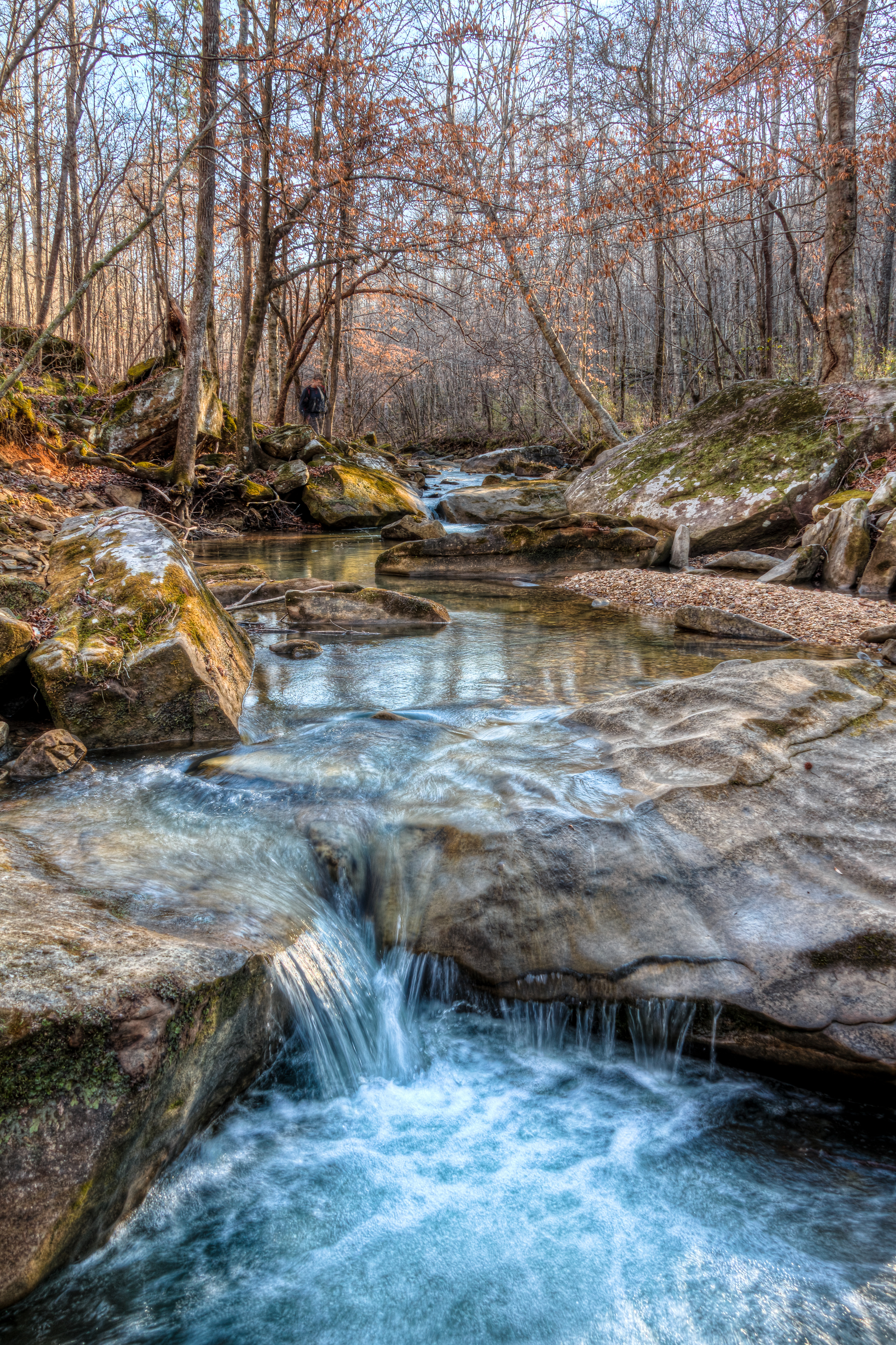
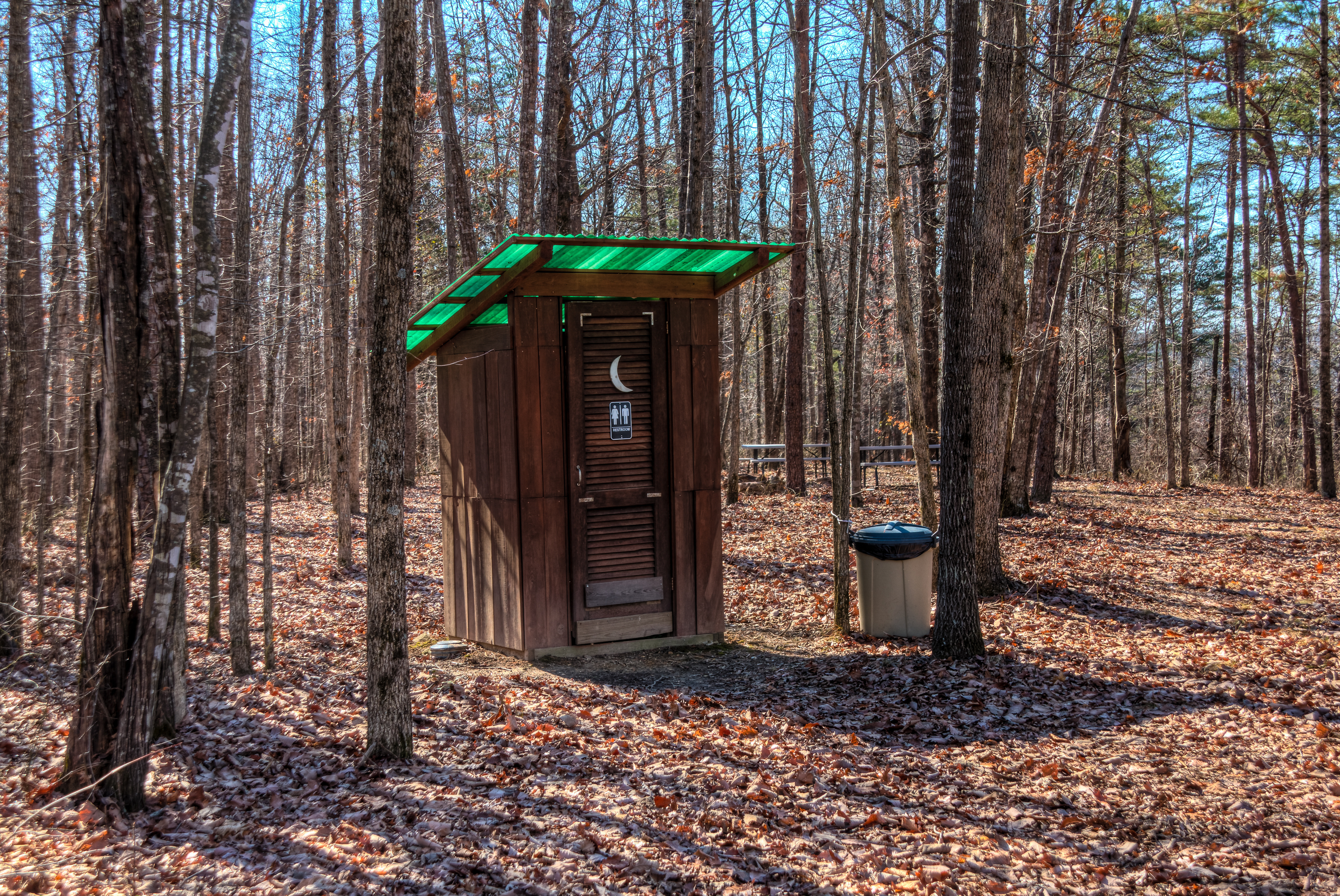
Cane Creek Nature Preserve
Cane Creek Nature Preserve
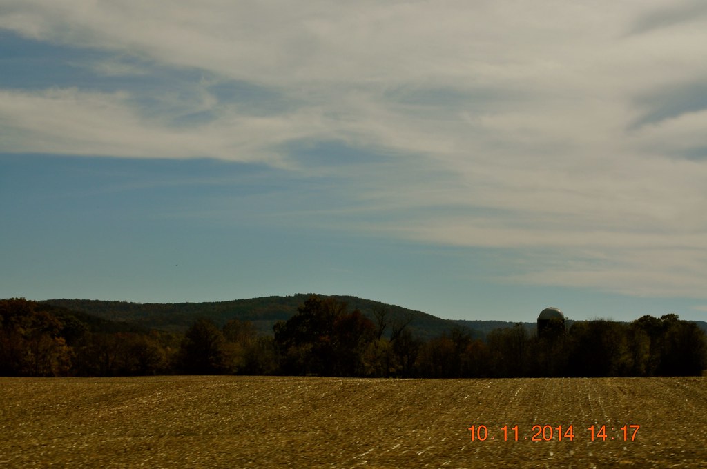
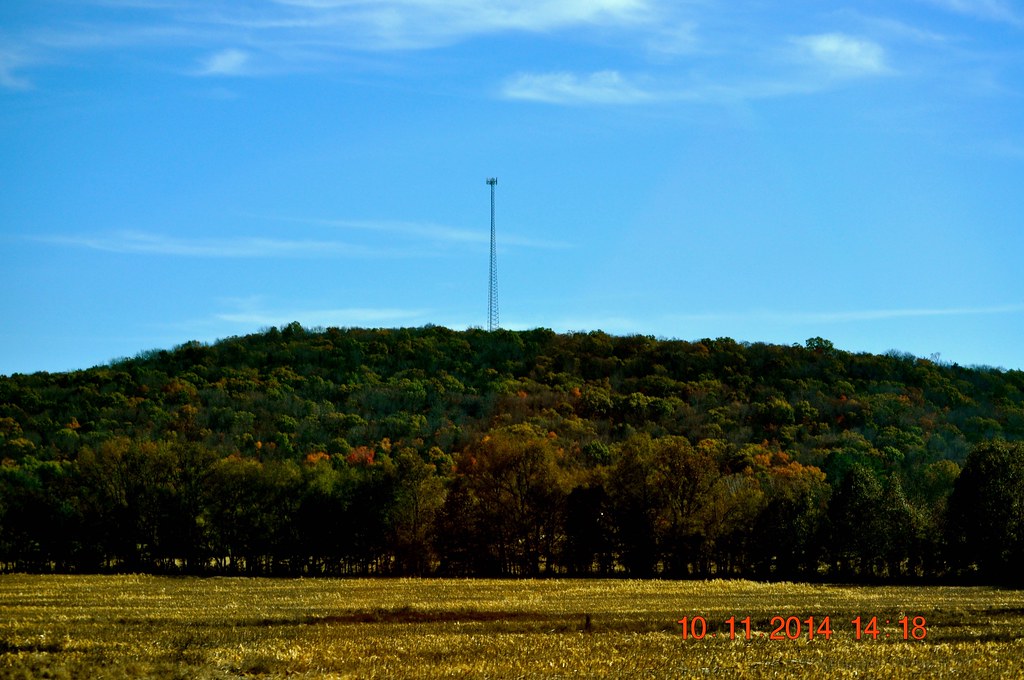
2014 November 10 Traveling Hwy 24 East toward Moulton Al
Cane Creek Nature Preserve
2014 November 10 Traveling Hwy 24 East toward Moulton Al
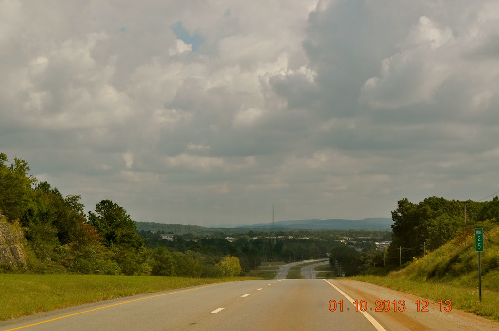
Hwy 24 East heading toward Russellville
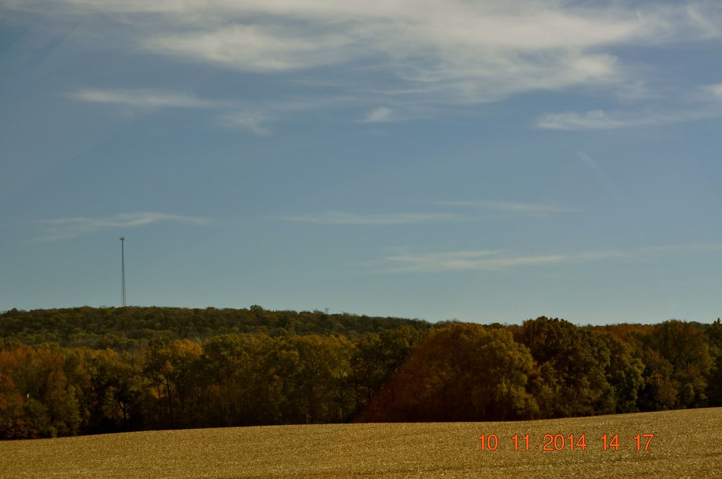
2014 November 10 Traveling Hwy 24 East toward Moulton Al
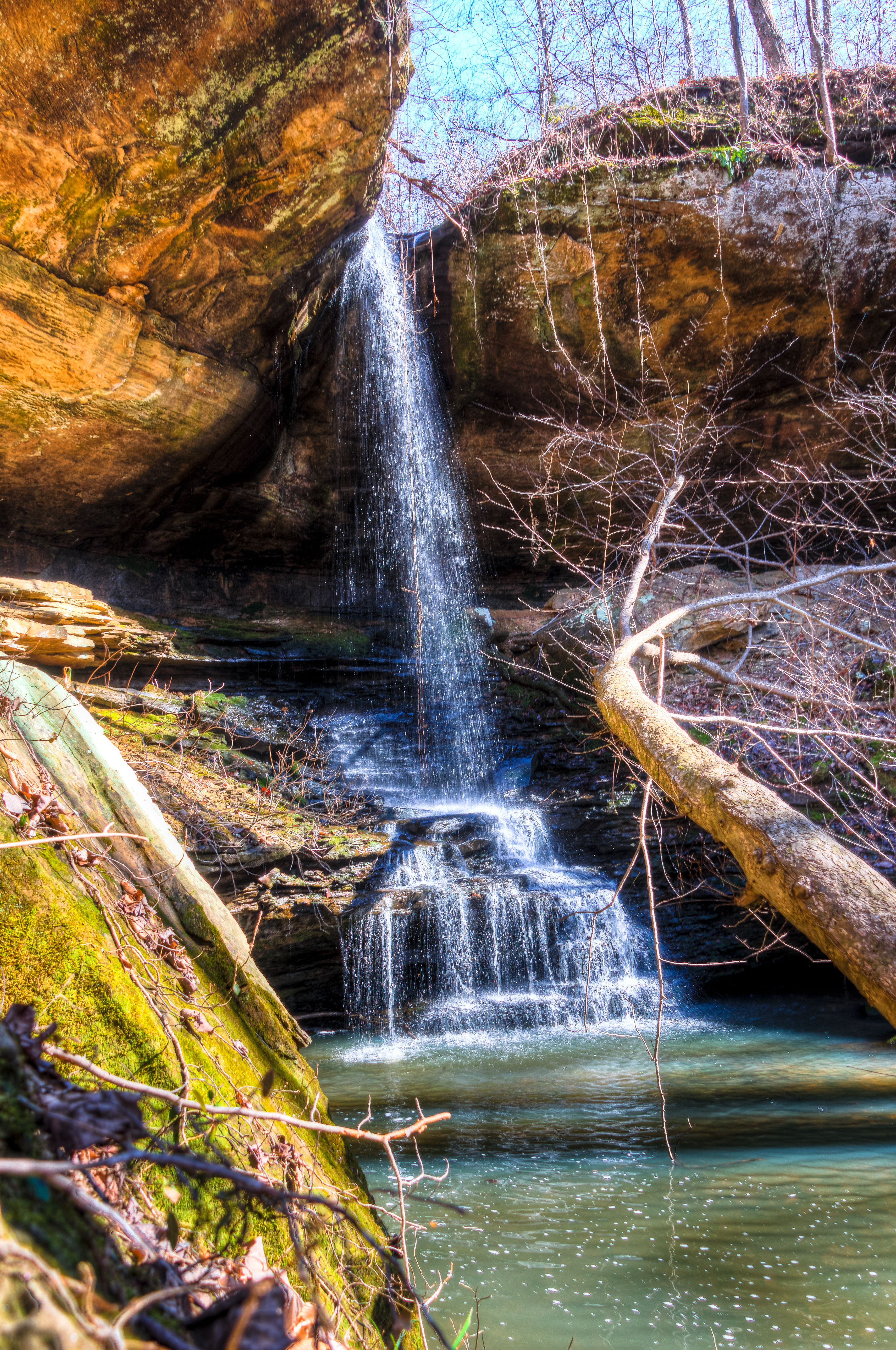
Cane Creek Nature Preserve
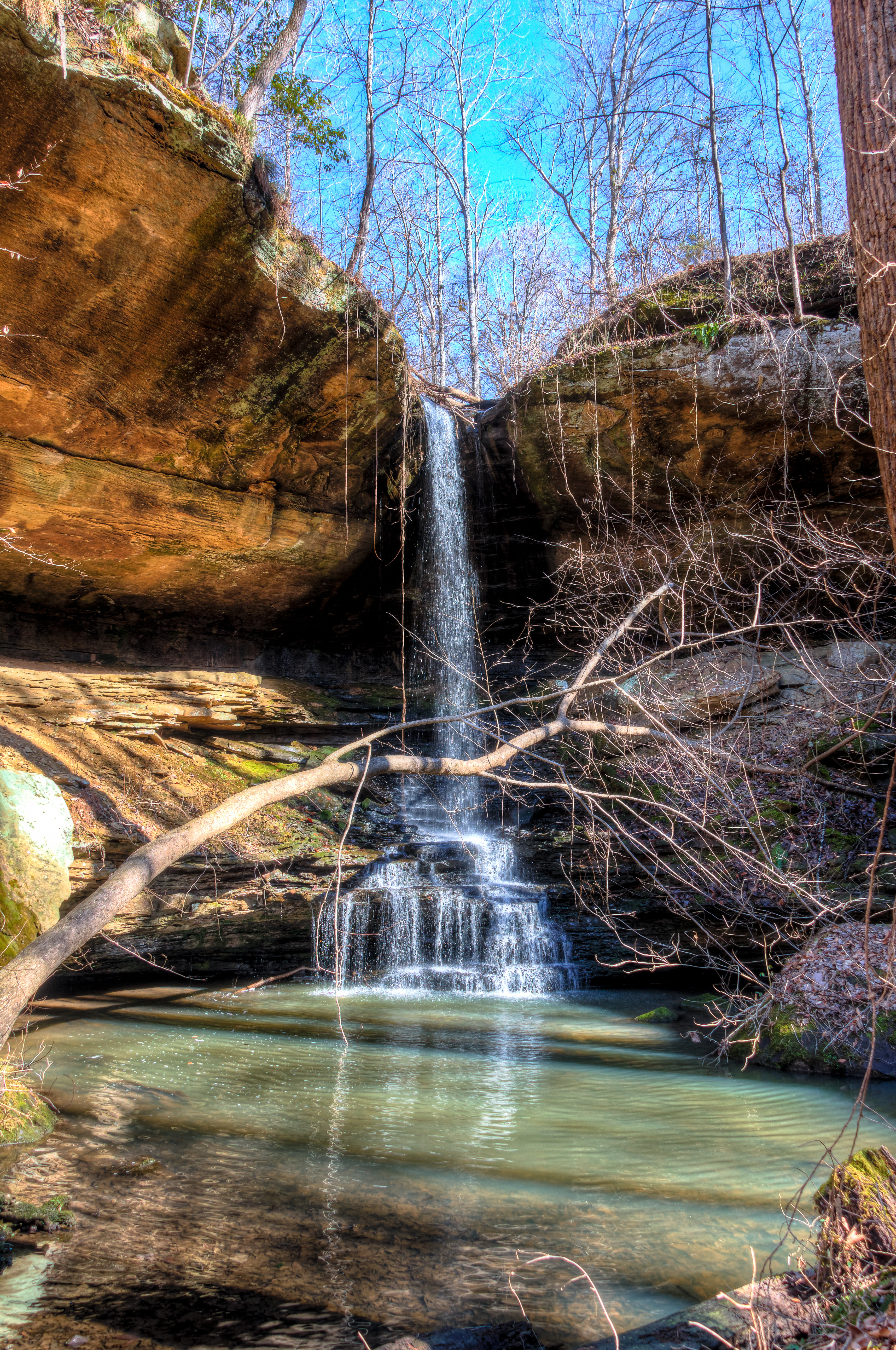
Cane Creek Nature Preserve
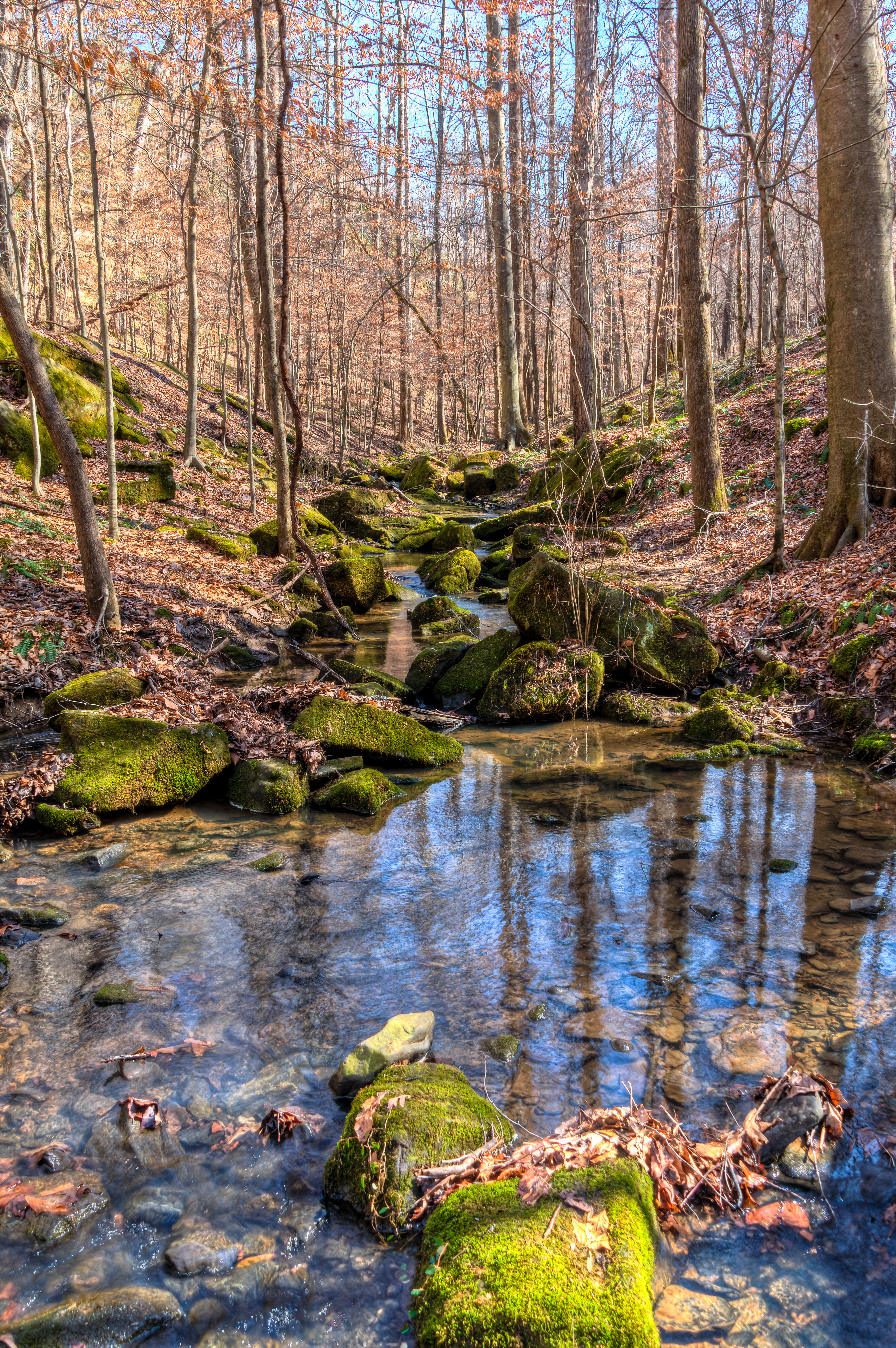
Cane Creek Nature Preserve
Cane Creek Nature Preserve
Cane Creek Nature Preserve
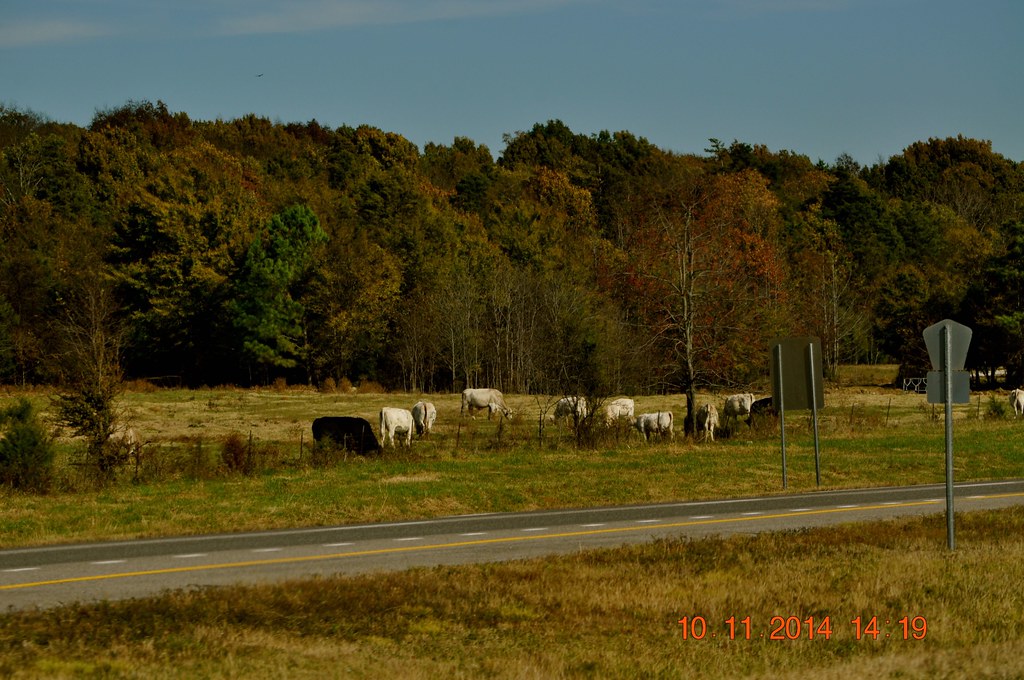
2014 November 10 Traveling Hwy 24 East toward Moulton Al
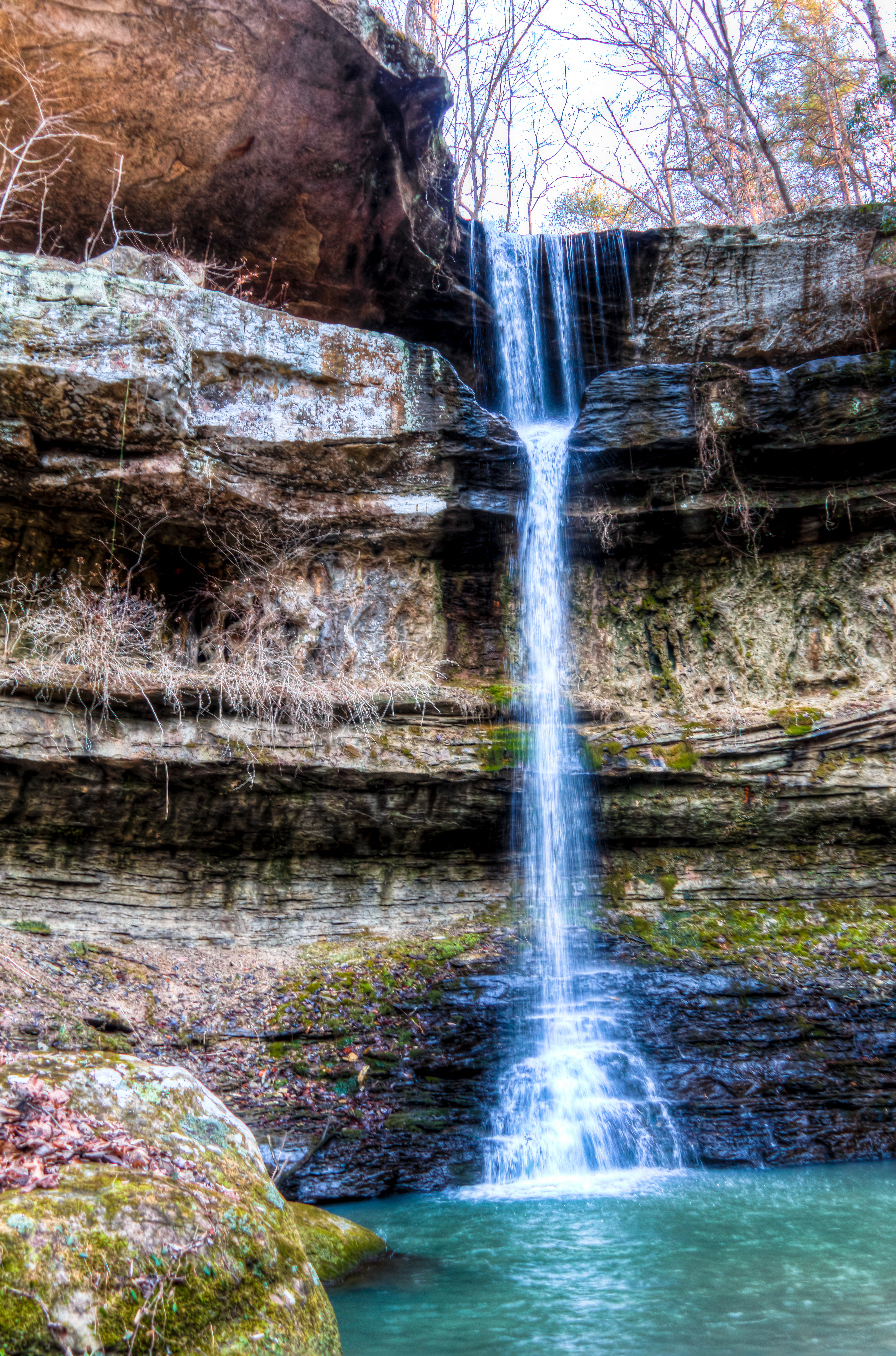
Cane Creek Canyon Nature Preserve
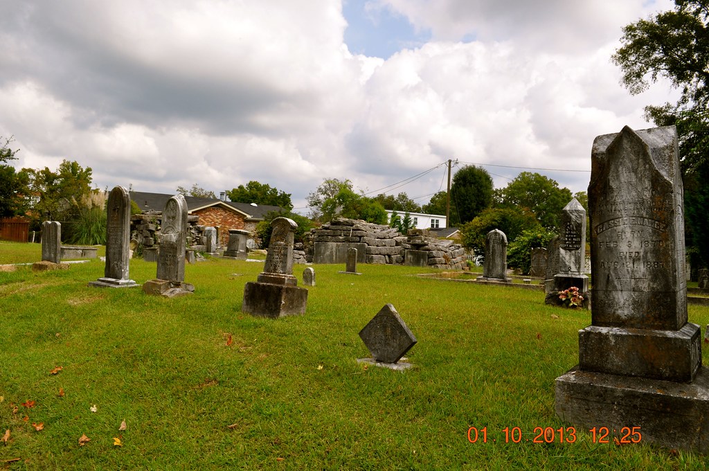
Sadler Cemetery 1832
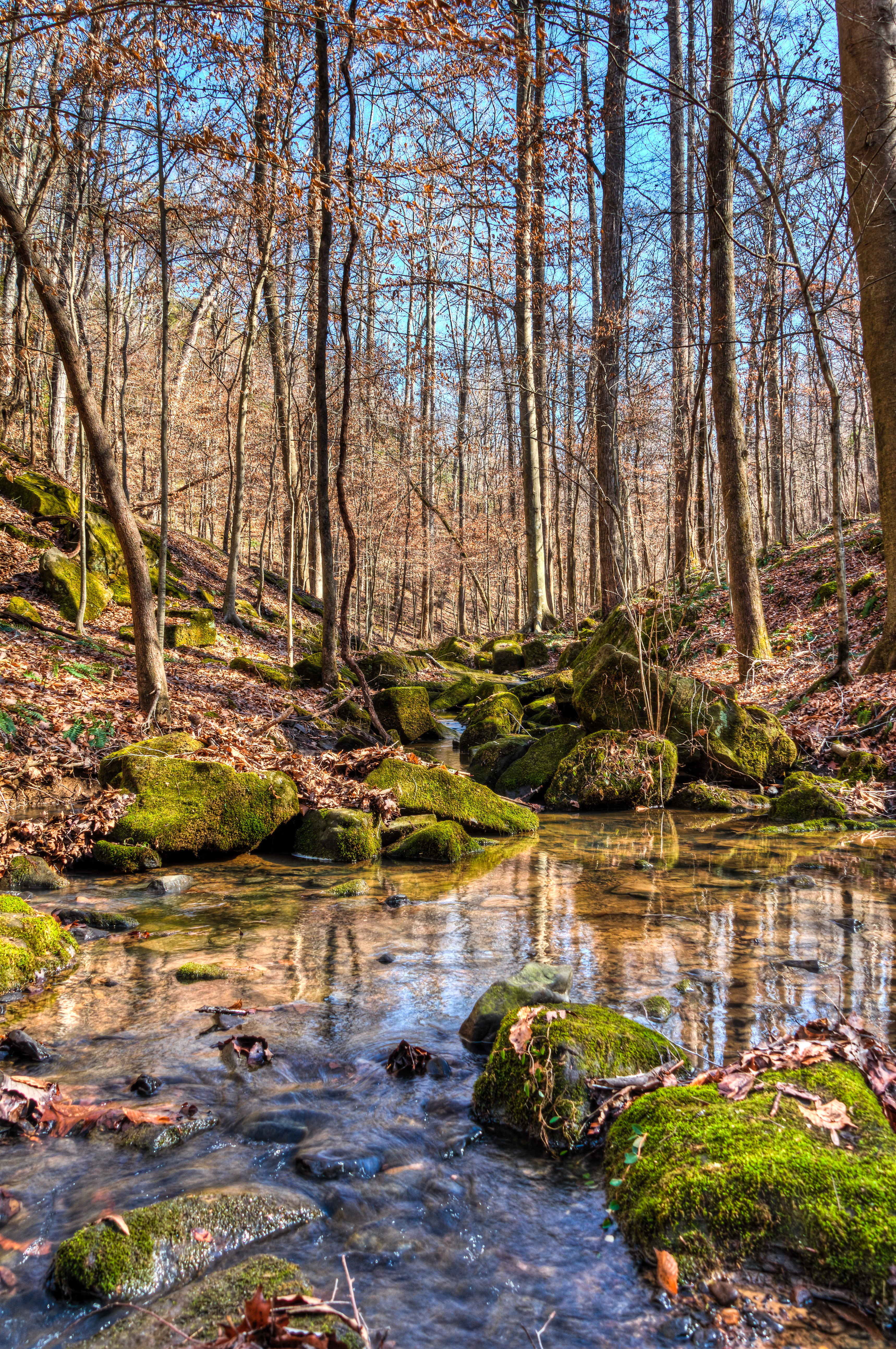
Cane Creek Nature Preserve
Cane Creek Canyon Nature Preserve
Cane Creek Nature Preserve
Cane Creek Nature Preserve
Cane Creek Nature Preserve

Sadler Cemetery 1832
Topographic Map of Frankfort Rd, Russellville, AL, USA
Find elevation by address:

Places near Frankfort Rd, Russellville, AL, USA:
New Bethel Rd, Tuscumbia, AL, USA
Little Egypt Rd, Tuscumbia, AL, USA
790 County Rd 33
Rock Creek Church Of Christ
1350 Lime Rock Rd
810 Little Egypt Rd
Little Egypt Road
Mt Mills Rd, Tuscumbia, AL, USA
AL-, Russellville, AL, USA
Smallwood Mountain Rd, Tuscumbia, AL, USA
407 Tim St
407 Tim St
512 W Madison St
Polk St, Russellville, AL, USA
Russellville
Red Rock Rd, Tuscumbia, AL, USA
US-43, Russellville, AL, USA
Littleville
Co Rd 55, Tuscumbia, AL, USA
Milk Springs Rd, Tuscumbia, AL, USA
Recent Searches:
- Elevation of Corso Fratelli Cairoli, 35, Macerata MC, Italy
- Elevation of Tallevast Rd, Sarasota, FL, USA
- Elevation of 4th St E, Sonoma, CA, USA
- Elevation of Black Hollow Rd, Pennsdale, PA, USA
- Elevation of Oakland Ave, Williamsport, PA, USA
- Elevation of Pedrógão Grande, Portugal
- Elevation of Klee Dr, Martinsburg, WV, USA
- Elevation of Via Roma, Pieranica CR, Italy
- Elevation of Tavkvetili Mountain, Georgia
- Elevation of Hartfords Bluff Cir, Mt Pleasant, SC, USA