Elevation of Fr F, Crown King, AZ, USA
Location: United States > Arizona > Yavapai County > Crown King >
Longitude: -112.34550
Latitude: 34.2143474
Elevation: 1853m / 6079feet
Barometric Pressure: 81KPa
Elevation Map:
Satellite Map:
Related Photos:
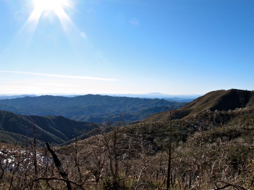
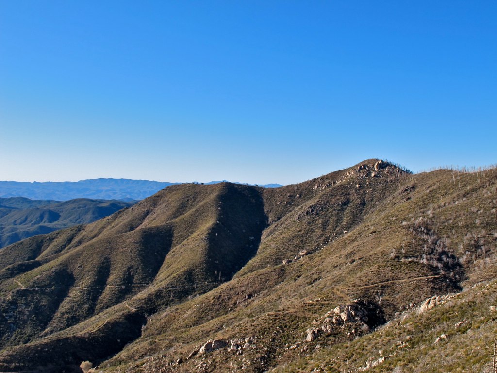
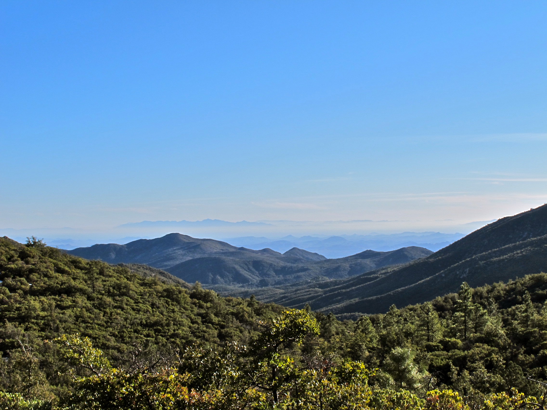
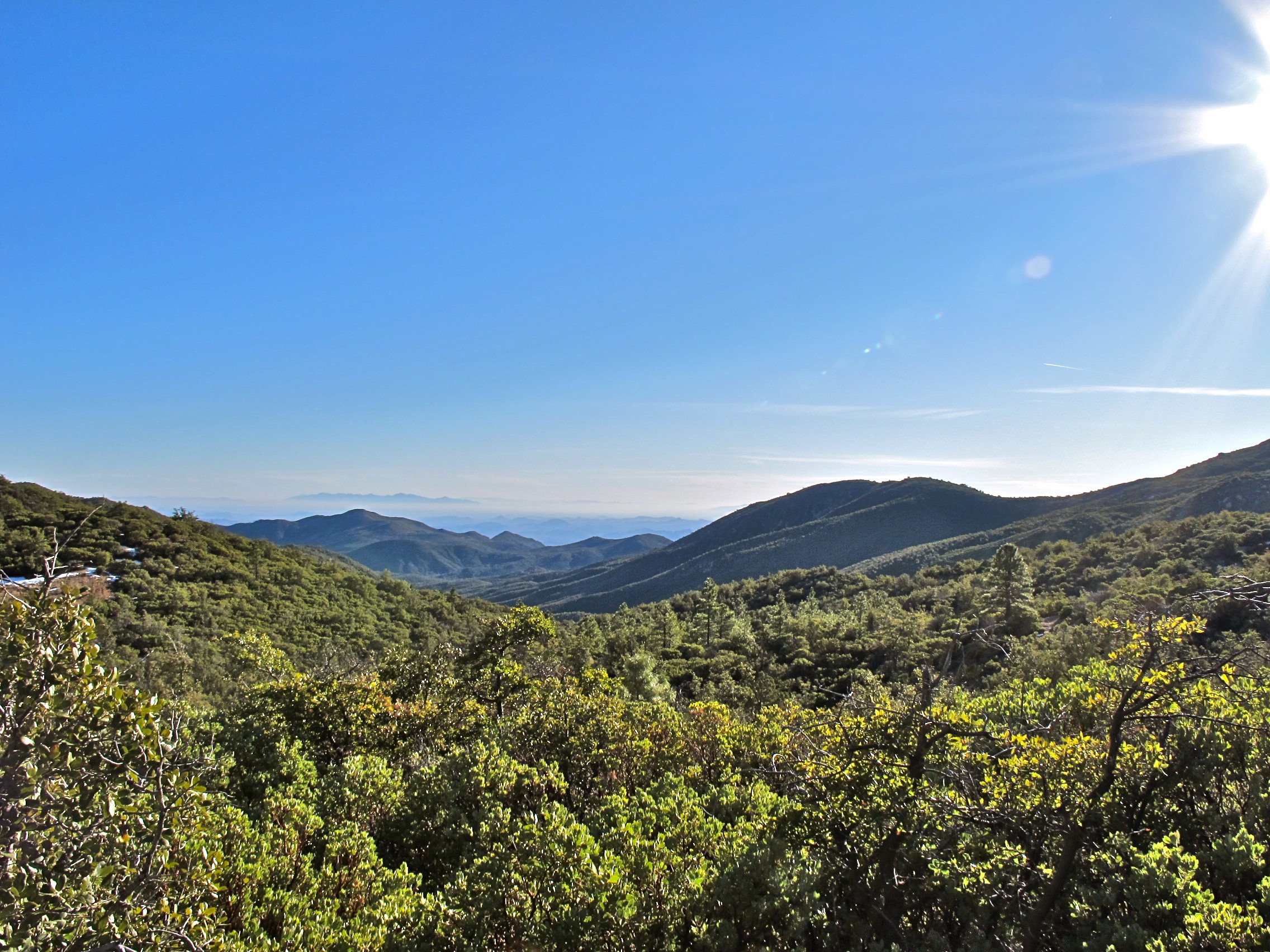
37. View from Senator Hwy. just south of Crown King
38. View from Senator Hwy. just south of Crown King

37. View from Senator Hwy. just south of Crown King
37. View from Senator Hwy. just south of Crown King

37. View from Senator Hwy. just south of Crown King
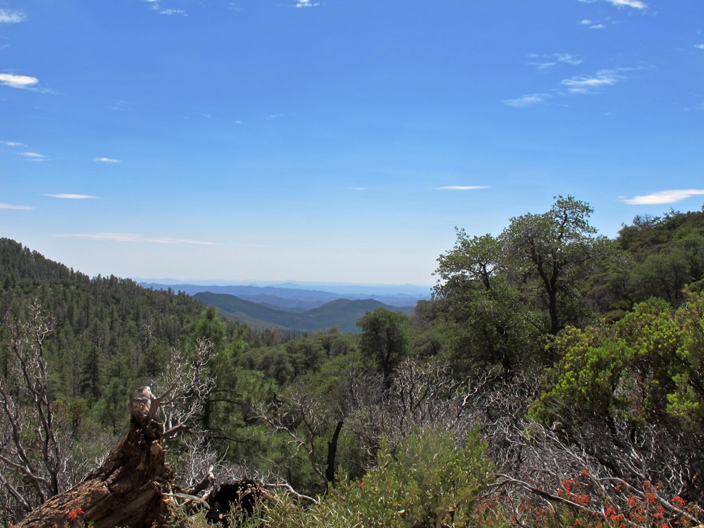
41. View from Senator Hwy. just south of Crown King

41. View from Senator Hwy. just south of Crown King
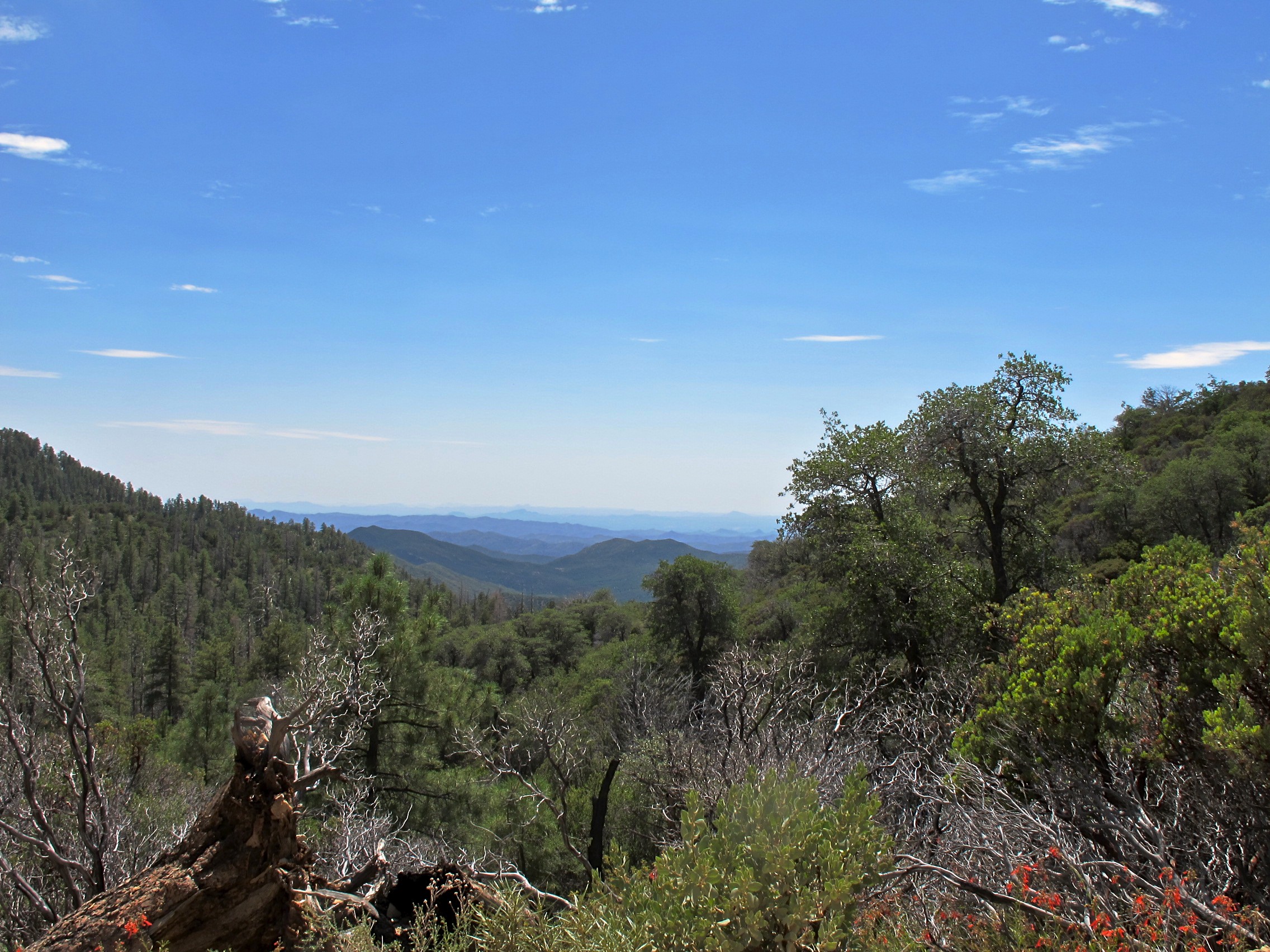
39. View from Senator Hwy. just south of Crown King

39. View from Senator Hwy. just south of Crown King
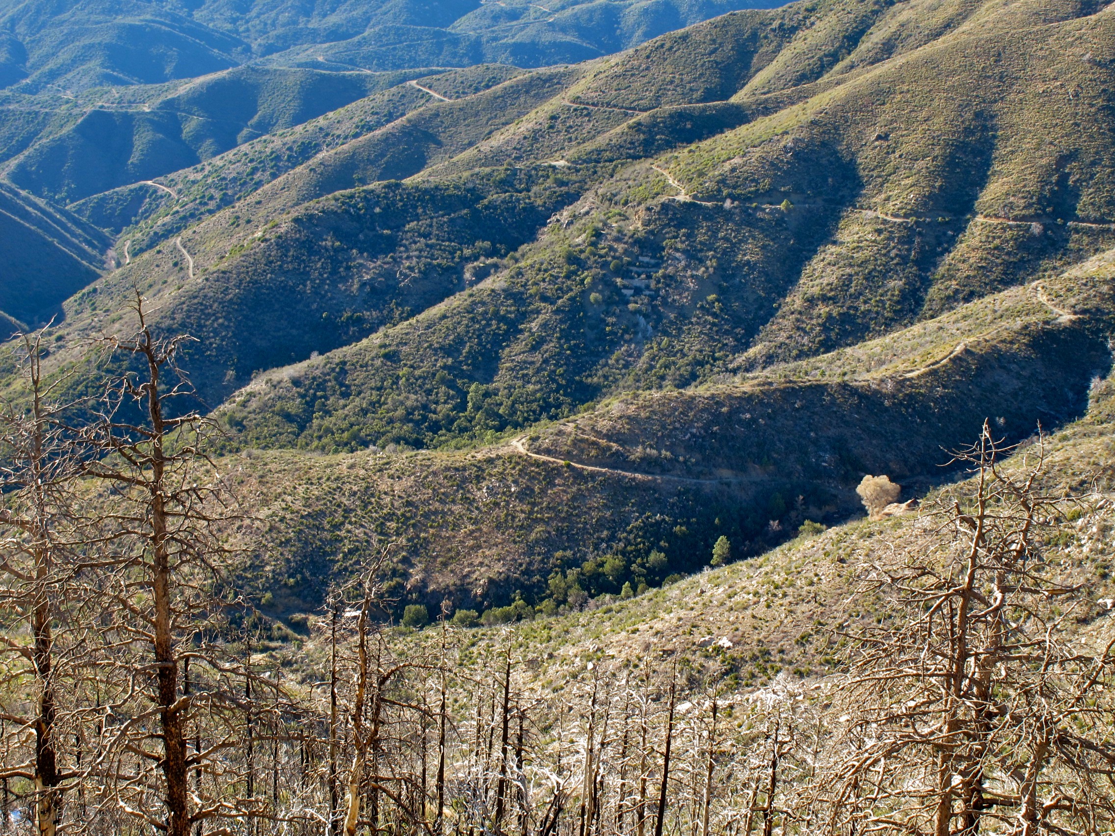
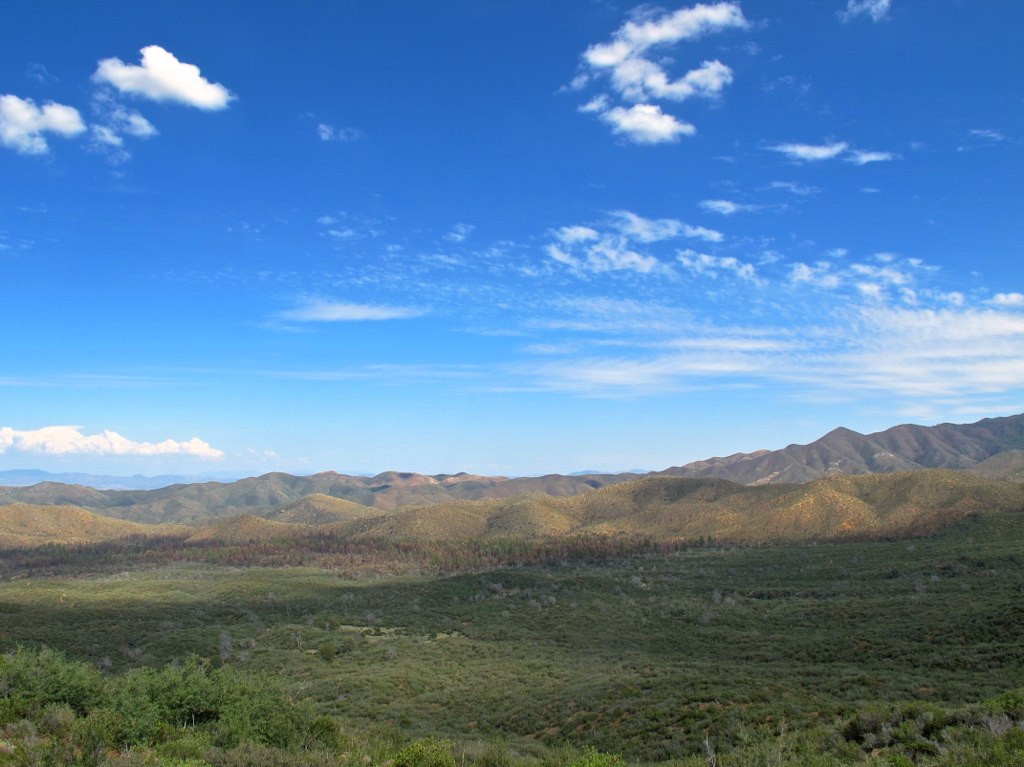
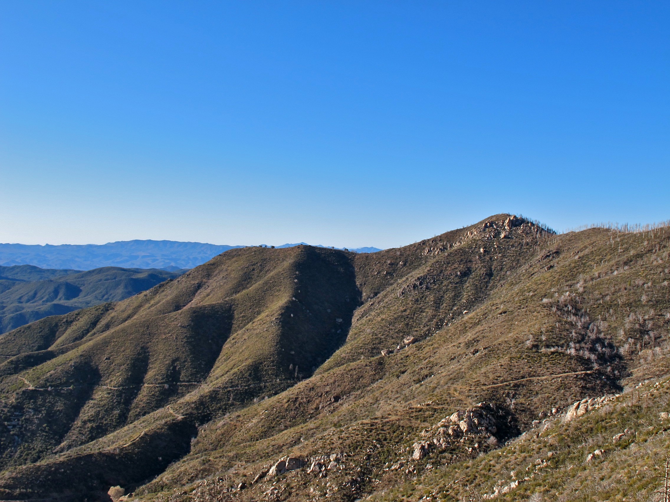
62. View looking west off Senator Hwy. just south of 90 and 9 Rd.
67. View of Battle Flat east of Senator Hwy.
62. View looking west off Senator Hwy. just south of 90 and 9 Rd.

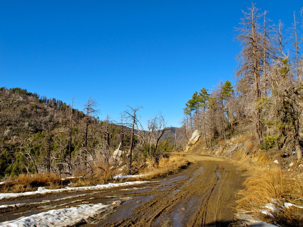
33. View from FR 259 heading up to Crown King
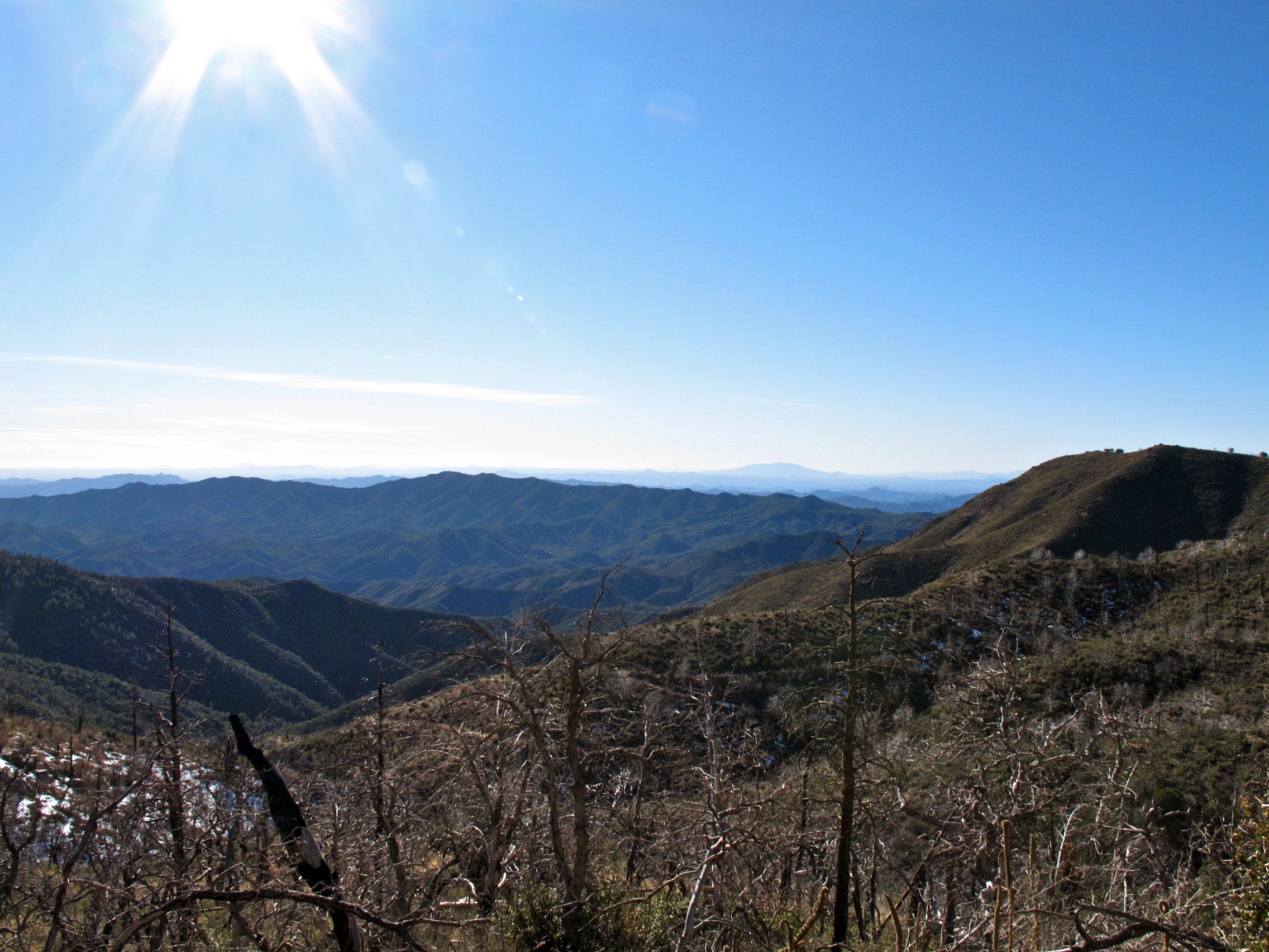
45. View from the vista near the Heliport just south of Horsethief Lake
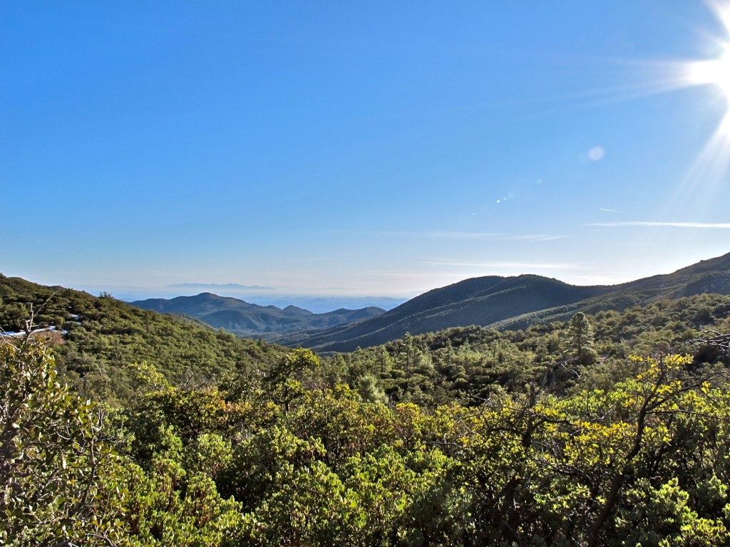
44. View from the vista near the Heliport just south of Horsethief Lake

41. View from Senator Hwy. just south of Crown King

45. View from the vista near the Heliport just south of Horsethief Lake
39. View from Senator Hwy. just south of Crown King
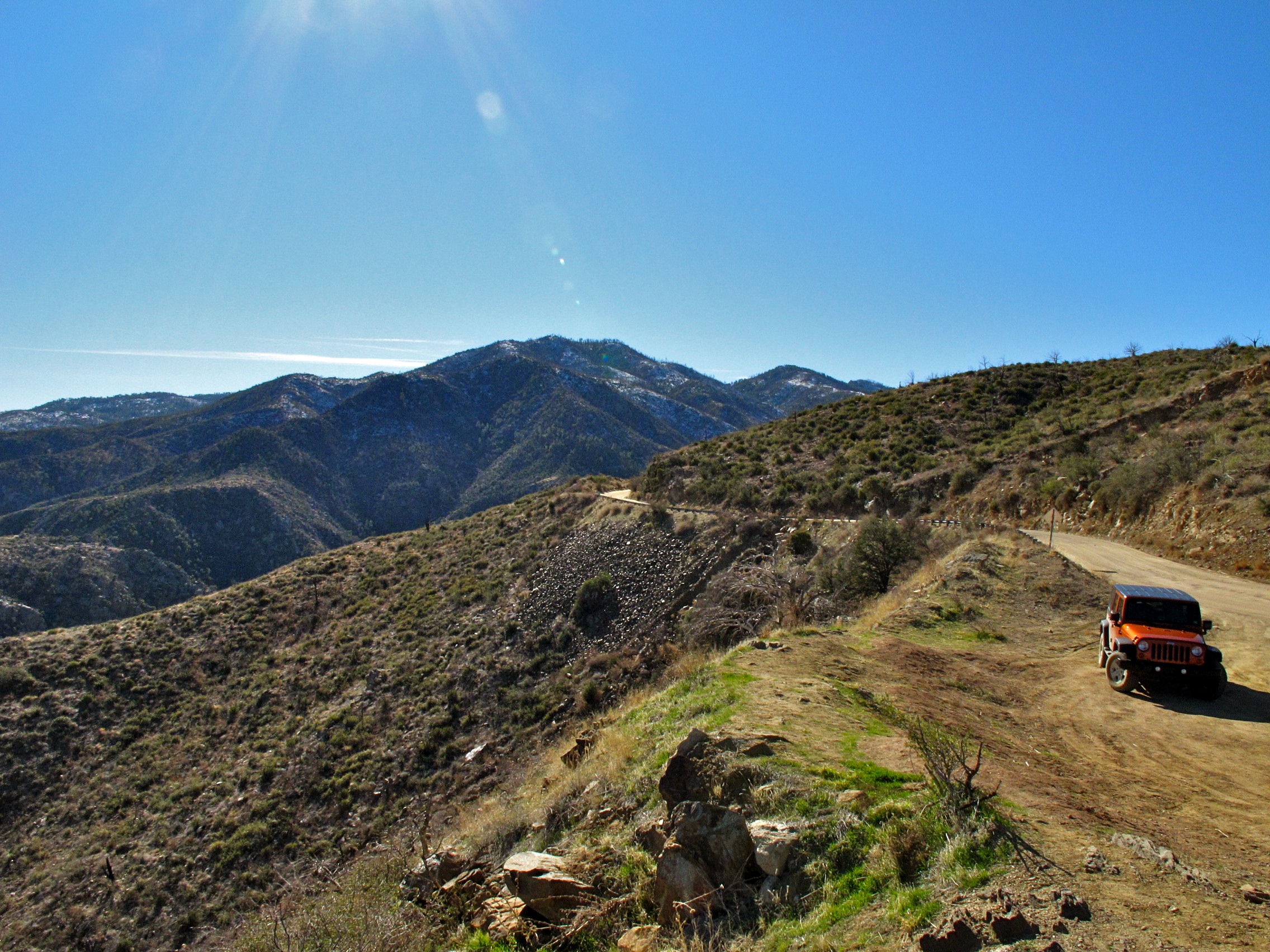
33. View from FR 259 heading up to Crown King

62. View looking west off Senator Hwy. just south of 90 and 9 Rd.
44. View from the vista near the Heliport just south of Horsethief Lake

9th Green at Boulders Resort
Topographic Map of Fr F, Crown King, AZ, USA
Find elevation by address:

Places near Fr F, Crown King, AZ, USA:
6738 Ash Dr
Main St, Crown King, AZ, USA
Crown King
24930 S Horsethief Basin Rd
25100 S Horsethief Basin Rd
34908 Cow Creek Rd
Bradshaw Mountains
Bumble Bee
S Old Black Canyon Hwy, Mayer, AZ, USA
Mount Union
State Route 261 Trail
Mayer Community Church
Sunset Point
Mayer
E Main St, Humboldt, AZ, USA
11205 Az-69
8844 Hassayampa Cir
8670 S Hoot Owl Ridge Dr
15825 E Broken Bit Rd
2575 E Saguaro Dr
Recent Searches:
- Elevation of Corso Fratelli Cairoli, 35, Macerata MC, Italy
- Elevation of Tallevast Rd, Sarasota, FL, USA
- Elevation of 4th St E, Sonoma, CA, USA
- Elevation of Black Hollow Rd, Pennsdale, PA, USA
- Elevation of Oakland Ave, Williamsport, PA, USA
- Elevation of Pedrógão Grande, Portugal
- Elevation of Klee Dr, Martinsburg, WV, USA
- Elevation of Via Roma, Pieranica CR, Italy
- Elevation of Tavkvetili Mountain, Georgia
- Elevation of Hartfords Bluff Cir, Mt Pleasant, SC, USA