Elevation of Mount Union, Mt Union, Arizona, USA
Location: United States > Arizona > Yavapai County > Kirkland >
Longitude: -112.40433
Latitude: 34.4150262
Elevation: 2427m / 7963feet
Barometric Pressure: 75KPa
Elevation Map:
Satellite Map:
Related Photos:

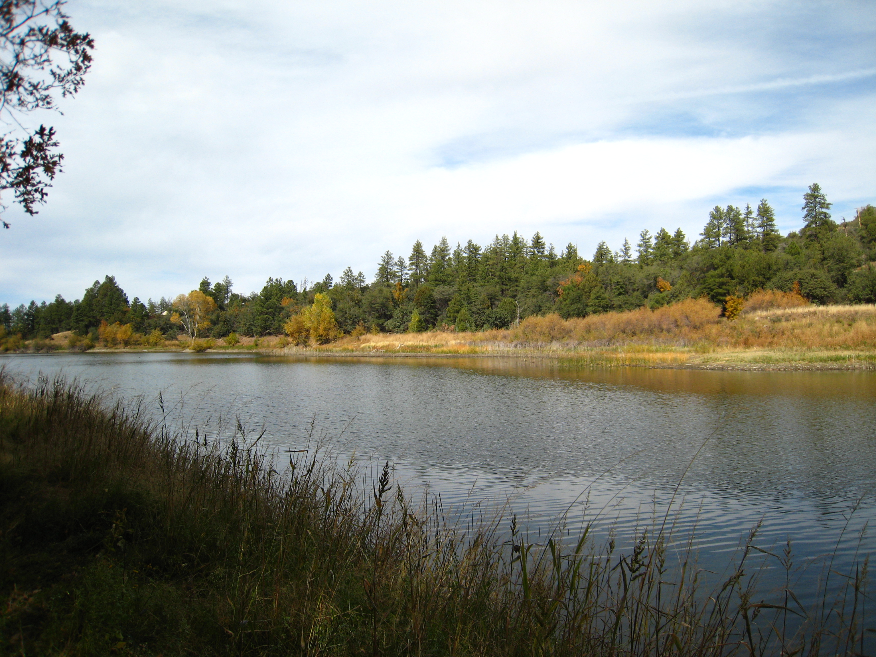
Golden Reflections
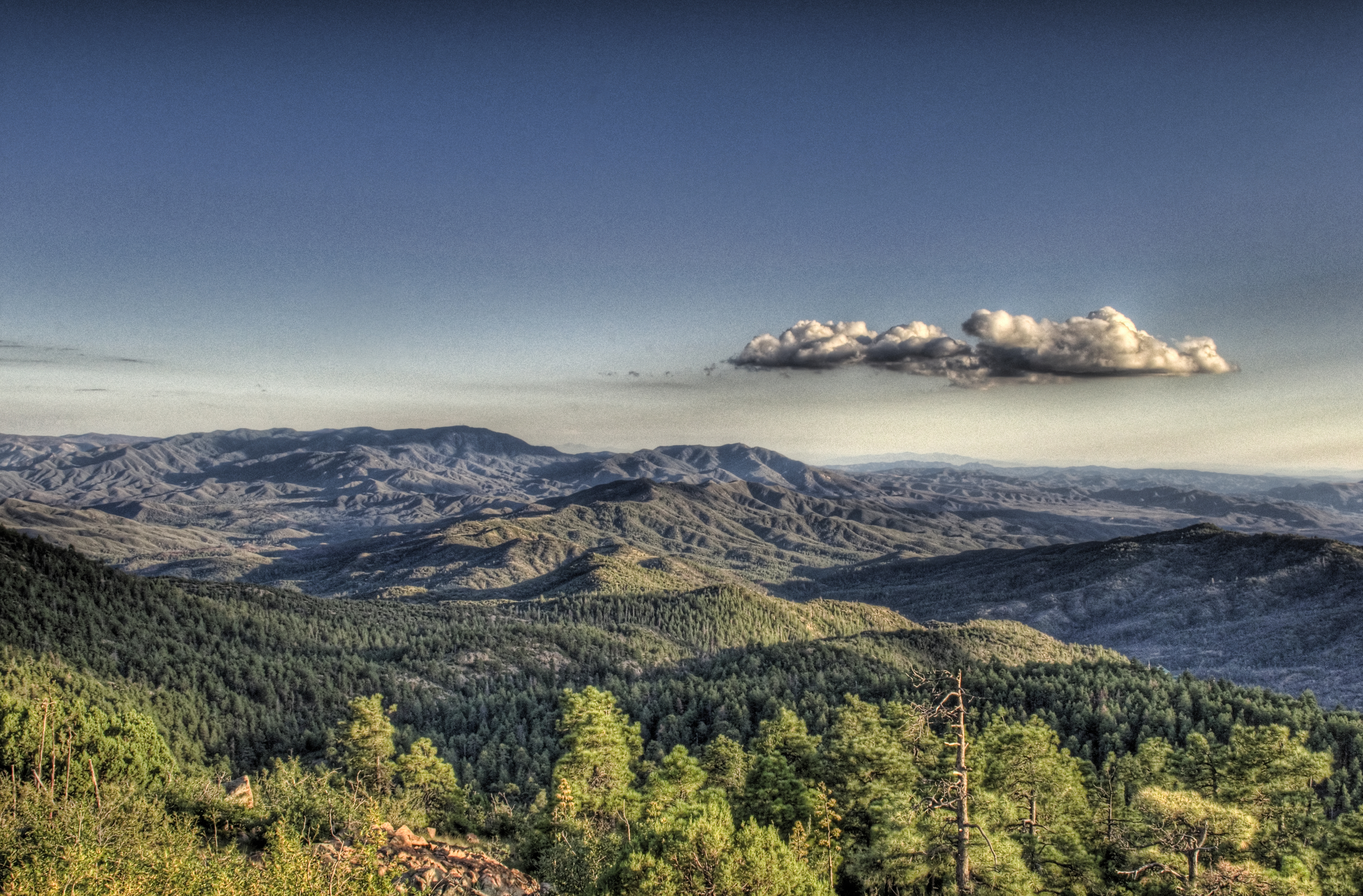
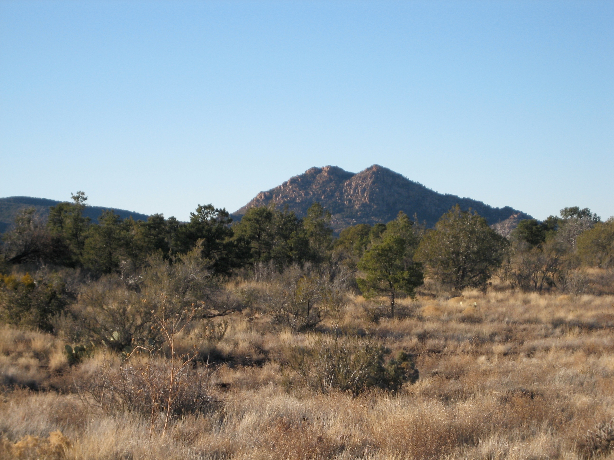
A nice view
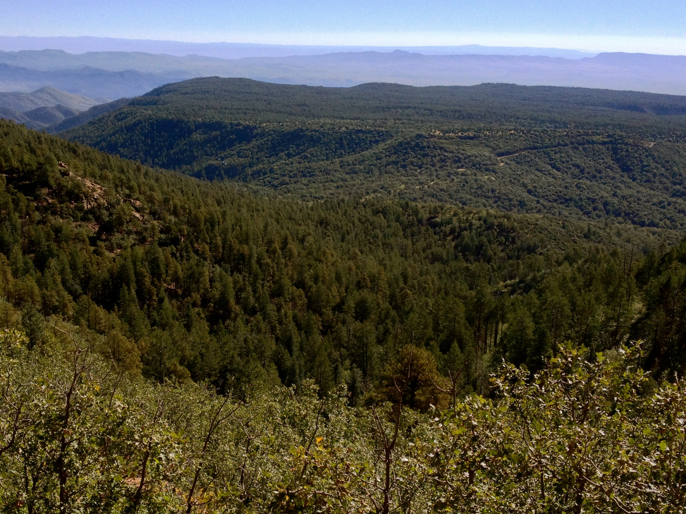
Prescott National Forest

4714 Budsage Court, Prescott, AZ for sale. Million dollar view of Prescott Valley and Mingus mountain range.
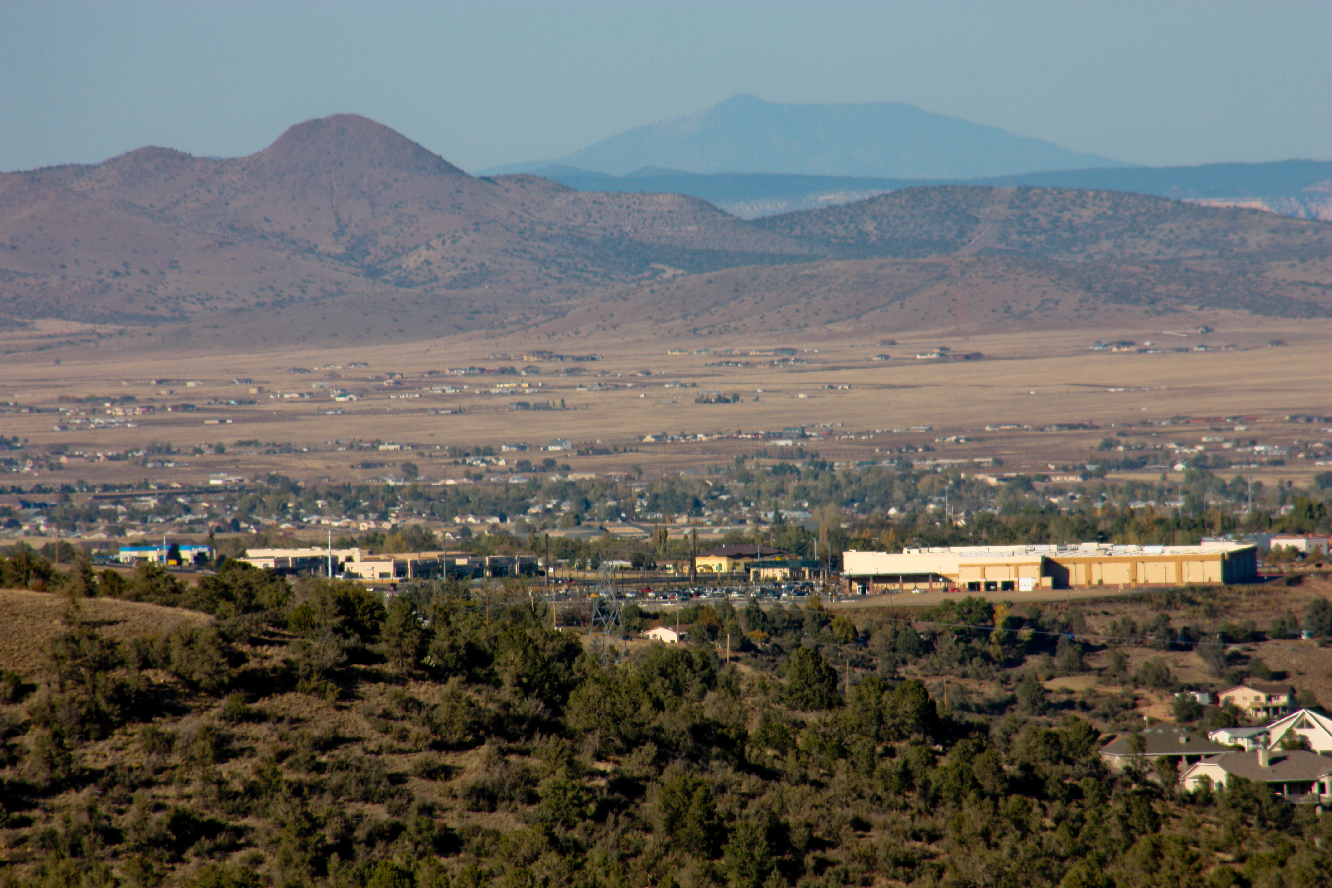
2402-1 View Toward Prescott Valley

departing Flagstaff

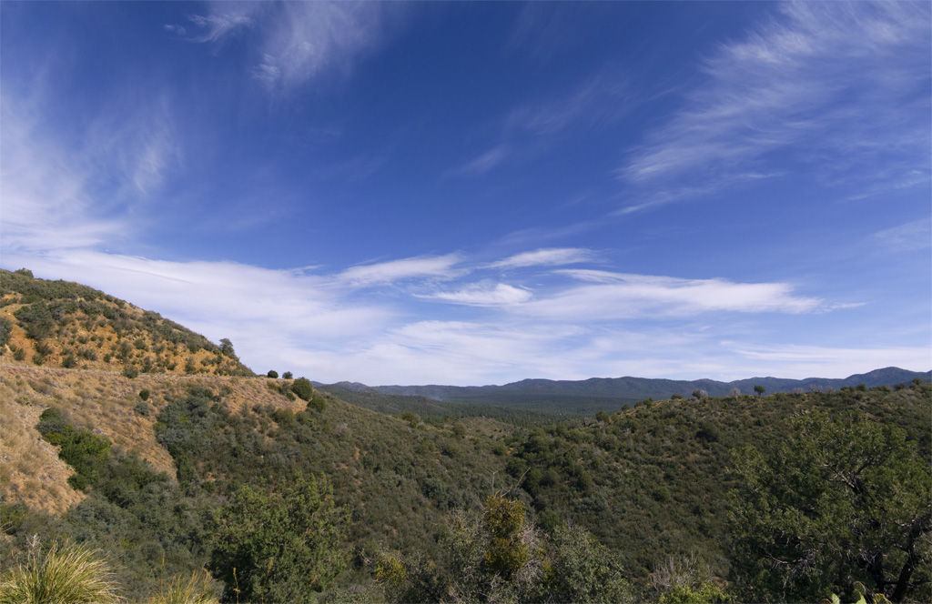
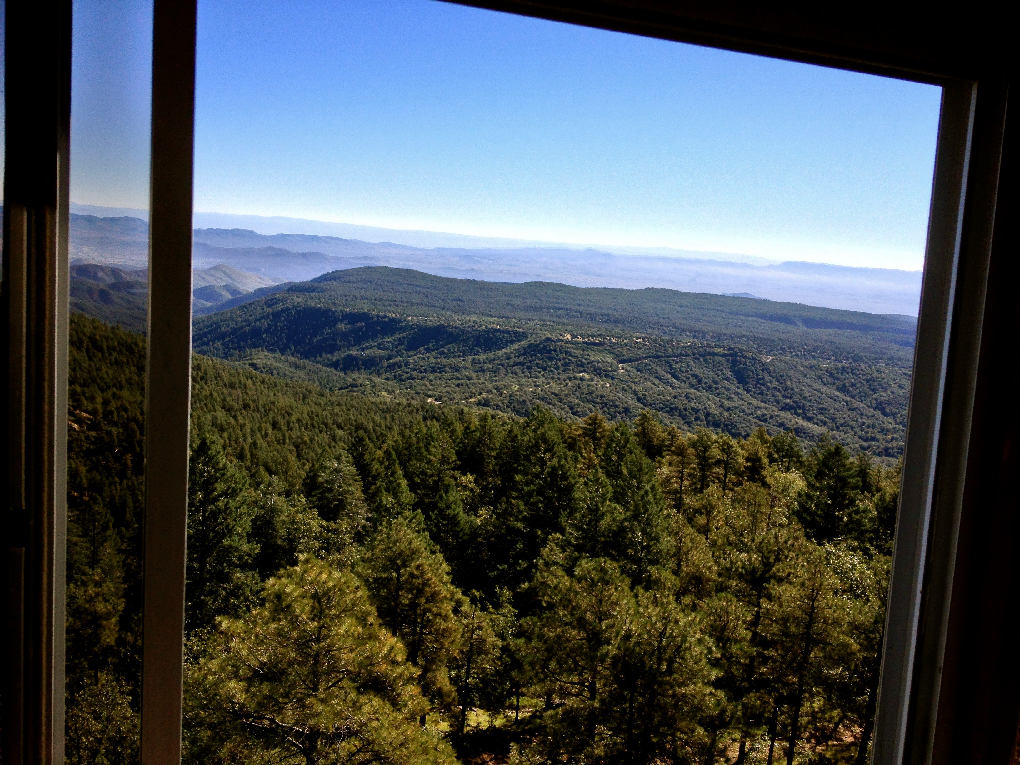
the view
Mountain View - Prescott National Forest - Yavapai County - Arizona - 22 March 2014
Lower Goldwater Lake

Prescott Best Buy Panoramic
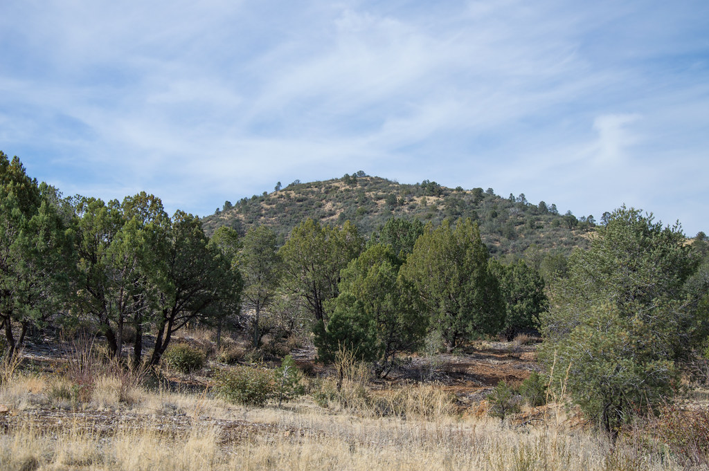
Iron Mountain View
Mt. Union Hike
Mt. Union Hike
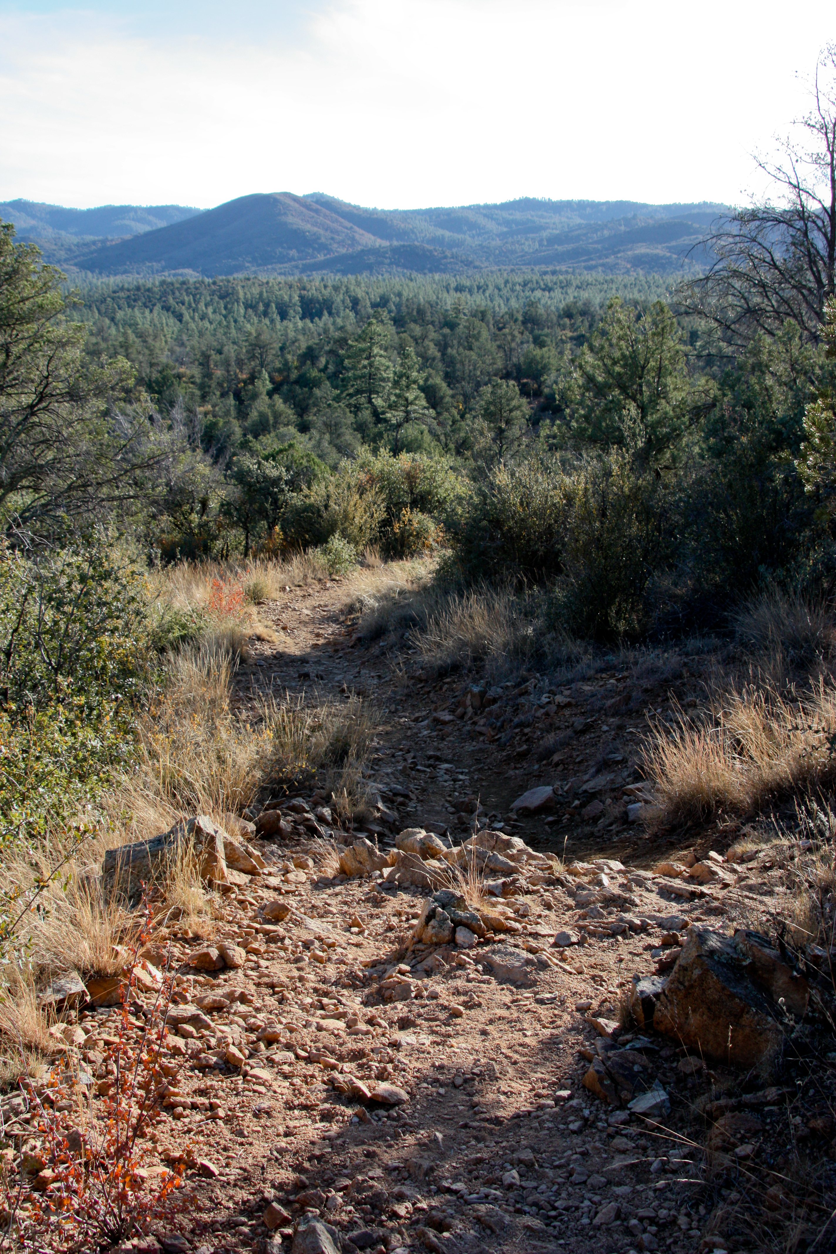
2432-1 Trail View

2405-1 View Towards Prescott Valley

66. View of Battle Flat - named after an 1864 skirmish
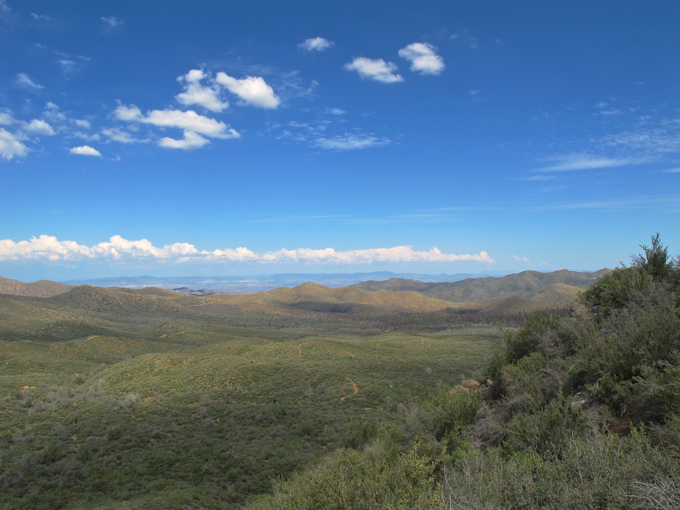
66. View of Battle Flat - named after an 1864 skirmish

66. View of Battle Flat - named after an 1864 skirmish

66. View of Battle Flat - named after an 1864 skirmish
66. View of Battle Flat - named after an 1864 skirmish
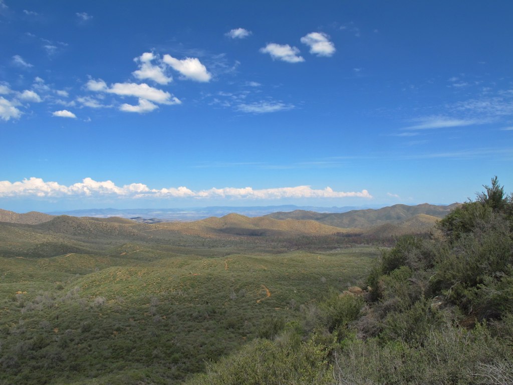
67. View of Battle Flat east of Senator Hwy.
Topographic Map of Mount Union, Mt Union, Arizona, USA
Find elevation by address:

Places near Mount Union, Mt Union, Arizona, USA:
State Route 261 Trail
8844 Hassayampa Cir
Bluff Rd, Prescott, AZ, USA
8670 S Hoot Owl Ridge Dr
2575 E Saguaro Dr
2345 E Summit Ave
7366 S Spruce Hollow Rd
3570 E Sheldon Rd
7010 Hidden Treasure
6830 Golden Fleece
6631 Keystone
8300 S Mt Tritle Rd
Bradshaw Mountains
Prescott, AZ, USA
Collins, Mayer, AZ, USA
11680 Finley Rd
7700 S Dream Ridge Cir
7575 S Thoroughbred Ln
Mayer Community Church
E Main St, Humboldt, AZ, USA
Recent Searches:
- Elevation of Corso Fratelli Cairoli, 35, Macerata MC, Italy
- Elevation of Tallevast Rd, Sarasota, FL, USA
- Elevation of 4th St E, Sonoma, CA, USA
- Elevation of Black Hollow Rd, Pennsdale, PA, USA
- Elevation of Oakland Ave, Williamsport, PA, USA
- Elevation of Pedrógão Grande, Portugal
- Elevation of Klee Dr, Martinsburg, WV, USA
- Elevation of Via Roma, Pieranica CR, Italy
- Elevation of Tavkvetili Mountain, Georgia
- Elevation of Hartfords Bluff Cir, Mt Pleasant, SC, USA