Elevation of Fox Peak Cinema, E Williams Ave, Fallon, NV, USA
Location: United States > Nevada > Fallon >
Longitude: -118.7701564
Latitude: 39.4768385
Elevation: 1207m / 3960feet
Barometric Pressure: 0KPa
Related Photos:
View from Fish Cave, Carson Desert, Nevada
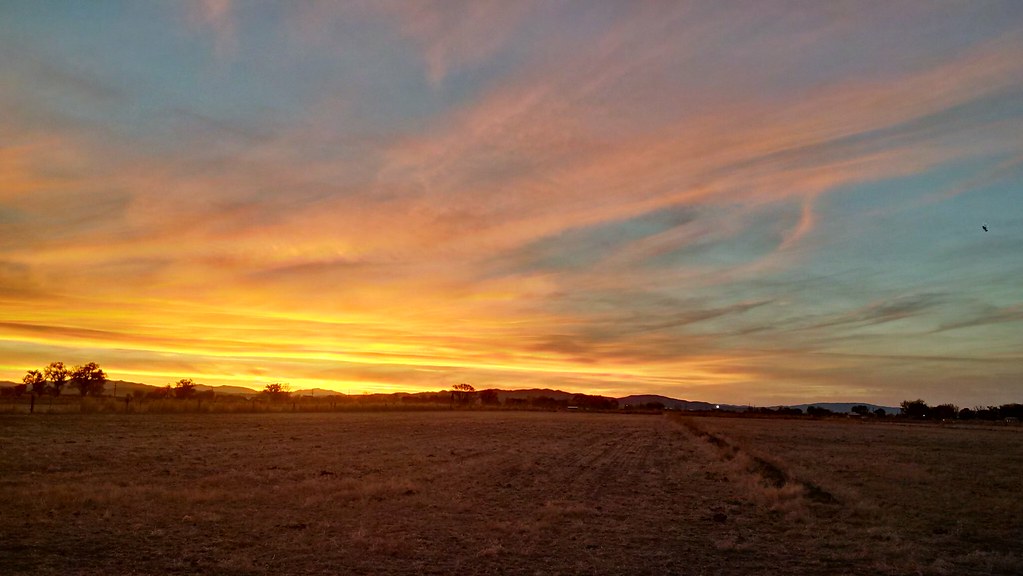
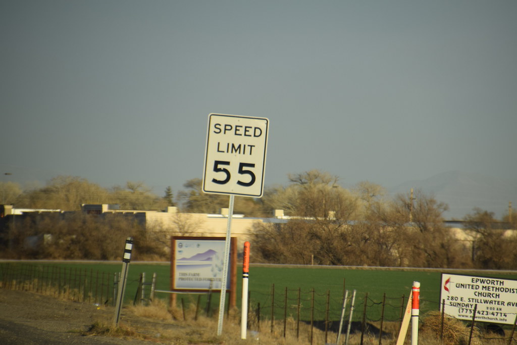
Fallon View
H5172336.jpg

Pogonip: Trees in Veterans' Memorial Park

Fallon, Nevada
Fallon, Nevada

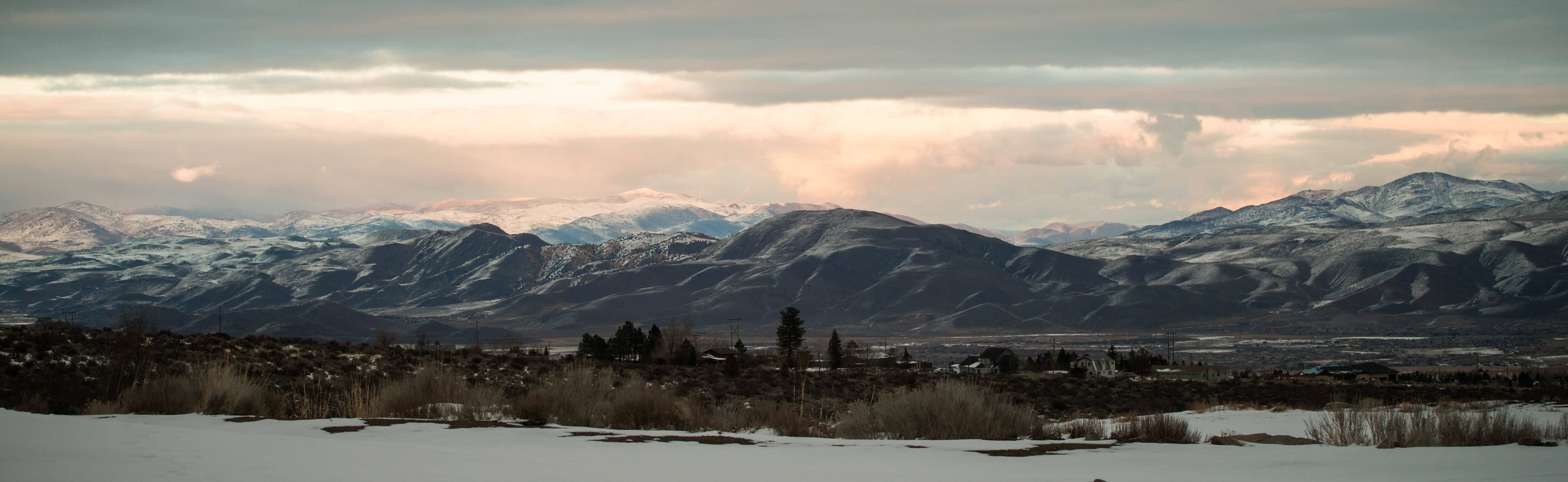
Fallon, Nevada, USA
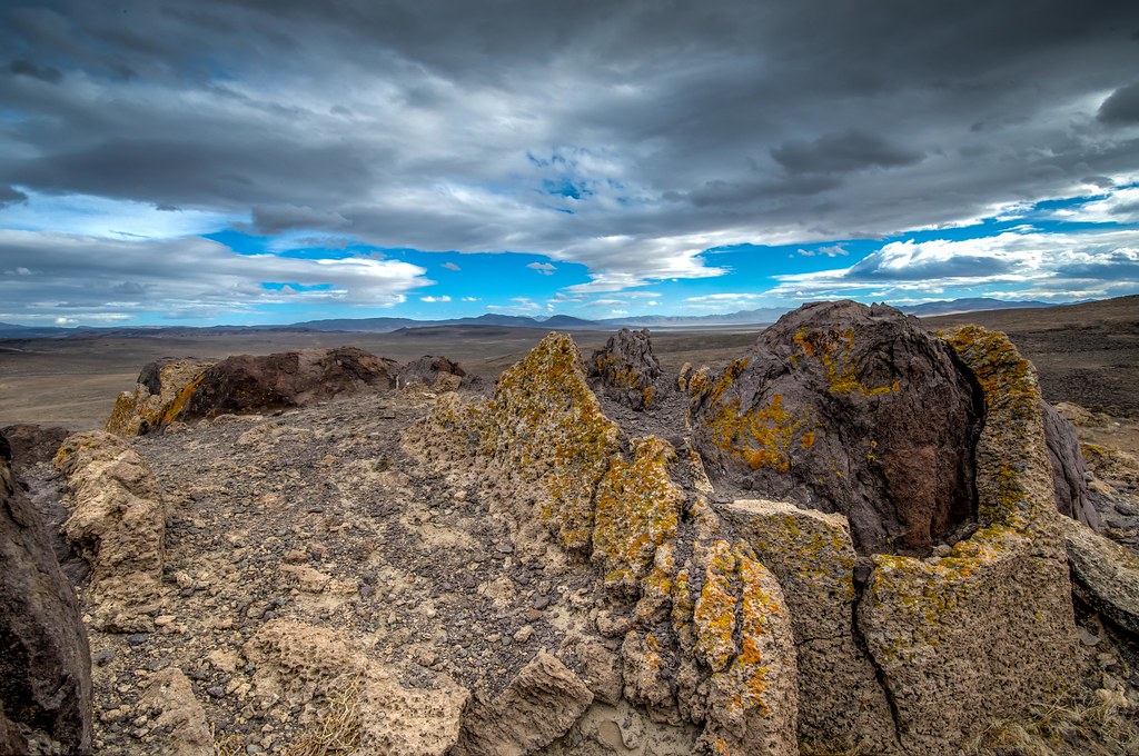
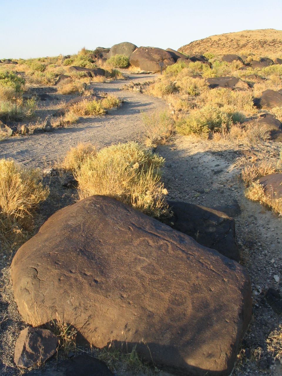
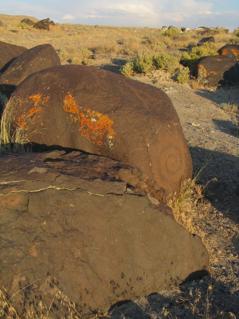
Grimes Point rock and lichen Feb 8 2015
#JOESIMPSON
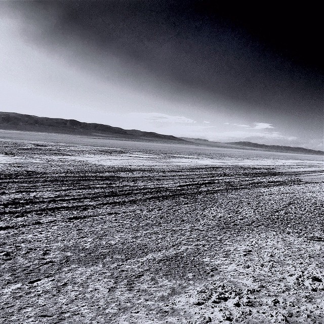
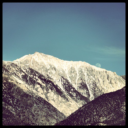
Western Range from Soda Lake (NV)
IMG_20141108_165556_hdr.jpg
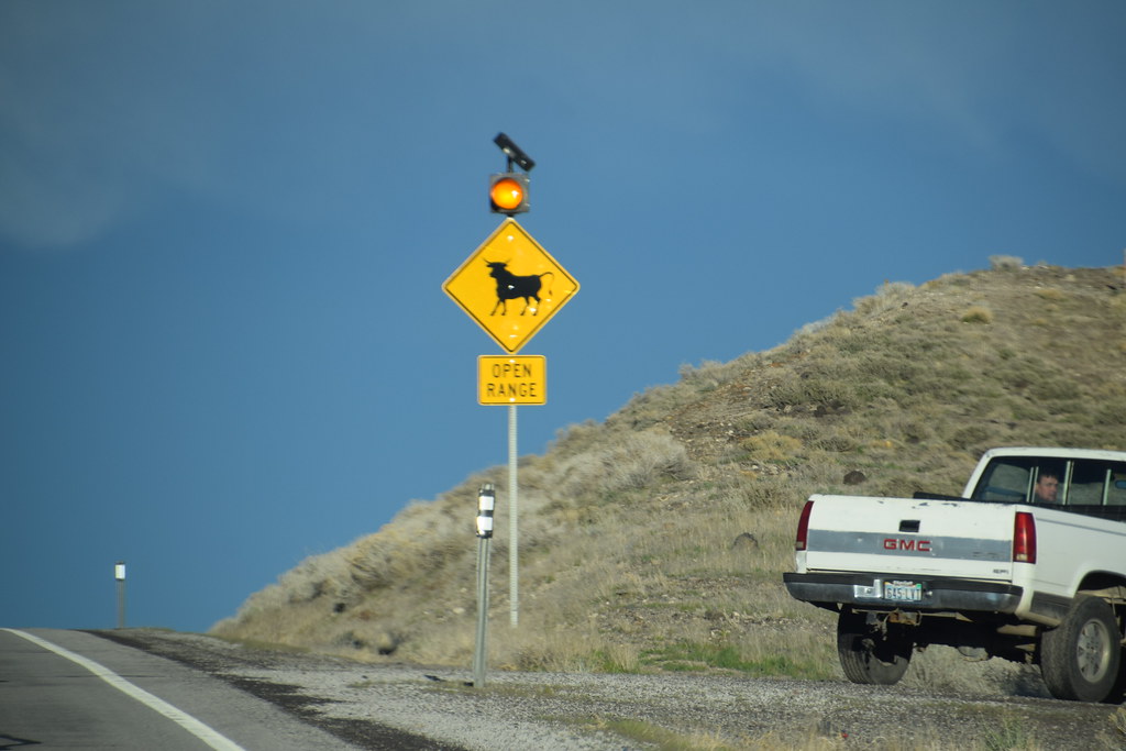
Looks like home

Pogonip: Irrigation Canal
20170318 181435 1SL6

Grimes Point
20170318 174627 1SL6
20170318 190541 1SL6
Now it is time to check out Fallon Project :) On the way to Nevada... @erikawinters
20170318 180657 1SL6
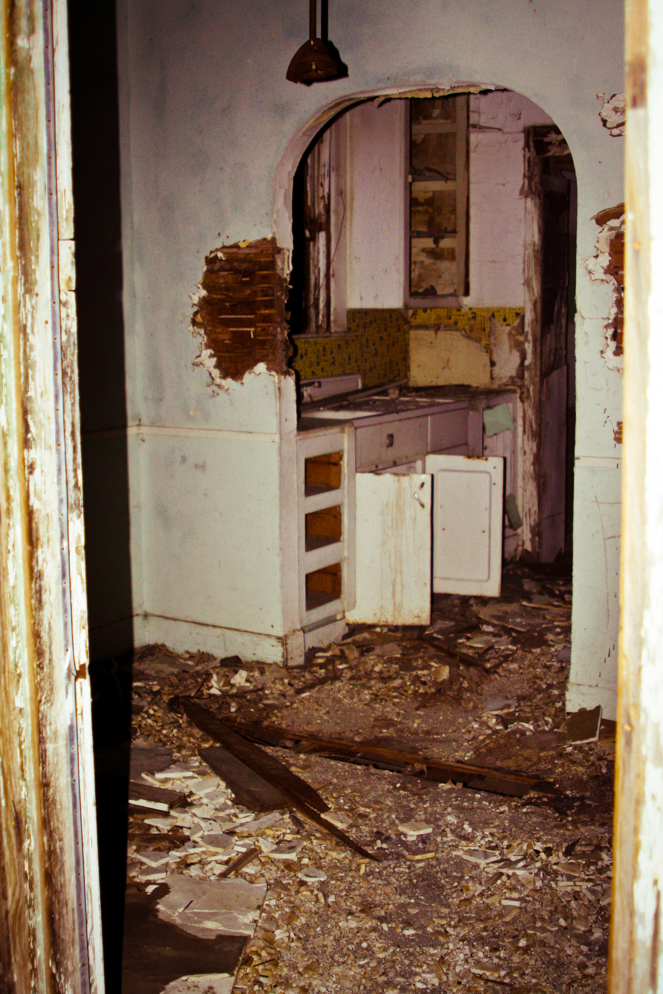
Ruins 8
Grimes Point Near Fallon, Nevada
20170318 182400 1SL6
Grimes Point, Near Fallon, Nevada
Topographic Map of Fox Peak Cinema, E Williams Ave, Fallon, NV, USA
Find elevation by address:

Places near Fox Peak Cinema, E Williams Ave, Fallon, NV, USA:
232 S Broadway St
Fallon
Fallon, NV, USA
598 Humboldt St
1175 Golden Park Way
1234 Golden Park Way
271 Carson River Dr
1250 Golden Park Way
475 Sunrise Terrace
1330 Golden Park Way
850 Hunter Park Way
Carson River Drive
Unnamed Road
1061 Sunset Dr
West Williams Avenue
2450 Schurz Hwy
120 Industrial Way
Allen Road Storage
Walmart Supercenter
2333 Reno Hwy
Recent Searches:
- Elevation of 2881, Chabot Drive, San Bruno, San Mateo County, California, 94066, USA
- Elevation of 10370, West 107th Circle, Westminster, Jefferson County, Colorado, 80021, USA
- Elevation of 611, Roman Road, Old Ford, Bow, London, England, E3 2RW, United Kingdom
- Elevation of 116, Beartown Road, Underhill, Chittenden County, Vermont, 05489, USA
- Elevation of Window Rock, Colfax County, New Mexico, 87714, USA
- Elevation of 4807, Rosecroft Street, Kempsville Gardens, Virginia Beach, Virginia, 23464, USA
- Elevation map of Matawinie, Quebec, Canada
- Elevation of Sainte-Émélie-de-l'Énergie, Matawinie, Quebec, Canada
- Elevation of Rue du Pont, Sainte-Émélie-de-l'Énergie, Matawinie, Quebec, J0K2K0, Canada
- Elevation of 8, Rue de Bécancour, Blainville, Thérèse-De Blainville, Quebec, J7B1N2, Canada
- Elevation of Wilmot Court North, 163, University Avenue West, Northdale, Waterloo, Region of Waterloo, Ontario, N2L6B6, Canada
- Elevation map of Panamá Province, Panama
- Elevation of Balboa, Panamá Province, Panama
- Elevation of San Miguel, Balboa, Panamá Province, Panama
- Elevation of Isla Gibraleón, San Miguel, Balboa, Panamá Province, Panama
- Elevation of 4655, Krischke Road, Schulenburg, Fayette County, Texas, 78956, USA
- Elevation of Carnegie Avenue, Downtown Cleveland, Cleveland, Cuyahoga County, Ohio, 44115, USA
- Elevation of Walhonding, Coshocton County, Ohio, USA
- Elevation of Clifton Down, Clifton, Bristol, City of Bristol, England, BS8 3HU, United Kingdom
- Elevation map of Auvergne-Rhône-Alpes, France