Elevation of Fossil, OR, USA
Location: United States > Oregon > Wheeler County >
Longitude: -120.21613
Latitude: 44.9981864
Elevation: 811m / 2661feet
Barometric Pressure: 92KPa
Elevation Map:
Satellite Map:
Related Photos:
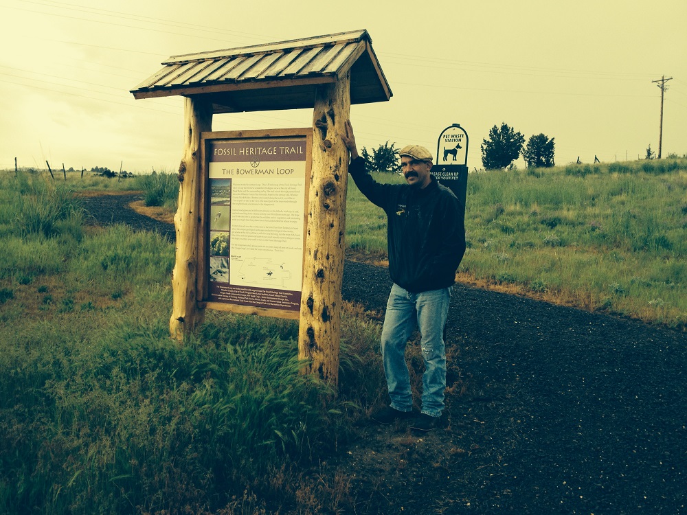
Fossil Heritage Trail System
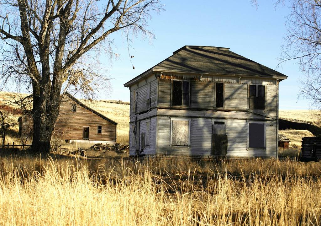
Stinchfield House
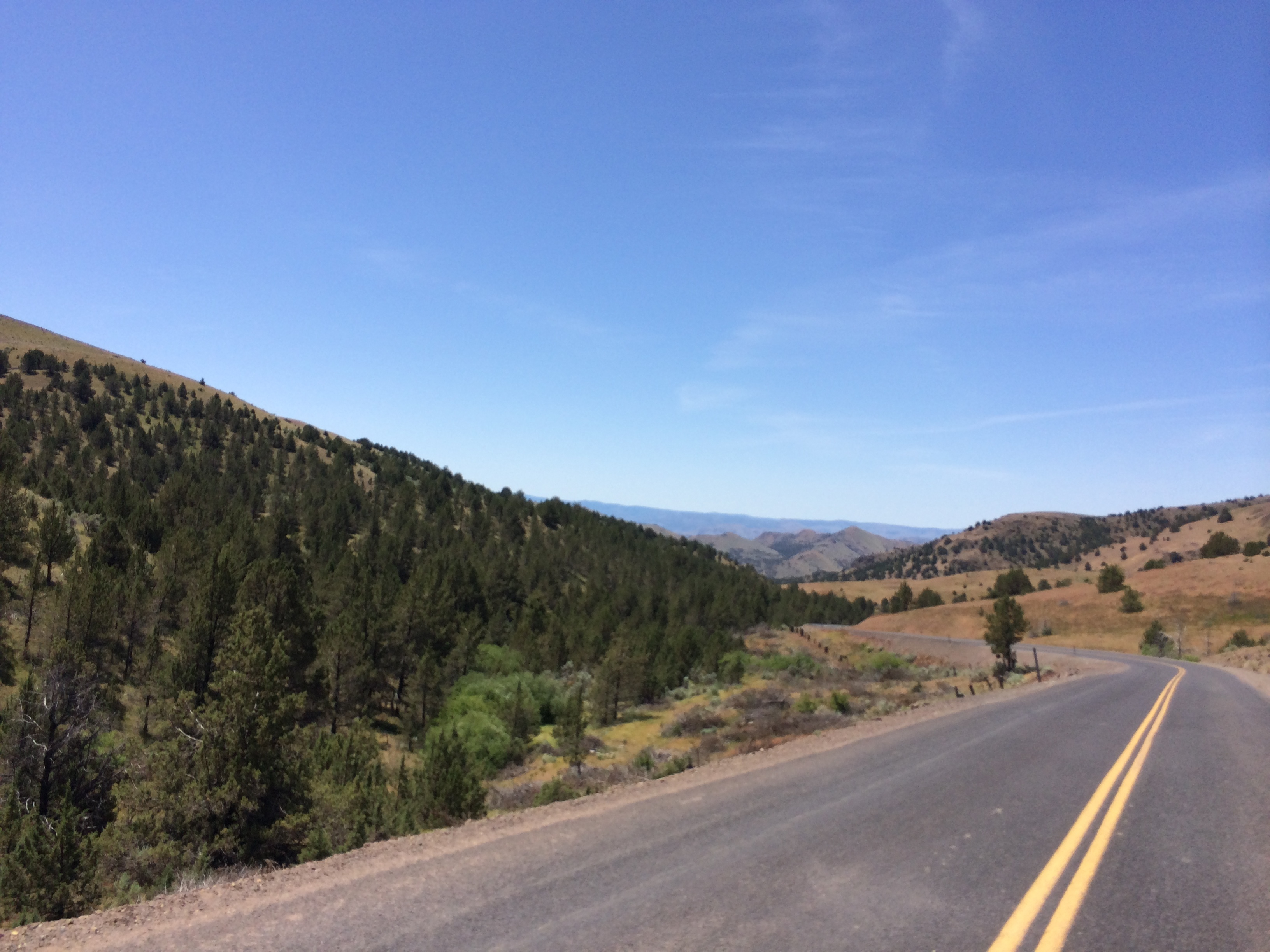
Journey Through Time Highway

DSCN0335.JPG

DSCN0355.JPG

DSCN0562.JPG
Sunset from the Deck

Hay What?

Geum triflorum var. ciliatum (Rosaceae); Prairie smoke

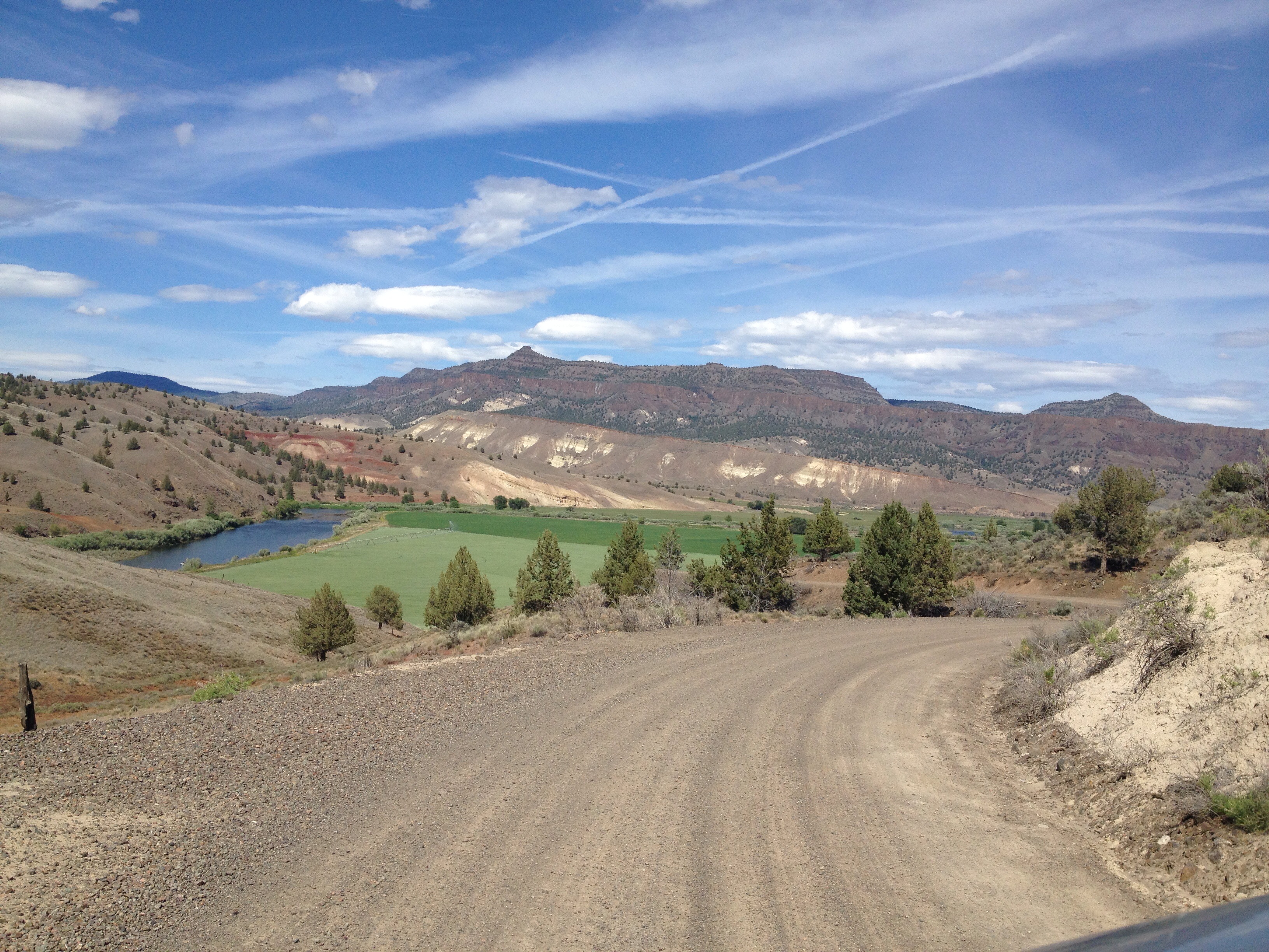
Road Home
A flicker in time

Sunriver 2013_018-MOD
Day two, leg one, 6:55 AM.
Mayville-2
Sunriver 2013_021-MOD

Barbed Wire
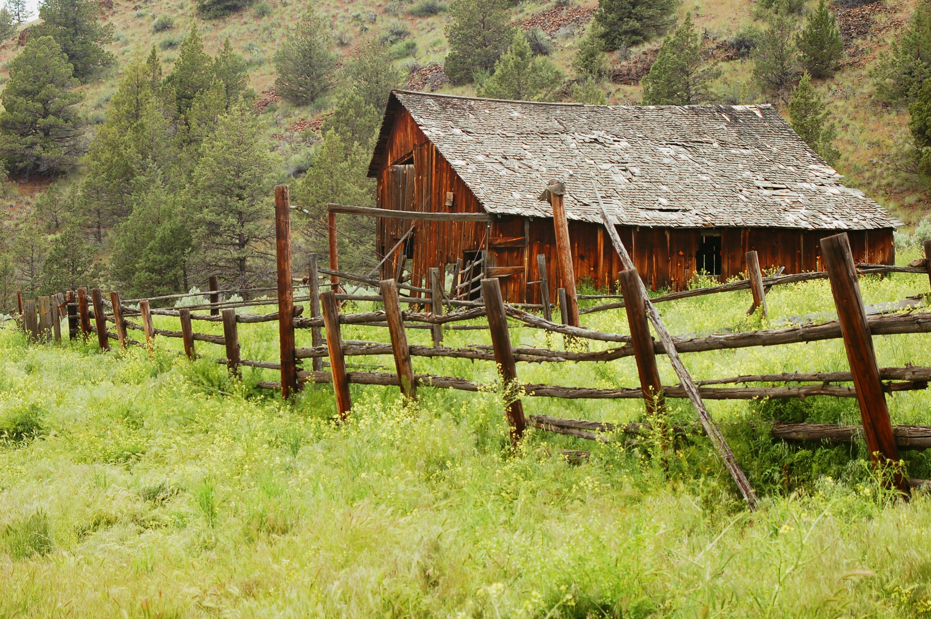
Old Barn

Fall Gather 294.jpg

ioof #110 - fossil, or
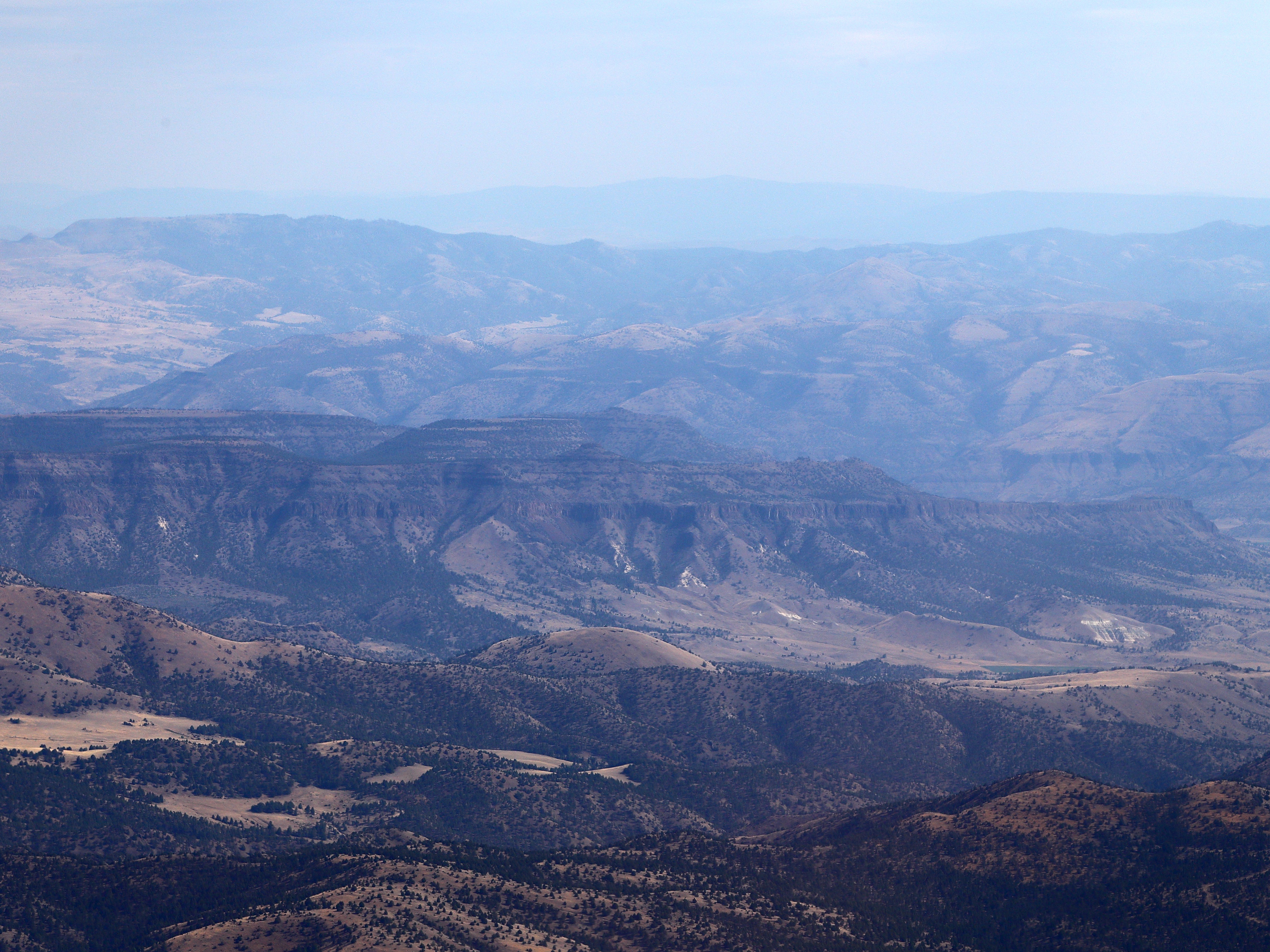
Eastern Oregon
Sunriver 2013_019-MOD

Between Sheep Rock and Clarno..
Topographic Map of Fossil, OR, USA
Find elevation by address:

Places near Fossil, OR, USA:
Richmond Rd, Spray, OR, USA
Wheeler County
33998 Cougar Mountain Rd
23684 Winlock Rd
23684 Winlock Ln
109 Asher St
Spray
Antelope
Walton Lake
John Day Fossil Beds National Monument
2648 Ne Double L Rd
Franklin St, Dayville, OR, USA
Dayville
Paulina
Crook County
Northeast 8th Street
Southeast Combs Flat Road
Prineville
SE Knowledge St, Prineville, OR, USA
525 Ne 6th St
Recent Searches:
- Elevation of Corso Fratelli Cairoli, 35, Macerata MC, Italy
- Elevation of Tallevast Rd, Sarasota, FL, USA
- Elevation of 4th St E, Sonoma, CA, USA
- Elevation of Black Hollow Rd, Pennsdale, PA, USA
- Elevation of Oakland Ave, Williamsport, PA, USA
- Elevation of Pedrógão Grande, Portugal
- Elevation of Klee Dr, Martinsburg, WV, USA
- Elevation of Via Roma, Pieranica CR, Italy
- Elevation of Tavkvetili Mountain, Georgia
- Elevation of Hartfords Bluff Cir, Mt Pleasant, SC, USA