Elevation map of Crook County, OR, USA
Location: United States > Oregon >
Longitude: -120.09636
Latitude: 44.0978126
Elevation: 1106m / 3629feet
Barometric Pressure: 89KPa
Elevation Map:
Satellite Map:
Related Photos:

Photo

Snapseed-88

photo.jpg

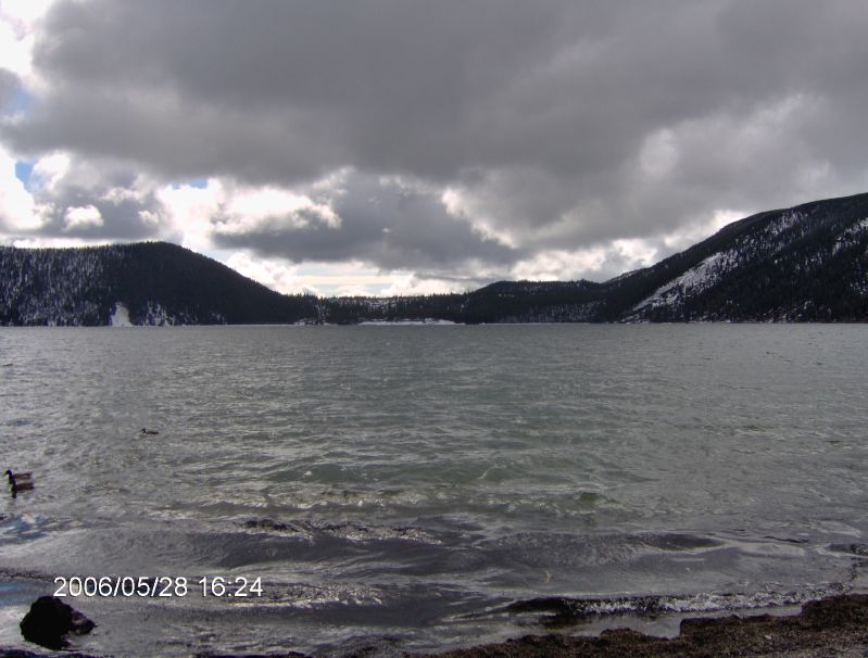
Paulina Lake

Paulina Lake

Paulina Lake
East Paulina Lake

East Paulina Lake
Topographic Map of Crook County, OR, USA
Find elevation by address:

Places in Crook County, OR, USA:
Places near Crook County, OR, USA:
Paulina
Walton Lake
Weberg Rd, Paulina, OR, USA
Oregon
33998 Cougar Mountain Rd
Wheeler County
2648 Ne Double L Rd
Southeast Golden Eagle Drive
John Day Fossil Beds National Monument
Richmond Rd, Spray, OR, USA
7635 Se Walther Loop
Franklin St, Dayville, OR, USA
Dayville
6698 Se Weatherby Loop
6642 Se Weatherby Loop
Southeast Bridge Road
3517 Se Umatilla Loop
Southeast Combs Flat Road
Prineville
SE Knowledge St, Prineville, OR, USA
Recent Searches:
- Elevation of Corso Fratelli Cairoli, 35, Macerata MC, Italy
- Elevation of Tallevast Rd, Sarasota, FL, USA
- Elevation of 4th St E, Sonoma, CA, USA
- Elevation of Black Hollow Rd, Pennsdale, PA, USA
- Elevation of Oakland Ave, Williamsport, PA, USA
- Elevation of Pedrógão Grande, Portugal
- Elevation of Klee Dr, Martinsburg, WV, USA
- Elevation of Via Roma, Pieranica CR, Italy
- Elevation of Tavkvetili Mountain, Georgia
- Elevation of Hartfords Bluff Cir, Mt Pleasant, SC, USA