Elevation map of Fort Smith, Unorganized, NT, Canada
Location: Canada > Northwest Territories > Fort Smith Region >
Longitude: -111.9872505
Latitude: 61.8177664
Elevation: 157m / 515feet
Barometric Pressure: 0KPa
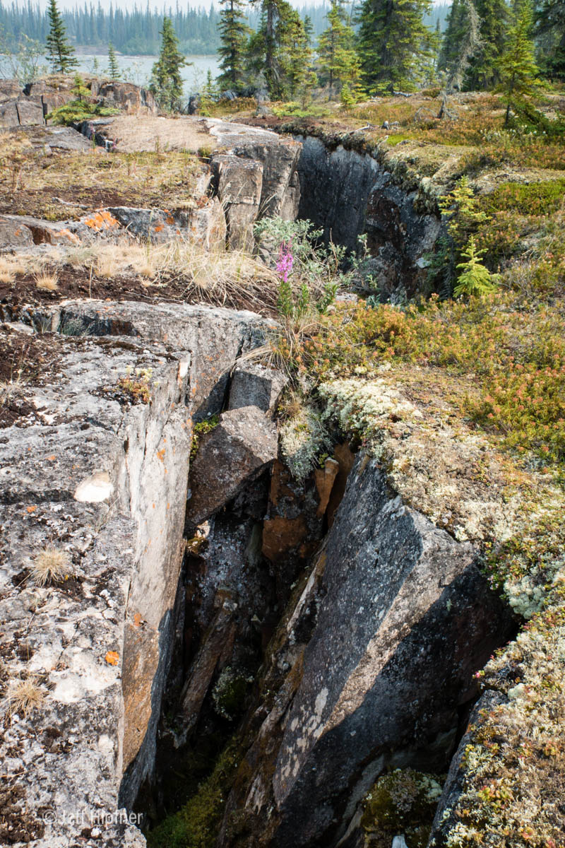
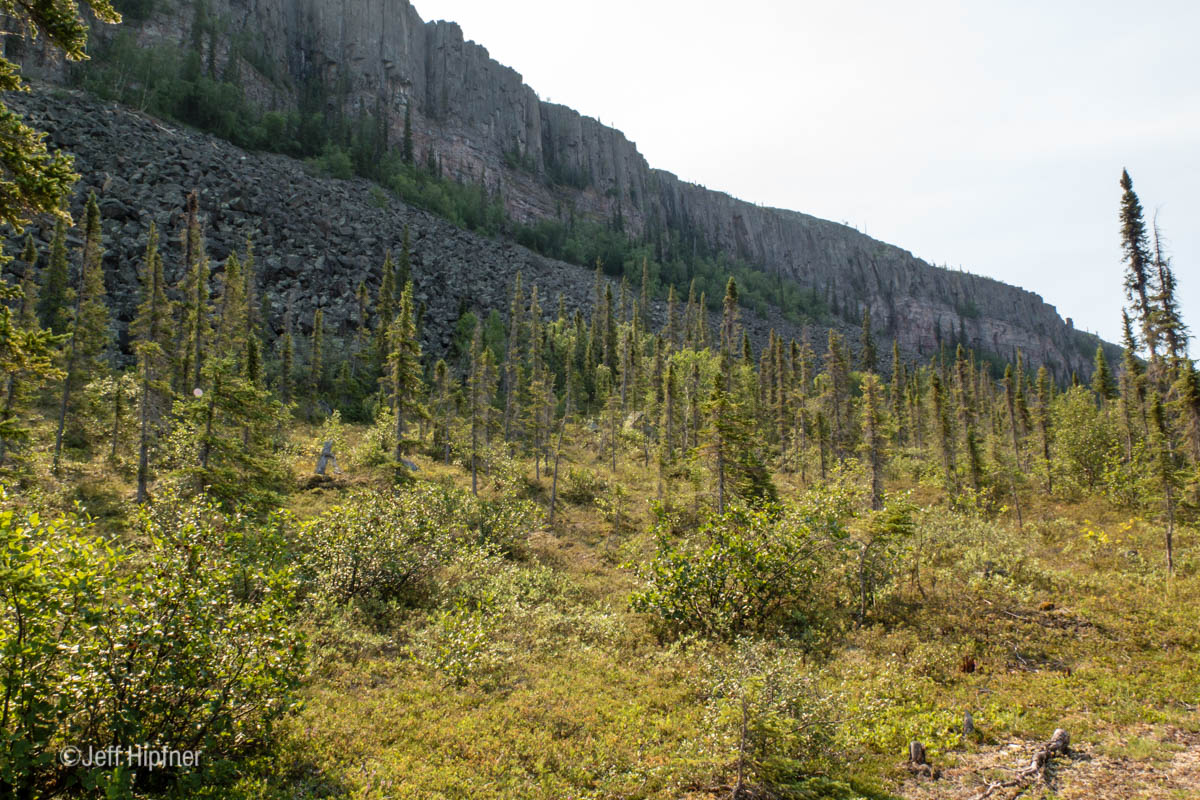
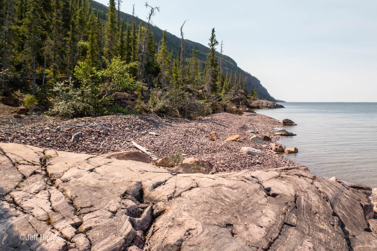
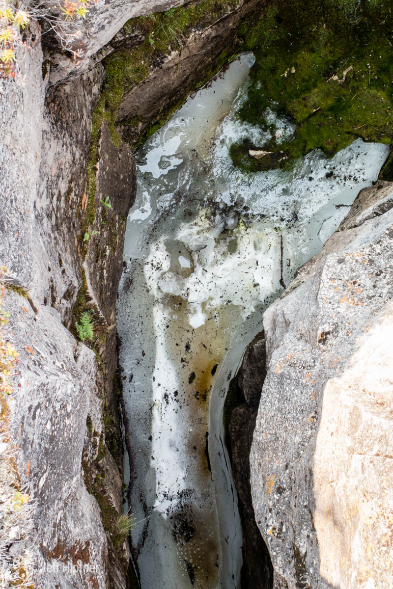
Related Photos:
Image from page 1694 of "Canadian grocer January-June 1921" (1921)
J_HIPFNER-0539.jpg
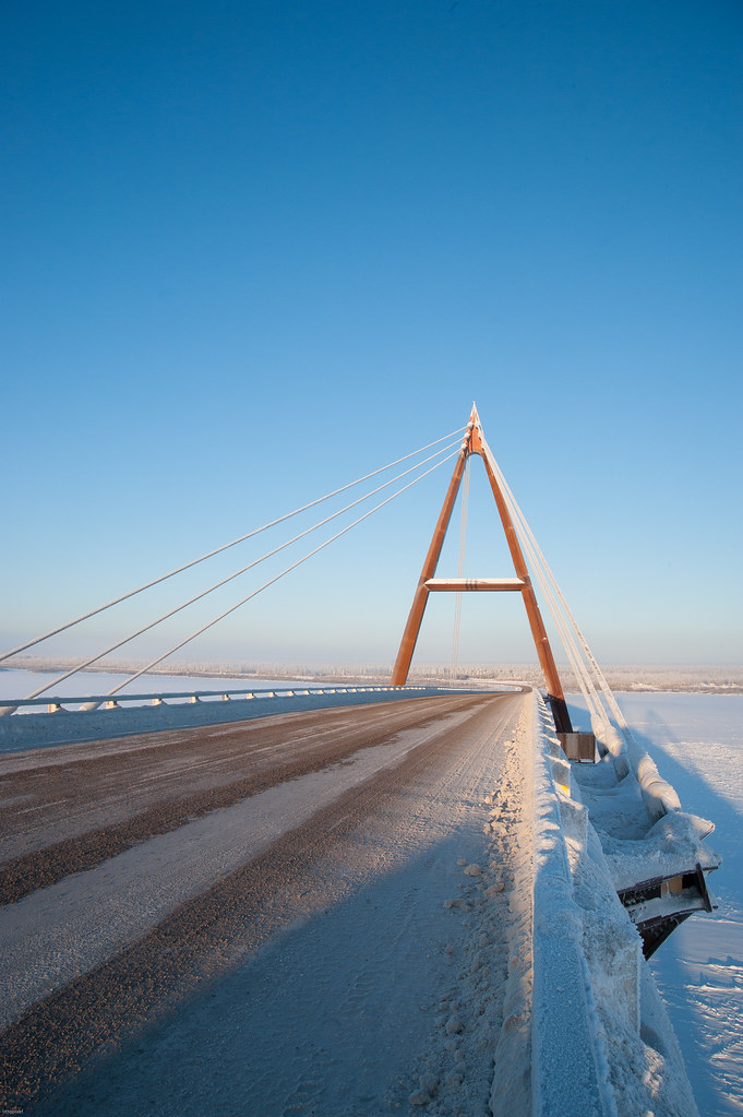
Deh Cho Bridge
J_HIPFNER-0318.jpg
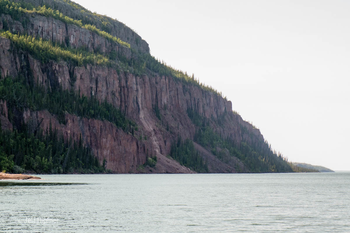
J_HIPFNER-0429.jpg
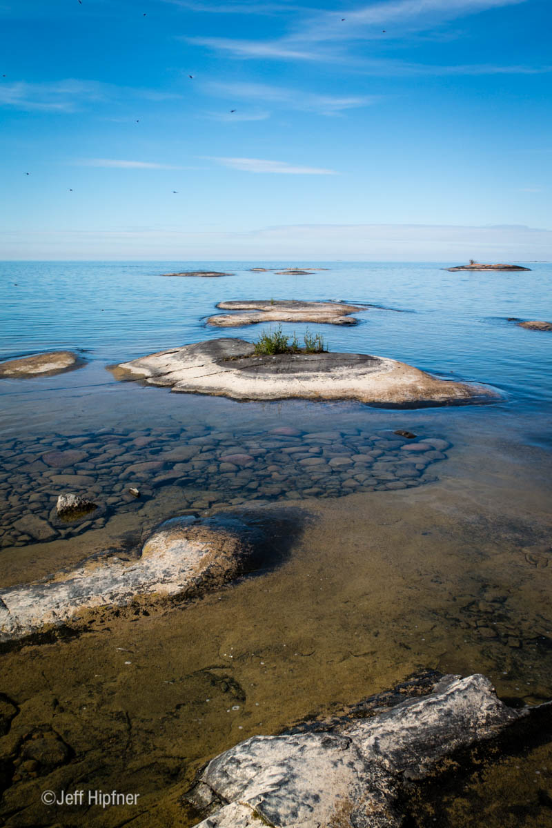
J_HIPFNER-0314.jpg
J_HIPFNER-0321.jpg
J_HIPFNER-0421.jpg
Topographic Map of Fort Smith, Unorganized, NT, Canada
Find elevation by address:

Places in Fort Smith, Unorganized, NT, Canada:
Yellowknife
Rae-edzo
Great Slave Lake
Fort Liard
Prosperous Lake
Raven Throat Peak
Redstone Peak
Redstone Hill
Stelfox Mountain
Jata Eta Mountain
Fort Simpson
Trout Lake
Lac La Martre
Keller Lake
Yellowknife Highway
Gordon Lake
14 Cassidy Point, Yellowknife, NT X0E, Canada
Recent Searches:
- Elevation of 116, Beartown Road, Underhill, Chittenden County, Vermont, 05489, USA
- Elevation of Window Rock, Colfax County, New Mexico, 87714, USA
- Elevation of 4807, Rosecroft Street, Kempsville Gardens, Virginia Beach, Virginia, 23464, USA
- Elevation map of Matawinie, Quebec, Canada
- Elevation of Sainte-Émélie-de-l'Énergie, Matawinie, Quebec, Canada
- Elevation of Rue du Pont, Sainte-Émélie-de-l'Énergie, Matawinie, Quebec, J0K2K0, Canada
- Elevation of 8, Rue de Bécancour, Blainville, Thérèse-De Blainville, Quebec, J7B1N2, Canada
- Elevation of Wilmot Court North, 163, University Avenue West, Northdale, Waterloo, Region of Waterloo, Ontario, N2L6B6, Canada
- Elevation map of Panamá Province, Panama
- Elevation of Balboa, Panamá Province, Panama
- Elevation of San Miguel, Balboa, Panamá Province, Panama
- Elevation of Isla Gibraleón, San Miguel, Balboa, Panamá Province, Panama
- Elevation of 4655, Krischke Road, Schulenburg, Fayette County, Texas, 78956, USA
- Elevation of Carnegie Avenue, Downtown Cleveland, Cleveland, Cuyahoga County, Ohio, 44115, USA
- Elevation of Walhonding, Coshocton County, Ohio, USA
- Elevation of Clifton Down, Clifton, Bristol, City of Bristol, England, BS8 3HU, United Kingdom
- Elevation map of Auvergne-Rhône-Alpes, France
- Elevation map of Upper Savoy, Auvergne-Rhône-Alpes, France
- Elevation of Chamonix-Mont-Blanc, Upper Savoy, Auvergne-Rhône-Alpes, France
- Elevation of 908, Northwood Drive, Bridge Field, Chesapeake, Virginia, 23322, USA