Elevation of Fort Osage Township, MO, USA
Location: United States > Missouri > Jackson County >
Longitude: -94.212833
Latitude: 39.1408499
Elevation: 222m / 728feet
Barometric Pressure: 99KPa
Elevation Map:
Satellite Map:
Related Photos:

Eastern Blue Birdird

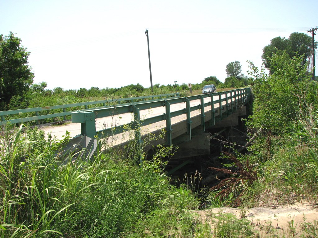
Liberty Bend Bridges
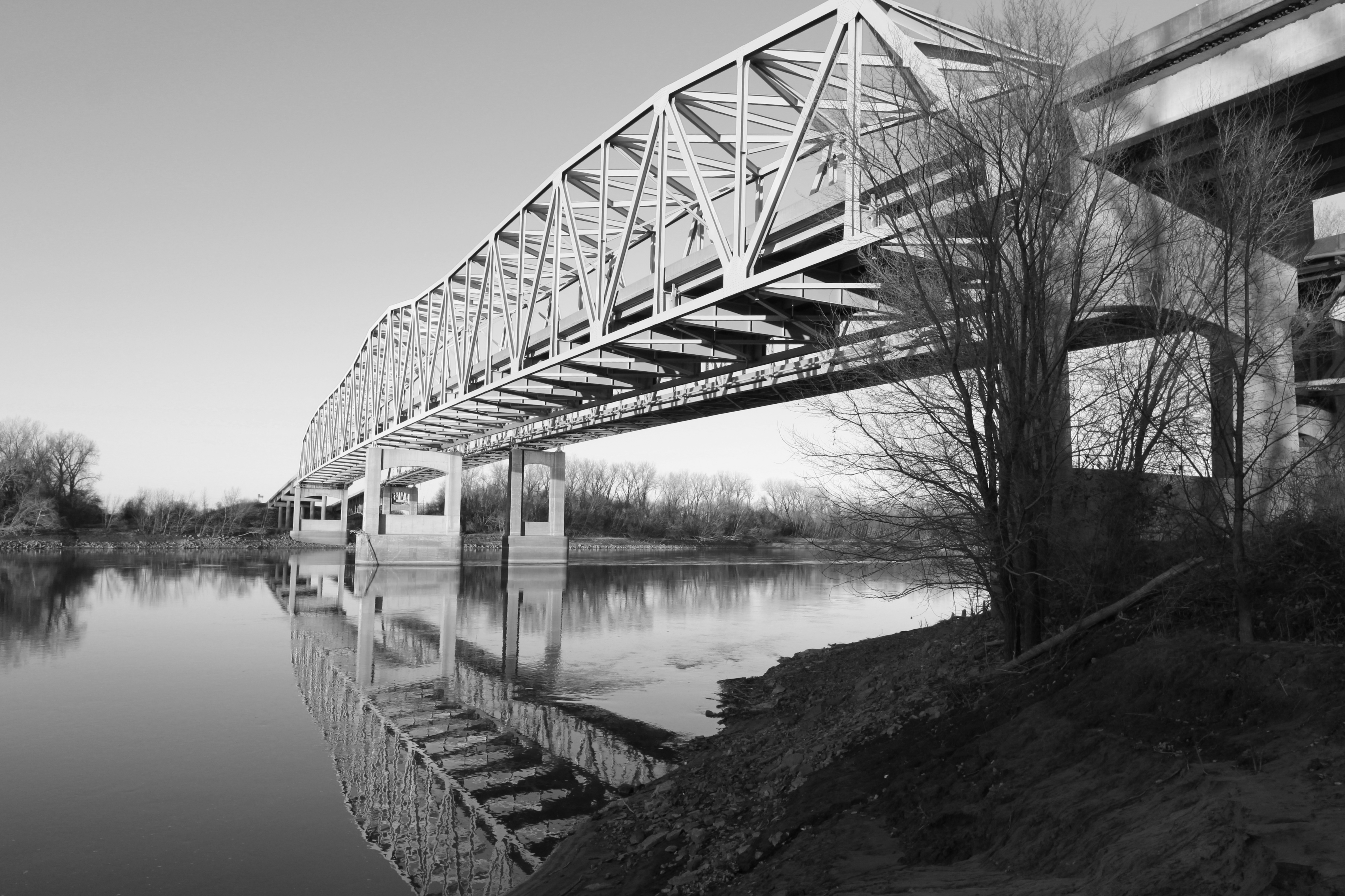
Liberty Bend Bridges

Northern Cardinal.
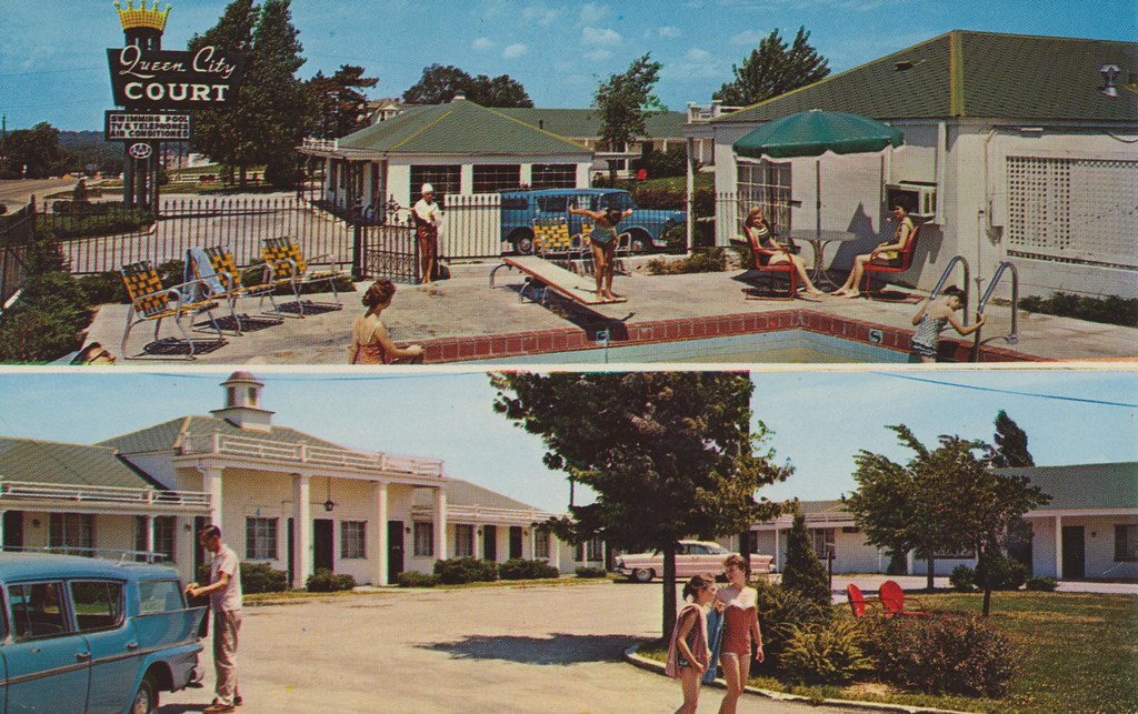
Queen City Court - Independence, Missouri
Views From Amtrak
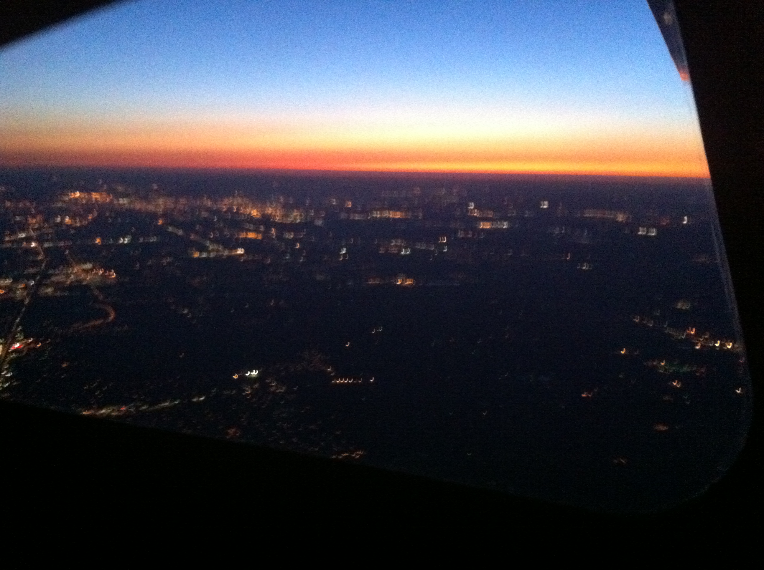
Blurry Kansas City at night, 7500ft
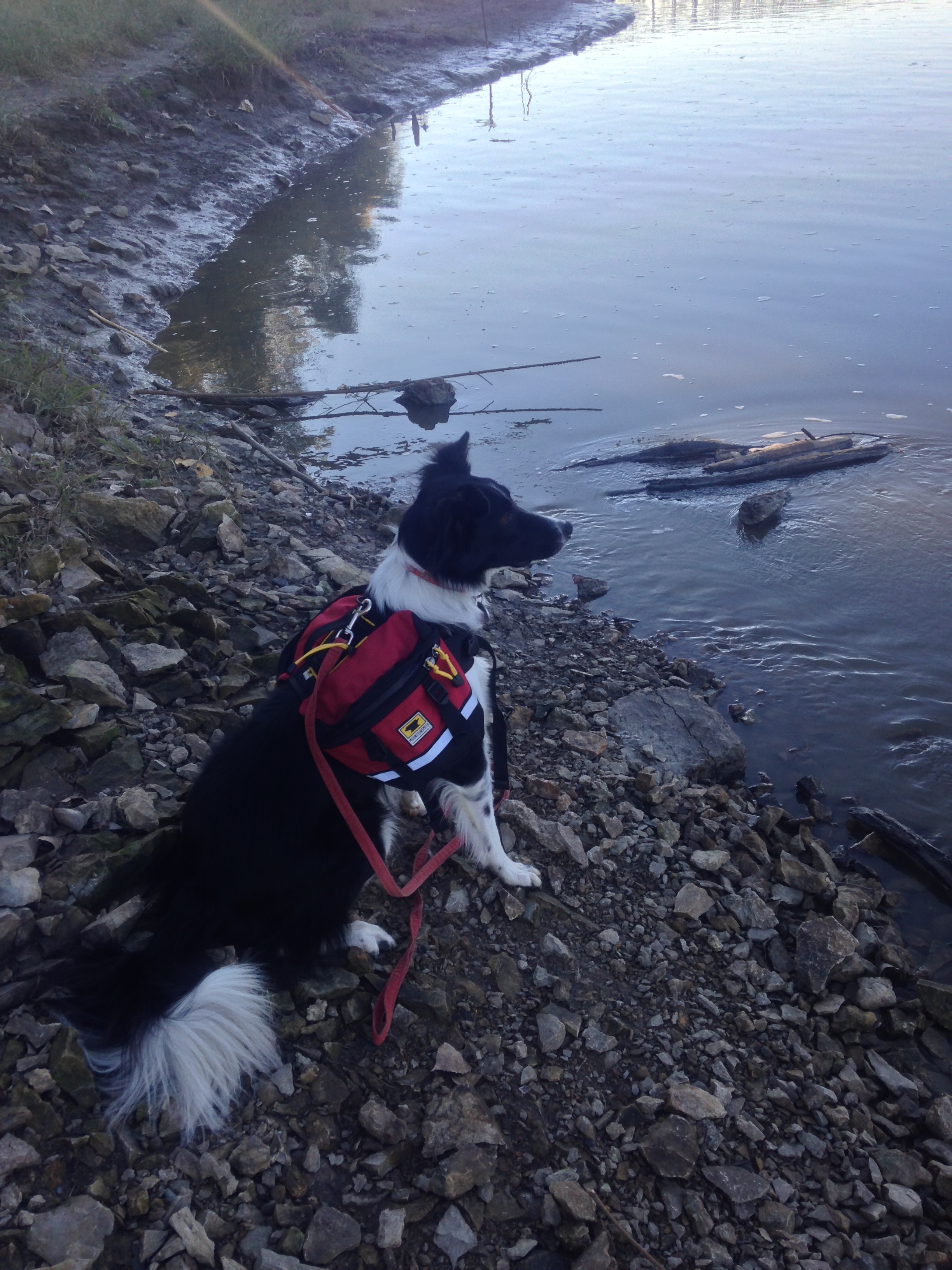
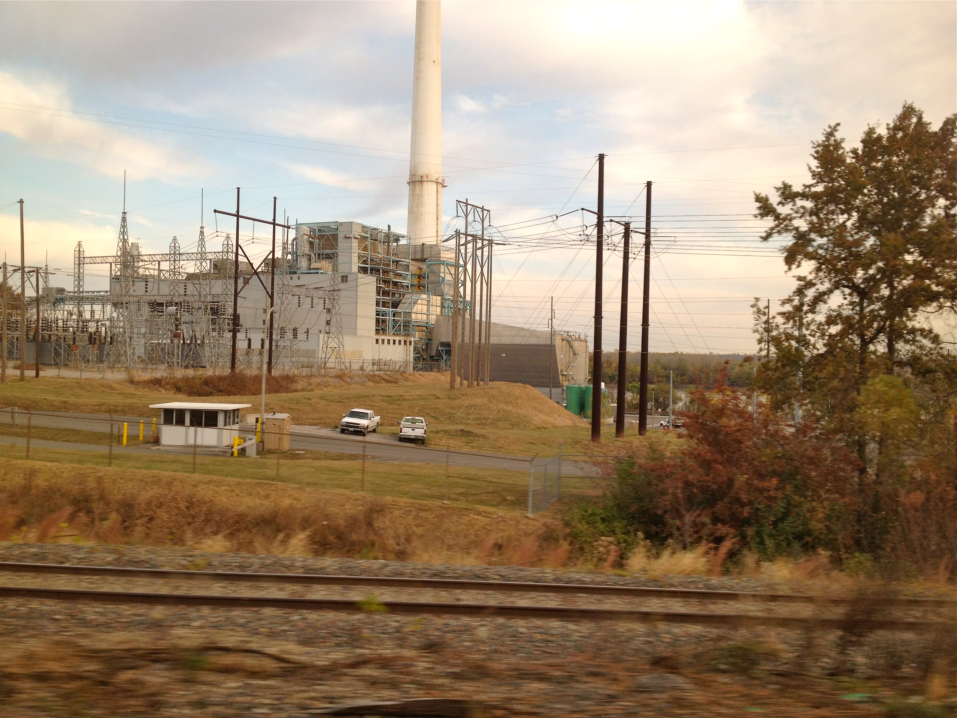
Missouri River view
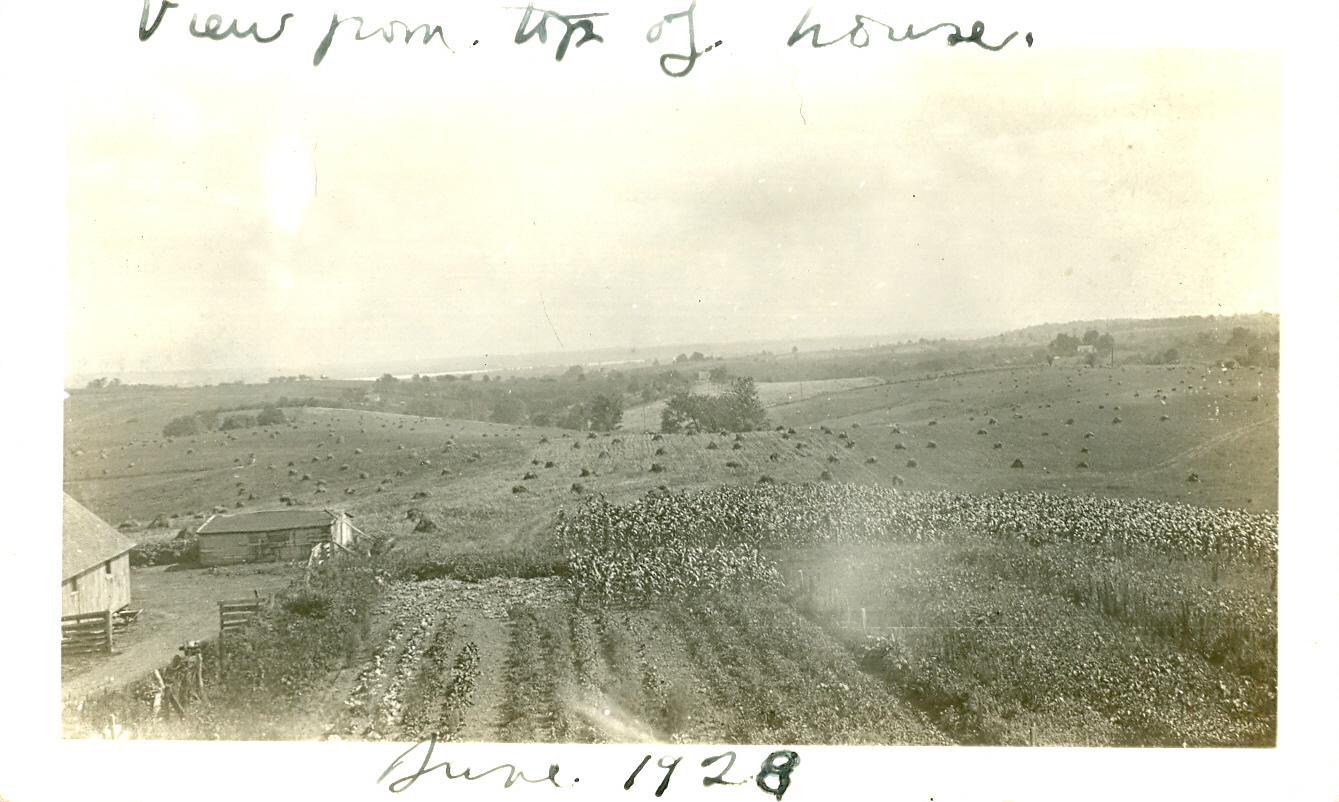
View from top of house June 1928
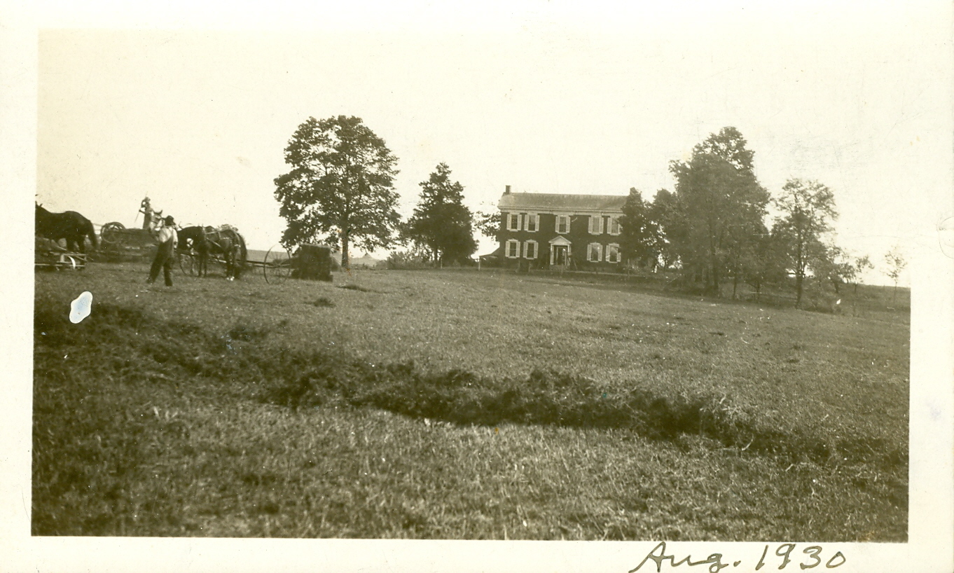
Pharis Farm Aug 1930

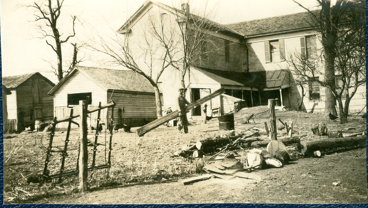
Bell-Pharis Home

Feb 1945 landscape looking south
Donald Pharis house
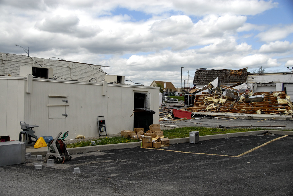
Back of Arbies.
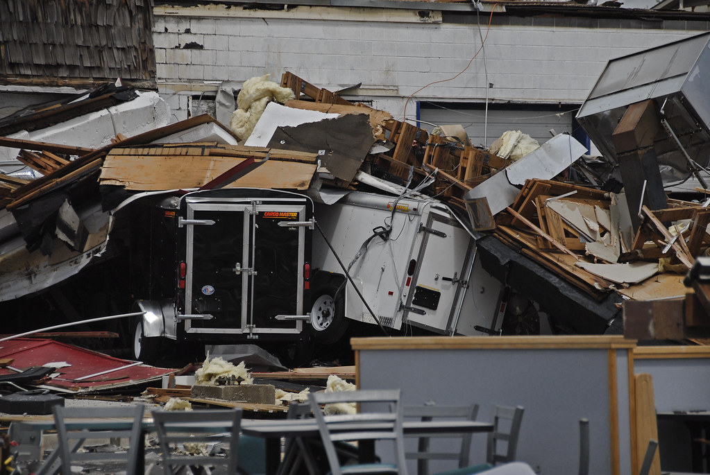
Arbie's has moved one lot North.
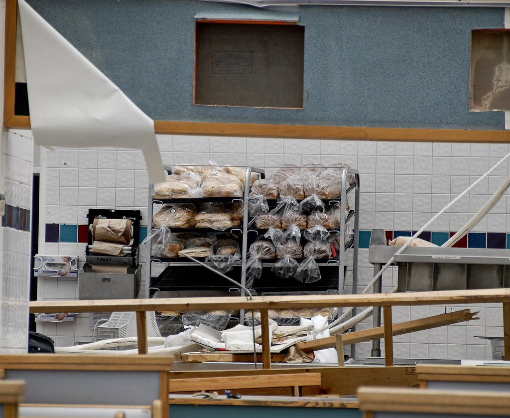
The miracle of the bread.

View from my home office.

739 MOCK #F BLUE SPRINGS, MISSOURI
083008Ft Osage

Pharis Farm bedroom
Side View: Rush Creek
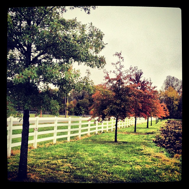
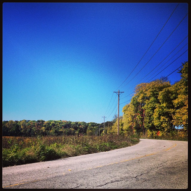
#trees #autumn
Two trees. #autumn
#harvest

20091007_06-44-28

The things I see on my street #countrylivin #thesticks #bfe #instagram #instagood #iphone #iphoneography #iphonephotography #amaro #tractor #farm #favepartoftheday
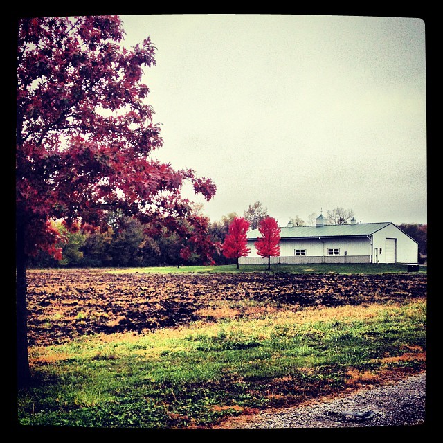
More #autumn.
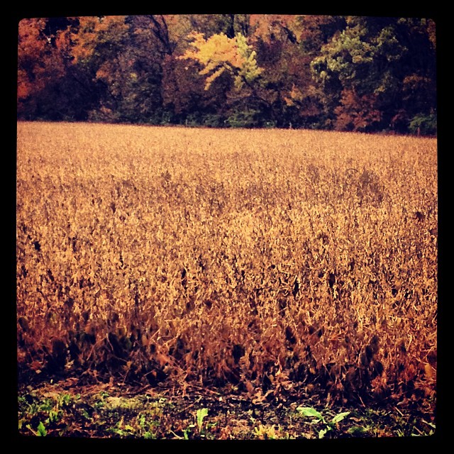
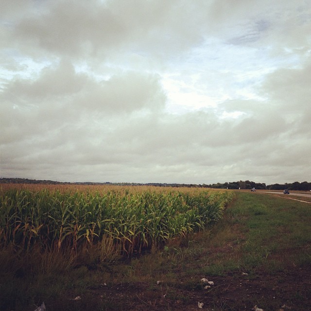
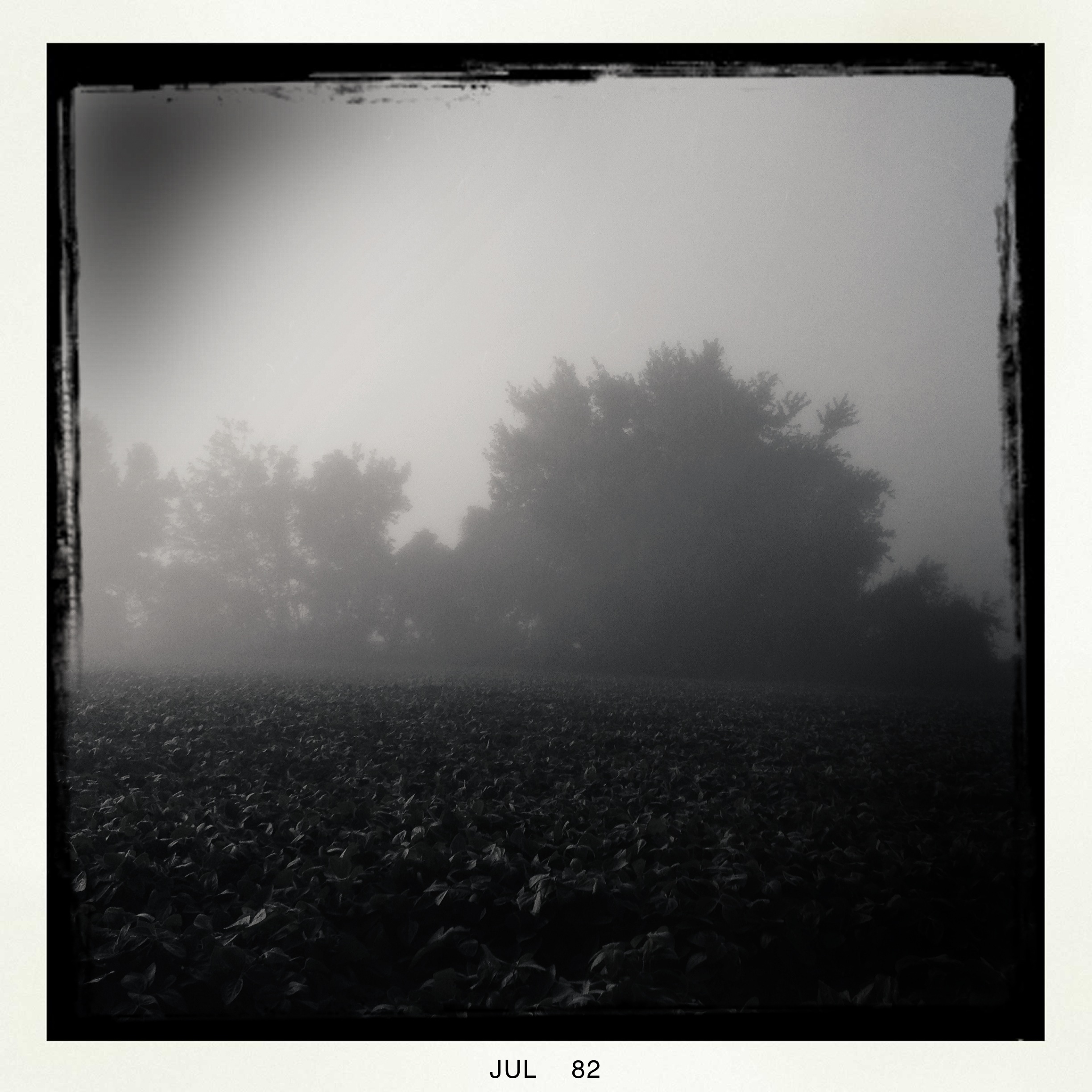
#soybeans
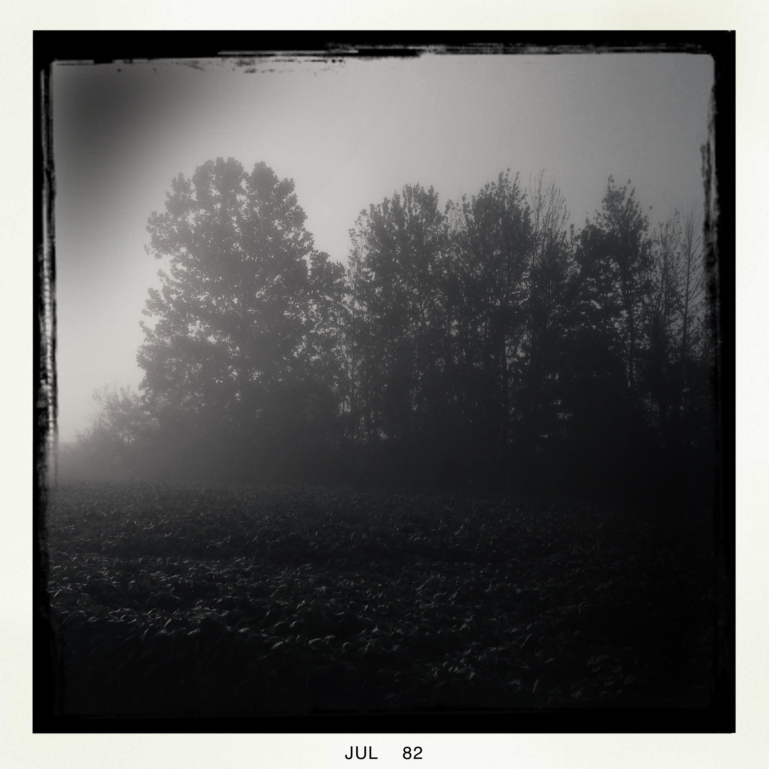
Early Morning Bike Ride 071412
Early Morning Bike Ride 071412

Bethany Falls Limestone, Burr Oak Woods

Strange Fruit, Burr Oak Woods
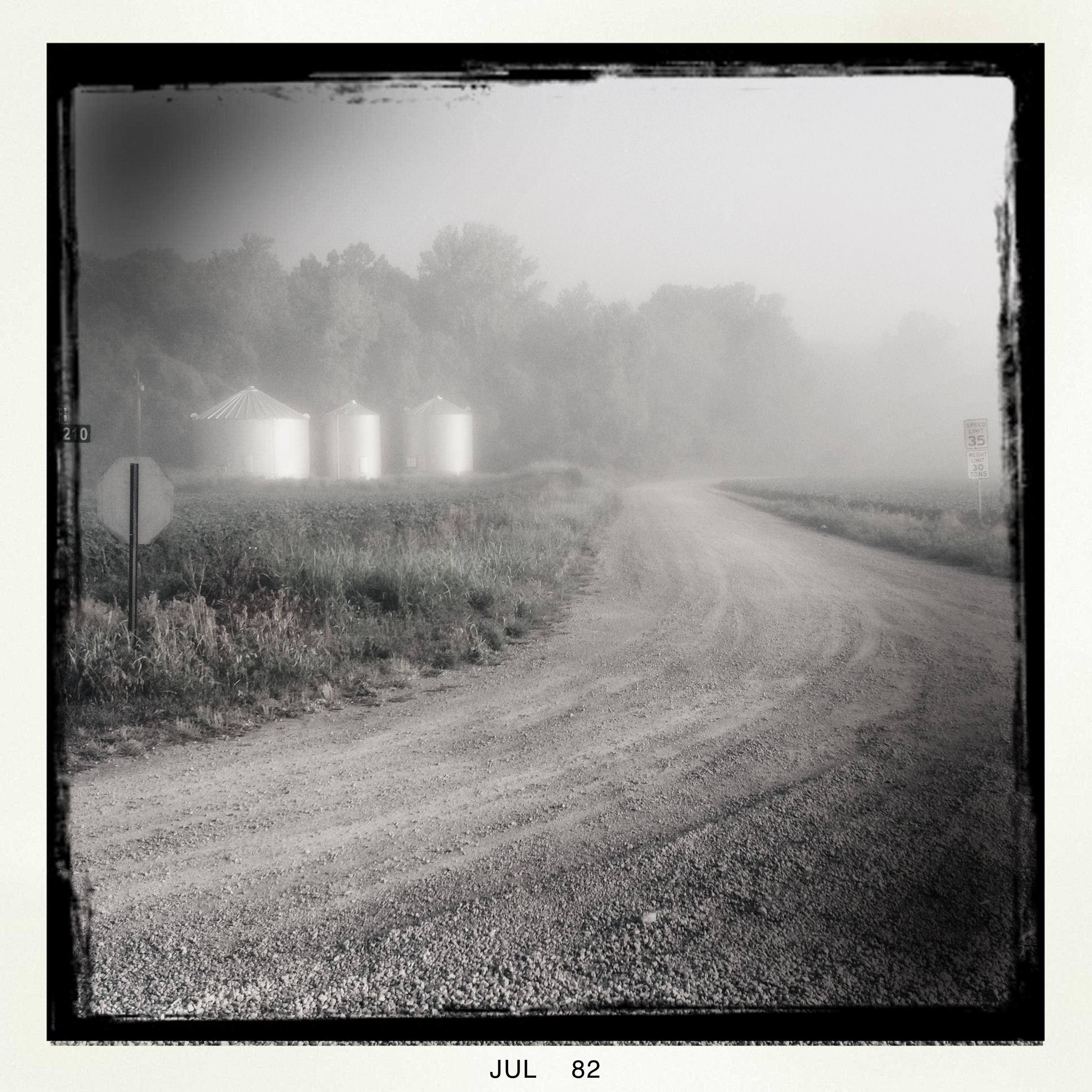
Early Morning Bike Ride 071412
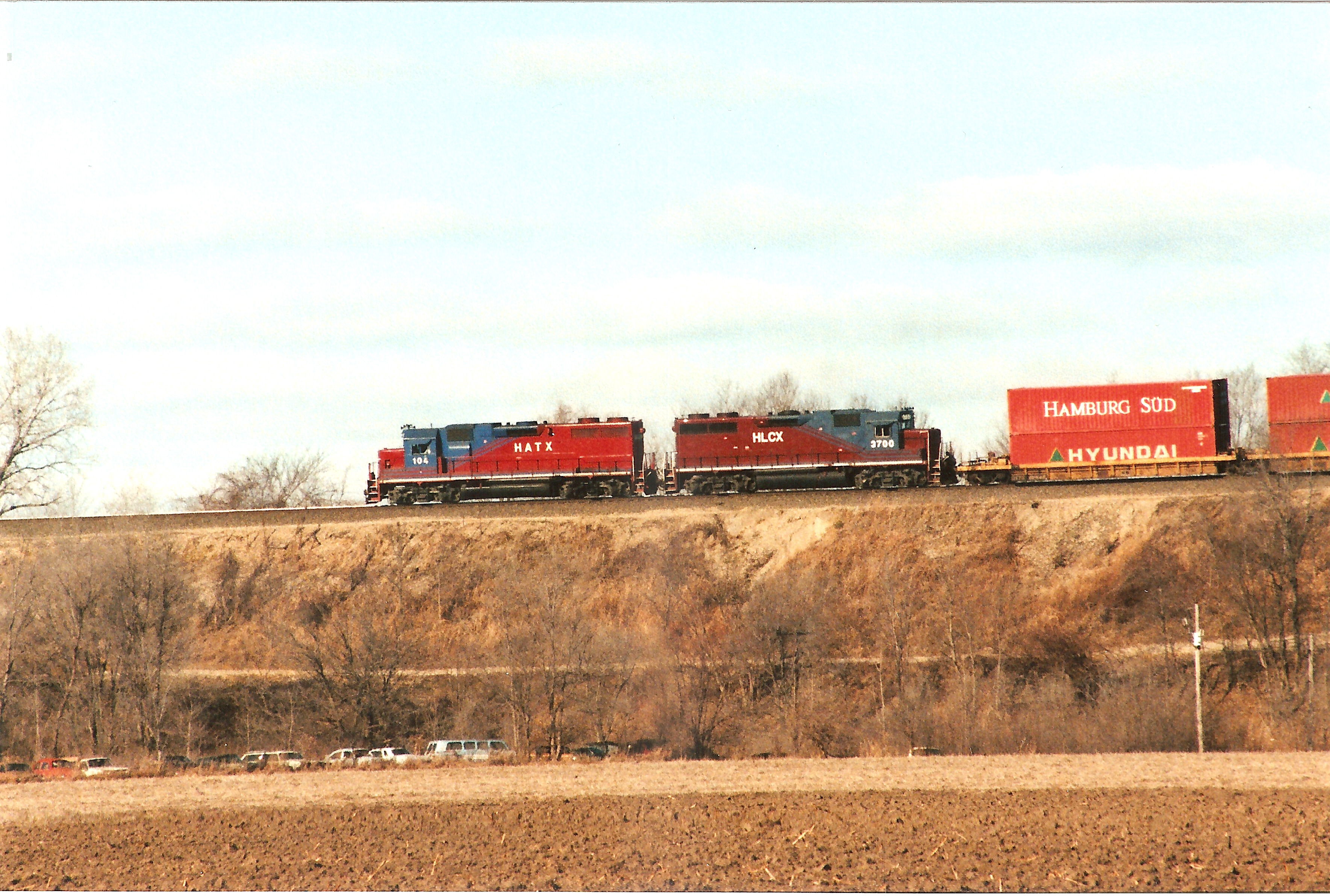
HATX 104

20091007_06-43-22

20091007_06-44-24
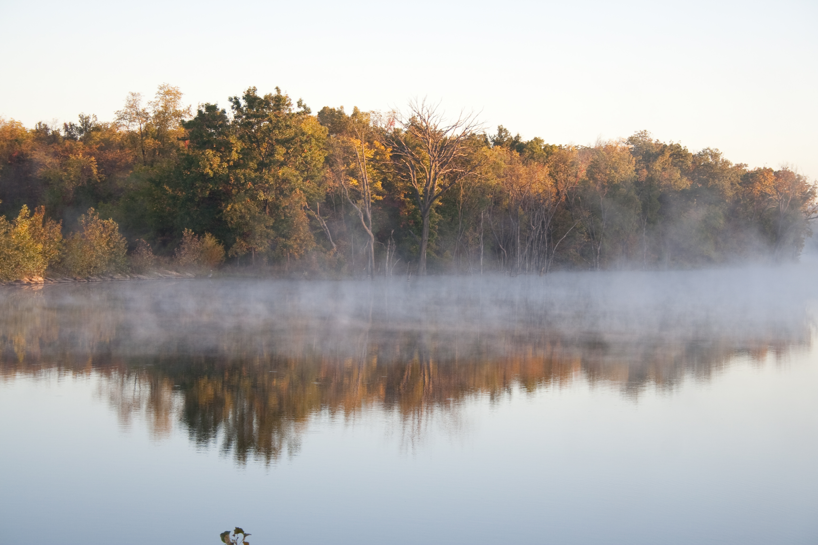
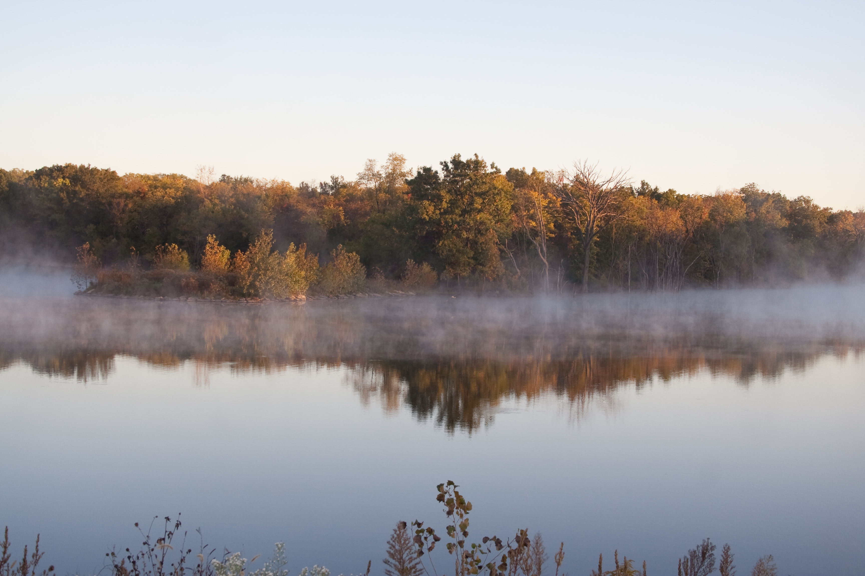
Lake Reflection with Fog

#soybean
Cooley Lake Trail

20091007_06-44-33
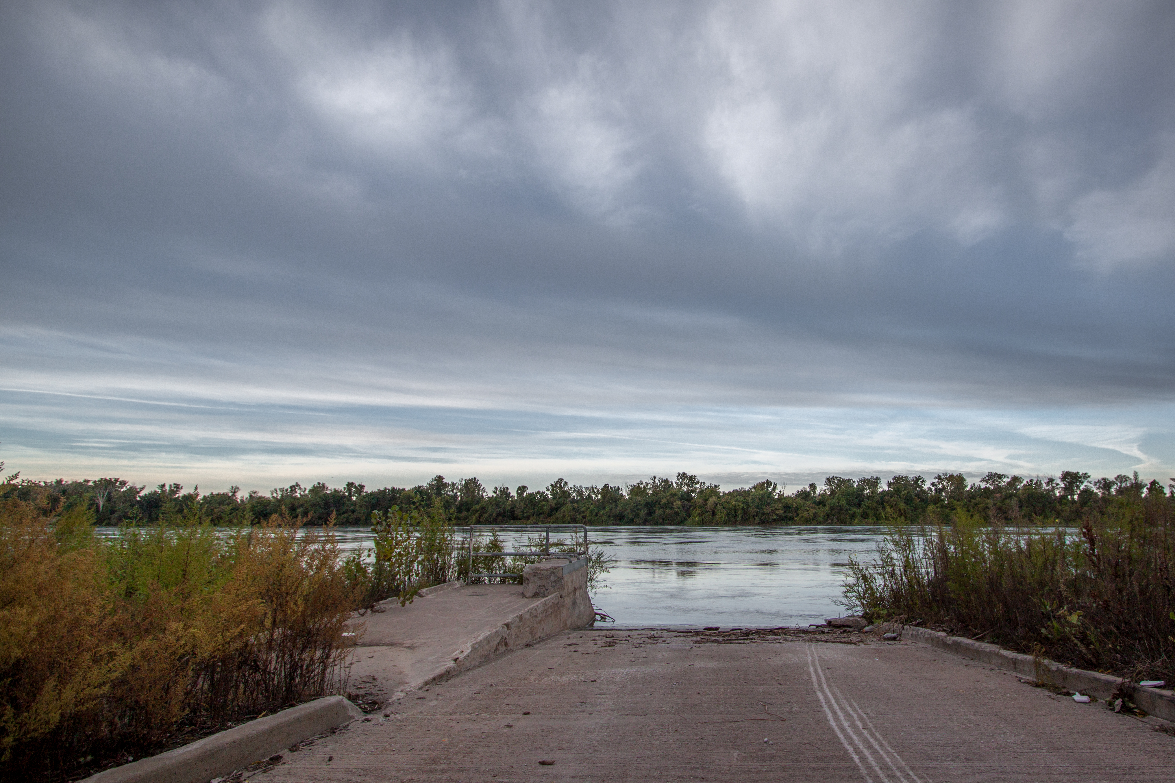
Early Morning at the River
20091007_06-43-36
Topographic Map of Fort Osage Township, MO, USA
Find elevation by address:

Places in Fort Osage Township, MO, USA:
Places near Fort Osage Township, MO, USA:
Sibley
Rock, Levasy, MO, USA
Levasy
Sni-a-bar Township
Orrick
Orrick Township
Albany Rd, Orrick, MO, USA
303 Ne 3rd St
Oak Grove
Holly's Floral & Gifts
Municipal Court
11965 Reynolds Rd
Magnolia Ln, Excelsior Springs, MO, USA
Bates City
Camden
Dekalb Street
S Buckner Tarsney Rd, Grain Valley, MO, USA
Wood Heights
Camden Township
Fishing River Township
Recent Searches:
- Elevation of Corso Fratelli Cairoli, 35, Macerata MC, Italy
- Elevation of Tallevast Rd, Sarasota, FL, USA
- Elevation of 4th St E, Sonoma, CA, USA
- Elevation of Black Hollow Rd, Pennsdale, PA, USA
- Elevation of Oakland Ave, Williamsport, PA, USA
- Elevation of Pedrógão Grande, Portugal
- Elevation of Klee Dr, Martinsburg, WV, USA
- Elevation of Via Roma, Pieranica CR, Italy
- Elevation of Tavkvetili Mountain, Georgia
- Elevation of Hartfords Bluff Cir, Mt Pleasant, SC, USA