Elevation of Camden, MO, USA
Location: United States > Missouri > Ray County > Camden Township >
Longitude: -94.023000
Latitude: 39.1972316
Elevation: 226m / 741feet
Barometric Pressure: 99KPa
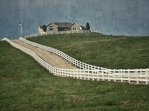
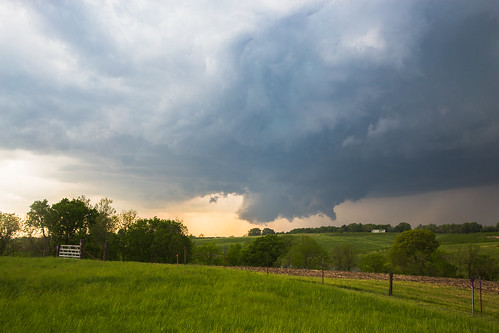
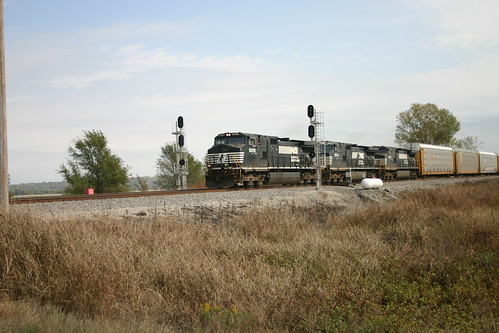
Related Photos:
Topographic Map of Camden, MO, USA
Find elevation by address:

Places in Camden, MO, USA:
Places near Camden, MO, USA:
Dekalb Street
Camden Township
Richmond
Richmond Township
Albany Rd, Orrick, MO, USA
Orrick
Orrick Township
Rock, Levasy, MO, USA
Levasy
13143 Hwy C
Ray County
Rayville
11965 Reynolds Rd
Sibley
Showme Ziplines
Crooked River Township
Magnolia Ln, Excelsior Springs, MO, USA
Lafayette County
Bates City
Fort Osage Township
Recent Searches:
- Elevation of Corso Fratelli Cairoli, 35, Macerata MC, Italy
- Elevation of Tallevast Rd, Sarasota, FL, USA
- Elevation of 4th St E, Sonoma, CA, USA
- Elevation of Black Hollow Rd, Pennsdale, PA, USA
- Elevation of Oakland Ave, Williamsport, PA, USA
- Elevation of Pedrógão Grande, Portugal
- Elevation of Klee Dr, Martinsburg, WV, USA
- Elevation of Via Roma, Pieranica CR, Italy
- Elevation of Tavkvetili Mountain, Georgia
- Elevation of Hartfords Bluff Cir, Mt Pleasant, SC, USA


