Elevation of Fort Defiance, VA, USA
Location: United States > Virginia > Augusta County > North River >
Longitude: -78.971955
Latitude: 38.2403883
Elevation: -10000m / -32808feet
Barometric Pressure: 295KPa
Elevation Map:
Satellite Map:
Related Photos:

Reaching for the Heavens

Columbine II On the Brakes

***Rare*** White-rumped Sandpiper

Columbine II

Station Platform and Bridge

Back Taxi

Downtown View, Staunton, VA

Heading Downtown

Fire Escape

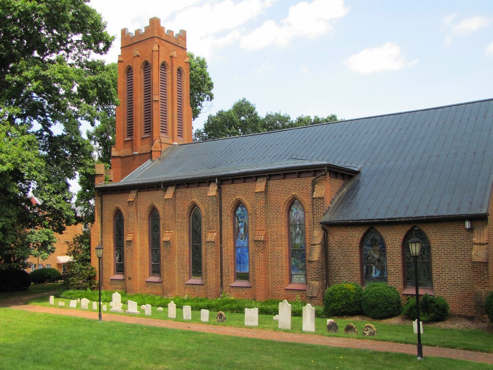
Trinity Episcopal Church
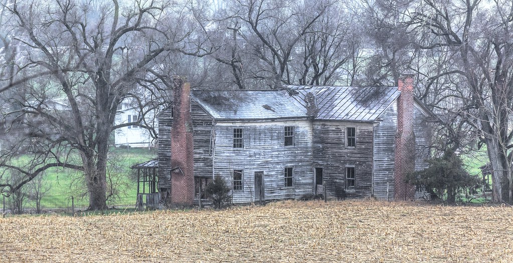
815A3813-1 A Forgotten Home (Explore)

Clouds Over Staunton

Staunton City Hall
Summer at Trinity Church

Trinity Episcopal Church 2

Over the Rooftops

Trinity Episcopal Church - Staunton

DICKCISSEL Spiza americana. MALE SINGING at Twilight showing His Breast and Bend of Wing. Augusta County, Virginia. Photo by Peter Wendelken

1815 Skyline view Img_23138

View from Kalorama Street

Beverley Historic District - Staunton

Augusta County, Virginia - Hillside with Cattle at Sunrise - Explore

South River at Grand Caverns
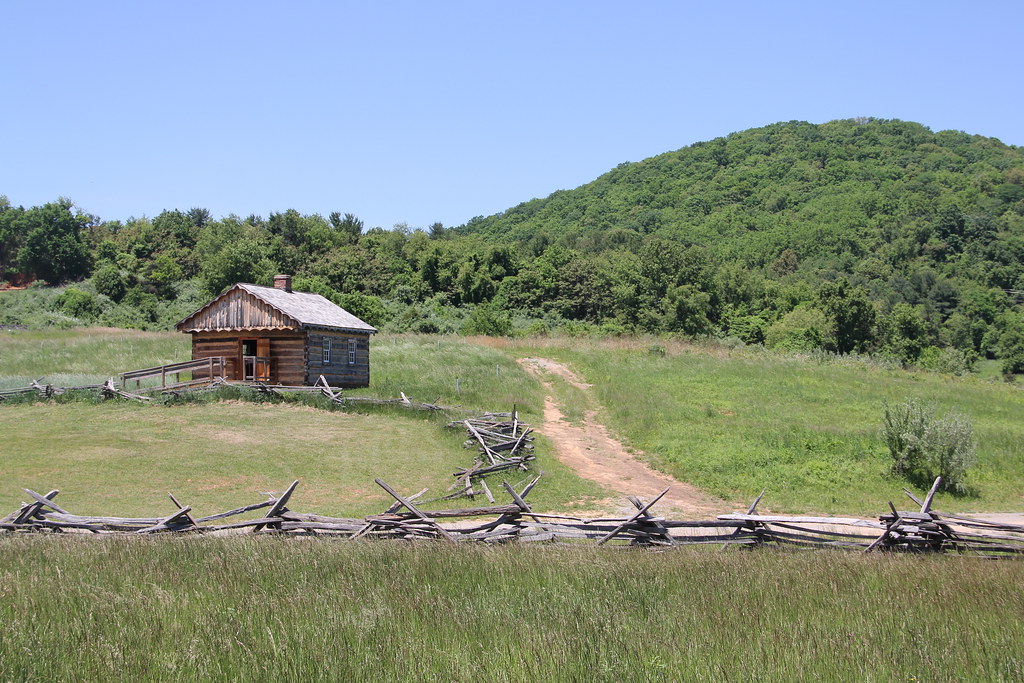
Frontier Culture Museum - Early American Schoolhouse

Shenandoah Valley Farm

1600s England - The First Glimpse of the Staunton Frontier Culture Museum (DTB_5447)

2007.12.27 Massanutten

Betsy Bell Hill

Natural Chimneys

Shenandoah River

Humpback Rocks hike

Grand Caverns

Grand Caverns

Frontier Culture Museum - Woodland Trail

1600 English Farm

West Beverly at Augusta Street

Fenced field 0916.jpg
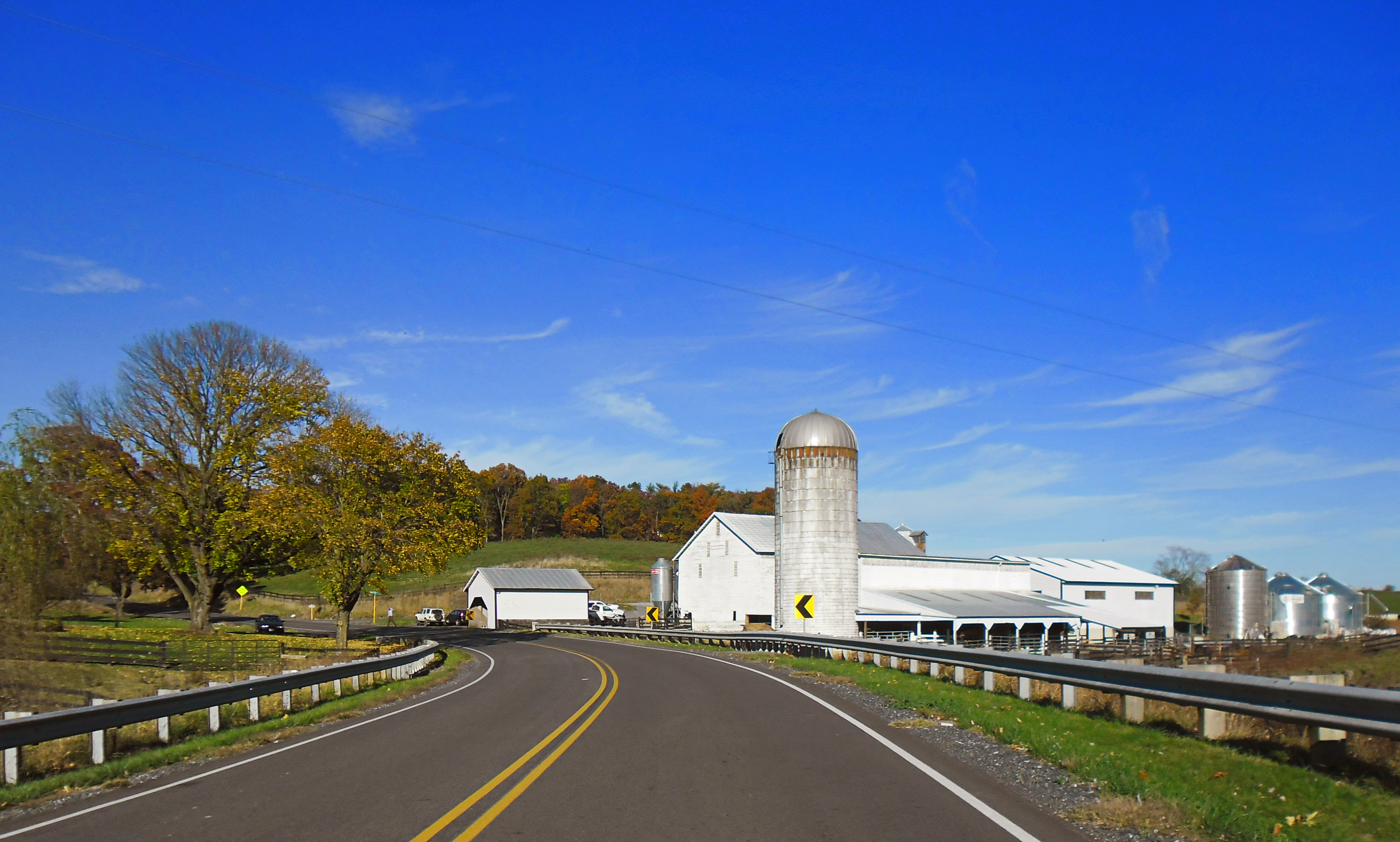
White Barn & Silo

Wildwood Dam

1737 Ganatastwi Img_23060
Summer burgers

The North River
Topographic Map of Fort Defiance, VA, USA
Find elevation by address:

Places near Fort Defiance, VA, USA:
Mount Sidney
154 Flint Hill Rd
188 Sidney Gap Hwy
188 Sidney Gap Rd
74 Mt Pisgah Rd
Limestone Rd, Mt Sidney, VA, USA
99 Old Laurel Hill Rd, Verona, VA, USA
Verona
29 Hawks Ln, Mt Sidney, VA, USA
Stonewall Rd, Weyers Cave, VA, USA
1048 Todd Rd
78 Old Burke Mill Rd, Weyers Cave, VA, USA
Battlefield Rd, New Hope, VA, USA
Balsley Rd, Staunton, VA, USA
Spring Hill Road
997 Battlefield Rd
Commerce Rd, Staunton, VA, USA
125 Berry Farm Rd
2349 Spring Hill Rd
1866 Long Meadow Rd
Recent Searches:
- Elevation of Corso Fratelli Cairoli, 35, Macerata MC, Italy
- Elevation of Tallevast Rd, Sarasota, FL, USA
- Elevation of 4th St E, Sonoma, CA, USA
- Elevation of Black Hollow Rd, Pennsdale, PA, USA
- Elevation of Oakland Ave, Williamsport, PA, USA
- Elevation of Pedrógão Grande, Portugal
- Elevation of Klee Dr, Martinsburg, WV, USA
- Elevation of Via Roma, Pieranica CR, Italy
- Elevation of Tavkvetili Mountain, Georgia
- Elevation of Hartfords Bluff Cir, Mt Pleasant, SC, USA